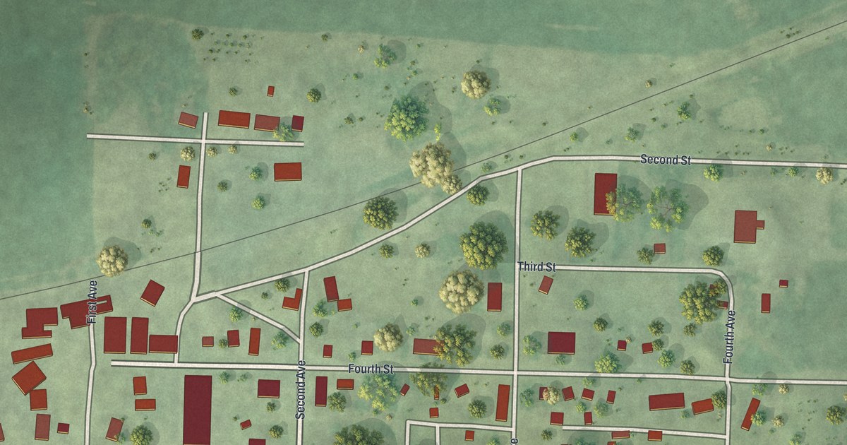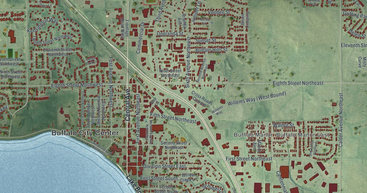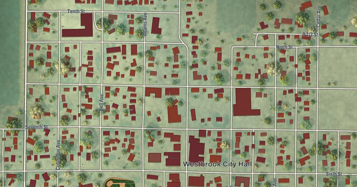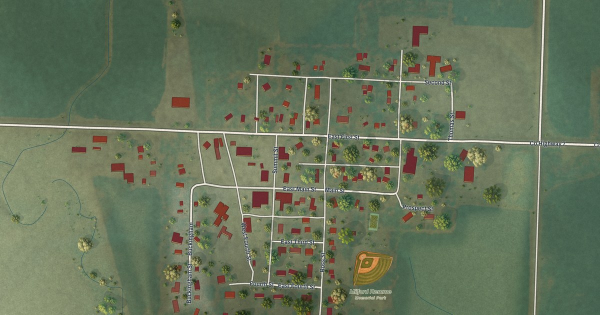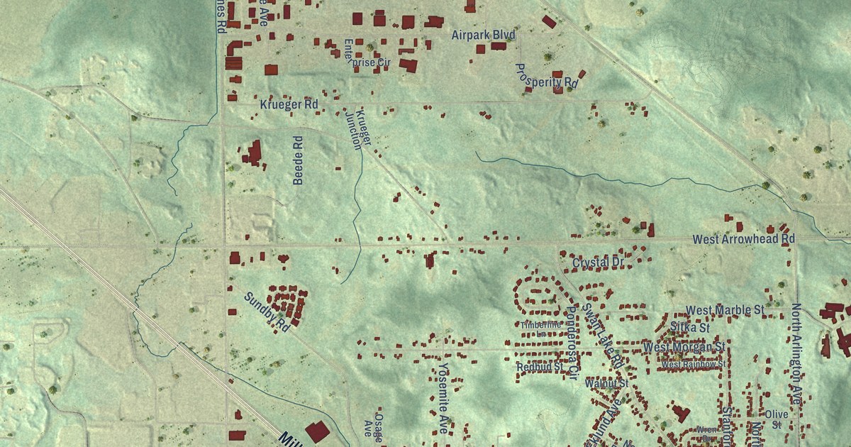
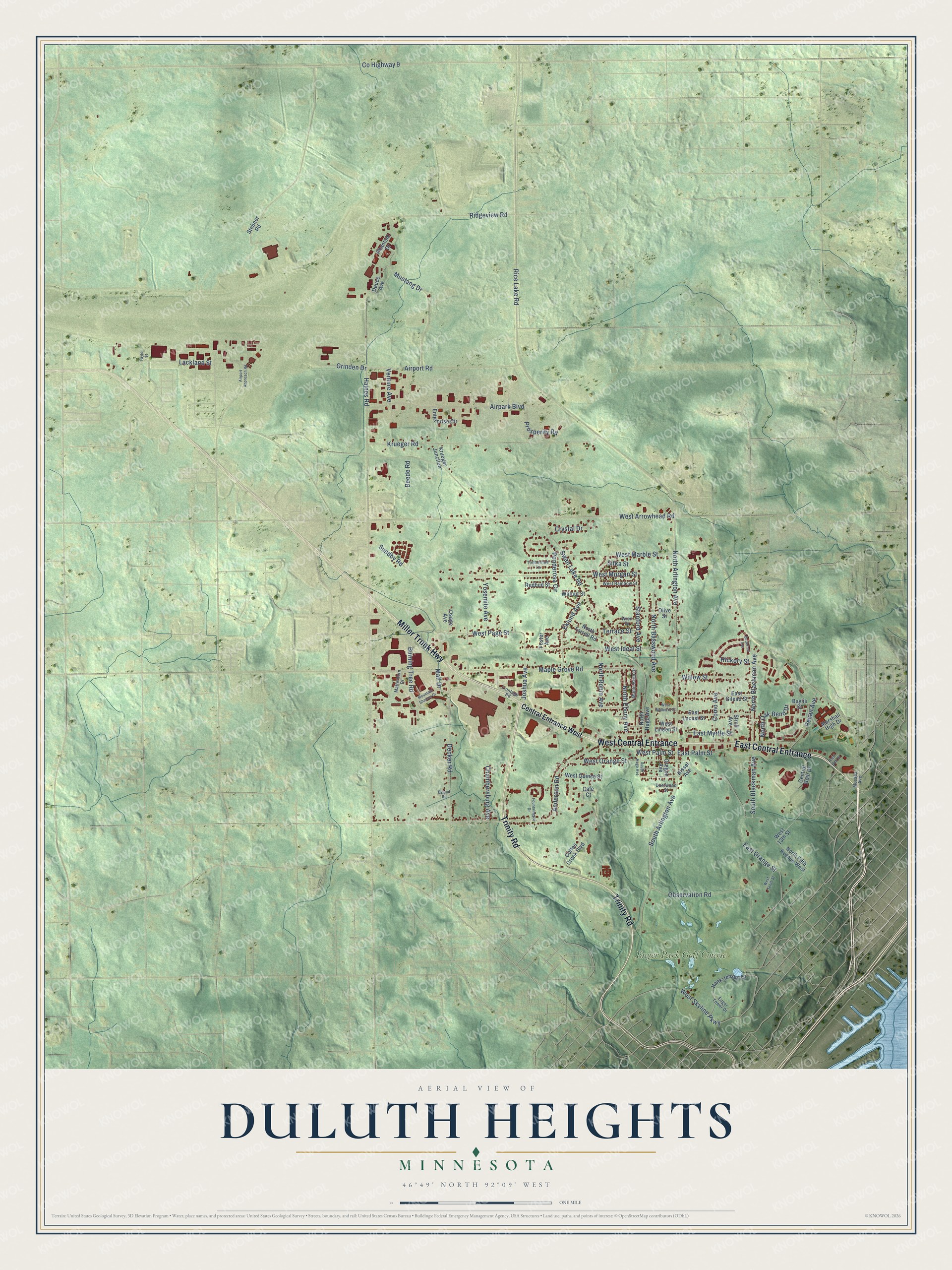
This beautifully detailed map of Duluth Heights, Minnesota was created in 2026 using aerial imagery combined with modern topographical, census, street and landmark data. It’s a one-of-a-kind view of Duluth Heights that combines accurate data with a vintage aesthetic. The map shows every building in its true location, many of the roads carry their names, and the shaded topographic relief shows the shape of the land.
Explore an aerial view of Duluth Heights, Minnesota
On the map you’ll find Enger Park Golf Course, East Central Entrance, and West Central Entrance, along with Trinity Road, Miller Trunk Highway, Mall Drive, South Arlington Avenue, North Arlington Avenue, Rice Lake Road, Joshua Avenue, West Marble Street, Mustang Drive, and more. If you look closely you can even find your house accurately drawn in its correct location. Zoom in on the preview to look for yours.
Take a closer look at the Duluth Heights map
Names on this map
These names are printed on this map.
Places: Enger Park Golf Course.
Streets and roads: Trinity Road, East Central Entrance, West Central Entrance, Miller Trunk Highway, Mall Drive, South Arlington Avenue, North Arlington Avenue, Rice Lake Road, Joshua Avenue, West Marble Street, Mustang Drive, North Robin Avenue.
More street names, A to Z
Airpark Boulevard, Airport Approach Road, Airport Road, Anderson Road, Baylis Street, Beede Road, Burning Tree Road, Butternut Avenue, Bylund Road, Cafe Court, Central Entrance West, Central High Drive, Chambersburg Avenue, Coffee Creek Boulevard, Como Avenue, County Highway 9, Crystal Drive, Decker Road, Deerwood Street, Deuce Avenue, East 14th Street, East Gilead Street, East Locust Street, East Myrtle Street, East Orange Street, East Palm Street, Eklund Avenue, Enger Tower Drive, Enterprise Circle, Foster Avenue, Fountaingate Drive, Frontage Road, Grinden Drive, Haines Road, Hank Jensen Drive, Hickory Street, Kissel Avenue, Krueger Junction, Krueger Road, Lackland Street, Maple Bend Drive, Maple Grove Road, Marshall High Drive, Matterhorn Drive, Mesaba Avenue, Mountain Shadow Drive, North Basswood Avenue, North Blackman Avenue, North Ebony Avenue, North Farrell Road, North Fifth Avenue West, North Hugo Avenue, North Oak Bend Drive, Observation Road, Olive Street, Oregon Avenue, Osage Avenue, Pecan Avenue, Phantom Drive, Ponderosa Circle, Prosperity Road, Redbud Street, Ridgeview Road, Sitka Street, South Blackman Avenue, South Hugo Avenue, Stanford Avenue, Stebner Road, Stroll Avenue, Sundby Road, Swan Lake Road, Taylor Street, Terrace Street, Timberline Lane, Venture Avenue, Walnut Street, West 13th Street, West Arrowhead Road, West Ideal Street, West Linden Street, West Morgan Street, West Mulberry Street, West Orange Street, West Page Street, West Palm Street, West Quince Street, West Rainbow Street, West Skyline Parkway, West Tenth Street, Willow Street, Wren Drive, Yosemite Avenue.
See it on a wall
The Duluth Heights map as a framed print. Swipe for more.


This beautifully detailed map of Duluth Heights makes an attractive addition to your office, library, or den, and it can even be used to teach children the geography and history of the area. It also makes a great gift for anyone with Duluth Heights roots. When you’re done exploring, click here to get your copy of the Duluth Heights map.