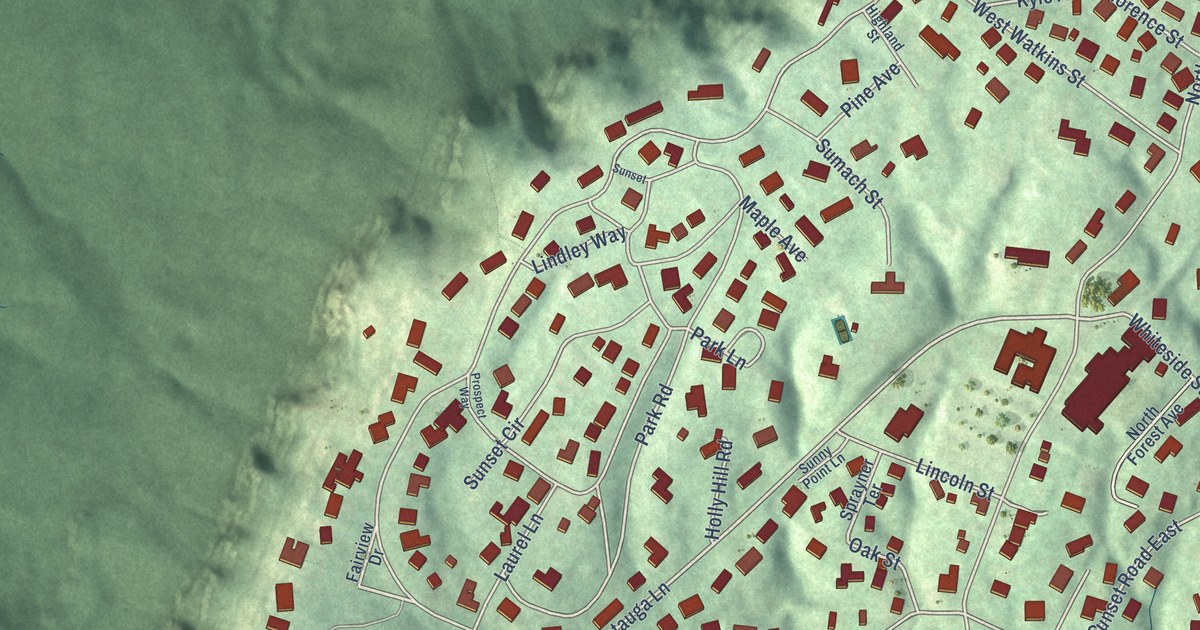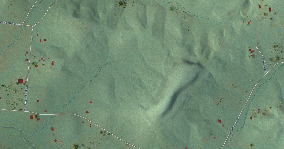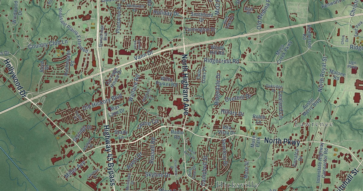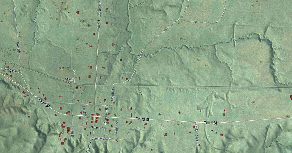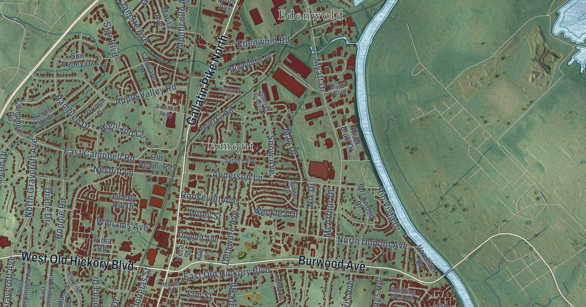
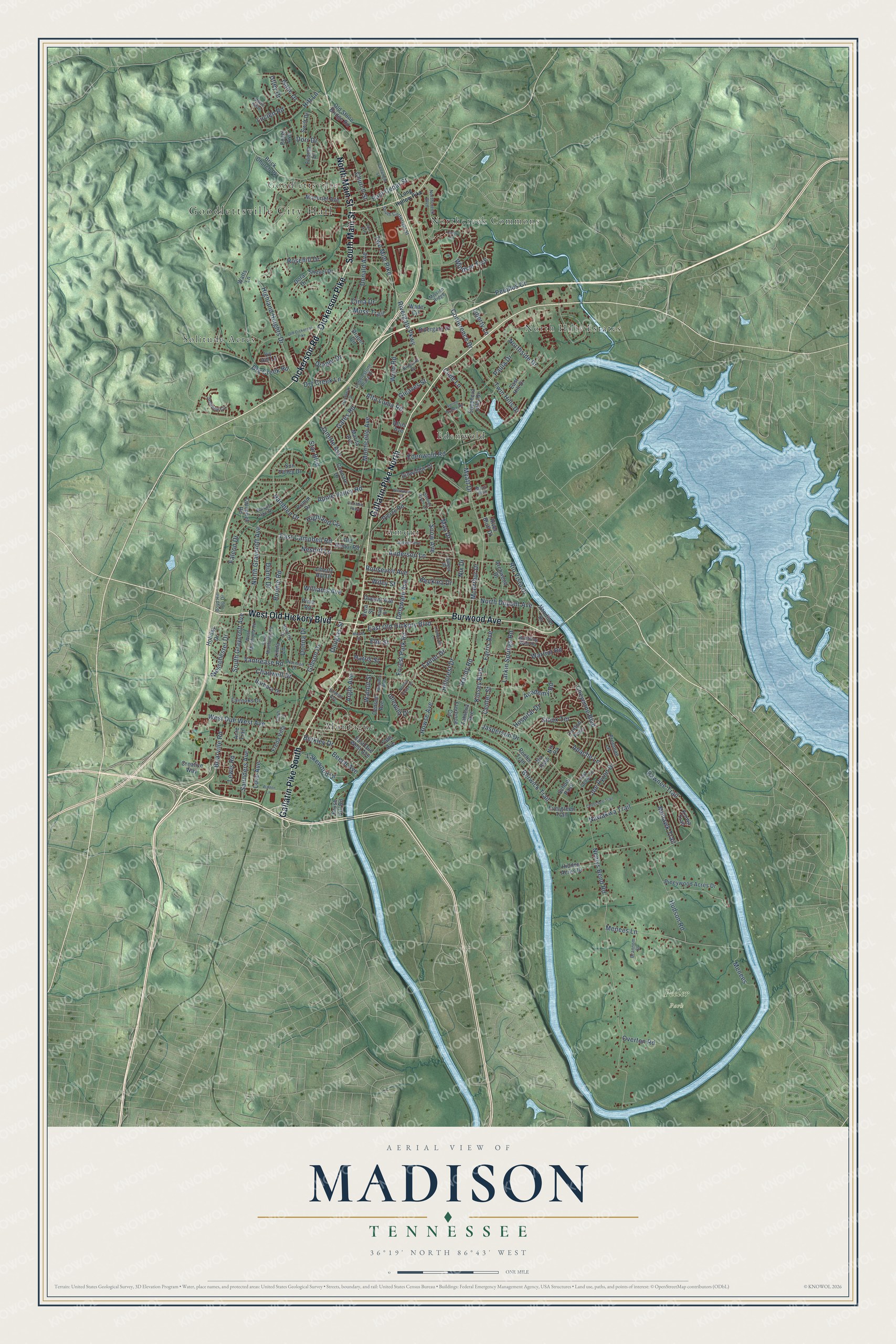
This beautifully detailed map of Madison, Tennessee was created in 2026 using aerial imagery combined with modern topographical, census, street and landmark data. It’s a one-of-a-kind view of Madison that combines accurate data with a vintage aesthetic. The map shows every building in its true location, many of the roads carry their names, and the shaded topographic relief shows the shape of the land.
Explore an aerial view of Madison, Tennessee
On the map you’ll find Goodlettsville City Hall, Peeler Park, Amqui, Montague, Edenwold, Solitude Acres, North Hills Estates, Northcreek Commons, and Goodlettsville, along with Gallatin Pike North, Gallatin Pike South, West Old Hickory Boulevard, and more. If you look closely you can even find your house accurately drawn in its correct location. Zoom in on the preview to look for yours.
Did You Know?
From Internet Archive: "Be it enacted by the General Assembly of the State of Tennessee, That a new county be, and the Chester county. same is hereby established, out of fractions of Madison, Henderson, McWairy and Hardeman counties, to be known as Chester County."
Madison is a place in Davidson County.
Take a closer look at the Madison map
Names on this map
These names are printed on this map.
Places: Goodlettsville City Hall, Peeler Park, Amqui, Montague, Edenwold, Solitude Acres, North Hills Estates, Northcreek Commons and Goodlettsville.
Streets and roads: Gallatin Pike North, Gallatin Pike South, West Old Hickory Boulevard, North Main Street, South Main Street, Dickerson Pike, Burwood Avenue, Dickerson Road, Rivergate Parkway, Myatt Drive, Moss Trail, Janette Avenue.
More street names, A to Z
Academy Road, Acre Trail, Alta Loma Road, Altus Avenue, Anderson Lane, Apache Lane, Apple Valley Road, Archwood Drive, Argle Avenue, Barbara Drive, Becklea Drive, Beech Avenue, Berkley Drive, Berwick Trail, Beverly Drive, Bluebird Drive, Boyd Hill Top Drive, Brannom Street, Briarville Road, Brick Church Pk, Brush Hill Road, Bubbling Well Road, Campbell Road, Canton Pass, Cartwright Street, Cash Lane, Center Street, Chadwell Drive, Cheechee Trail, Cheyenne Boulevard, Church Street, Cima Drive, Cobblestone Place Drive, Conference Drive, Connare Drive, Creative Way, Cude Lane, Delaware Avenue, Denson Avenue, Diane Drive, Dinwiddie Drive, Donald Avenue, Donna Drive, Dora Drive, Dorr Drive, Douglas Street, Draper Circle, Draper Drive, Dry Creek Lane, Dry Creek Road, Dupont Avenue, East Avenue, East Campbell Road, East Cedar Lane, East Cedar Street, East Due West Avenue, East Hill Drive, East Marthona Road, East Old Hickory Boulevard, Edenwold Road, Elm Street, Emmitt Avenue, Engel Avenue, Evergreen Trail, Fairoaks Drive, Falcon Drive, Falls Avenue, Fannin Drive, Farris Avenue, Florence Circle, Forest Park Road, Freda Villa, Freeman Lane, Gates Road, Gibson Drive, Gleaves Street, Hamblen Drive, Hardaway Drive, Harris Street, Hidden Acres Drive, Highland Circle, Highland Heights Drive, Hillcrest Drive, Hitt Lane, Holiday Drive, Hospital Drive, Howse Avenue, Hudson Road, Idlewild Drive, Isaac Drive, Ivy Hill Lane, Jasperson Drive, Joe Pyron Drive, Kate Street, Kinsey Boulevard, Kiowa Trail, Lakewood Drive, Lanier Drive, Larkin Springs Road, Lenox Place, Lewis Road, Liberty Hill Drive, Liberty Lane, Linda Lane, Lombardia Lane, Long Hollow Pike, Love Avenue, Lucien Road, Madison Boulevard, Maple Street, Marita Avenue, May Drive, McArthur Drive, Menees, Menees Lane, Mission Ridge, Mohawk Trail, Moncrief Avenue, Monticello Avenue, Myatt Boulevard, Mystic Hill Drive, Nawakwa Trail, Neelys Bend Road, Neelys Chase Drive, Nesbitt Lane, Nix Drive, Nix Pa, Nix Pass, Norman Drive, Northcreek Boulevard, North Dupont Avenue, North Graycroft Avenue, Northside Drive, Old Amqui Road, Old Dickerson Pike, Old Stone Bridge Road, One Mile Parkway, Overton Road, Paula Drive, Pawnee Trail, Peeler Trail, Peeples Court, Pierce Road, Pima Road, Pineywood Acres Drive, Primm Drive, Randy Road, Rio Vista Drive, River Bluff Drive, Rivergate Drive, Ronnie Road, Roosevelt Avenue, Rosehill Drive, Sarver Avenue, Saunders Avenue, School Pass, Shepherd Hills Drive, Shevel Drive, Singer Drive, Sioux Terrace, Snow Avenue, Solitude Circle, South Cartwright Street, South Graycroft Avenue, Spring Branch Road, Star Boulevard, Stoney River Lane, Sun Valley Drive, Swift Drive, Tahlena Avenue, Twin Hills Drive, Two Mile Pike, Utley Drive, Vandiver Drive, Vantrease Road, Vera Street, Wade Circle, Walnut Street, Walton Lane, Warrior Road, Watts Lane, Welworth Street, Westchester Drive, West Due West Avenue, West Marthona Road, Wiley Street, Williams Avenue, Windsor Trce, Woods Lake Drive, Wren Road.
See it on a wall
The Madison map as a framed print. Swipe for more.


This beautifully detailed map of Madison makes an attractive addition to your office, library, or den, and it can even be used to teach children the geography and history of the area. It also makes a great gift for anyone with Madison roots. When you’re done exploring, click here to get your copy of the Madison map.