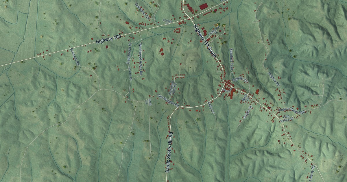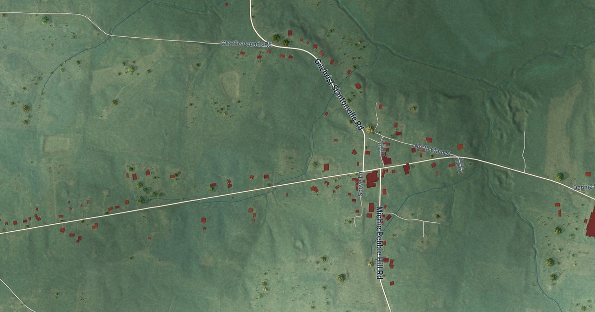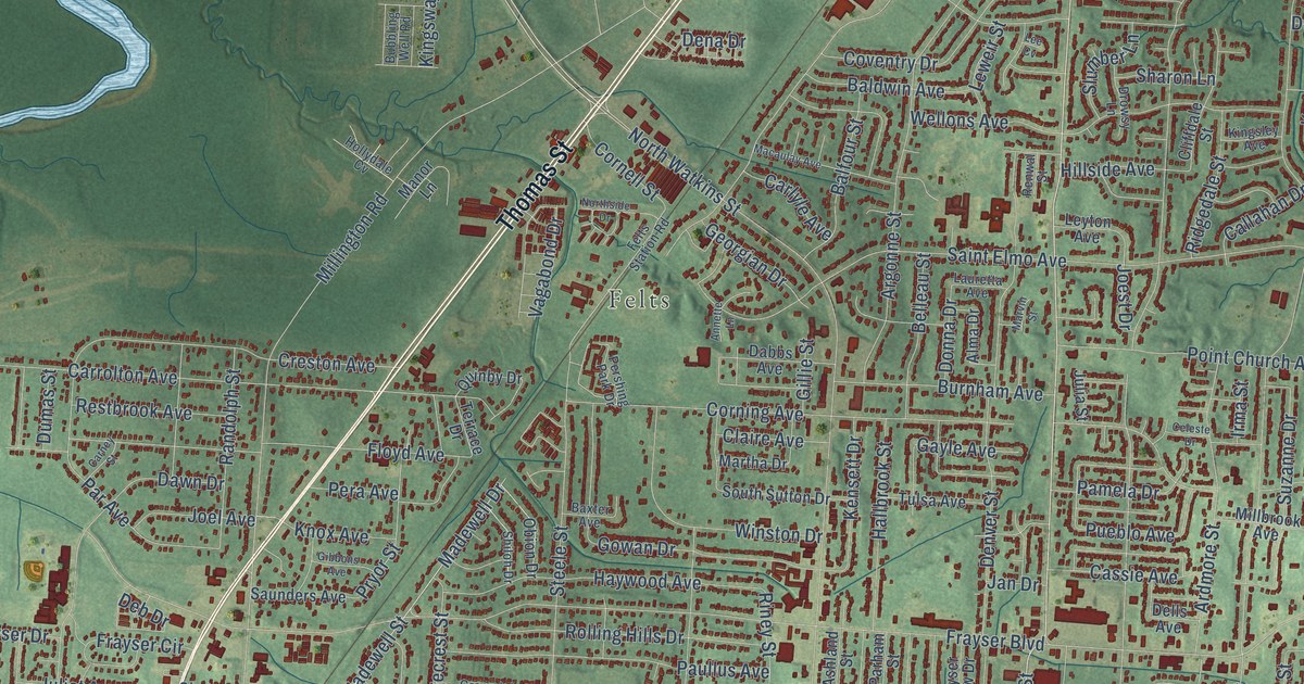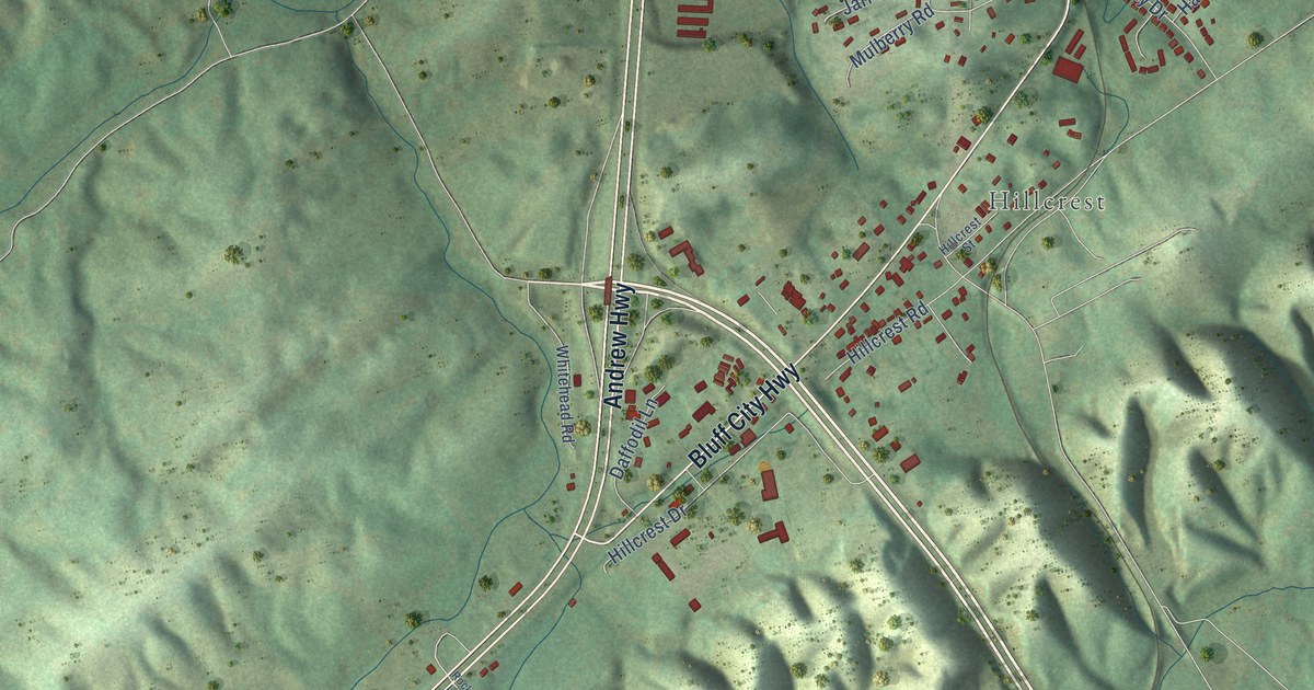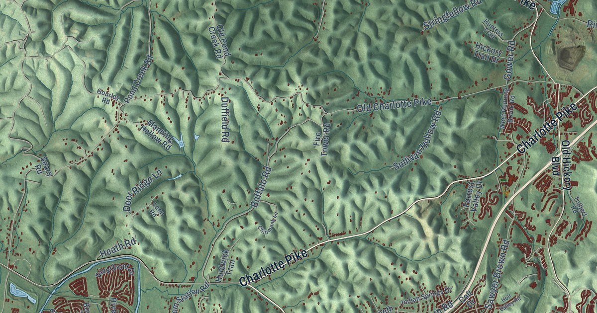
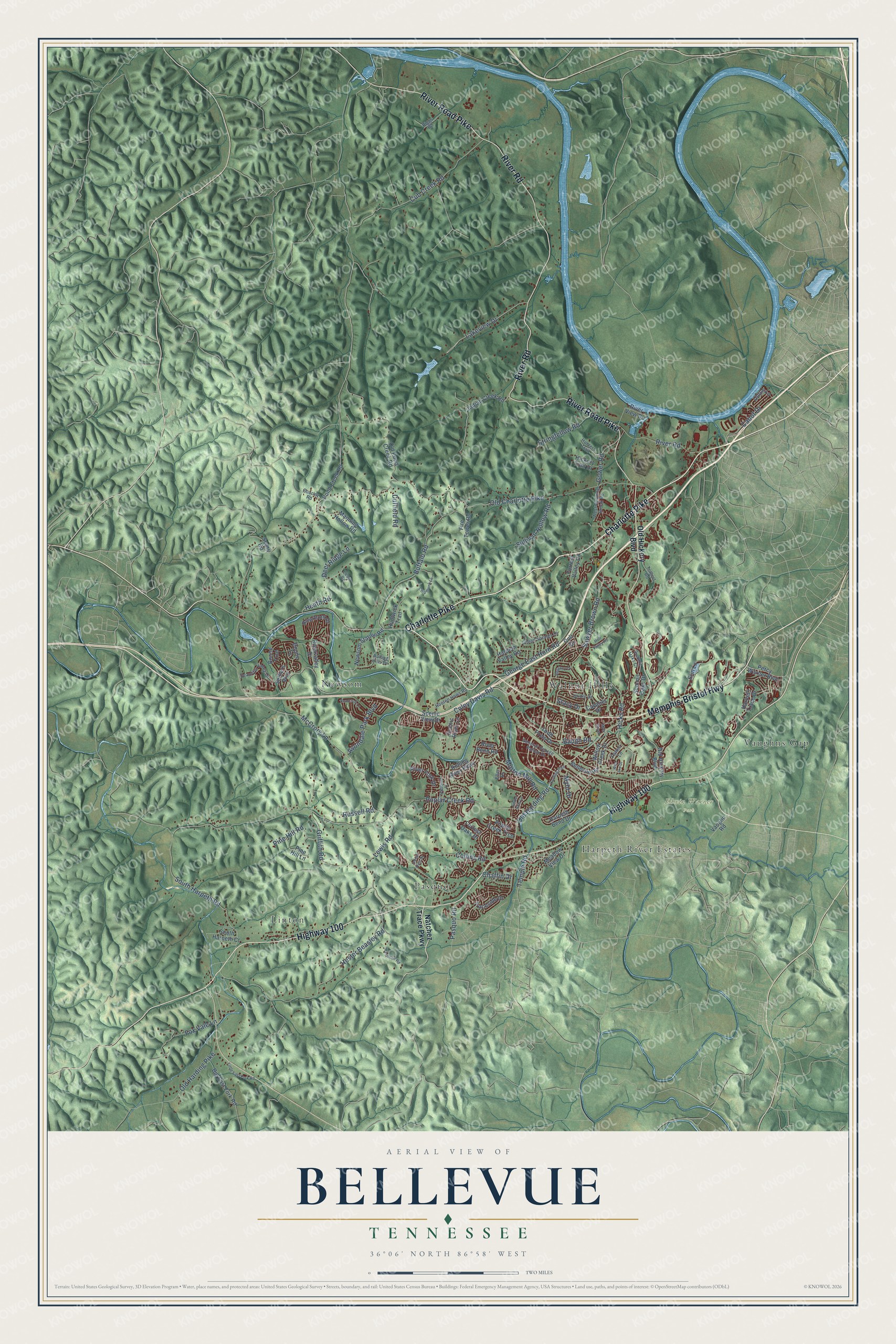
This beautifully detailed map of Bellevue, Tennessee was created in 2026 using aerial imagery combined with modern topographical, census, street and landmark data. It’s a one-of-a-kind view of Bellevue that combines accurate data with a vintage aesthetic. The map shows every building in its true location, many of the roads carry their names, and the shaded topographic relief shows the shape of the land.
Explore an aerial view of Bellevue, Tennessee
On the map you’ll find Edwin Warner Park, Linton, Newsom, Pasquo, Harpeth River Estates, Vaughns Gap, and Walnut Hills, along with Charlotte Pike, Memphis-Bristol Highway, Highway 100, River Road Pike, River Road, and more. If you look closely you can even find your house accurately drawn in its correct location. Zoom in on the preview to look for yours.
Did You Know?
From Internet Archive: "D. degree was conferred by Bellevue Medical Hospital School upon the completion of the course of medicine in 1879."
Bellevue is a place in Davidson County.
Take a closer look at the Bellevue map
Names on this map
These names are printed on this map.
Places: Edwin Warner Park, Linton, Newsom, Pasquo, Harpeth River Estates, Vaughns Gap and Walnut Hills.
Streets and roads: Charlotte Pike, Memphis-Bristol Highway, Highway 100, River Road Pike, River Road, Sawyer Brown Road, Baugh Road, Old Charlotte Pike, Old Harding Pike, Poplar Creek Road, McCrory Lane, Hester Beasley Road.
More street names, A to Z
Amber Hills Lane, Avondale Park Boulevard, Beautiful Valley Drive, Bellevue Road, Big East Fork Road, Biggs Road, Boone Tc, Boone Trce, Bridle Drive, Buffalo Road, Cabot Drive, Cavalier Drive, Chaffin Drive, Chipmunk Lane, Coley Davis Road, Collins Road, Colt Drive, Cub Creek Road, Deer Ridge Lane, Duffield Road, Eller Drive, Erin Lane, Fire Tower Road, Forrest Oaks Drive, Forrest Valley Drive, Fox Vale Lane, General George Patton Drive, George East Horn Road, Gourley Road, Gower Road, Griffith Road, Harding Pike, Harpeth Bend Drive, Harpeth Trace Drive, Harpeth Valley Road, Haselton Road, Heath Road, Hickory Trail Drive, Hicks Road, Holt Valley Road, Hooten Hows Road, Hunters Trail, Huntwick Trail, Indian Creek Road, Indian Hills Drive, Indian Springs Drive, Lakeview Drive, Leon Road, Lewis Road, Little East Fork Road, Manning Hollow Road, Meadow View Drive, Morton Mill Road, Myhr Drive, Myhr Green, Natchez Trace Parkway, Newsom Station Road, Old Harding Road, Old Hickory Boulevard, Old Pond Creek Road, Pasquo Road, Patten Lane, Percy Warner Boulevard, Pine Hill Lane, Pine Hill Road, Pond Creek Road, Poplar Creek Trce, Regency Drive, River Bend Road, River Fork Drive, Riverfront Drive, Rivervalley Drive, River View Drive, Rolling Hills Drive, Rolling River Parkway, Russell Road, Scarcroft Lane, Scenic River Lane, Scenic View Drive, Sears Road, Settlers Way, Somerset Place, South Harpeth Court, South Harpeth Road, Stacy Drive, Stringfellow Road, Sullivan Hollow Road, Summit Oaks Court, Summit Oaks Drive, Temple Road, Todd Preis Drive, Tolbert Road, Traceside Drive, Upton Lane, Vaughn Road, West Running Brook Road, Wild Iris Drive, Willow Creek Drive.
See it on a wall
The Bellevue map as a framed print. Swipe for more.


This beautifully detailed map of Bellevue makes an attractive addition to your office, library, or den, and it can even be used to teach children the geography and history of the area. It also makes a great gift for anyone who grew up in Bellevue or moved away. When you’re done exploring, click here to get your copy of the Bellevue map.