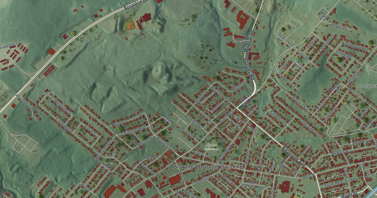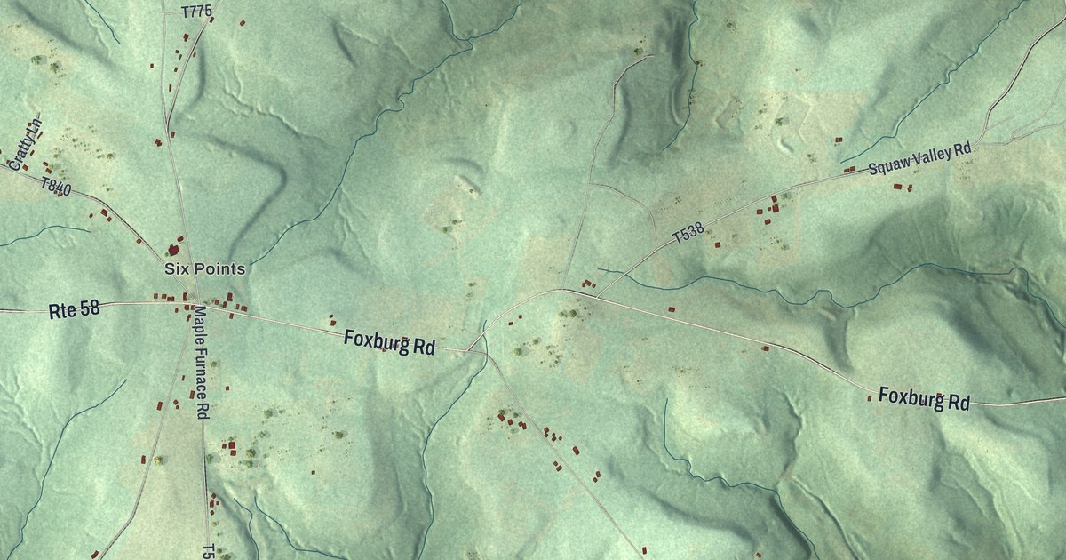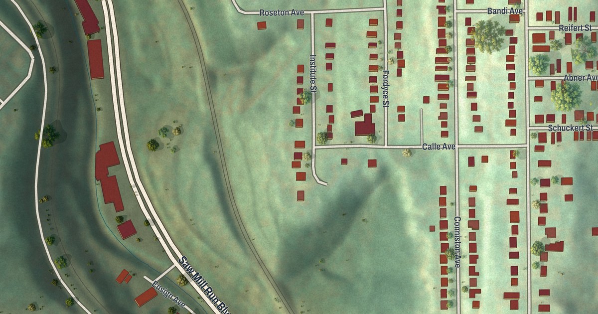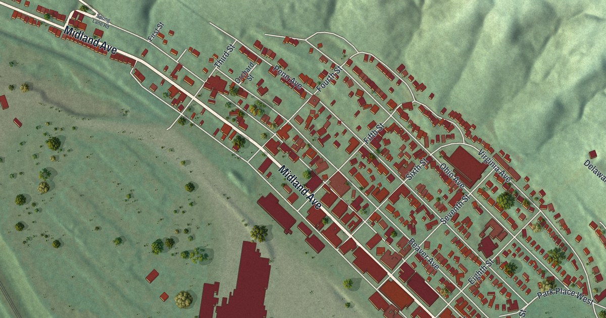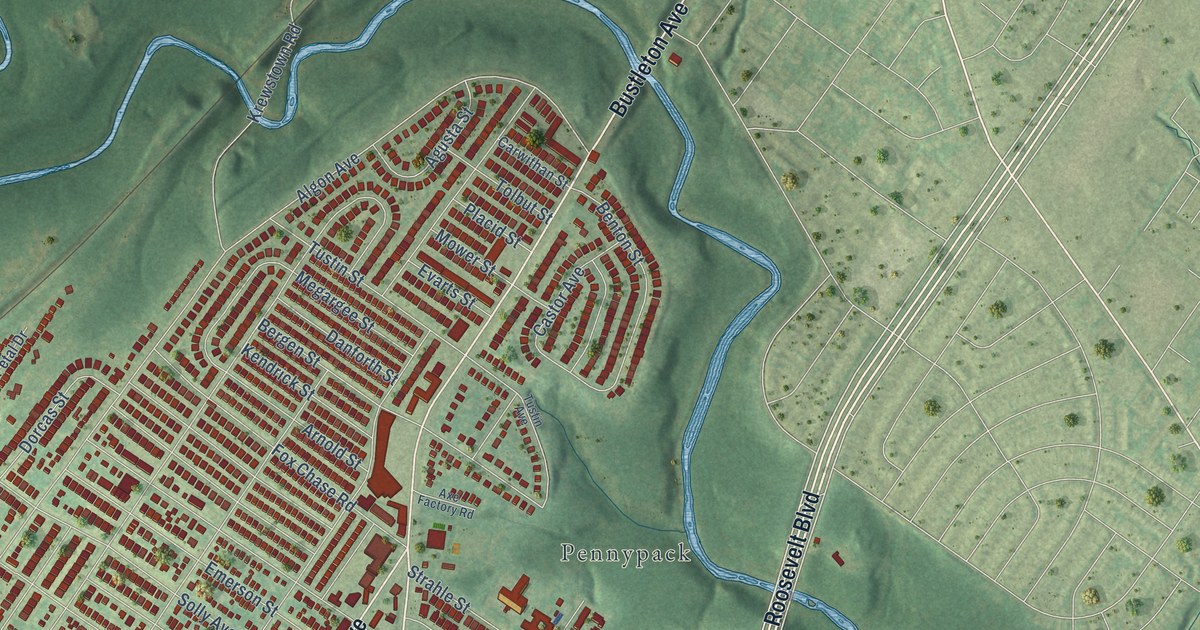
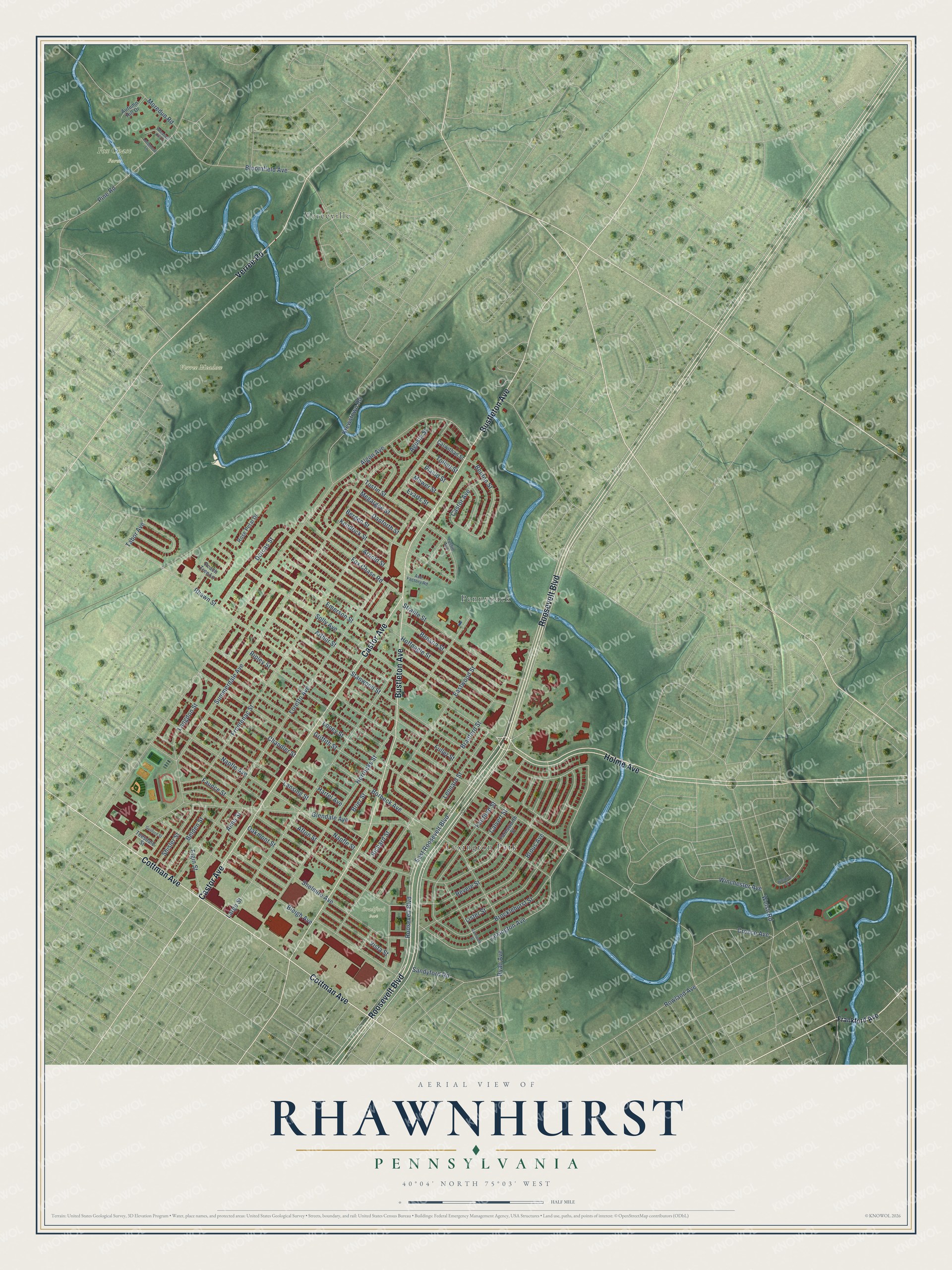
This beautifully detailed map of Rhawnhurst, Pennsylvania was created in 2026 using aerial imagery combined with modern topographical, census, street and landmark data. It’s a one-of-a-kind view of Rhawnhurst that combines accurate data with a vintage aesthetic. The map shows every building in its true location, many of the roads carry their names, and the shaded topographic relief shows the shape of the land.
Explore an aerial view of Rhawnhurst, Pennsylvania
On the map you’ll find Fox Chase Farm, Verree Meadow, Bradford Park, Pennypack, Lexington Park, and Vereeville, along with Roosevelt Boulevard, Bustleton Avenue, Castor Avenue, Cottman Avenue, Holme Avenue, Verree Road, and more. If you look closely you can even find your house accurately drawn in its correct location. Zoom in on the preview to look for yours.
Did You Know?
From Internet Archive: "Williams Herman Miller Marriage: Clyde Edward Adkins and Sarah Ann Communicants received: Anna Earnest D'Autrechy, All Saints, Rhawnhurst, Emma Boerner, from Zion Church, Phila. sell at the Bazaar."
Rhawnhurst is a place in Philadelphia County.
Take a closer look at the Rhawnhurst map
Names on this map
These names are printed on this map.
Places: Fox Chase Farm, Verree Meadow, Bradford Park, Pennypack, Lexington Park and Vereeville.
Streets and roads: Roosevelt Boulevard, Bustleton Avenue, Castor Avenue, Cottman Avenue, Holme Avenue, Verree Road, East Roosevelt Boulevard, Solly Avenue, Lexington Avenue, Napfle Street, Agusta Street, Large Street.
More street names, A to Z
Afton Street, Algon Avenue, Alma Street, Arnold Street, Arthur Street, Autumn Hill Drive, Axe Factory Road, Belden Street, Benson Street, Benton Street, Bergen Street, Bleigh Avenue, Bloomfield Avenue, Borbeck Avenue, Bradford Street, Brier Street, Brocklehurst Street, Brous Avenue, Calvert Street, Carnwath Street, Carwithan Street, Chandler Street, Cresco Avenue, Danforth Street, Dorcas Street, Eastwood Street, Elgin Street, Emerson Street, Evarts Street, Fairfield Street, Farnsworth Street, Faunce Street, Fox Chase Road, Frankford Avenue, Frontenac Street, Fuller Street, Glendale Avenue, Griffith Street, Guilford Street, Hartel Avenue, Hoffnagle Street, Horrocks Street, Kendrick Street, Krewstown Road, Langdon Street, Lansing Street, Leonard Street, Lister Street, Loney Street, Longmead Lane, Loretto Avenue, Megargee Street, Moredun Road, Mower Street, Napfle Avenue, Oakmont Street, Peach Tree Lane, Pheasant Hill Drive, Pine Road, Placid Street, Revere Street, Rhawn Street, Richard Street, Ripley Street, Rose Petal Drive, Rowland Avenue, Ryan Avenue, Sandyford Road, Shelmire Avenue, Shisler Street, Stanwood Street, Strahle Street, Summerdale Avenue, Tabor Avenue, Teesdale Street, Tolbut Street, Tustin Avenue, Tustin Street, Vista Street, Welsh Road, Winchester Avenue, Winthrop Street.
See it on a wall
The Rhawnhurst map as a framed print. Swipe for more.


This beautifully detailed map of Rhawnhurst makes an attractive addition to your office, library, or den, and it can even be used to teach children the geography and history of the area. It also makes a great gift for someone who left Rhawnhurst and still calls it home. When you’re done exploring, click here to get your copy of the Rhawnhurst map.