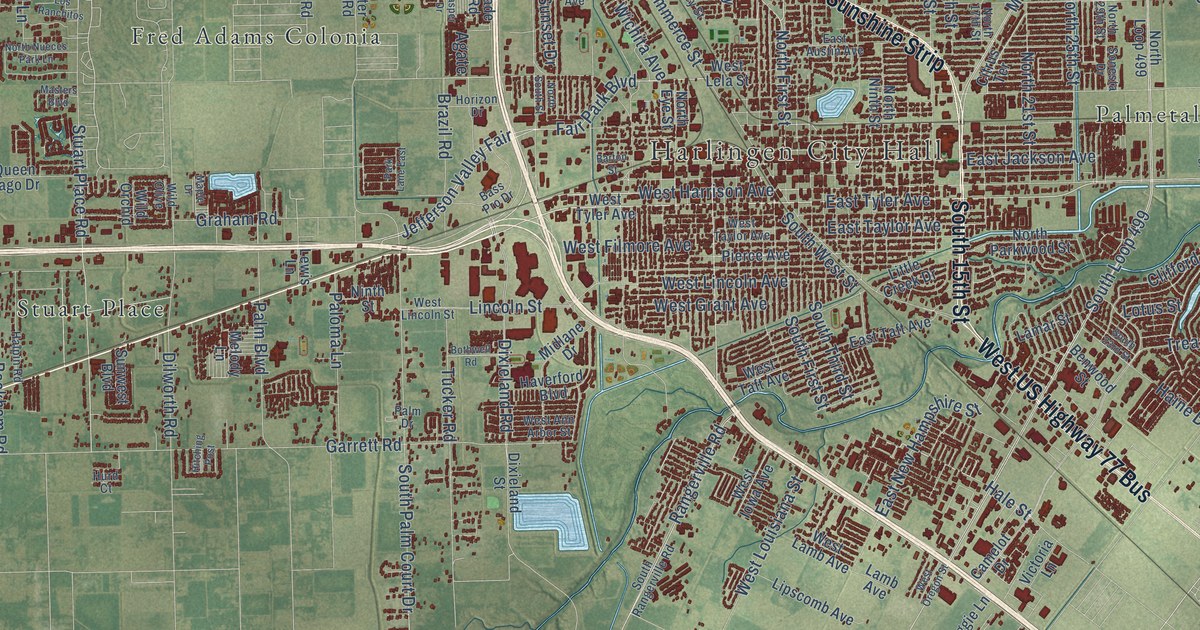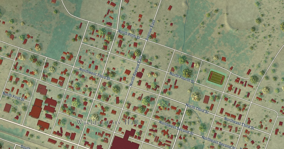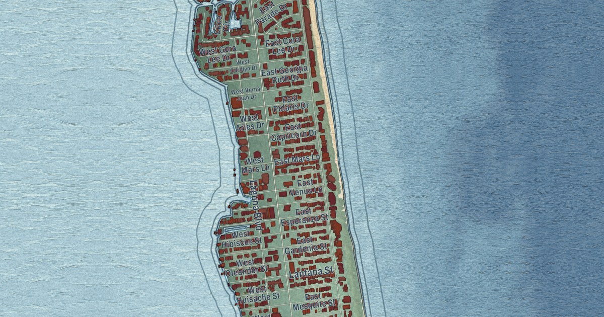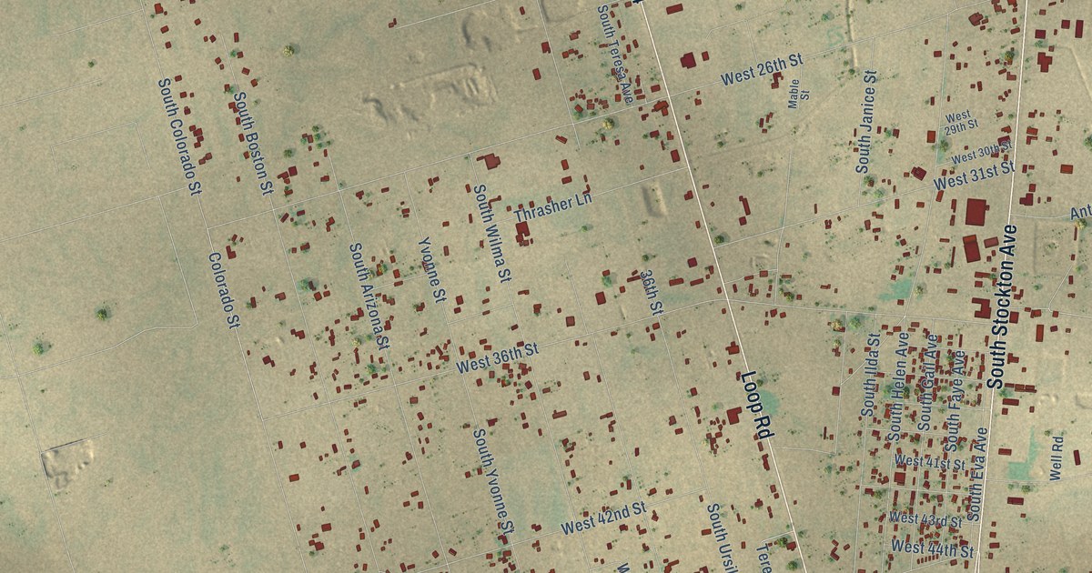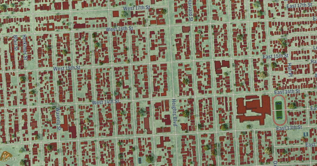
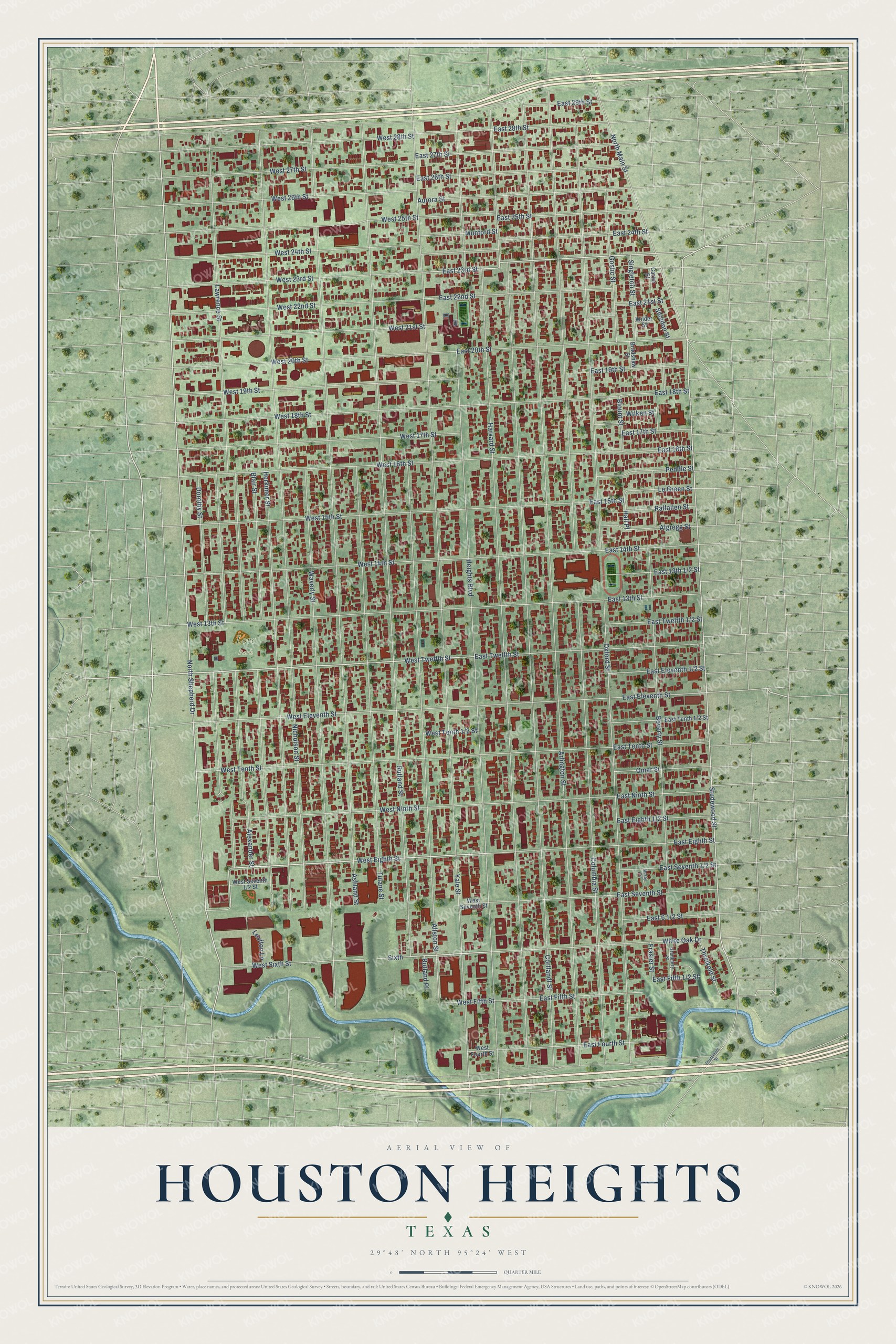
This beautifully detailed map of Houston Heights, Texas was created in 2026 using aerial imagery combined with modern topographical, census, street and landmark data. It’s a one-of-a-kind view of Houston Heights that combines accurate data with a vintage aesthetic. The map shows every building in its true location, many of the roads carry their names, and the shaded topographic relief shows the shape of the land.
Explore an aerial view of Houston Heights, Texas
On the map you’ll find Love Park, along with North Shepherd Drive, Dorothy Street, Studewood Street, West Twelfth Street, West Eighth Street, West Sixth Street, East 23rd Street, Yale Street, Arlington Street, Cortlandt Street, Harvard Street, and more. If you look closely you can even find your house accurately drawn in its correct location. Zoom in on the preview to look for yours.
Did You Know?
Oscar Martin Carter, a former Nebraska bank president, came to Houston in 1886. By 1891 his land company had bought 1,756 acres and laid out the Heights as a streetcar suburb. The land sat 23 feet above Houston. That height drew families away from a flooded city hit by yellow fever.
Take a closer look at the Houston Heights map
Names on this map
These names are printed on this map.
Places: Love Park.
Streets and roads: North Shepherd Drive, Dorothy Street, Studewood Street, West Twelfth Street, West Eighth Street, West Sixth Street, East 23rd Street, Yale Street, Arlington Street, Cortlandt Street, Harvard Street, Columbia Street.
More street names, A to Z
Alexander Street, Algregg Street, Allston Street, Ashland Street, Aurora Street, Beverly Street, Blair Street, Blount Street, Bradshaw Street, Carter Street, East 13th Street, East 14th Street, East 15th Street, East 16th Street, East 17th Street, East 18th Street, East 19th Street, East 20th Street, East 21st Street, East 22nd Street, East 24th Street, East 25th Street, East 26th Street, East 27th Street, East 28th Street, East 29th Street, East Eighth Street, East Eleventh Street, East Fifth Street, East Fourth Street, East Ninth Street, East Seventh Street, East Tenth Street, East Twelfth Street, Frasier Street, Gostic Street, Granberry Street, Hall Place, Heights Boulevard, Herkimer Street, Lawrence Street, Leafton Lane, Le Green Street, Mosby Circle, Munford Street, Nicholson Street, North Main Street, Omar Street, Oxford Street, Peddie Street, Ralfallen Street, Rutland Place, Rutland Street, Sheldon Street, Singleton Street, Sixth, Studemont Street, Threlkeld Street, Tulane Street, Waverly Street, West 13th Street, West 14th Street, West 15th Street, West 16th Street, West 17th Street, West 18th Street, West 19th Street, West 20th Street, West 21st Street, West 22nd Street, West 23rd Street, West 24th Street, West 25th Street, West 26th Street, West 27th Street, West 28th Street, West Eleventh Street, West Fifth Street, West Fourth Street, West Ninth Street, West Seventh Street, West Tenth Street, White Oak Drive, Wilder Street, Wilken Street.
See it on a wall
The Houston Heights map as a framed print. Swipe for more.


This beautifully detailed map of Houston Heights makes an attractive addition to your office, library, or den, and it can even be used to teach children the geography and history of the area. It also makes a great gift for anyone with Houston Heights roots. When you’re done exploring, click here to get your copy of the Houston Heights map.