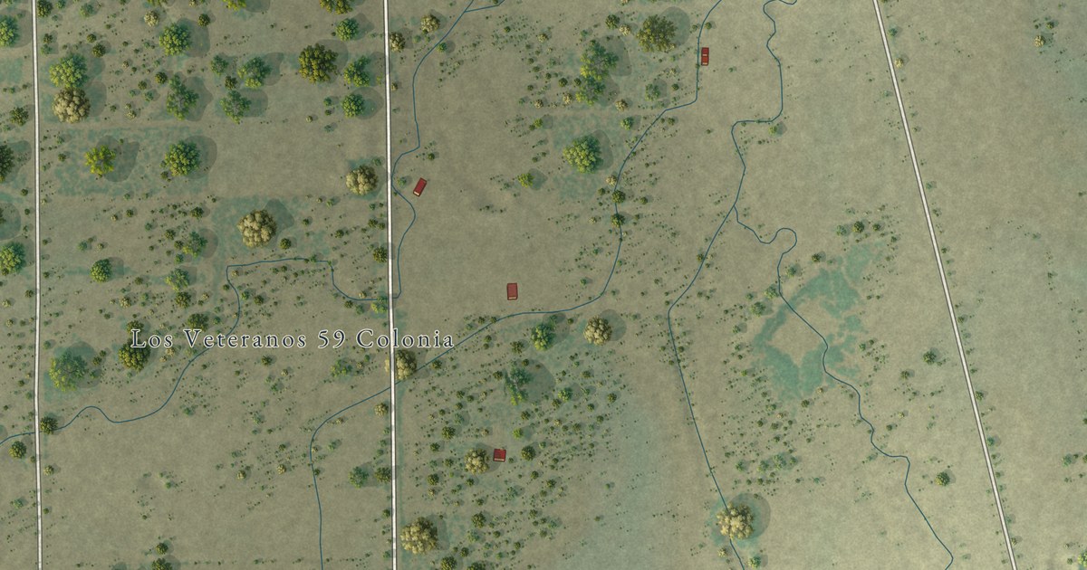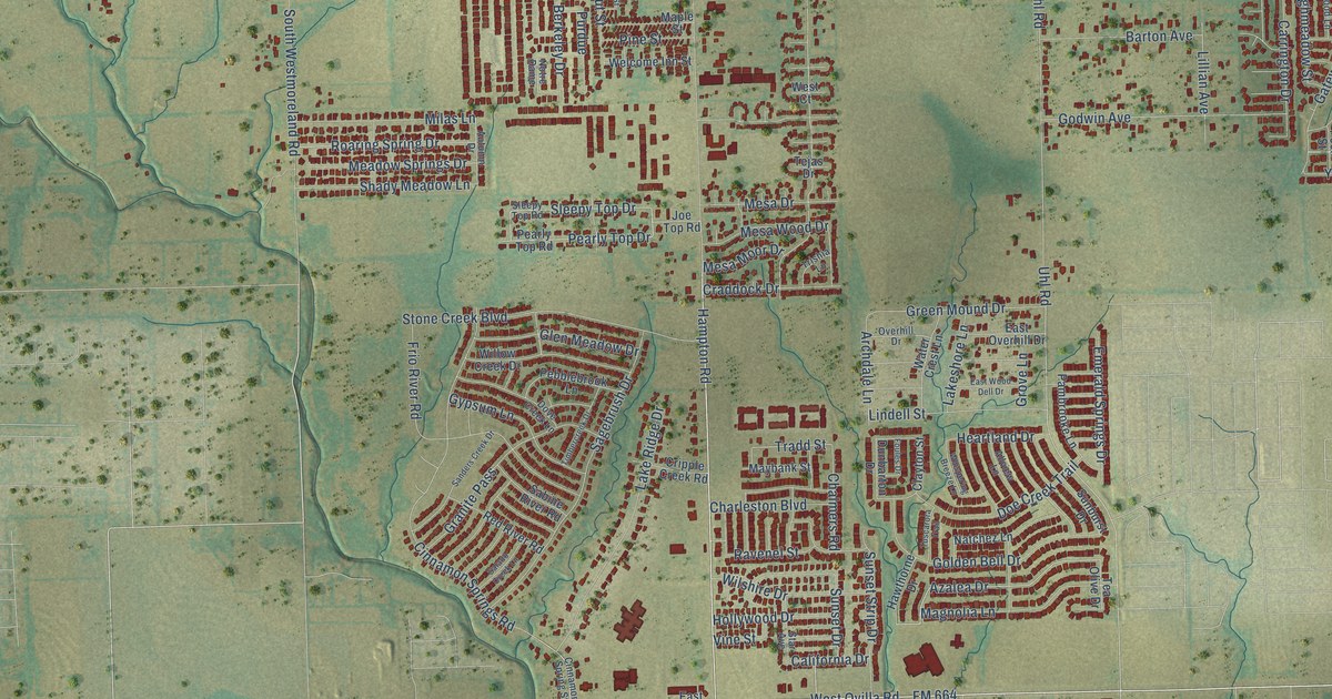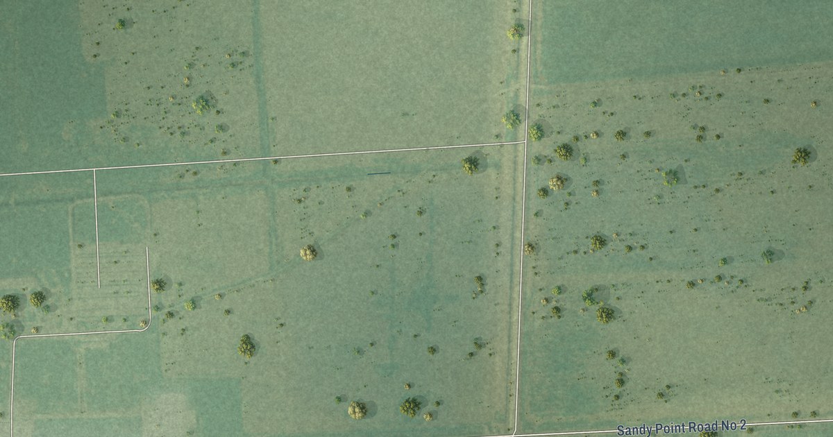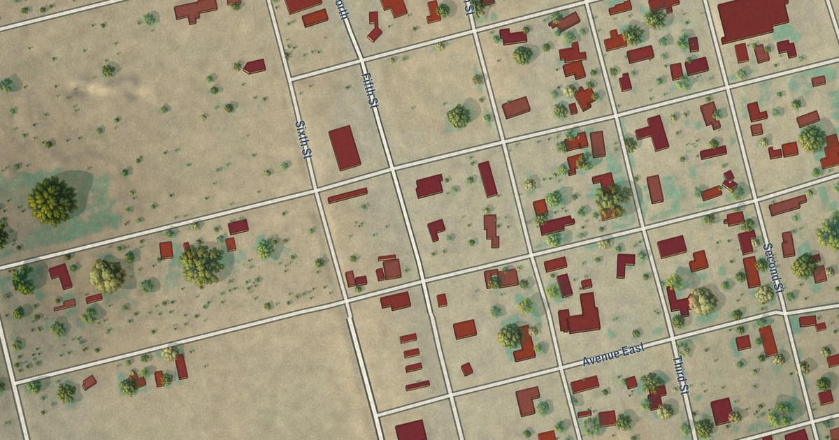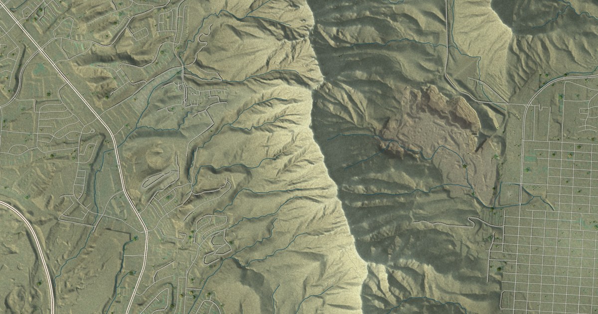
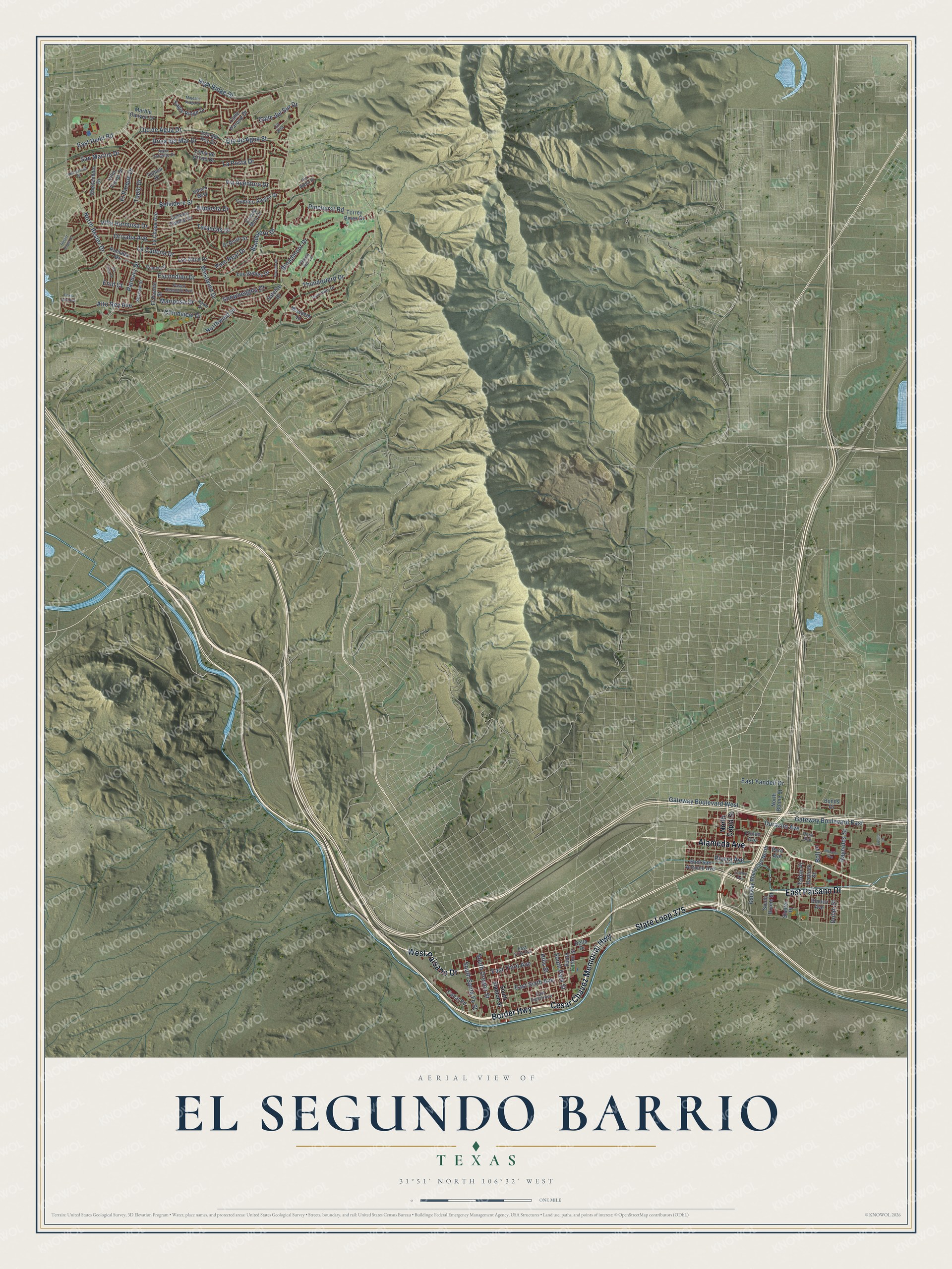
This beautifully detailed map of El Segundo Barrio, Texas was created in 2026 using aerial imagery combined with modern topographical, census, street and landmark data. It’s a one-of-a-kind view of El Segundo Barrio that combines accurate data with a vintage aesthetic. The map shows every building in its true location, many of the roads carry their names, and the shaded topographic relief shows the shape of the land.
Explore an aerial view of El Segundo Barrio, Texas
On the map you’ll find East Paisano Drive, Border Highway, Cesar Chavez Memorial Highway, State Loop 375, Alameda Avenue, West Paisano Drive, South Oregon Street, Gateway Boulevard East, East Sixth Avenue, Westwind Drive, North Resler Drive, Belvidere Street, and more. If you look closely you can even find your house accurately drawn in its correct location. Zoom in on the preview to look for yours.
Take a closer look at the El Segundo Barrio map
Names on this map
These names are printed on this map.
Streets and roads: East Paisano Drive, Border Highway, Cesar Chavez Memorial Highway, State Loop 375, Alameda Avenue, West Paisano Drive, South Oregon Street, Gateway Boulevard East, East Sixth Avenue, Westwind Drive, North Resler Drive, Belvidere Street.
More street names, A to Z
Agua Caliente Drive, Alberta Avenue, Alto Rey Avenue, Amposta Drive, Bandolero Drive, Blanco Avenue, Boll Place, Bonds Court, Brisa del Mar Drive, Broadmoor Drive, Calle del Sur Drive, Calle Parque Drive, Camino Alegre Drive, Camino Fuente Drive, Canal Road, Cheltenham Drive, Cherry Hill Lane, Cll Alta, Cloudview Drive, Cresta Mira Drive, Dawn Drive, Delta Drive, Desert Eagle Drive, Dolan Street, Durazno Avenue, Eagle Ridge Drive, East Eighth Avenue, East First Avenue, East Redd Road, East San Antonio Avenue, East Third Avenue, East Yandell Drive, El Parque Drive, El Puente Street, El Risco Street, Enid Court, Escondido Drive, Espada Drive, Euclid Street, Findley Avenue, Frutas Avenue, Gateway Boulevard North, Gateway Boulevard West, Granero Drive, Hadlock Street, Hempstead Drive, High Ridge Drive, Hills Street, Isla del Rey Drive, La Cadena Drive, La Chapa Avenue, La Posta Drive, Loma de Cristo Drive, Los Altos Drive, Los Robles Drive, Majestic Ridge Drive, Marble Canyon Drive, Mariposa Drive, North Boone Street, North Copia Street, Northwind Drive, Ojo de Agua Drive, Ojo de Agua Street, Orizaba Avenue, Palmary Drive, Paseo Redondo Avenue, Pera Avenue, Pinehurst Road, Pino Real Drive, Ramada Drive, Raynolds Street, Rio Tinto Drive, Rivera Avenue, Rosa Avenue, San Marino Drive, Satelite Drive, Shelter Place, Skyview Street, Snowheights Court, South Boone Street, South Cotton Street, South Park Street, South Santa Fe Street, South Stanton Street, Tarascas Drive, Tepic Drive, Thunderbird Drive, Tierra Alta Avenue, Tobin Place, Toluca Drive, Torrey Pines Drive, Twin Hills Drive, Vasco Way, Via Appia Street, Via Aventura Drive, Villa Flores Drive, Villa Hermosa Drive, Waseem Lane.
See it on a wall
The El Segundo Barrio map as a framed print. Swipe for more.


This beautifully detailed map of El Segundo Barrio makes an attractive addition to your office, library, or den, and it can even be used to teach children the geography and history of the area. It also makes a great gift for anyone with El Segundo Barrio roots. When you’re done exploring, click here to get your copy of the El Segundo Barrio map.