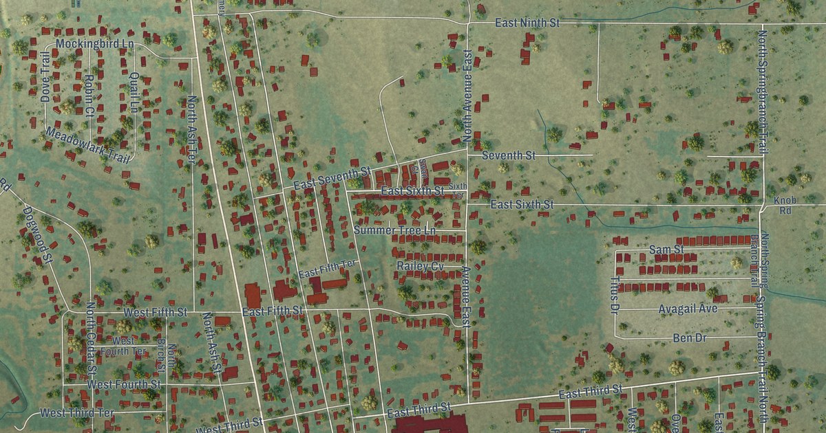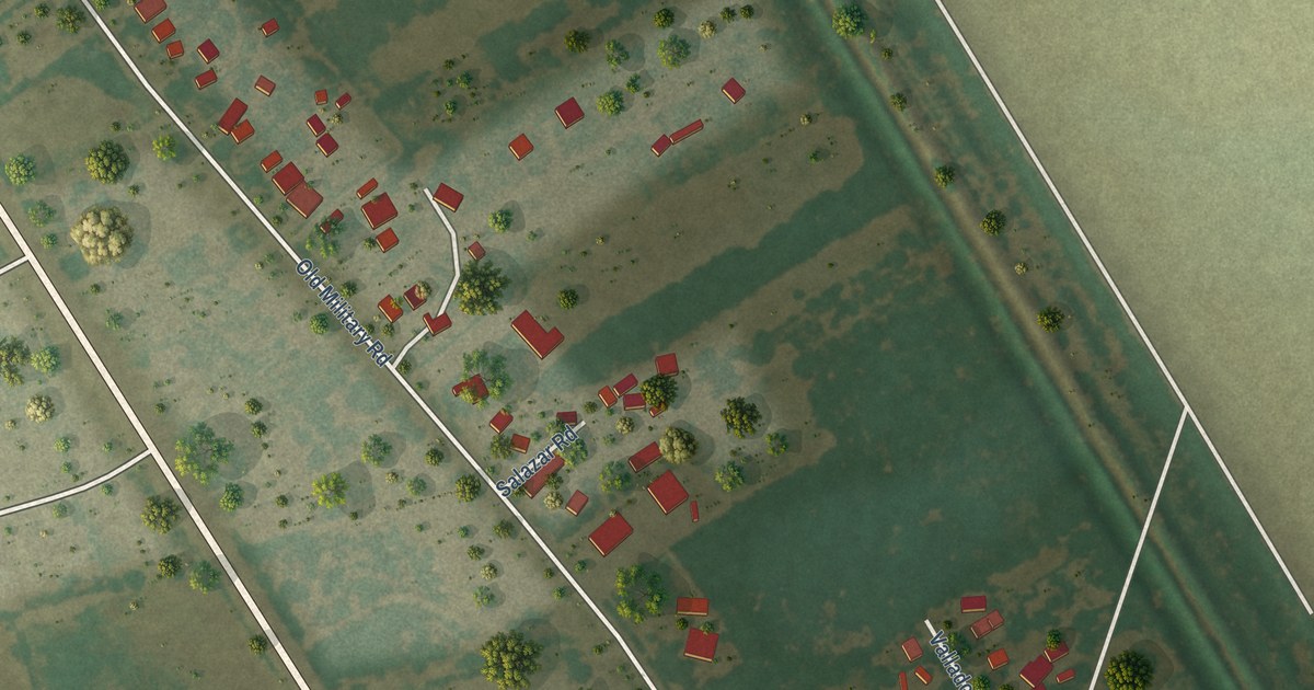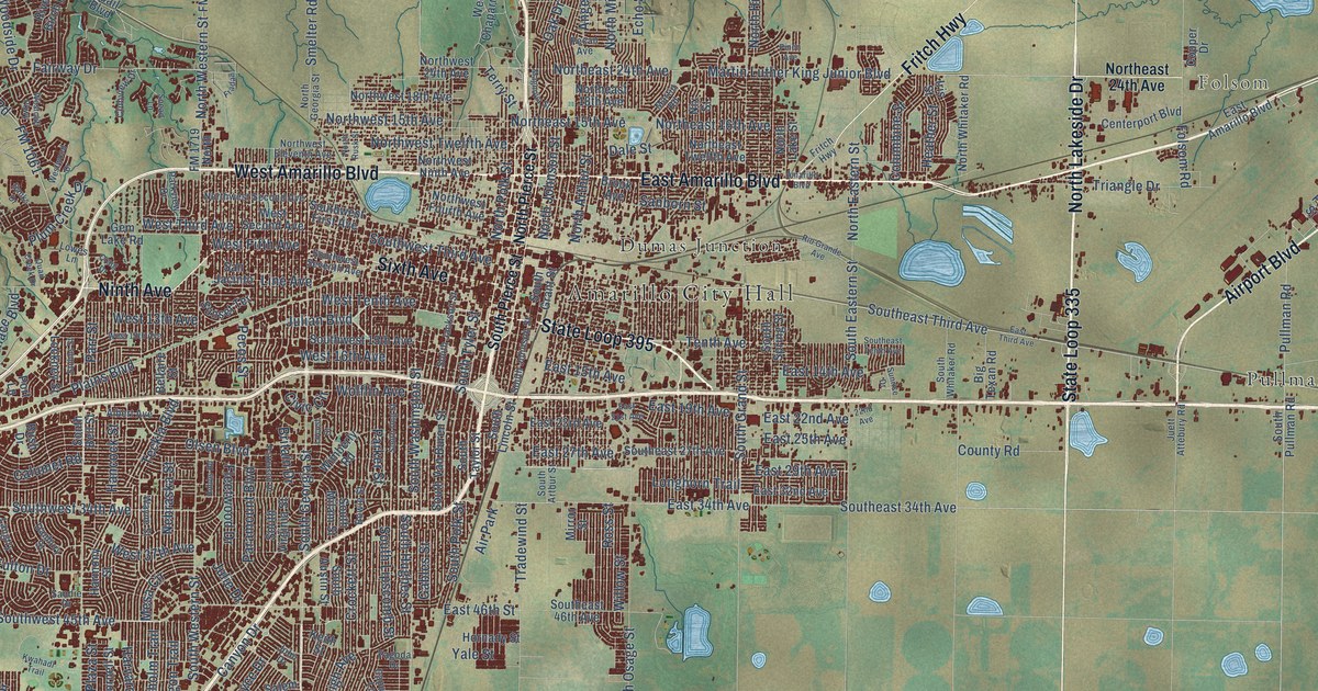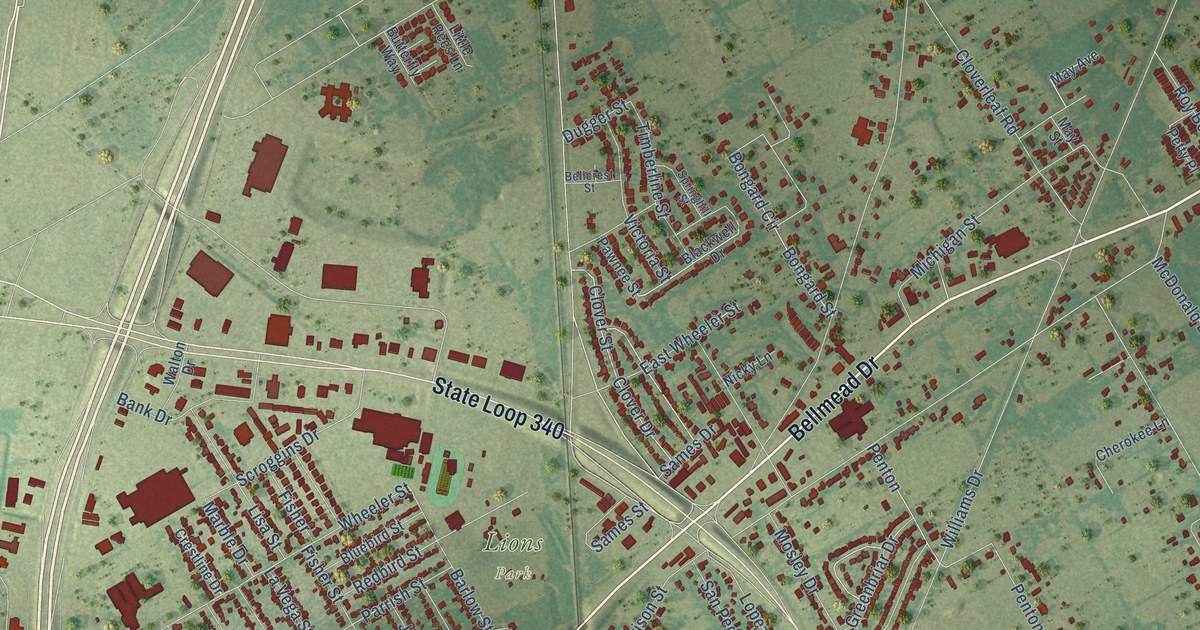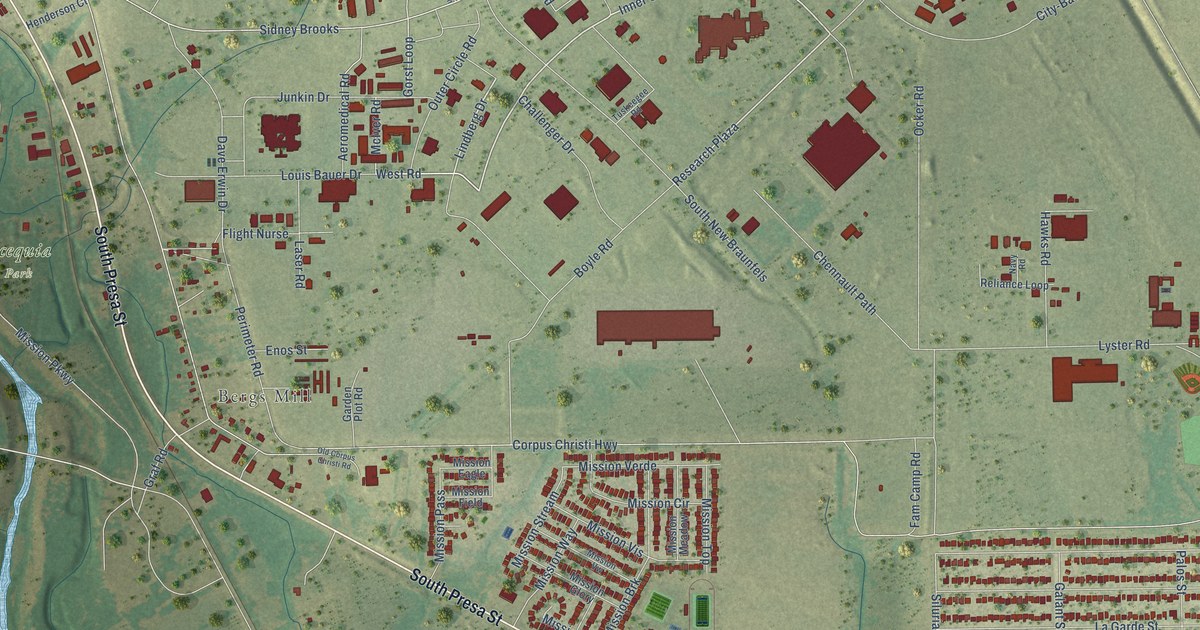
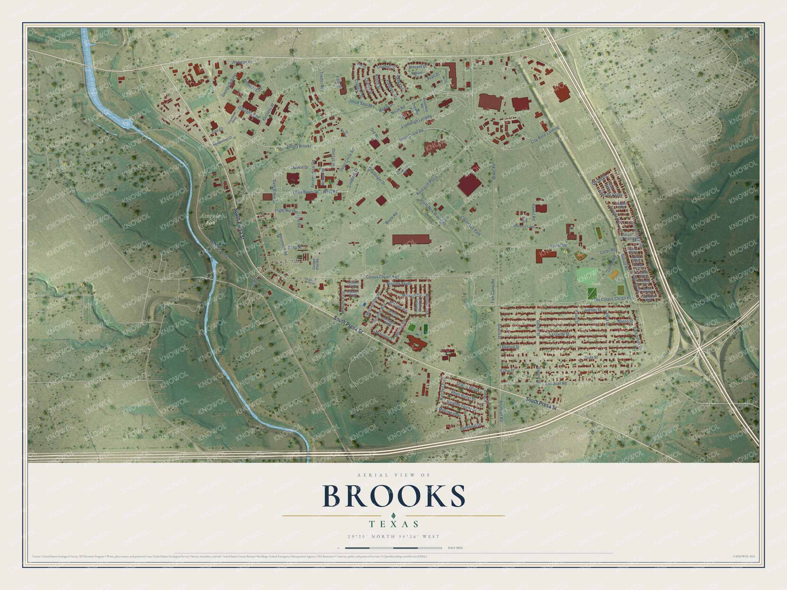
This beautifully detailed map of Brooks, Texas was created in 2026 using aerial imagery combined with modern topographical, census, street and landmark data. It’s a one-of-a-kind view of Brooks that combines accurate data with a vintage aesthetic. The map shows every building in its true location, many of the roads carry their names, and the shaded topographic relief shows the shape of the land.
Explore an aerial view of Brooks, Texas
On the map you’ll find Bergs Mill, Acequia Park, Brooks Park, City-Base Landing, Sidney Brooks, Research Plaza, and Apache Hill, along with South Presa Street, Inner Circle Road, West Road, Lindberg Drive, North Road, and more. If you look closely you can even find your house accurately drawn in its correct location. Zoom in on the preview to look for yours.
Take a closer look at the Brooks map
Names on this map
These names are printed on this map.
Places: Bergs Mill, Acequia Park and Brooks Park.
Streets and roads: South Presa Street, City-Base Landing, Inner Circle Road, Sidney Brooks, West Road, Research Plaza, Lindberg Drive, North Road, Apache Hill, Double Arrow, Gorst Loop, Arrowhead Path.
More street names, A to Z
Aeromedical Road, Apache Valley, Barkmeyer Street, Boyle Road, Calera Street, Challenger Drive, Chambers Parkway, Chaney Street, Chennault Path, Chesney Road, Claggett Street, Corpus Christi Highway, Dancing Horse, Dan Court, Dave Erwin Drive, Enos Street, Esma Street, Fam Camp Road, Fifth Street, First Street, Flight Nurse, Galant Street, Gallant Street, Garden Plot Road, George Schafer, Gillingham Drive, Gk Anderson, Goliad Road, Graf Road, Hawks Road, Henderson Court, Indian Forge, Jernigan Road, Josue Sanchez, Juniper Street, Junkin Drive, Kachina Mask, Kennedy Circle, Kennedy Hl, La Garde Street, Laser Road, Lebanon Street, Lemay Road, Lindbergh Landing, Lister Road, Lodge Pole, Louis Bauer Drive, Lyster Road, Margo Street, McIver Road, Meder Drive, Mendoza Street, Merriweather, Mission Brk, Mission Circle, Mission Court, Mission Eagle, Mission Field, Mission Glory, Mission Meadow, Mission Parkway, Mission Pass, Mission Stream, Mission Top, Mission Verde, Mission Vis, Mission Vw, Mission Way, Natchez Trail, Navajo Blanket, Navy Road, Ocker Road, Old Corpus Christi Highway, Old Corpus Christi Road, Ord Road, Outer Circle Road, Paeglow Street, Palos Street, Perimeter Road, Prairie Shield, Pratt Drive, Pueblo Clan, Reliance Loop, Rhett Butler Drive, Roadman Road, Royce Street, San Juan Road, Scarlet Ohara, Showboat Drive, Siluria Street, Skaggs Place, Sligo Street, South New Braunfels, Southton Road, Spotted Bear, Stephen Foster Drive, Suba Ridge, Tarleton, Ten Bears, Thornell Street, Tredici Road, Tuskeegee Road, Unger Road, Vincent Street, Vinsant Circle, Yuma Chief.
See it on a wall
The Brooks map as a framed print. Swipe for more.


This beautifully detailed map of Brooks makes an attractive addition to your office, library, or den, and it can even be used to teach children the geography and history of the area. It also makes a great gift for anyone who grew up in Brooks or moved away. When you’re done exploring, click here to get your copy of the Brooks map.