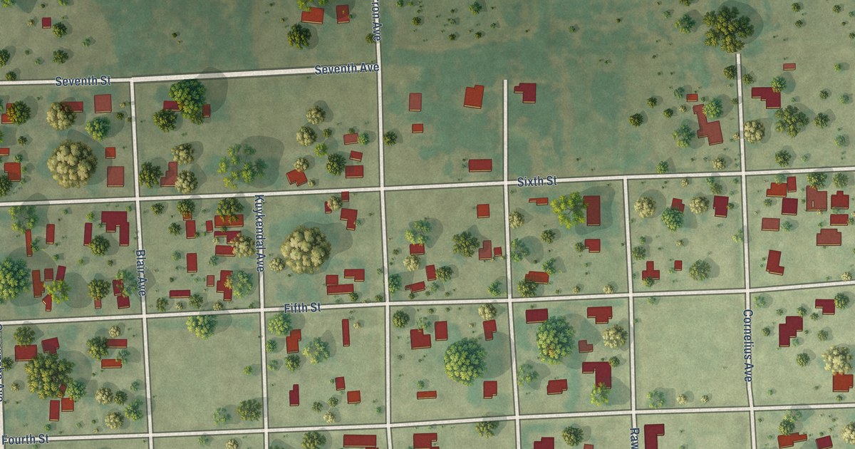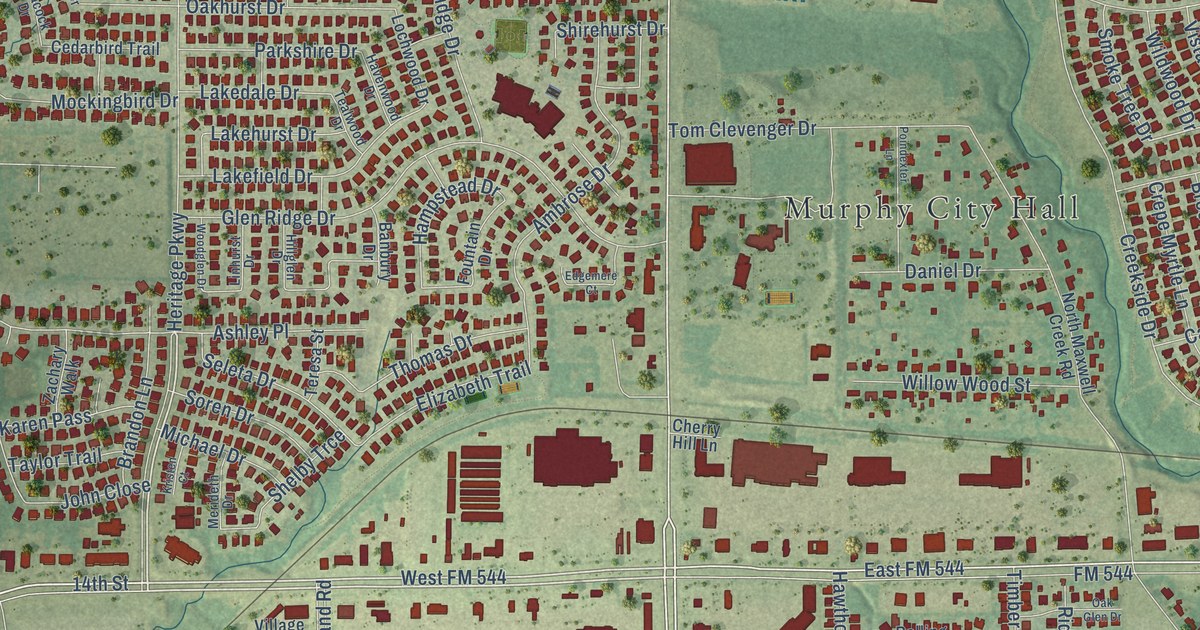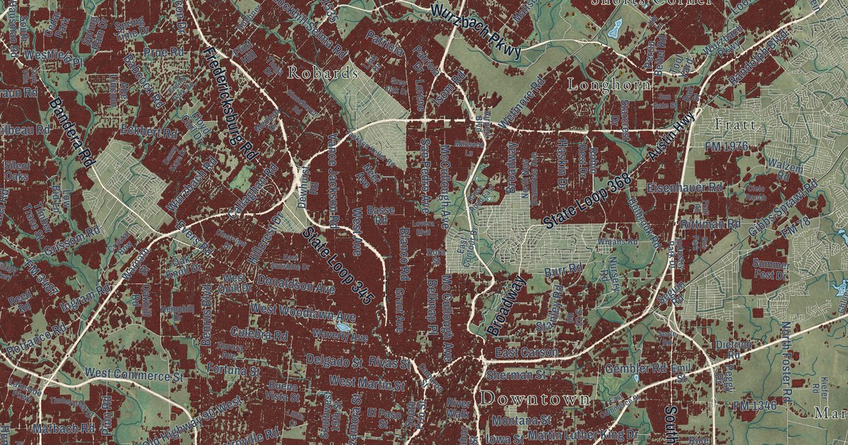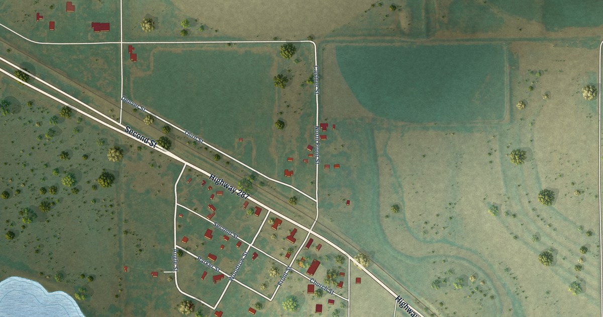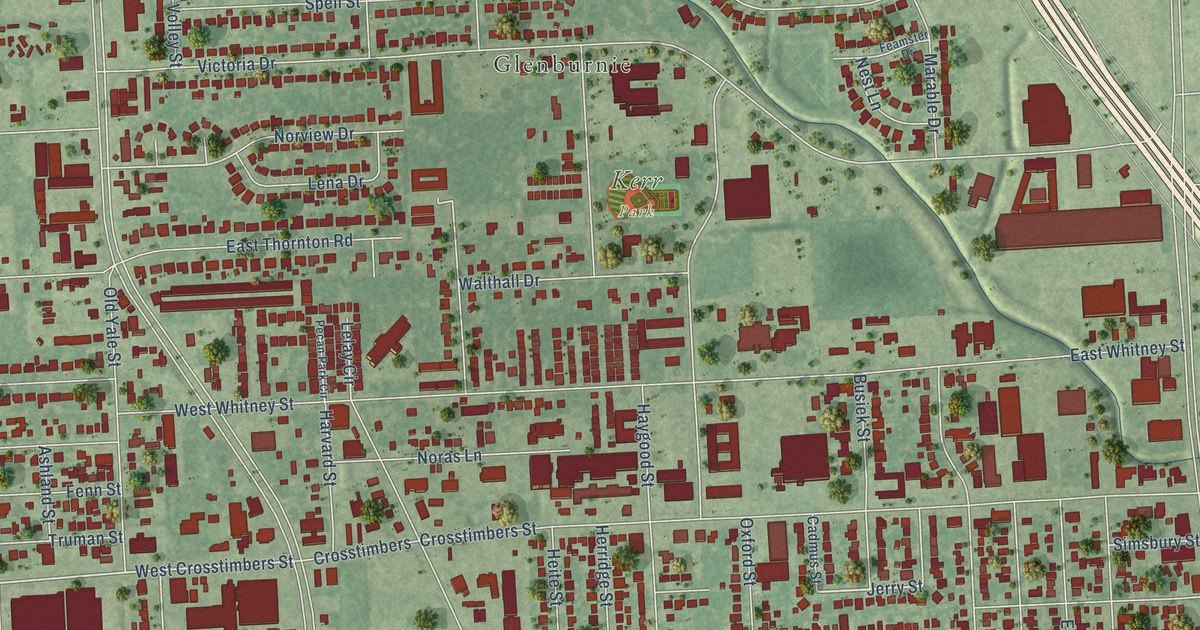
This beautifully detailed map of Independence Heights, Texas was created in 2026 using aerial imagery combined with modern topographical, census, street and landmark data. It’s a one-of-a-kind view of Independence Heights that combines accurate data with a vintage aesthetic. The map shows every building in its true location, many of the roads carry their names, and the shaded topographic relief shows the shape of the land.
Explore an aerial view of Independence Heights, Texas
On the map you’ll find Kerr Park and Glenburnie, along with Graceland Terrace, North Shepherd Drive, Norview Drive, East Tidwell Road, Jerry Street, West Crosstimbers Street, Brenner Street, Yale Street, Airline Drive, East 33rd Street, and more. If you look closely you can even find your house accurately drawn in its correct location. Zoom in on the preview to look for yours.
Take a closer look at the Independence Heights map
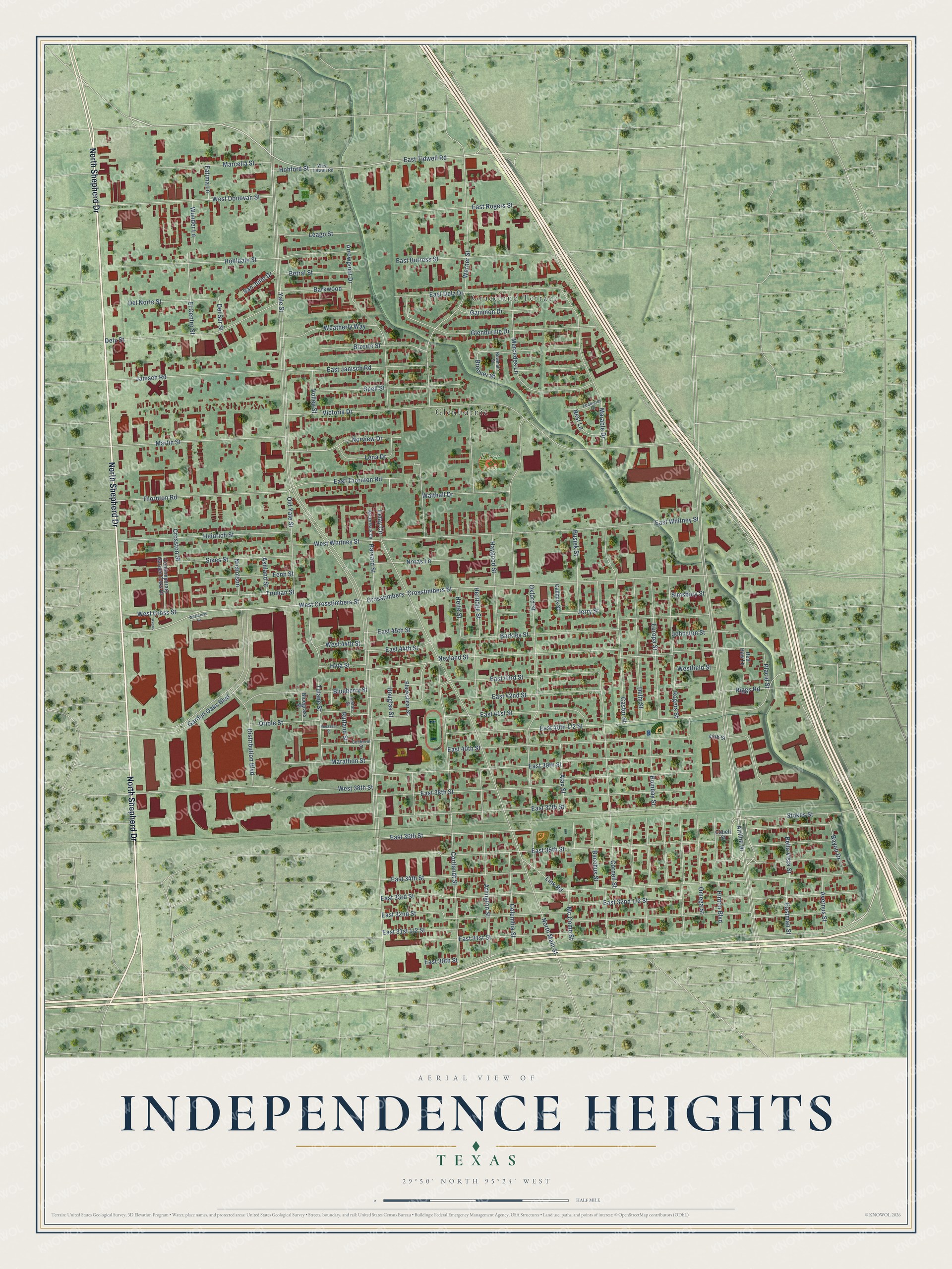
Names on this map
These names are printed on this map.
Places: Kerr Park, Graceland Terrace and Glenburnie.
Streets and roads: North Shepherd Drive, Norview Drive, East Tidwell Road, Jerry Street, West Crosstimbers Street, Brenner Street, Yale Street, Airline Drive, East 33rd Street, North Main Street, Oxford Street, Victoria Drive.
More street names, A to Z
40th Street, Ajax Street, Allston Street, Arlington Street, Arrowpoint Drive, Ashland Street, Avens, Avernus Street, Bacchus Street, Barkley Street, Barkwood, Bayou Drive, Bella Vista Street, Betral Street, Bizerte Street, Blackshear Street, Blueberry Street, Bluegrass Street, Bombay Street, Bowman Street, Busiek Street, Cabell Street, Cadmus Street, Castor Street, Cockerel Street, Columbia Street, Contemporary Garden Oaks Drive, Cornell Street, Cortlandt Street, Crosstimbers, Crosstimbers Street, Crosston Street, Delhi Street, Del Norte Street, Del Sur Street, Delz Street, Distribution Boulevard, Douglas Street, East 30th Street, East 31st Street, East 32nd Street, East 34th Street, East 35th Street, East 36th Street, East 37th Street, East 38th Street, East 39th Street, East 40th Street, East 41st Street, East 42nd Street, East 43rd Street, East 44th Street, East 45th Street, East Burress Street, East Delz Drive, East Janisch Road, Eastman Street, East Rogers Street, East Thornton Road, East Whitney Street, El Centro Street, Europa Street, Fatima Lane, Feamster Drive, Fenn Street, Gammon Drive, Garden Oaks Boulevard, Glenburnie Drive, Harvard Street, Haygood Street, Heidrich Street, Heite Street, Herridge Street, Hinton Boulevard, Hohford Street, Hohldale Street, Hyta Street, Janisch Road, Johnston Street, Leago Street, Lelay Circle, Lena Drive, Link Road, Marable Drive, Marathon Street, Marcella Street, Martin Street, Mc Comb Street, Mercedes Lane, Nest Lane, Neyland Street, Nicholson, Noras Lane, Old Yale Street, Omega Street, Oriole Street, Pecan Park Circle, Pheasant Street, Placid Street, Red Haw Lane, Riggs Road, Rogers Street, Rutland Street, San Julio Drive, Sikes Street, Simsbury Street, Spell Street, Stokes Street, Thornton Road, Truman Street, Tulane Street, Volley Street, Walthall Drive, Weatherly Way, Werner Street, West 38th Street, West 44th Street, West Cross Street, Westcross Street, West Donovan Street, Westfield Street, West Tidwell Road, West Whitney Street, Wunder Lane.
See it on a wall
The Independence Heights map as a framed print. Swipe for more.


This beautifully detailed map of Independence Heights makes an attractive addition to your office, library, or den, and it can even be used to teach children the geography and history of the area. It also makes a great gift for anyone who grew up in Independence Heights or moved away. When you’re done exploring, click here to get your copy of the Independence Heights map.