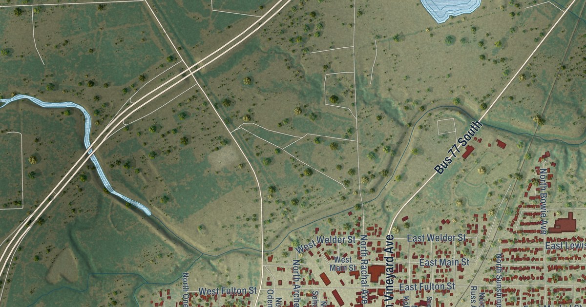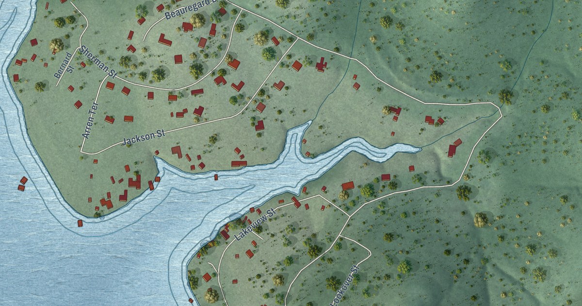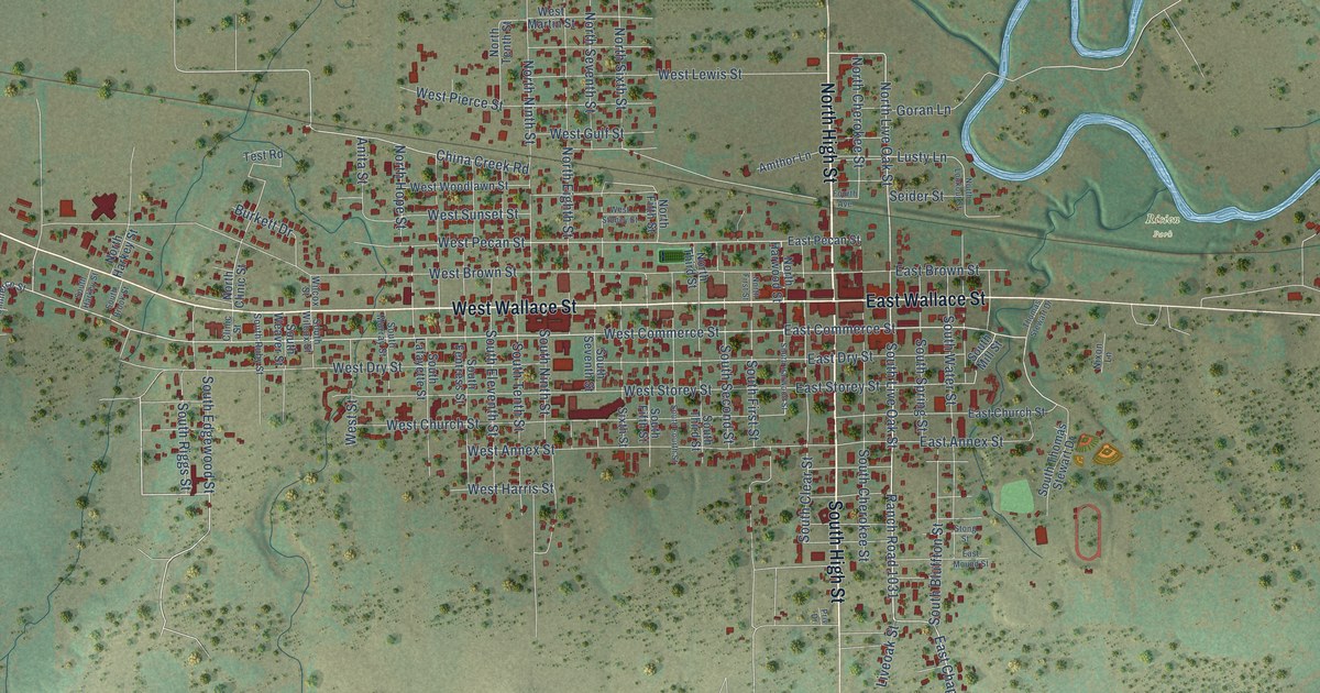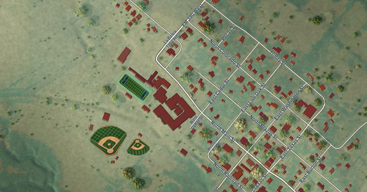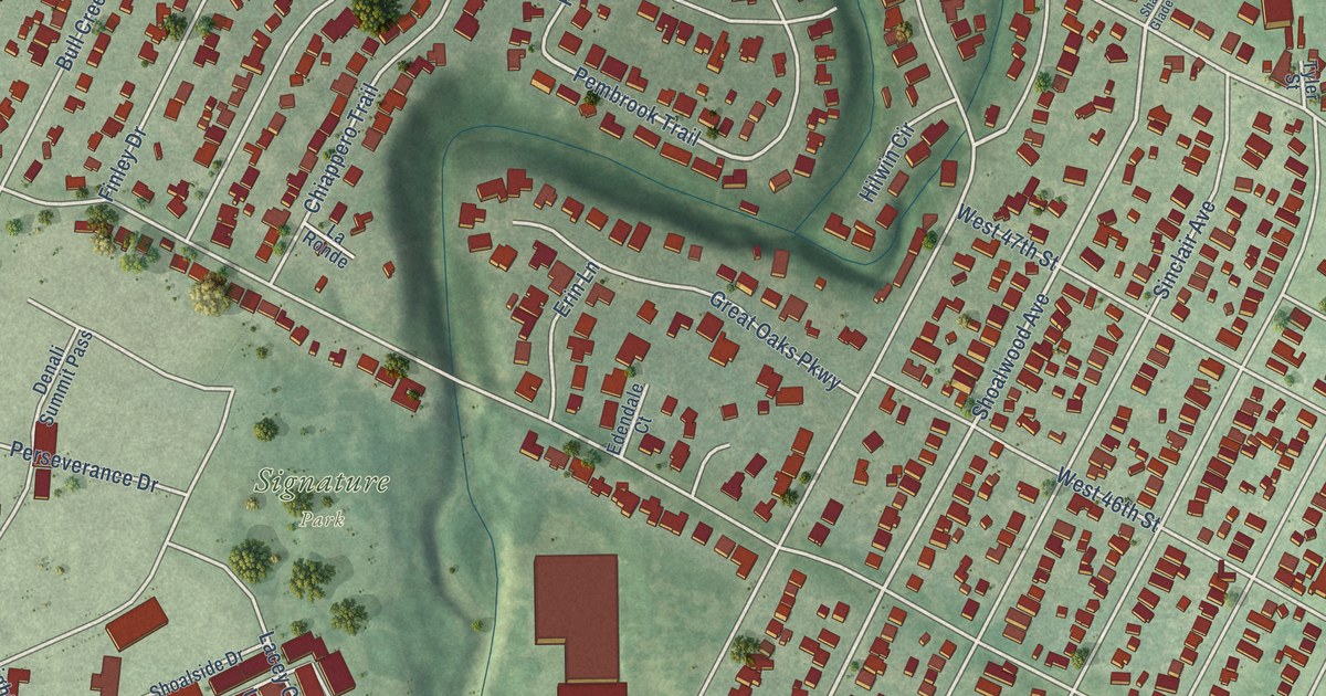
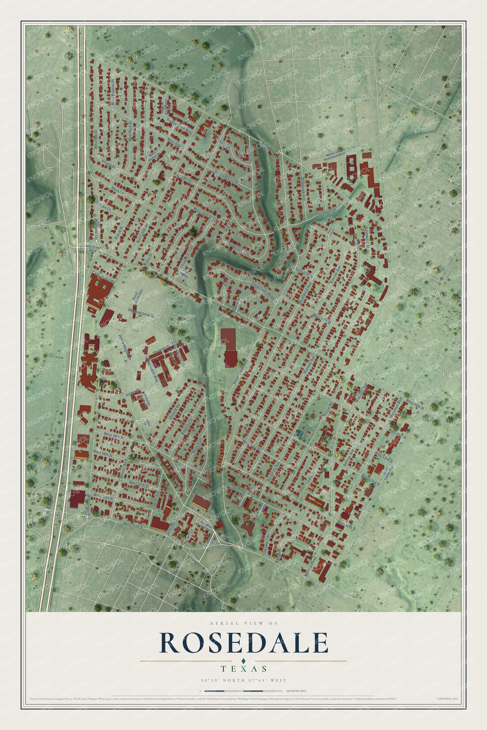
This beautifully detailed map of Rosedale, Texas was created in 2026 using aerial imagery combined with modern topographical, census, street and landmark data. It’s a one-of-a-kind view of Rosedale that combines accurate data with a vintage aesthetic. The map shows every building in its true location, many of the roads carry their names, and the shaded topographic relief shows the shape of the land.
Explore an aerial view of Rosedale, Texas
On the map you’ll find Signature Park, along with Highland Terrace, West 38th Street, Shoal Creek Boulevard, Pembrook Trail, Shoalwood Avenue, Bull Creek Road, West 45th Street, Hancock Drive, Jackson Avenue, West 49th Street, Ramsey Avenue, and more. If you look closely you can even find your house accurately drawn in its correct location. Zoom in on the preview to look for yours.
Take a closer look at the Rosedale map
Names on this map
These names are printed on this map.
Places: Signature Park.
Streets and roads: Highland Terrace, West 38th Street, Shoal Creek Boulevard, Pembrook Trail, Shoalwood Avenue, Bull Creek Road, West 45th Street, Hancock Drive, Jackson Avenue, West 49th Street, Ramsey Avenue, Sinclair Avenue.
More street names, A to Z
45th Street West, Arches Drive, Bailey Lane, Bellvue Avenue, Burnet Road, Camp Mabry Road, Chiappero Trail, Crawford Avenue, Crestmont Drive, Denali Summit Pass, Edendale Court, Emilie Lane, Erin Lane, Fable Lane, Finley Drive, Fiset Drive, Fresco Drive North, Fresco Drive West, Great Oaks Parkway, Hilwin Circle, Idlewild Road, Independent Way, Jefferson Street, Jessie Heights Drive, Kerbey Lane, Lacey Cup Drive, La Ronde, Lawton Avenue, Lewis Lane, Lynnwood Street, Marathon Boulevard, Maybelle Avenue, McKinley Fields Drive, Medical Parkway, North Lamar Boulevard, North Loop Boulevard West, Oakmont Boulevard, Old West 38th Street, Perry Lane, Perseverance Drive, Peterson Avenue, Petes Path, Placid Place, Ridgelea Drive, Rosedale Avenue, Rue Street, Seiders Avenue, Shady Glade Court, Shoalside Drive, Strass Drive, Terrain Lane, Tonkawa Trail, Tyler Street, Unity Circle, Village Drive, West 35th Street, West 36th Street, West 37th Street, West 39th Street, West 40th Street, West 41st Street, West 42nd Street, West 43rd Street, West 44th Street, West 46th Street, West 47th Street, West 48th Street, West 50th Street, Westfield Drive, West Frances Place, West Market Drive, West Park Drive, Woodview Avenue.
See it on a wall
The Rosedale map as a framed print. Swipe for more.


This beautifully detailed map of Rosedale makes an attractive addition to your office, library, or den, and it can even be used to teach children the geography and history of the area. It also makes a great gift for anyone with Rosedale roots. When you’re done exploring, click here to get your copy of the Rosedale map.