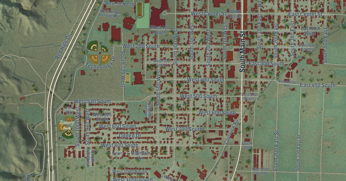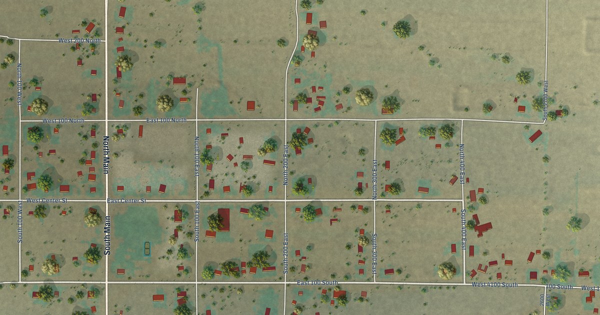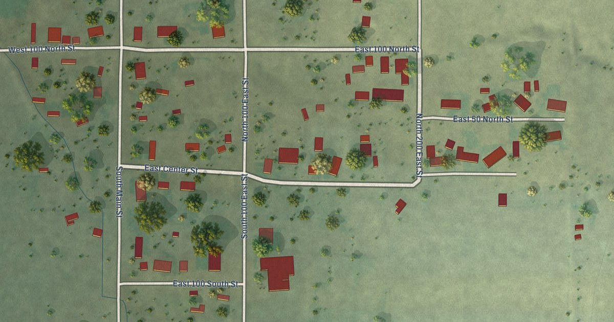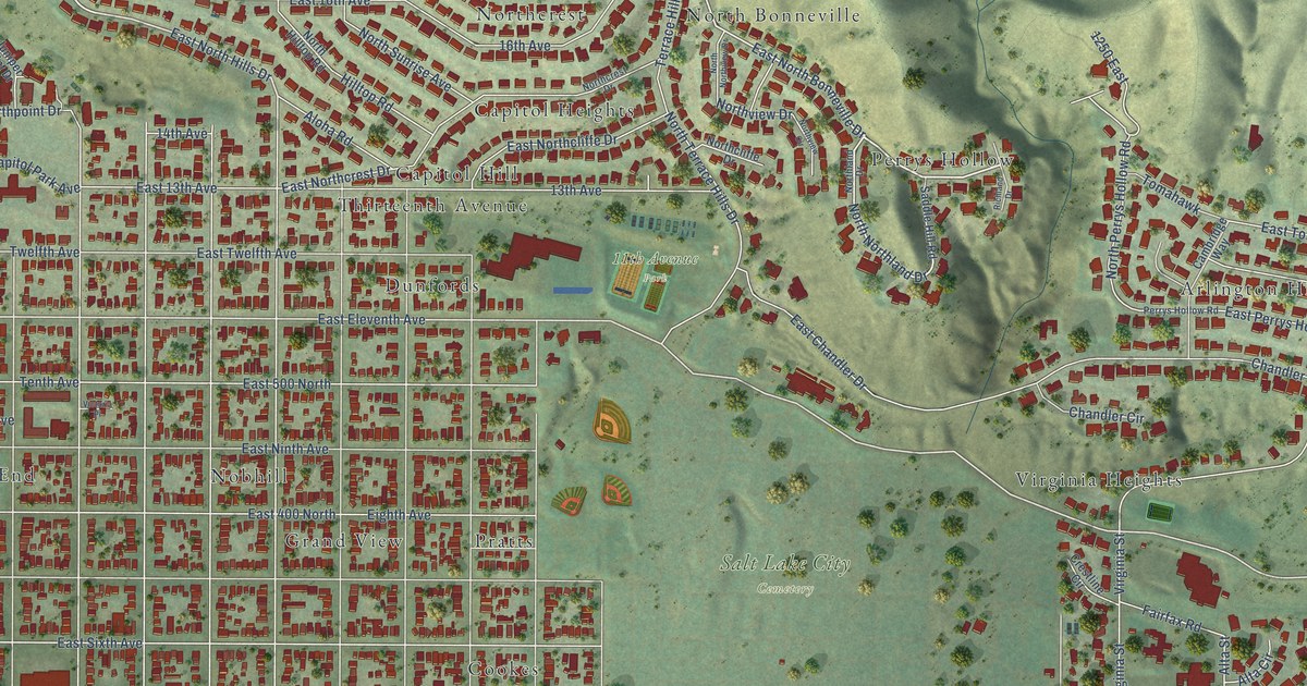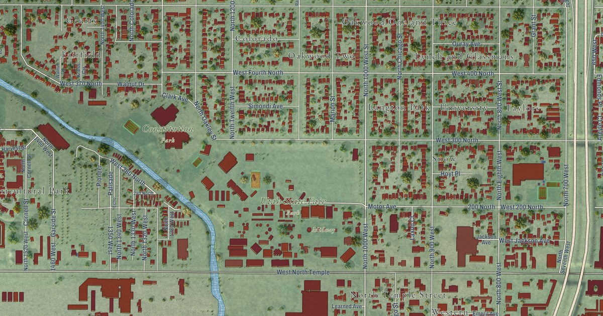
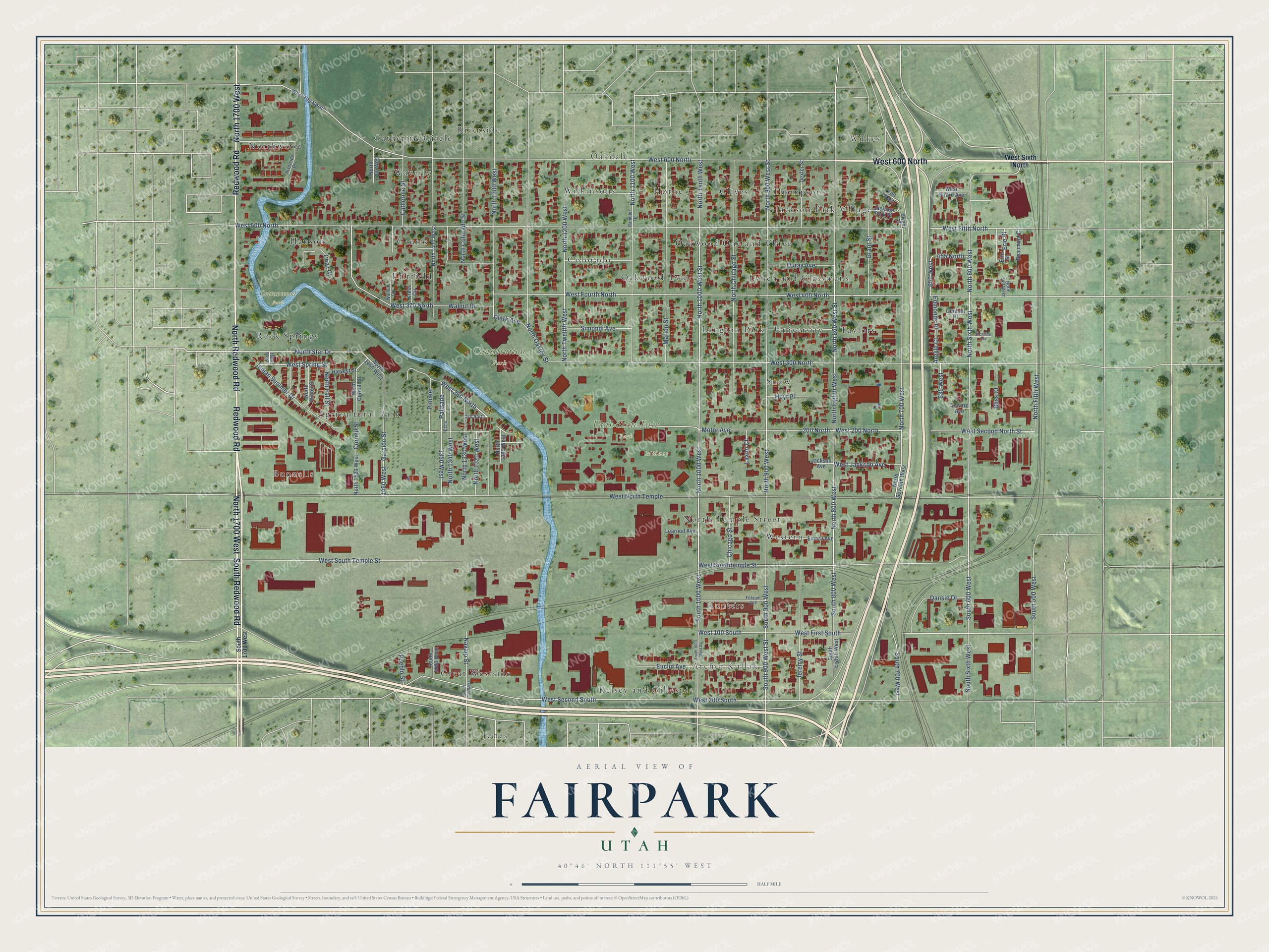
This beautifully detailed map of Fairpark, Utah was created in 2026 using aerial imagery combined with modern topographical, census, street and landmark data. It’s a one-of-a-kind view of Fairpark that combines accurate data with a vintage aesthetic. The map shows every building in its true location, many of the roads carry their names, and the shaded topographic relief shows the shape of the land.
Explore an aerial view of Fairpark, Utah
On the map you’ll find Constitution Park, Cottonwood Park, Utah State Fair Park, Midway, Wilkes, Jones, Riverside, Archer Kullak, Bunnells, Taylors, Northwood, Snow, and more. If you look closely you can even find your house accurately drawn in its correct location. Zoom in on the preview to look for yours.
Take a closer look at the Fairpark map
Names on this map
These names are printed on this map.
Places: Constitution Park, Cottonwood Park, Utah State Fair Park, Midway, Wilkes, Jones, Riverside, Archer Kullak, Bunnells, Taylors, Northwood, Snow, Clives, Kelsey and Gillespie, Agricultural Park, Colorado, Hanson, Waverly, Hunters, Geurts, Oakdale, Western, Oakwood One and Three, Jackson Park Village, Wilkinsons, Thompsons, University, Catherine Circle, Fairfield, Great Westside, Rock Springs, Langton Park, Oakwood Two, Lynch and Glassmans, Horne and North Temple Street.
Streets and roads: North Redwood Road, West 600 North, North 1700 West, Redwood Road, South Redwood Road, North Star Drive, North 1000 West, North 1000 West Street, North Tenth West, North 700 West, North Sixth West, North 1300 West.
More street names, A to Z
200 North, 240 North, 455 North, 635 West, 650 West, 700 West, 1350 West, 1460 West, 1650 West, Argyle Court, Beaumont Court, Bliss Court, Bright Court, Catherine Street, Chaz Court, Chicago Street, Clark Avenue, Cornell Street, Dansie Drive, Dexter Street, Echo, Edmonds Place, Emeril Avenue, Erie Place, Erie Street, Euclid Avenue, Folsom Avenue, Garside Street, Grant Street, Gunnell Place, Harvest Street, Hoyt Place, Indian Summer Drive, Jackson Avenue, Jackson Park Place, Jeremy Street, Kress Circle, Laxon Court, Learned Avenue, Marion Street, Motor Avenue, Navajo Street, North 540 West, North 600 West, North 800 West, North 800 West Street, North 900 West, North 900 West Street, North 1100 West, North 1200 West, North 1280 West, North 1320 West, North 1330 West, North 1340 West, North 1400 West, North 1460 West, North 1500 West, North 1520 West, North Chicago Street, North Colorado Street, North Cornell Street, North Eighth West, North Fall Street, North Fifth West, North Oakley Street, North Seventh West, North Twelfth West, North Winter Street, Ouray Avenue, Palisade, Pioneer, Pueblo Street, Rambler Drive, Riverside Drive, Seward Avenue, Shortline Avenue, Simondi Avenue, South 500 West, South 600 West, South 700 West, South 800 West, South 900 West, South 900 West Street, South 1000 West, South 1000 West Street, South 1335 West, South 1400 West, South 1700 West, South Eighth West, South Sixth West, Walnut Circle, Walnut Drive, West 100 South, West 200 North, West 200 South, West 260 North, West 300 North, West 370 North, West 400 North, West 500 North, West 700 North, West Fifth North, West First South, West Fourth North, West Girard Avenue, West Jackson Avenue, West North Temple, West Second North Street, West Second South, West Sixth North, West Southtemple Street, West South Temple Street, West Spring Street.
See it on a wall
The Fairpark map as a framed print. Swipe for more.


This beautifully detailed map of Fairpark makes an attractive addition to your office, library, or den, and it can even be used to teach children the geography and history of the area. It also makes a great gift for someone who left Fairpark and still calls it home. When you’re done exploring, click here to get your copy of the Fairpark map.