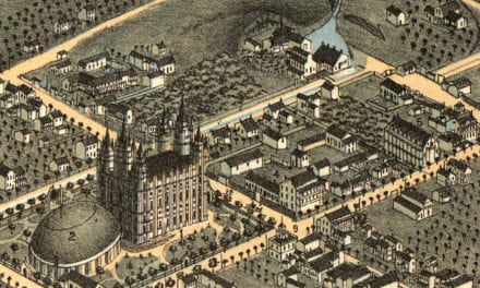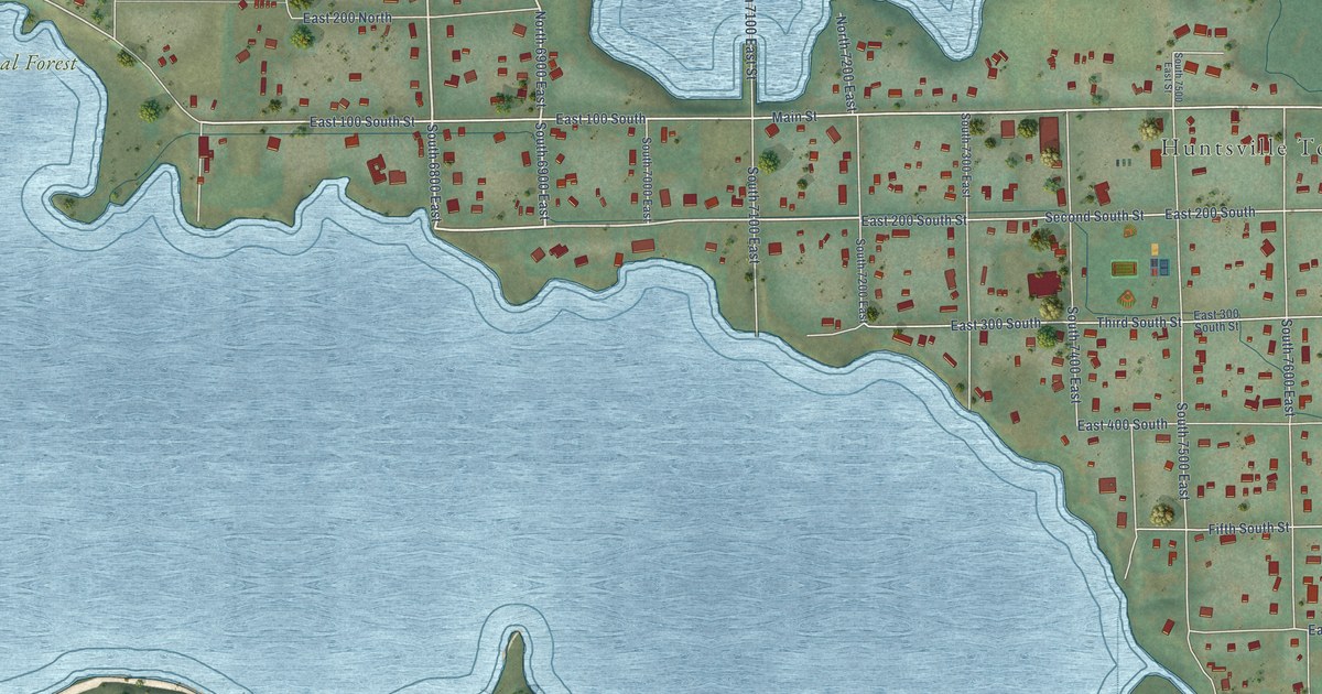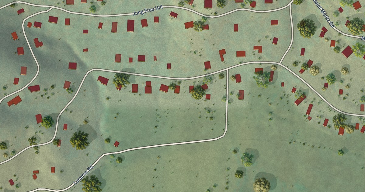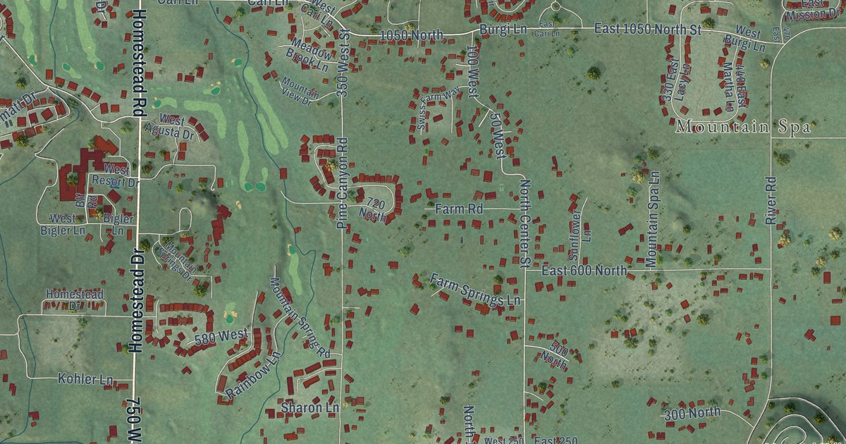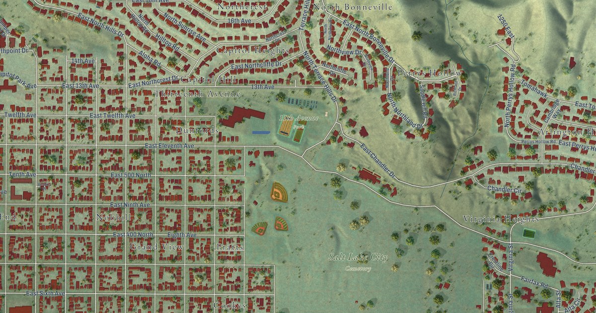
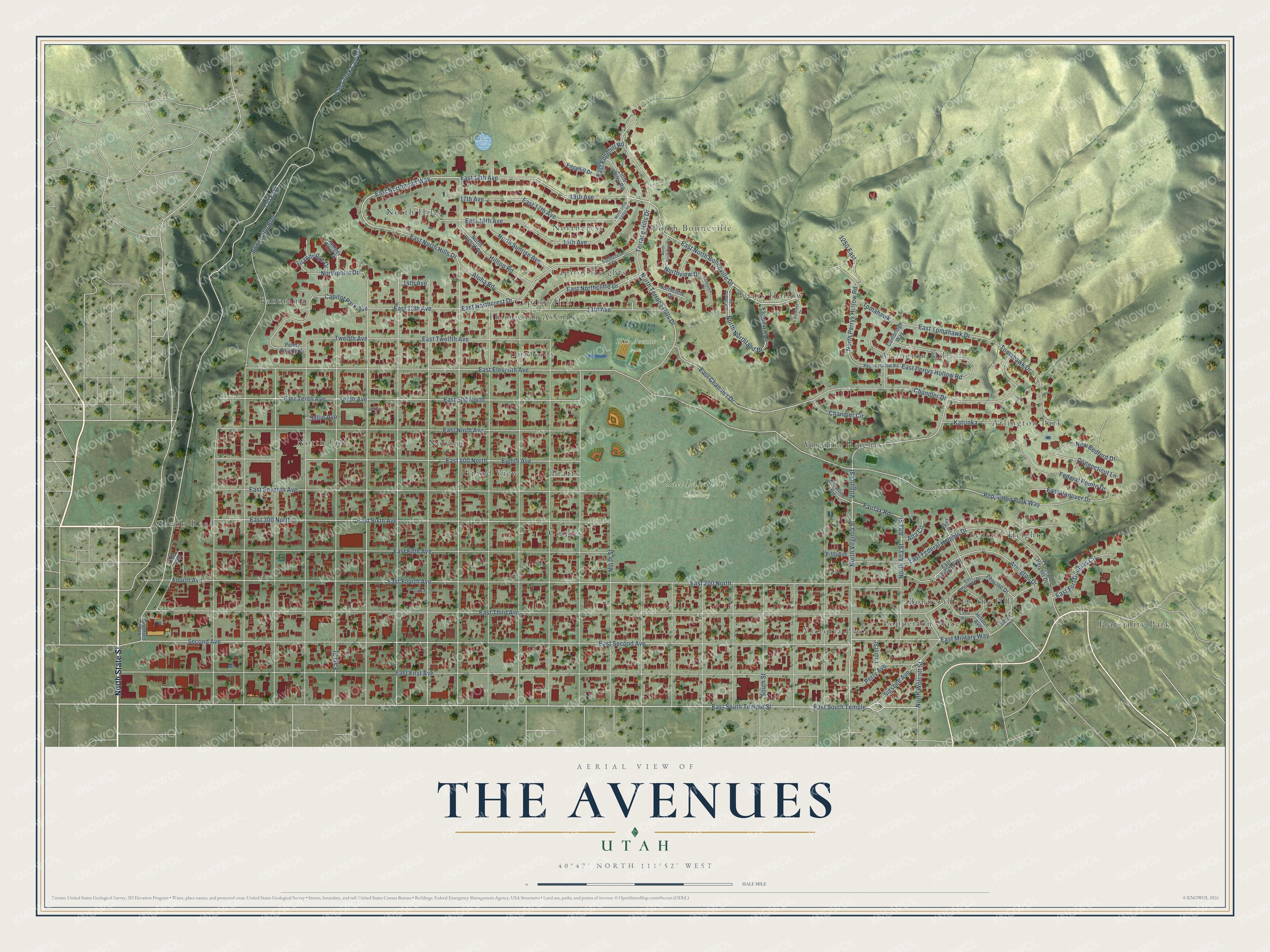
This beautifully detailed map of The Avenues, Utah was created in 2026 using aerial imagery combined with modern topographical, census, street and landmark data. It’s a one-of-a-kind view of The Avenues that combines accurate data with a vintage aesthetic. The map shows every building in its true location, many of the roads carry their names, and the shaded topographic relief shows the shape of the land.
Explore an aerial view of The Avenues, Utah
On the map you’ll find 11th Avenue Park, Salt Lake City Cemetery, Arlington Hills, Panorama, Fraternity Park, North End, Cookes, Northcrest, Victoria Place, North Hills, and Virginia Heights, along with Canon Road, and more. If you look closely you can even find your house accurately drawn in its correct location. Zoom in on the preview to look for yours.
Take a closer look at The Avenues map
Names on this map
These names are printed on this map.
Places: 11th Avenue Park, Salt Lake City Cemetery, Canon Road, Arlington Hills, Panorama, Fraternity Park, North End, Cookes, Northcrest, Victoria Place, North Hills, Virginia Heights, Dunfords, North Bonneville, Bonneville on the Hill, Pratts, Federal-Heights, Nobhill, Arlington Park, Perrys Hollow, Capitol Heights, Thirteenth Avenue, Popperton Place, Grand View and Capitol Hill.
Streets and roads: North State Street, East South Temple Street, East 18th Avenue, East North Bonneville Drive, East Northmont Way, East North Hills Drive, East South Temple, North Northland Drive, East Eleventh Avenue, North Virginia Street, North Wolcott Street, Popperton Park Way.
More street names, A to Z
13th Avenue, 14th Avenue, 16th Avenue, 17th Avenue, 18th Avenue, 120 East, 130 East, 1250 East, Aloha Road, Alta Circle, Alta Street, Arlington Drive, Bonneville Boulevard, Cambridge Way, Capitol Park Avenue, Chandler Circle, Chandler Drive, Circle Way, City Creek Canyon, Connecticut Lane, Crestline Circle, East 13th Avenue, East 16th Avenue, East 17th Avenue, East 200 North, East 300 North, East 400 North, East 500 North, East Arlington Drive, East Chandler Drive, East Edgehill Road, East Federal Heights Drive, East Fifth Avenue, East First Avenue, East Fort Douglas Circle, East Fourth Avenue, East Hanover Drive, East Military Way, East Ninth Avenue, East Northcliffe Drive, East Northcrest Drive, East Penrose Drive, East Perrys Hollow Road, East Second Avenue, East Seventh Avenue, East Sixth Avenue, East Street, East Tenth Avenue, East Third Avenue, East Tomahawk Drive, East Twelfth Avenue, Edgehill Drive, Eighth Avenue, Fairfax Circle, Fairfax Road, Federal Heights Drive, Federal Pointe Drive, Fifth Avenue, Fourth Avenue, Grandridge Drive, Hilldon Avenue, Hilltop Road, Isom Place, Juniper Point Drive, Katrinka, Laurel Street, Little Valley Road, Military Way, New Bedford Drive, North Alta Street, North Canyon Road, Northcliffe Drive, Northcrest Drive, North Hilltop Road, Northland Drive, North Little Valley Road, North Northview Drive, North Perrys Hollow Road, Northpoint Drive, North Street, North Sunrise Avenue, North Terrace Hills Drive, Northview Circle, Northview Drive, Penny Parade Drive, Penrose Drive, Perry Avenue, Perrys Hollow Road, Richland Drive, Saddle Hill Road, Sallie Avenue, Second Avenue, Sigsbee Avenue, South Street, Tenth Avenue, Terrace Hills Drive, Tomahawk, Tomahawk Drive, Twelfth Avenue, Virginia Street.
See it on a wall
The The Avenues map as a framed print. Swipe for more.


This beautifully detailed map of The Avenues makes an attractive addition to your office, library, or den, and it can even be used to teach children the geography and history of the area. It also makes a great gift for anyone who grew up in The Avenues or moved away. When you’re done exploring, click here to get your copy of The Avenues map.