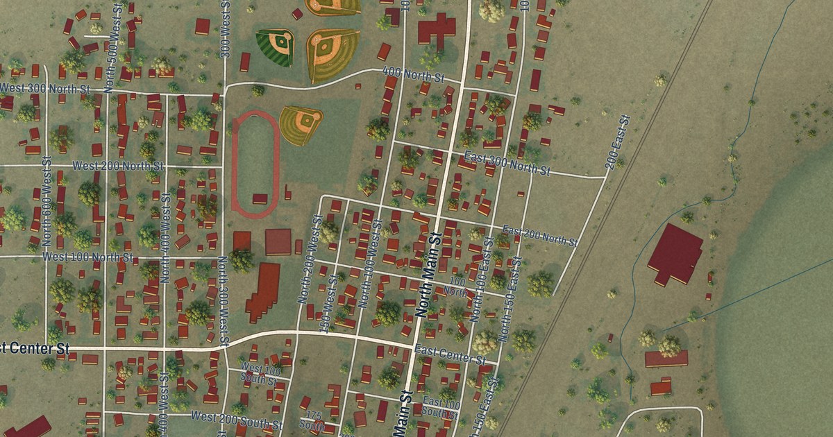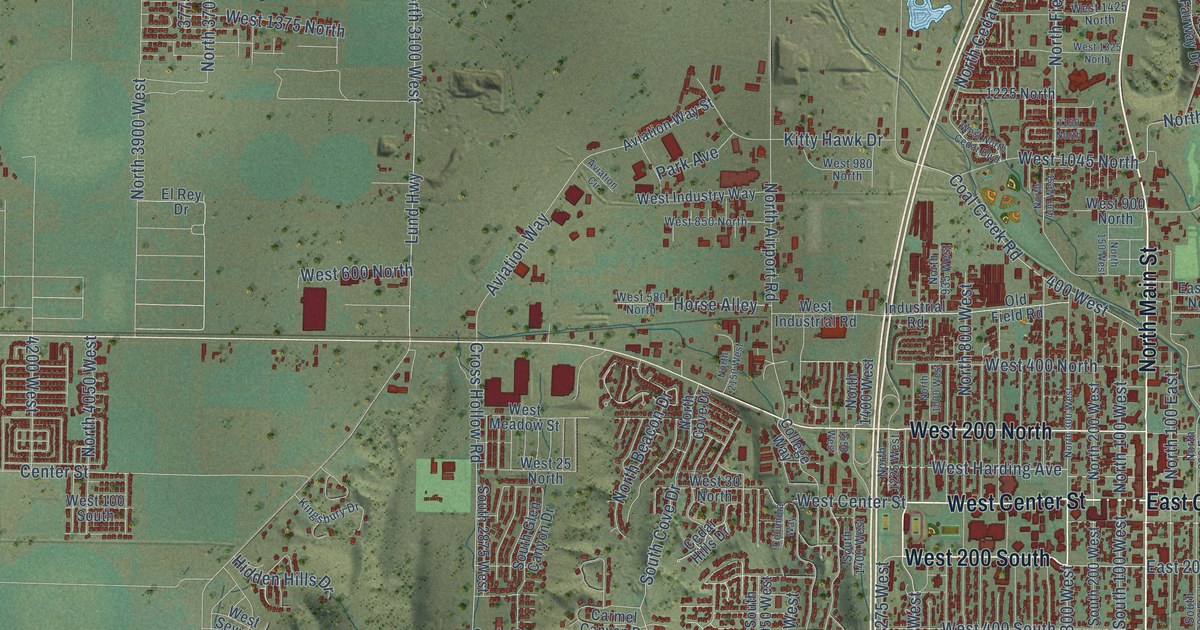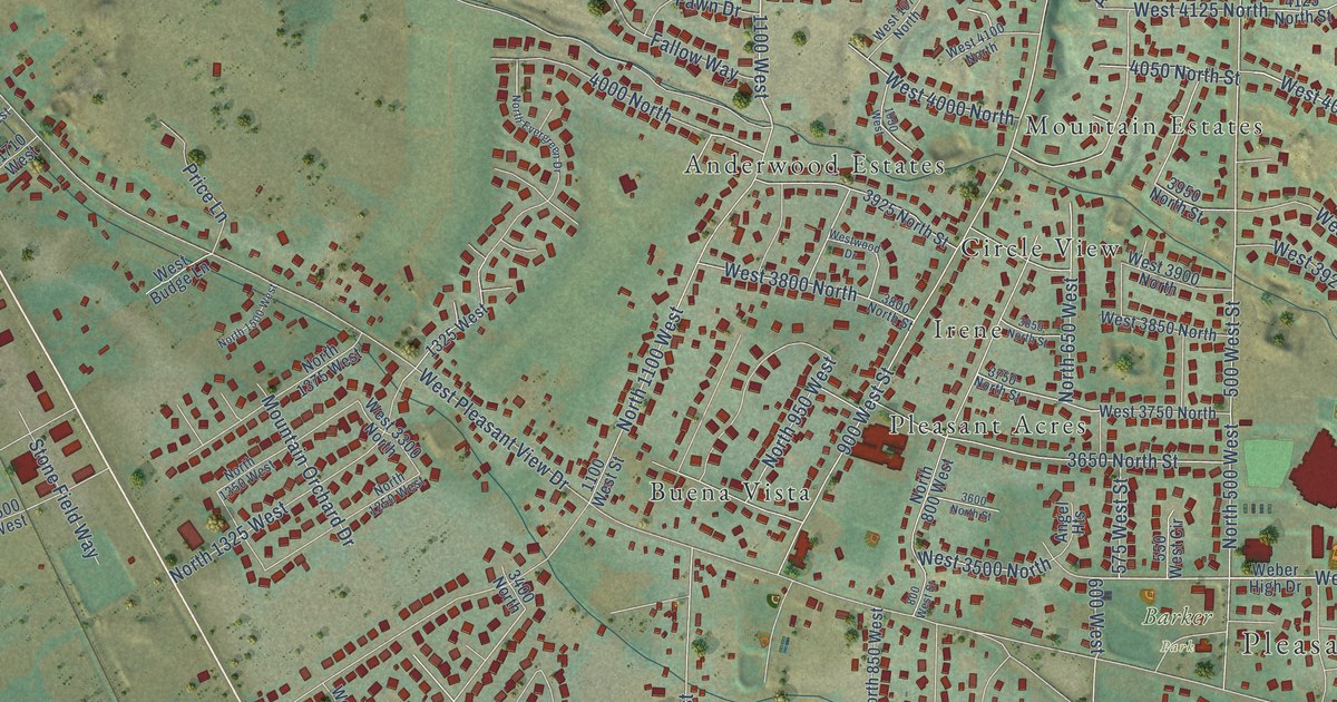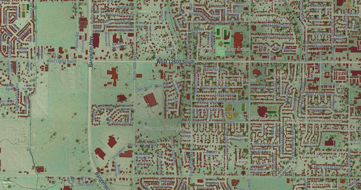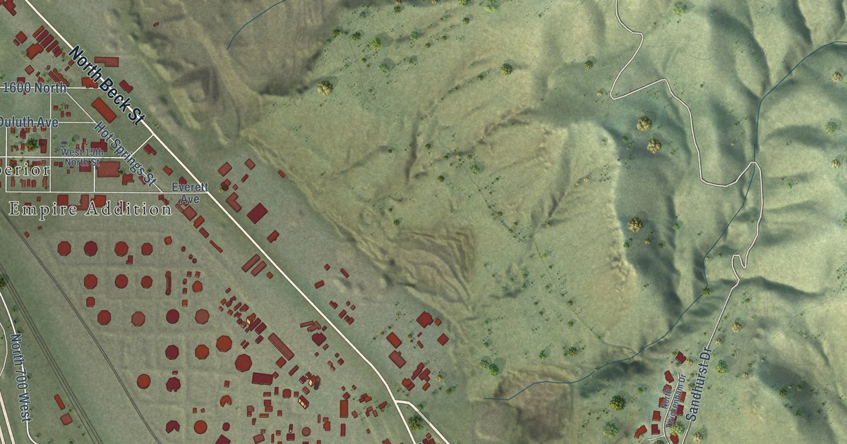
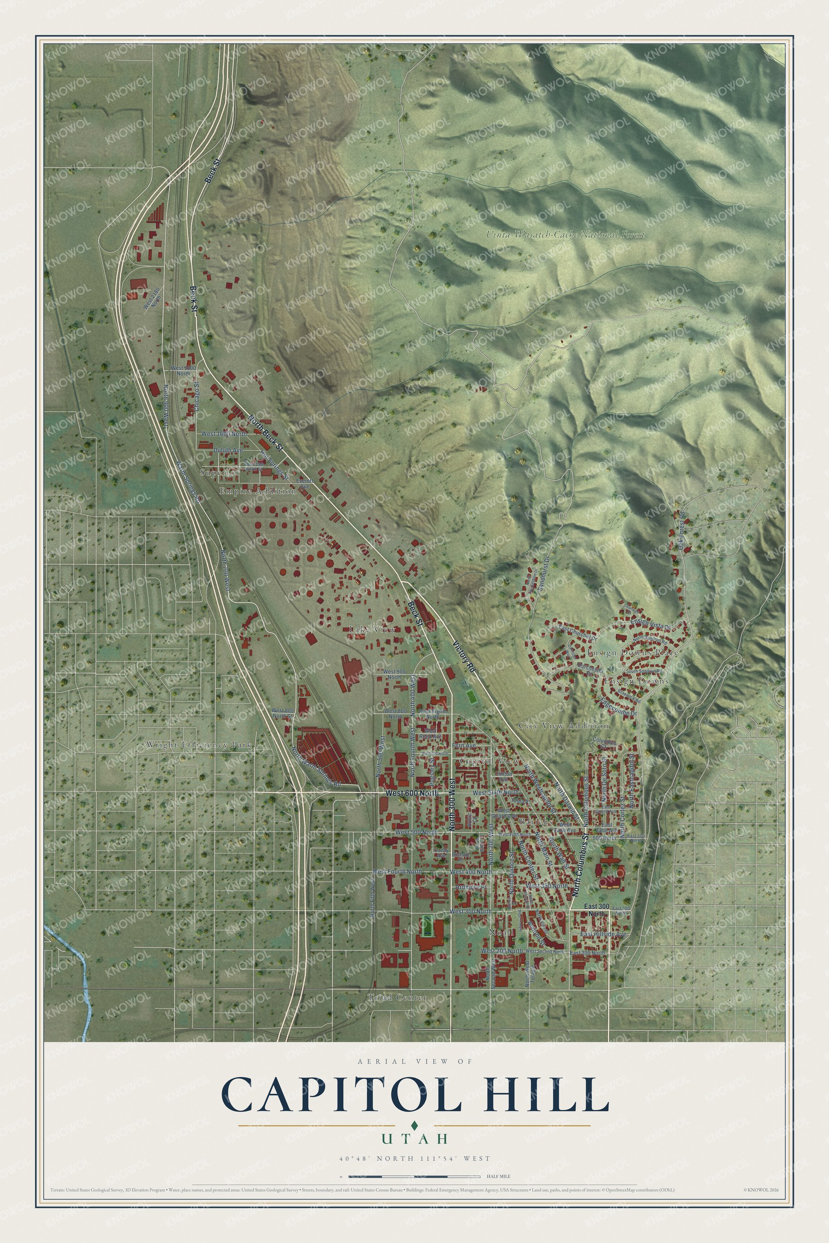
This beautifully detailed map of Capitol Hill, Utah was created in 2026 using aerial imagery combined with modern topographical, census, street and landmark data. It’s a one-of-a-kind view of Capitol Hill that combines accurate data with a vintage aesthetic. The map shows every building in its true location, many of the roads carry their names, and the shaded topographic relief shows the shape of the land.
Explore an aerial view of Capitol Hill, Utah
On the map you’ll find Uinta-Wasatch-Cache National Forest, Triad Center, Superior, Barichs, Ensign Downs, Wright Efficiency Park, Lake View, Noall, City View Addition, Capitol View, Empire Addition, Ensign Downs Place, and more. If you look closely you can even find your house accurately drawn in its correct location. Zoom in on the preview to look for yours.
Did You Know?
From Internet Archive: "Soon afterward Salt Lake City gave to the Territory that portion of Arsenal Hill now known as Capitol Hill, as a site for State Capitol buildings; also the Tenth Ward Square, to be used for permanent Fair Grounds."
Capitol Hill is a place in Salt Lake County.
Take a closer look at the Capitol Hill map
Names on this map
These names are printed on this map.
Places: Uinta-Wasatch-Cache National Forest, Triad Center, Superior, Barichs, Ensign Downs, Wright Efficiency Park, Lake View, Noall, City View Addition, Capitol View, Empire Addition and Ensign Downs Place.
Streets and roads: Victory Road, Beck Street, West 600 North, North Beck Street, North 300 West, North Columbus Street, Warm Springs Road, North 700 West, North Warm Springs Road, North 900 West, North Main Street, Chicago Street.
More street names, A to Z
500 North, Alida Place, Almond Street, Arctic Court, Ardmore Place, Bishop Place, Braewick Road, Chartwell Court, Clinton Avenue, Columbus Court, Dartmoor Way, Dorchester Drive, Duluth Avenue, East 200 North, East 300 North, East 500 North, East Churchill Drive, East Girard Avenue, East Hillside Avenue, East Zane Avenue, Edgecombe Drive, Ensign Vista Drive, Everett Avenue, Fern Avenue, Hot Springs Street, North 200 West, North 400 West, North 500 West, North Almond Street, North Baltic Court, North Center Street, North Cortez Street, North Darwin Street, North De Soto Street, North Eastcapitol Street, North Fifth West, North Fourth West, North Quince Street, North Sandrun Road, North Second West, North Twickenham Drive, North Vine Street, North Wall Street, North Westcapitol Street, North West Temple, Oak Forest Road, Ouray Avenue, Pugsley Street, Quince Street, Sandhurst Drive, South Sandrun Road, West 15th North Street, West 200 North, West 300 North, West 350 North, West 400 North, West 500 North, West 700 North, West 800 North, West 800 North Street, West 900 North, West 1600 North, West 1800 North, West 2180 North, West Eighth North, West Fifth North, West Fourth North, West Girard Avenue, West Reed Avenue, West Second North, West Sixth North, West Temple, West Zane Avenue.
See it on a wall
The Capitol Hill map as a framed print. Swipe for more.


This beautifully detailed map of Capitol Hill makes an attractive addition to your office, library, or den, and it can even be used to teach children the geography and history of the area. It also makes a great gift for anyone who grew up in Capitol Hill or moved away. When you’re done exploring, click here to get your copy of the Capitol Hill map.