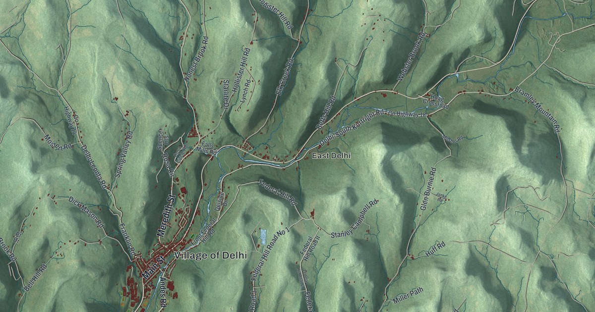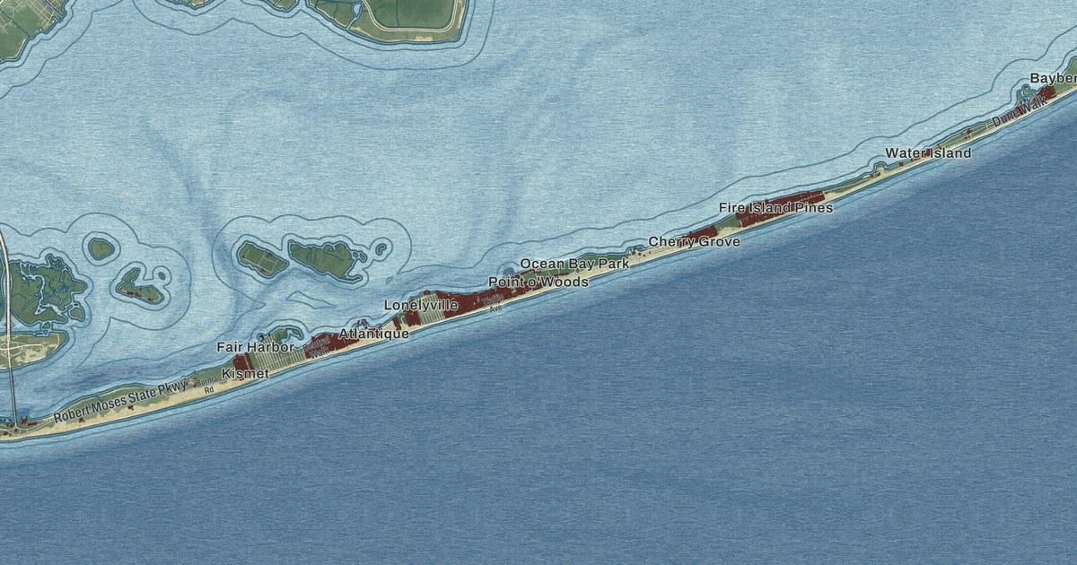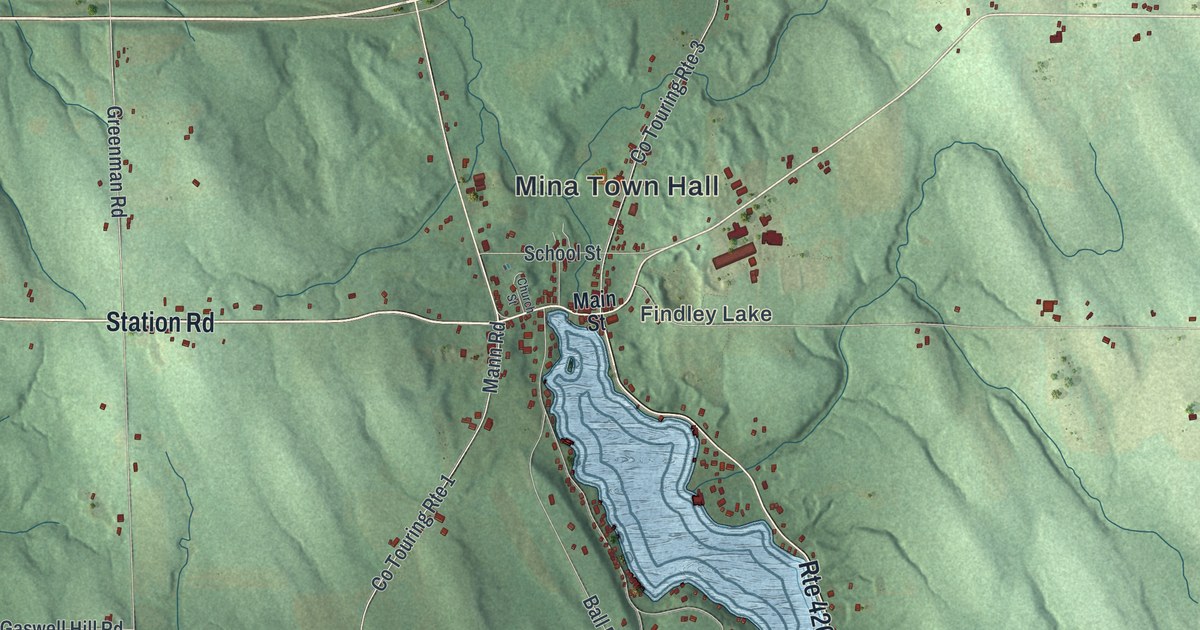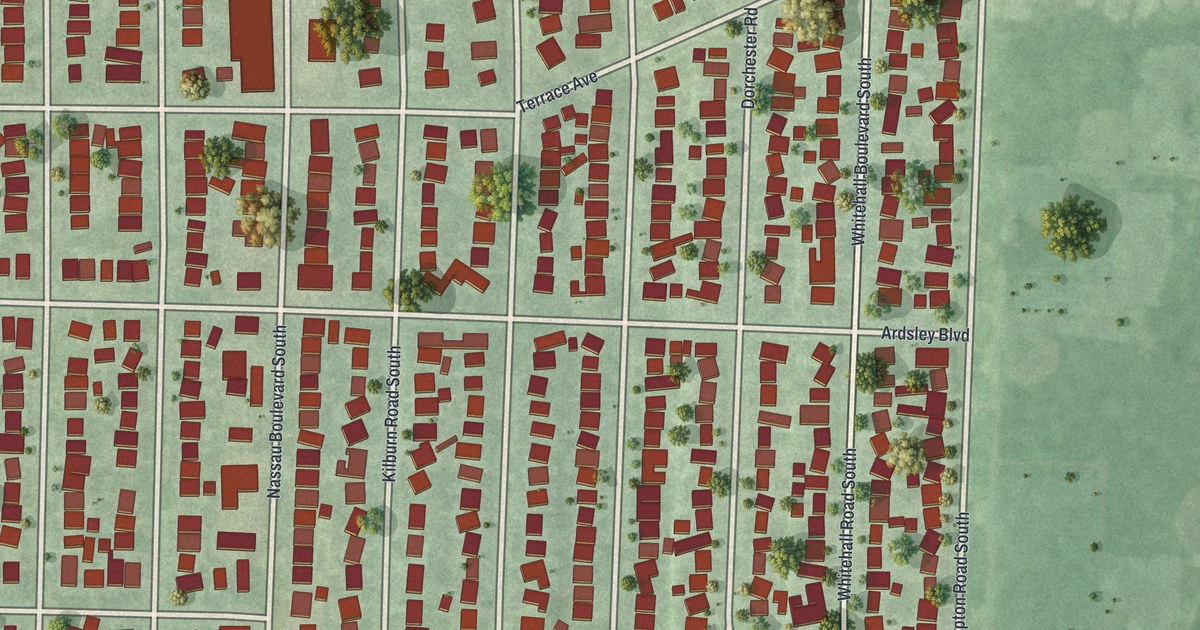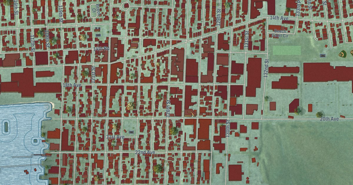
This beautifully detailed map of College Point, New York was created in 2026 using aerial imagery combined with modern topographical, census, street and landmark data. It’s a one-of-a-kind view of College Point that combines accurate data with a vintage aesthetic. The map shows every building in its true location, many of the roads carry their names, and the shaded topographic relief shows the shape of the land.
Explore an aerial view of College Point, New York
On the map you’ll find Hermon a MacNeil Park, Malba, and Point Crescent, along with Parsons Boulevard, Center Drive, 144th Street, Powells Cove Boulevard, Lax Avenue, Ninth Avenue, Poppenhusen Avenue, Tallman Boulevard, 14th Avenue, and more. If you look closely you can even find your house accurately drawn in its correct location. Zoom in on the preview to look for yours.
Did You Know?
From Internet Archive: "Suydam in the real estate, insurance and building business until January 1 1924. when the partnership of Suydam & Koch was founded and the firm located at its present address in College Point."
College Point is a place in Queens County.
Take a closer look at the College Point map
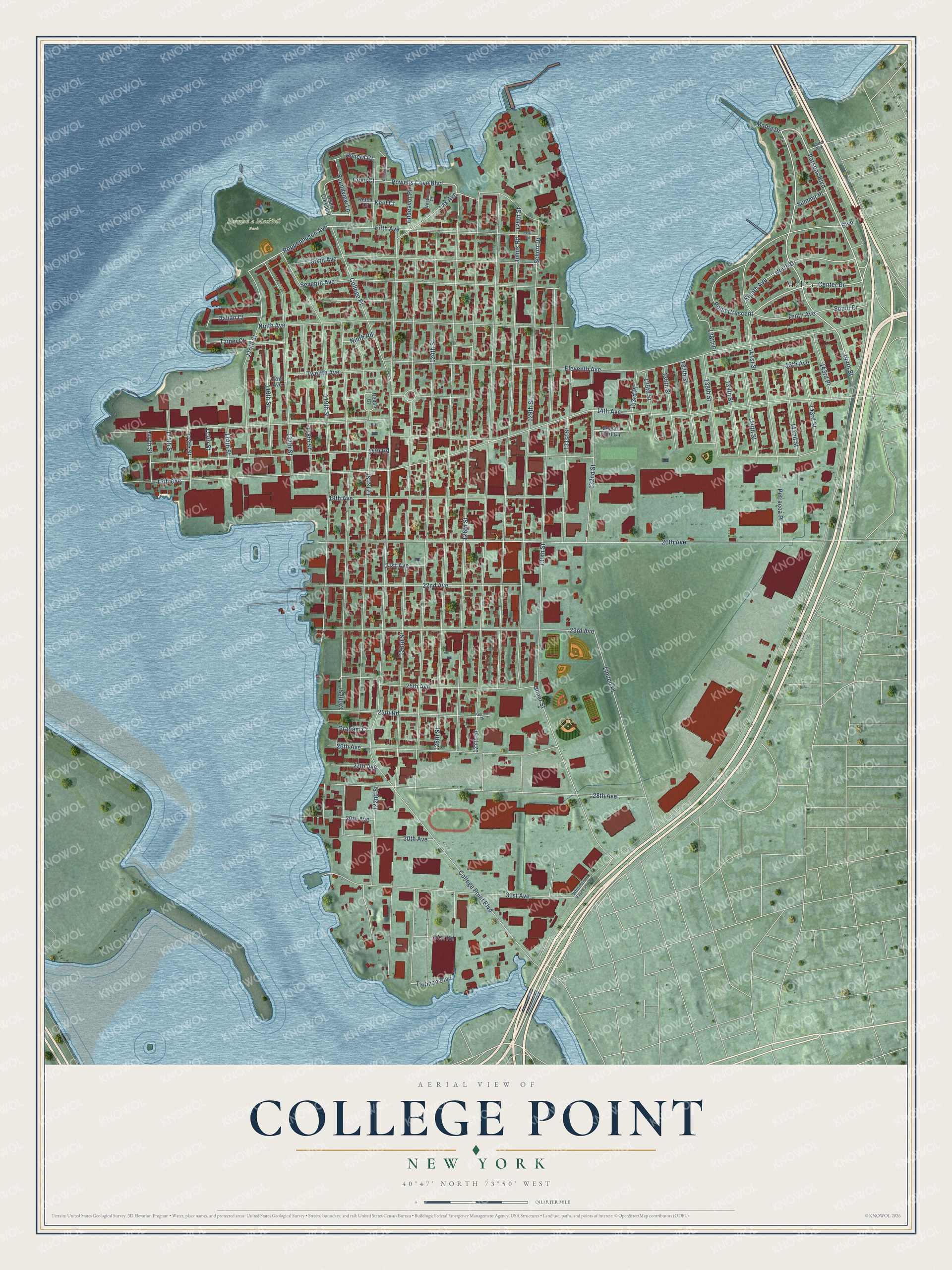
Names on this map
These names are printed on this map.
Places: Hermon a MacNeil Park and Malba.
Streets and roads: Parsons Boulevard, Center Drive, 144th Street, Powells Cove Boulevard, Lax Avenue, Point Crescent, Ninth Avenue, Poppenhusen Avenue, Tallman Boulevard, 14th Avenue, Fifth Avenue, Schorr Drive.
More street names, A to Z
12nd Avenue, 13th Avenue, 14th Road, 15th Avenue, 18th Avenue, 20th Avenue, 21st Avenue, 22nd Avenue, 23rd Avenue, 25th Avenue, 25th Road, 26th Avenue, 27th Avenue, 28th Avenue, 29th Avenue, 30th Avenue, 31st Avenue, 31st Road, 110th Street, 111th Street, 112th Street, 113th Street, 114th Street, 115th Street, 116th Street, 117th Street, 118th Street, 119th Street, 120th Street, 121st Street, 122nd Street, 123rd Street, 124th Street, 125th Street, 126th Street, 127th Street, 128th Street, 129th Street, 130th Street, 131st Street, 132nd Street, 133rd Place, 135th Street, 136th Street, 137th Street, 138th Place, 138th Street, 139th Street, 140th Street, 141st Street, 142nd Street, 143rd Place, 143rd Street, Beech Court, Beech Court Circle, Boulevard, College Place, College Point Boulevard, Constitution Place, Cove Court, Dalian Court, Eighth Avenue, Eleventh Avenue, Endeavor Place, Graham Court, Gurino Drive, Julius Road, Keel Court, Ketch Court, Linden Place, Malba Drive, Ninth Road, North Drive, Park Crescent, Pearl Road, Petracca Place, Riviera Court, Seventh Avenue, Sixth Avenue, Soundview Lane, South Drive, Summit Place, Taipei Court, Tenth Avenue, Third Avenue, Twelfth Avenue, Ulmer Street, Weatherly Place, Whitestone Expressway.
See it on a wall
The College Point map as a framed print. Swipe for more.


This beautifully detailed map of College Point makes an attractive addition to your office, library, or den, and it can even be used to teach children the geography and history of the area. It also makes a great gift for anyone who grew up in College Point or moved away. When you’re done exploring, click here to get your copy of the College Point map.