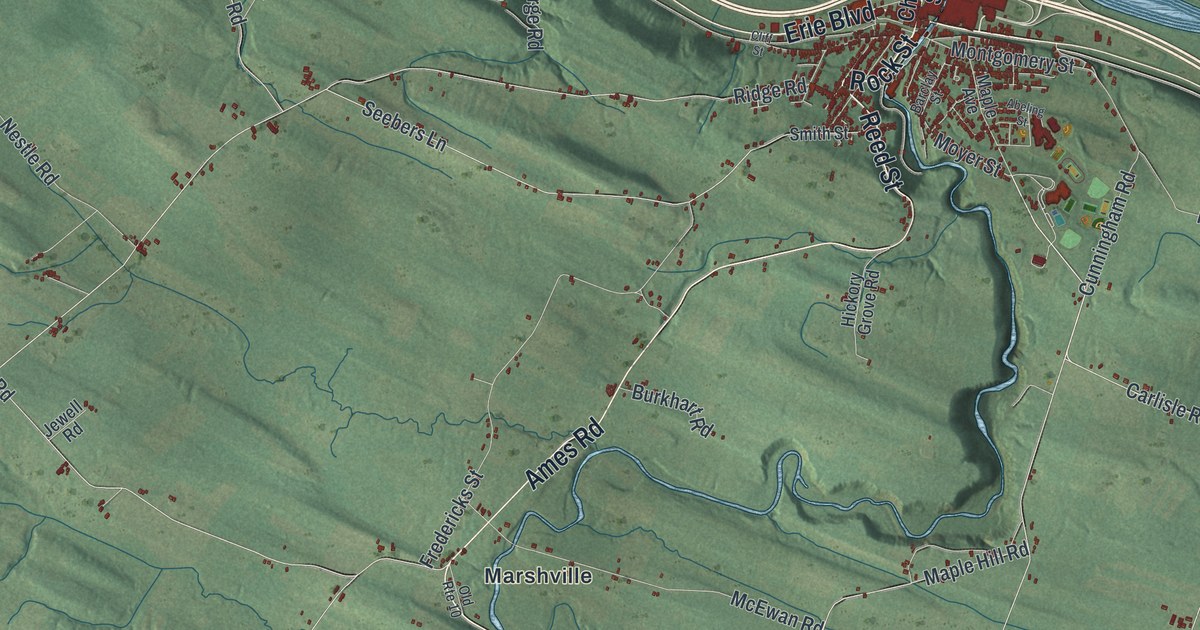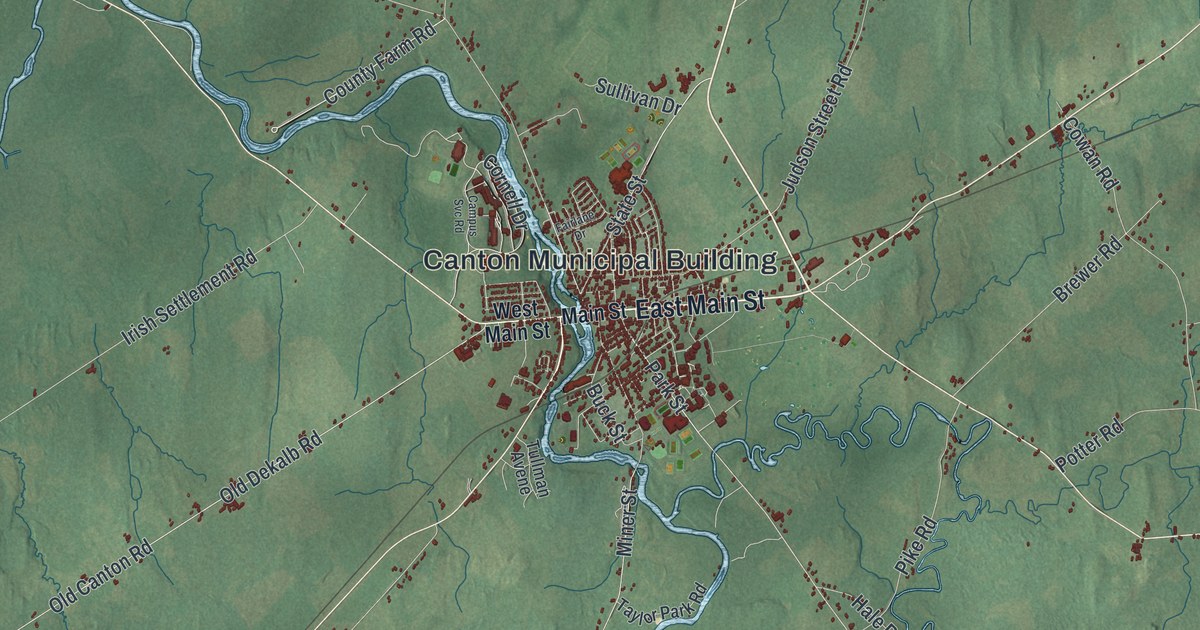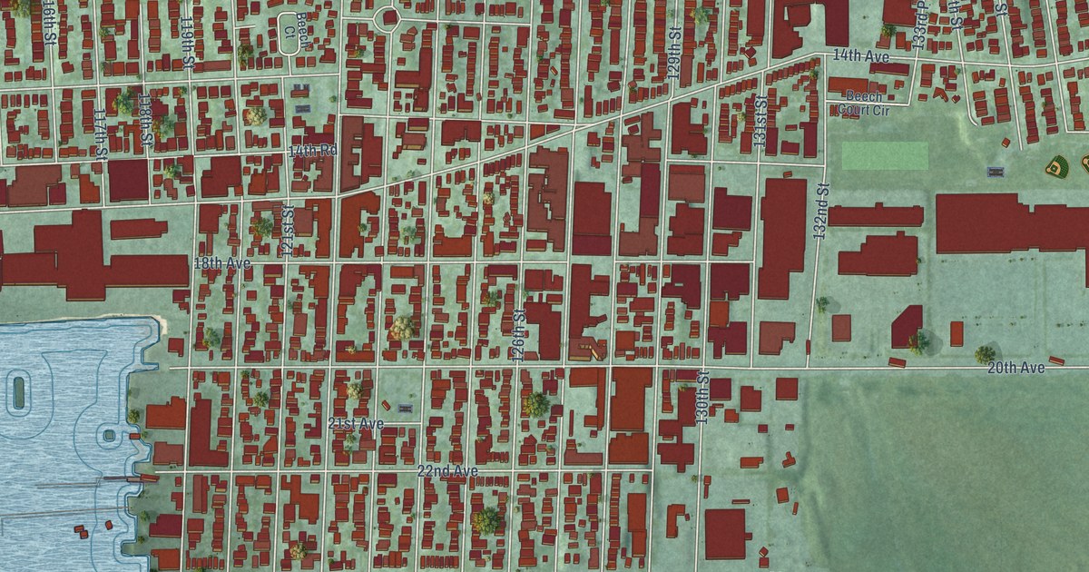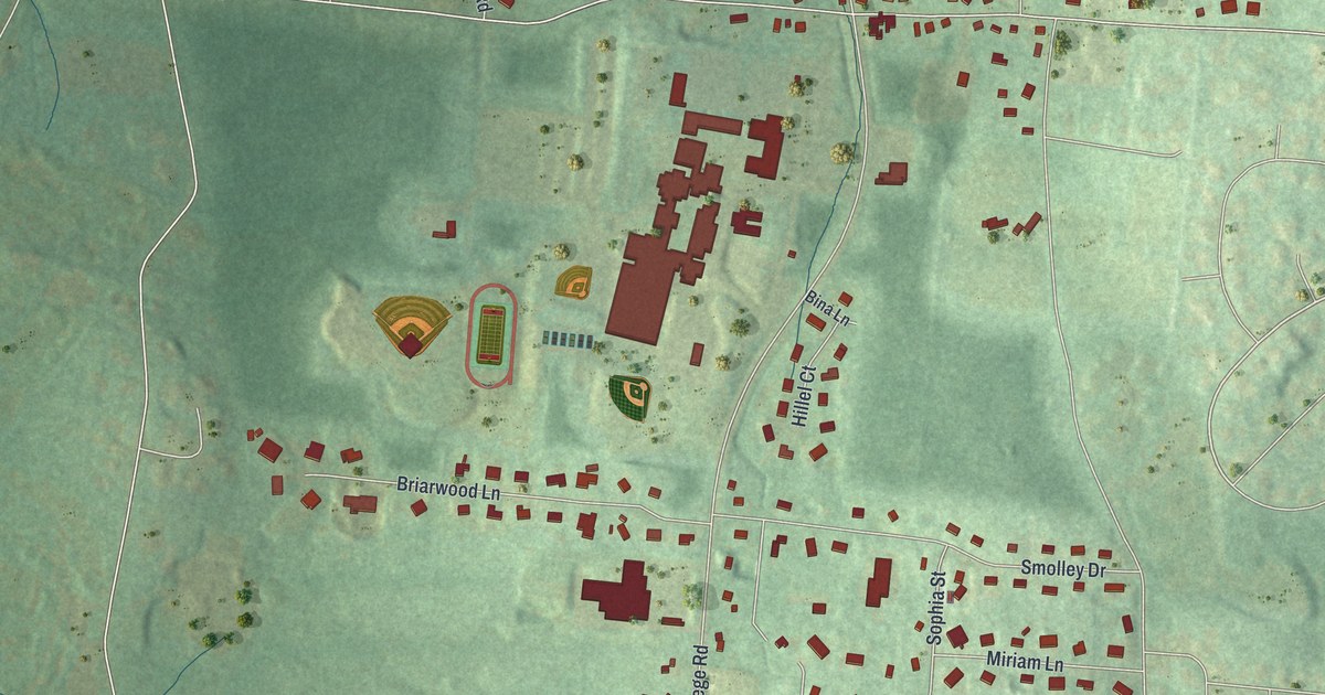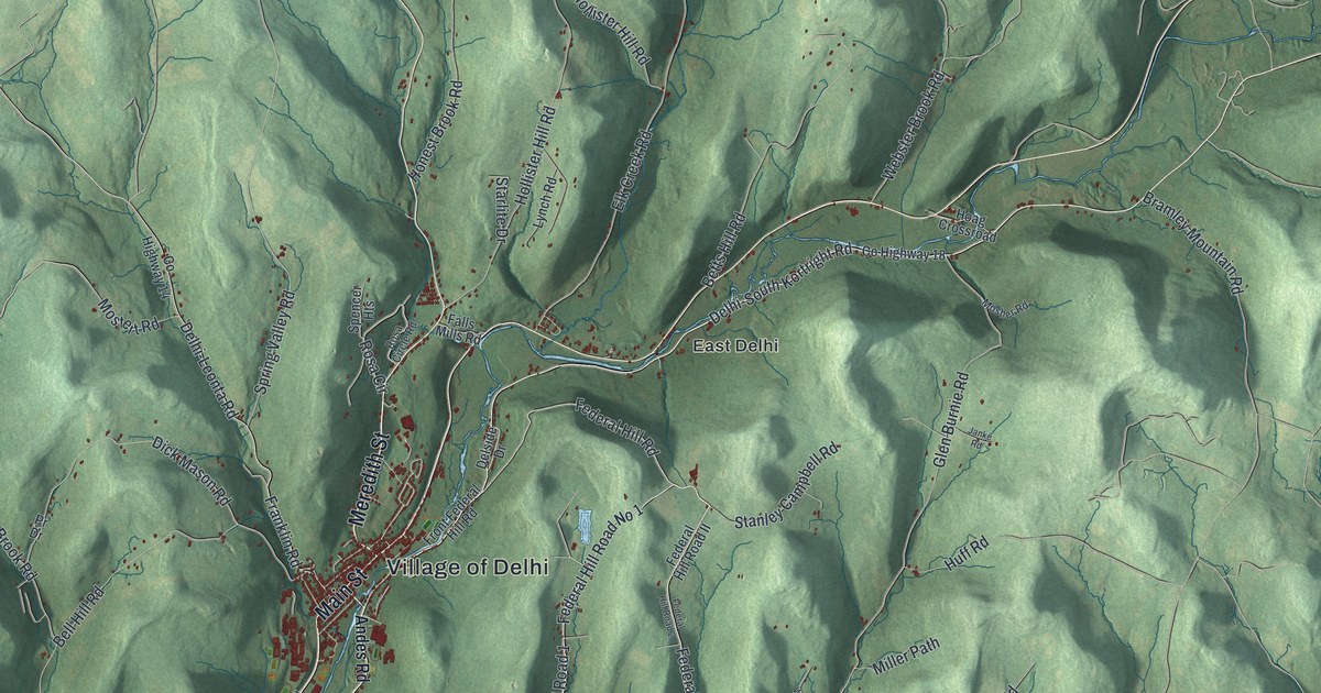
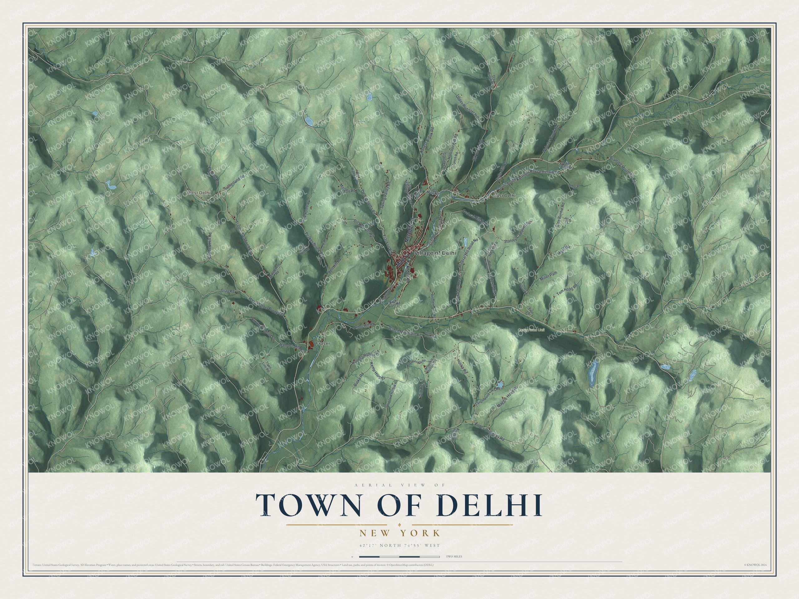
This beautifully detailed map of the Town of Delhi, New York was created in 2026 using aerial imagery combined with modern topographical, census, street and landmark data. It’s a one-of-a-kind view of the Town of Delhi that combines accurate data with a vintage aesthetic. The map shows every building in its true location, many of the roads carry their names, and the shaded topographic relief shows the shape of the land.
Explore an aerial view of the Town of Delhi, New York
On the map you’ll find West Delhi, East Delhi, and Fraser, along with Main Street, Meredith Street, Andes Road, Delhi-South Kortright Road, Federal Hill Road, and more. If you look closely you can even find your house accurately drawn in its correct location. Zoom in on the preview to look for yours.
Did You Know?
Shortly after the Revolutionary War, Ebenezer Foote held great sway in the area and in the State legislature. People nicknamed him the Great Mogul. Joking citizens then named the community for Delhi, India. That city was the capital of the real Great Mogul. That’s from the 1940 WPA guide to New York.
Take a closer look at the Town of Delhi map
Names on this map
These names are printed on this map.
Places: Village of Delhi, West Delhi, Carey Road Unit, East Delhi and Fraser.
Streets and roads: Main Street, Meredith Street, Delhi-South Kortright Road, Federal Hill Road No 1, Federal Hill Road 1, Federal Hill Road, Federal Hill II, Delhi-Leonta Road, Fraser-Treadwell Road, West Platner Brook Road, Glen Burnie Road, Maggie Hoag Road.
More street names, A to Z
Andes-Delancey Road, Andes Road, Arbor Hill Road, Arbuckle Hollow Road, Back River Road, Bell Hill Road, Betts Hill Road, Bob Holloway Road, Bramley Mountain Road, Burke Road, Charlie Wood Road, County Highway 14, County Highway 18, Delside Drive, Dick Mason Road, Dirt Road, Dry Brook Road, Elk Creek Road, Falls Mills Road, Federal Hill Road 2, Federal Hill Road II, Fleming Road, Frank Hafele Road, Franklin Road, Front Federal Hill Road, Gray Road, Hamden Hill Road, Hamden Hill Road Spr, Hoag Crossroad, Hollister Hill Road, Holmes Hollow Road, Honest Brook Road, Huff Road, Huska Road, Janke Road, John Williams Road, Kemp Hill Road, Lumbert Hill Road, Lynch Road, Middlemist Road, Miller Path, Mosher Road, Mostert Road, Peakes Brook Road, Pr Drive, Reuben Todd Road, Rider Hill Road, Rosa Circle, Rosa Circle Road, Scotch Mountain Road, Sherwood Road, Spencer Heights, Spring Valley Road, Stanley Campbell Road, Starlite Drive, Stoddard Hollow Road, Sutherland Road, Tanglewood Lake Road, Tara Lane, Thomson Cross Road, Tom Hoag Road, Town Line Road, Upper Hollister Hill Road, Webster Brook Road.
See it on a wall
The Delhi map as a framed print. Swipe for more.


This beautifully detailed map of the Town of Delhi makes an attractive addition to your office, library, or den, and it can even be used to teach children the geography and history of the area. It also makes a great gift for someone who left the Town of Delhi and still calls it home. When you’re done exploring, click here to get your copy of the Town of Delhi map.