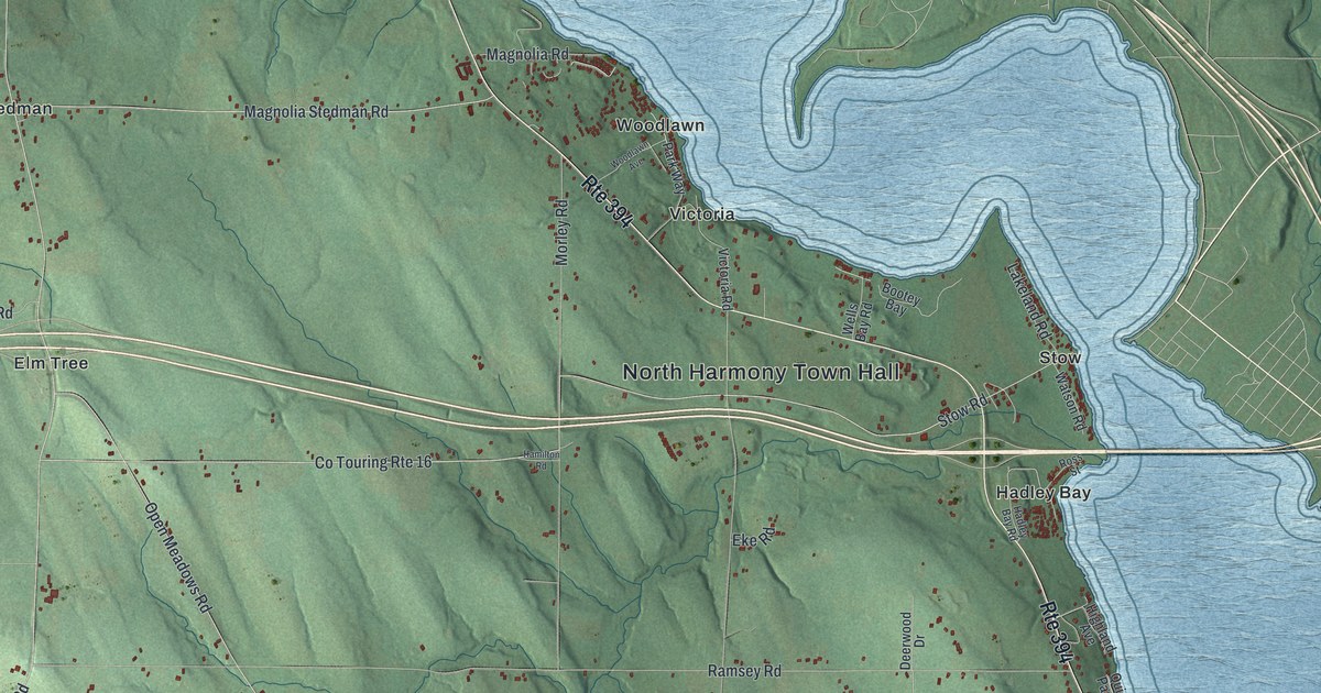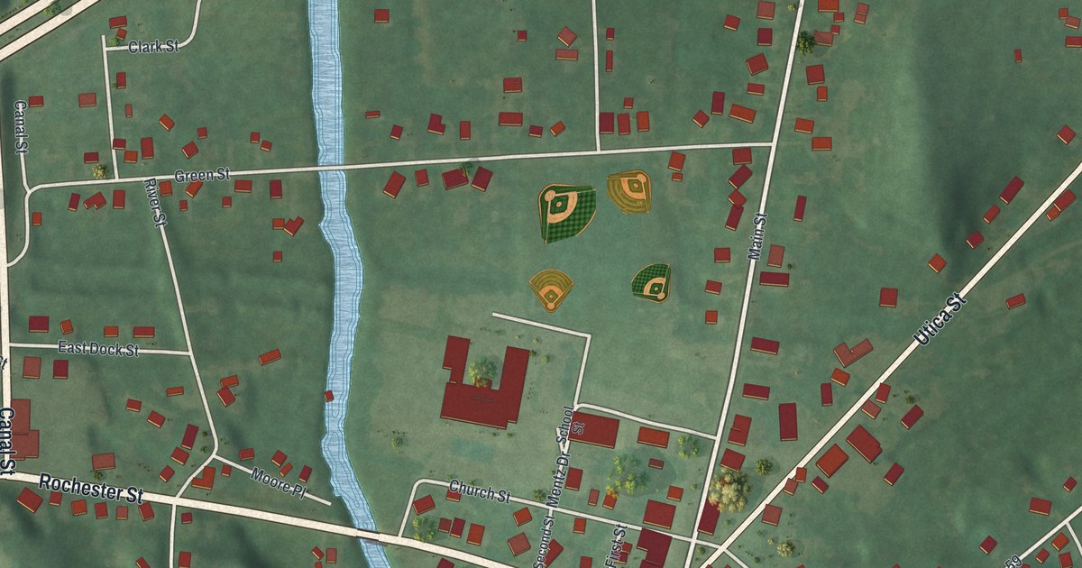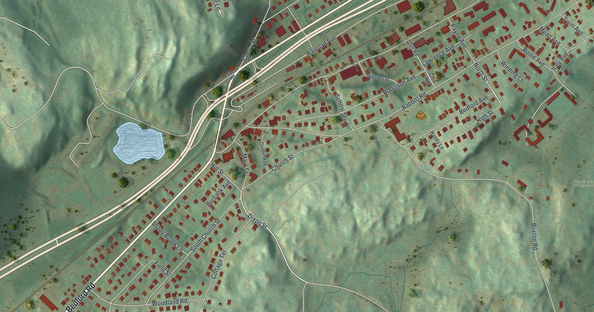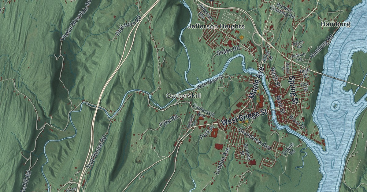
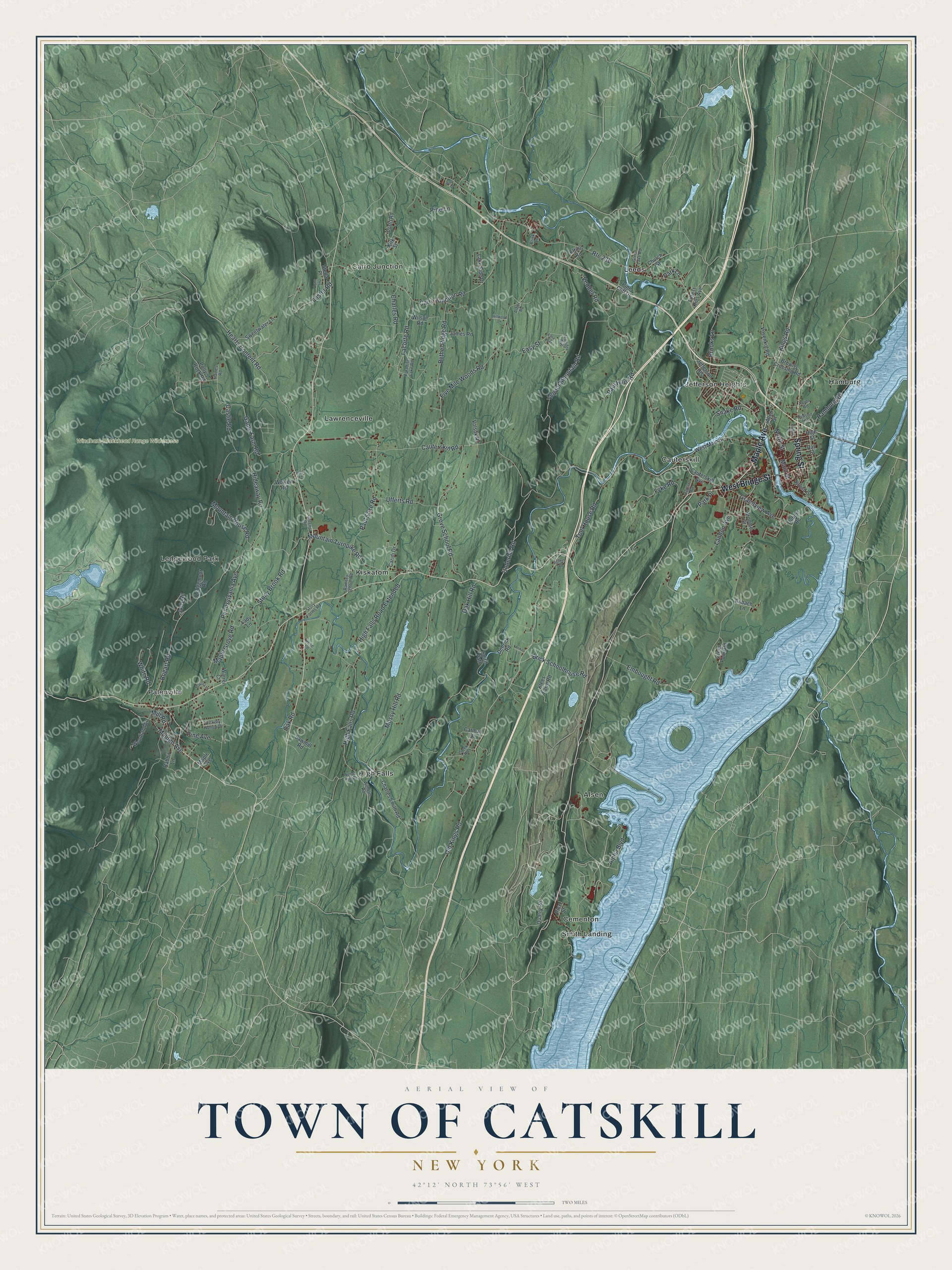
This beautifully detailed map of the Town of Catskill, New York was created in 2026 using aerial imagery combined with modern topographical, census, street and landmark data. It’s a one-of-a-kind view of the Town of Catskill that combines accurate data with a vintage aesthetic. The map shows every building in its true location, many of the roads carry their names, and the shaded topographic relief shows the shape of the land.
Explore an aerial view of the Town of Catskill, New York
On the map you’ll find Alsen, Cairo Junction, Cauterskill, Cementon, and Hamburg, along with Bridge Street, Maple Avenue, Spring Street, Alpha Boulevard, Game Farm Road, and more. If you look closely you can even find your house accurately drawn in its correct location. Zoom in on the preview to look for yours.
Did You Know?
Derrick Teunis van Vechten was the first settler, building a house here in 1680. The town was created within Albany County on March 7, 1788. It joined the new Greene County in 1800. Washington Irving set his famous tale Rip Van Winkle in Catskill.
Take a closer look at the Town of Catskill map
Names on this map
These names are printed on this map.
Places: Windham-Blackhead Range Wilderness, Alsen, Cairo Junction, Cauterskill, Cementon, Hamburg, High Falls, Jefferson Heights, Kiskatom, Lawrenceville, Ledgewood Park, Leeds, Palenville and Smith Landing.
Streets and roads: West Bridge Street, Maple Avenue, Spring Street, Alpha Boulevard, Game Farm Road, Maple Grove Road, Cauterskill Road, High Falls Road, Old Kings Road, Bogart Road, Embought Road, Cairo Junction Road.
More street names, A to Z
Aaron Road, Allen Street, Anbach Lane, Annas Lane, Arbor Road, Bartow Street, Bethel Ridge Road, Brick Schoolhouse Road, Brink Lane, Broad Street, Brooks Lane, Broome Street, Browns Crossing Road, Caridi Drive, Carman Drive, Castle Road, Cauterskill Avenue, Charles Road, Charles Smith Road, Church Street, Creek Road, Dakota Lane, Day Street, Dedrick Road, Dubois Road, Easy Street, Easy Way, Elting Road, Five Mile Woods Road, Forest Hills Avenue, Foster Road, Fyke Road, Grandview Avenue, Green Lake Road, Green Point Road, Greens Road, Grove School Road, Haines Road, Hamburg Road, Hearts Content Road, Hickory Hollow Drive, Hideaway Road, High Falls Road Extended, Highland Avenue, High Street, Hillwood Lane, Hudson Heights, James Road, Jennifer Avenue, Justy Road, Kings Road, Kirk Street, Klees Farm Road, Lacorte Road, Lady Lane, Lake Side Drive, Landon Avenue, Ledgemoor Road, Lilac Lane, Lynn Lane, Main Street, Malden Avenue, Mill Road, Mossy Hill Road, Mountain House Road, Mountain Turnpike Road, Nelson Huff Road, North Street, Oak Hill Road, Oak Road, Palmer Road, Paradise Lake Road, Park Lane, Park Place, Paul Horn Road, Paul Saxe Road, Pennsylvania Avenue, Pine Avenue, Pine Cliff Drive, Pine Drive, Pine Lane, Pine Street, Polly's Rock Road, Porto Road, Quarry Road, Rabbit Lane, Ramsey School Road, Rose Lane, Sawmill Road, Snake Road, Spirit Path, Stella Place, Stony Brook Road, Story Farms Road, Sweetwater Lane, Tool House Road, Ufferts Road, Underhill Road, Vedder Mountain Road, Vedder Road, Volsok Road, Vosenkill Road, Warren Court, West Main Street, White Road, Wilhelm Road, Wilson Road, Wolven Road, Woodland Lane.
See it on a wall
The Catskill map as a framed print. Swipe for more.


This beautifully detailed map of the Town of Catskill makes an attractive addition to your office, library, or den, and it can even be used to teach children the geography and history of the area. It also makes a great gift for anyone who grew up in the Town of Catskill or moved away. When you’re done exploring, click here to get your copy of the Town of Catskill map.