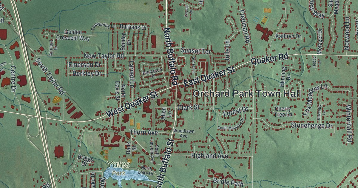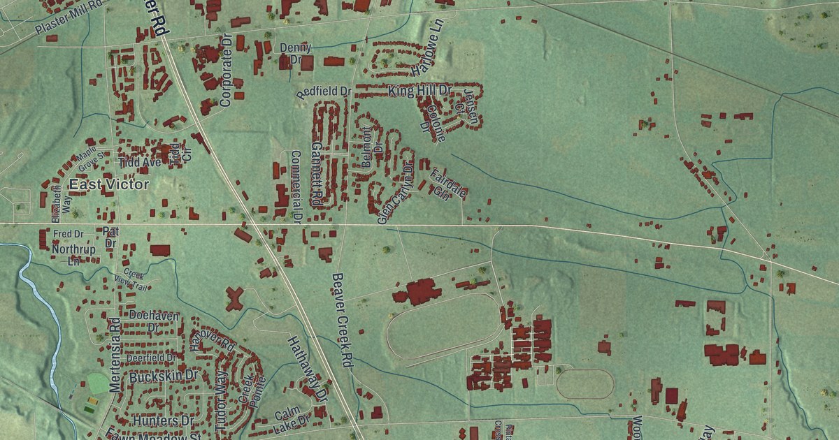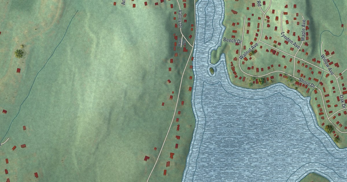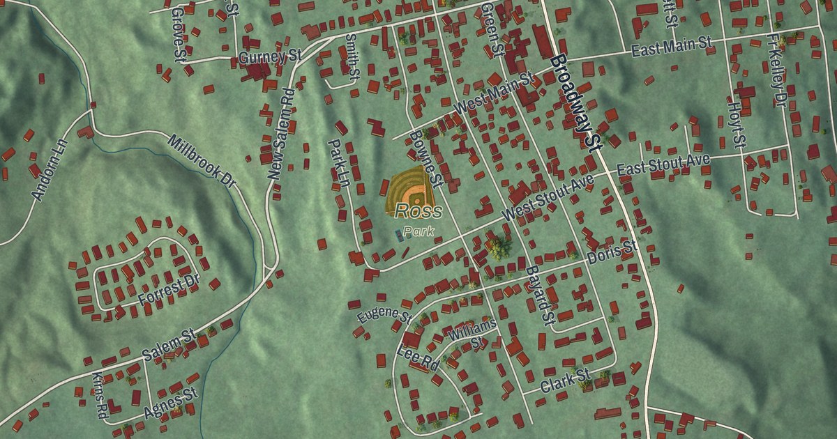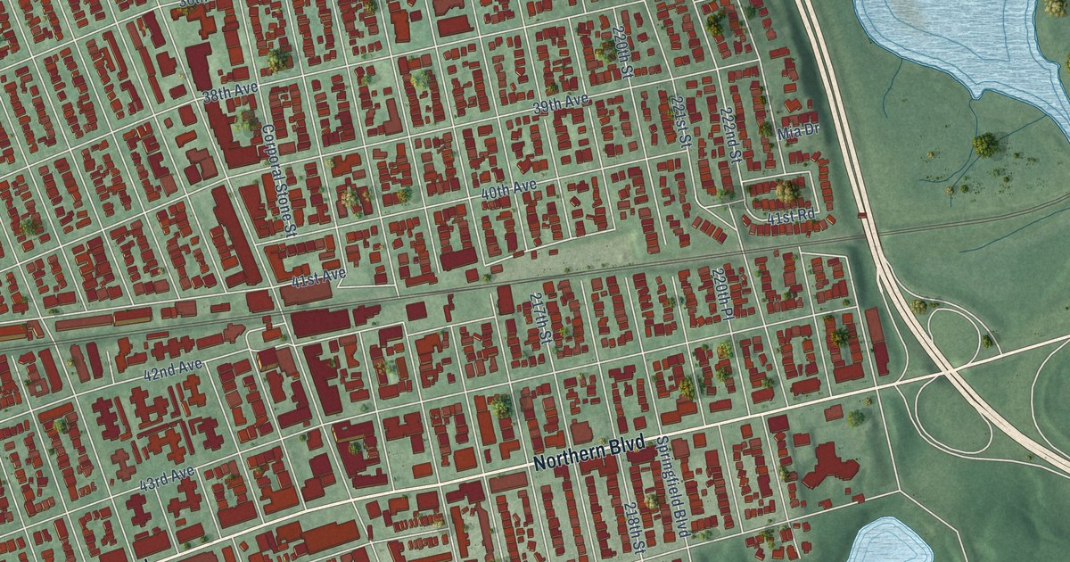
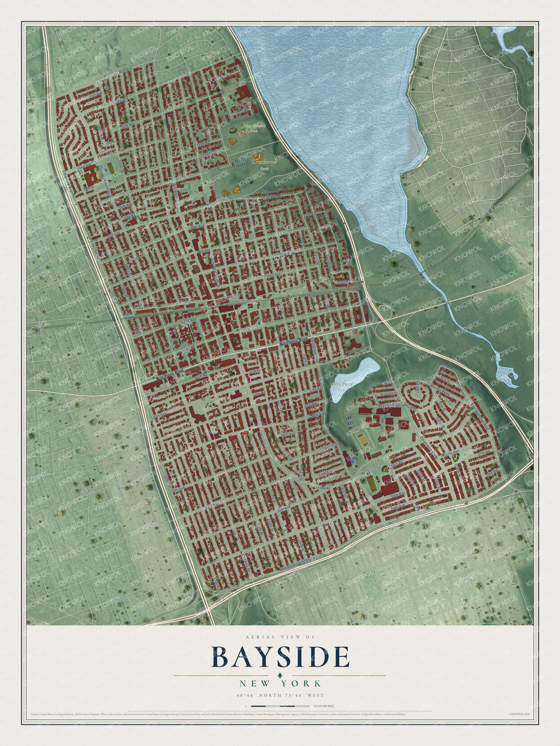
This beautifully detailed map of Bayside, New York was created in 2026 using aerial imagery combined with modern topographical, census, street and landmark data. It’s a one-of-a-kind view of Bayside that combines accurate data with a vintage aesthetic. The map shows every building in its true location, many of the roads carry their names, and the shaded topographic relief shows the shape of the land.
Explore an aerial view of Bayside, New York
On the map you’ll find Alley Pond Park, Crocheron Park, John Golden Park, and Luke Place, along with Northern Boulevard, East Hampton Boulevard, Clearview Expressway, Clearview Exwy Svc Road, 223rd Street, 50th Avenue, 41st Road, 41st Avenue, and more. If you look closely you can even find your house accurately drawn in its correct location. Zoom in on the preview to look for yours.
Did You Know?
From Internet Archive: "In 1913 he began his private practice, locating at Bayside, Long Island, where he built up a fine general practice, which he carried on for a number of years."
Bayside is a place in Queens County.
Take a closer look at the Bayside map
Names on this map
These names are printed on this map.
Places: Alley Pond Park, Crocheron Park and John Golden Park.
Streets and roads: Northern Boulevard, East Hampton Boulevard, Luke Place, Clearview Expressway, Clearview Exwy Svc Road, 223rd Street, 50th Avenue, 41st Road, 41st Avenue, 222nd Street, Bell Boulevard, 211th Street.
More street names, A to Z
26th Avenue, 27th Avenue, 28th Avenue, 28th Road, 29th Avenue, 30th Avenue, 31st Road, 32nd Avenue, 32nd Drive, 32nd Road, 33rd Avenue, 33rd Road, 34th Avenue, 34th Road, 35th Avenue, 36th Avenue, 37th Avenue, 38th Avenue, 39th Avenue, 40th Avenue, 42nd Avenue, 43rd Avenue, 45th Drive, 45th Road, 46th Avenue, 46th Road, 47th Avenue, 47th Road, 48th Avenue, 49th Avenue, 49th Road, 51st Avenue, 53rd Avenue, 54th Avenue, 56th Avenue, 56th Road, 57th Avenue, 57th Road, 58th Avenue, 58th Road, 59th Avenue, 205th Street, 206th Street, 207th Street, 208th Street, 209th Place, 209th Street, 210th Place, 210th Street, 212th Street, 213th Street, 214th Lane, 214th Place, 214th Street, 215th Place, 215th Street, 216th Street, 217th Street, 218th Street, 219th Street, 220th Place, 220th Street, 221st Street, 223rd Place, 224th Street, 225th Street, 226th Street, 228th Street, 229th Street, 230th Street, 231st Street, 232nd Street, Birmington Parkway, Boyce Avenue, Cloverdale Boulevard, Corbett Road, Corporal Kennedy Street, Corporal Stone Street, Enfield Place, Garland Drive, Horace Harding Expressway, Horatio Parkway, Hoxie Drive, Kenilworth Drive, Little Neck Boulevard, Mia Drive, Oceania Street, Springfield Boulevard.
See it on a wall
The Bayside map as a framed print. Swipe for more.


This beautifully detailed map of Bayside makes an attractive addition to your office, library, or den, and it can even be used to teach children the geography and history of the area. It also makes a great gift for anyone with Bayside roots. When you’re done exploring, click here to get your copy of the Bayside map.