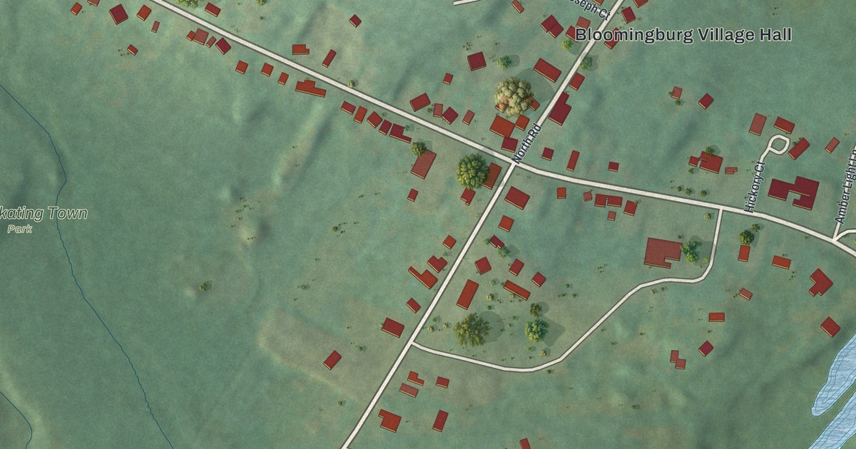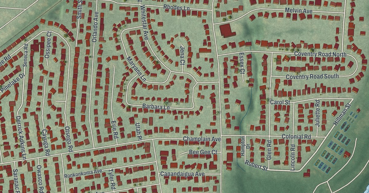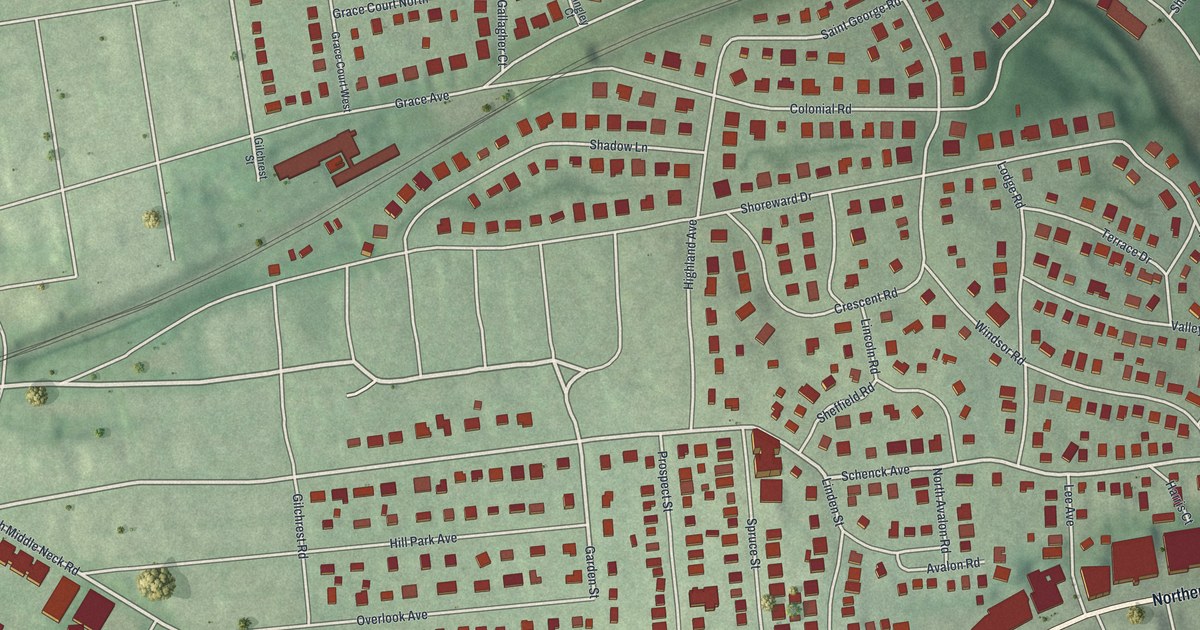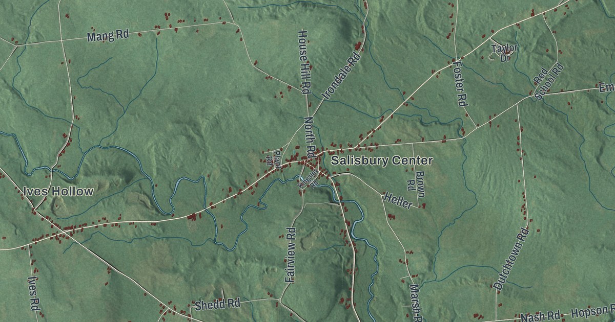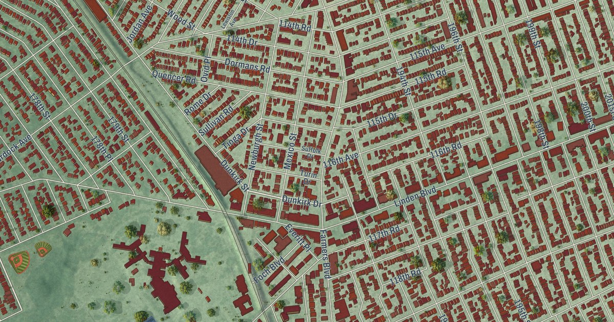
This beautifully detailed map of St. Albans, New York was created in 2026 using aerial imagery combined with modern topographical, census, street and landmark data. It’s a one-of-a-kind view of St. Albans that combines accurate data with a vintage aesthetic. The map shows every building in its true location, many of the roads carry their names, and the shaded topographic relief shows the shape of the land.
Explore an aerial view of St. Albans, New York
On the map you’ll find Roy Wilkins Park, along with 175th Street, Liberty Avenue, Hollis Avenue, Dunkirk Drive, Cheney Street, Farmers Boulevard, Linden Boulevard, Murdock Avenue, 194th Street, Merrick Boulevard, and more. If you look closely you can even find your house accurately drawn in its correct location. Zoom in on the preview to look for yours.
Take a closer look at the St. Albans map
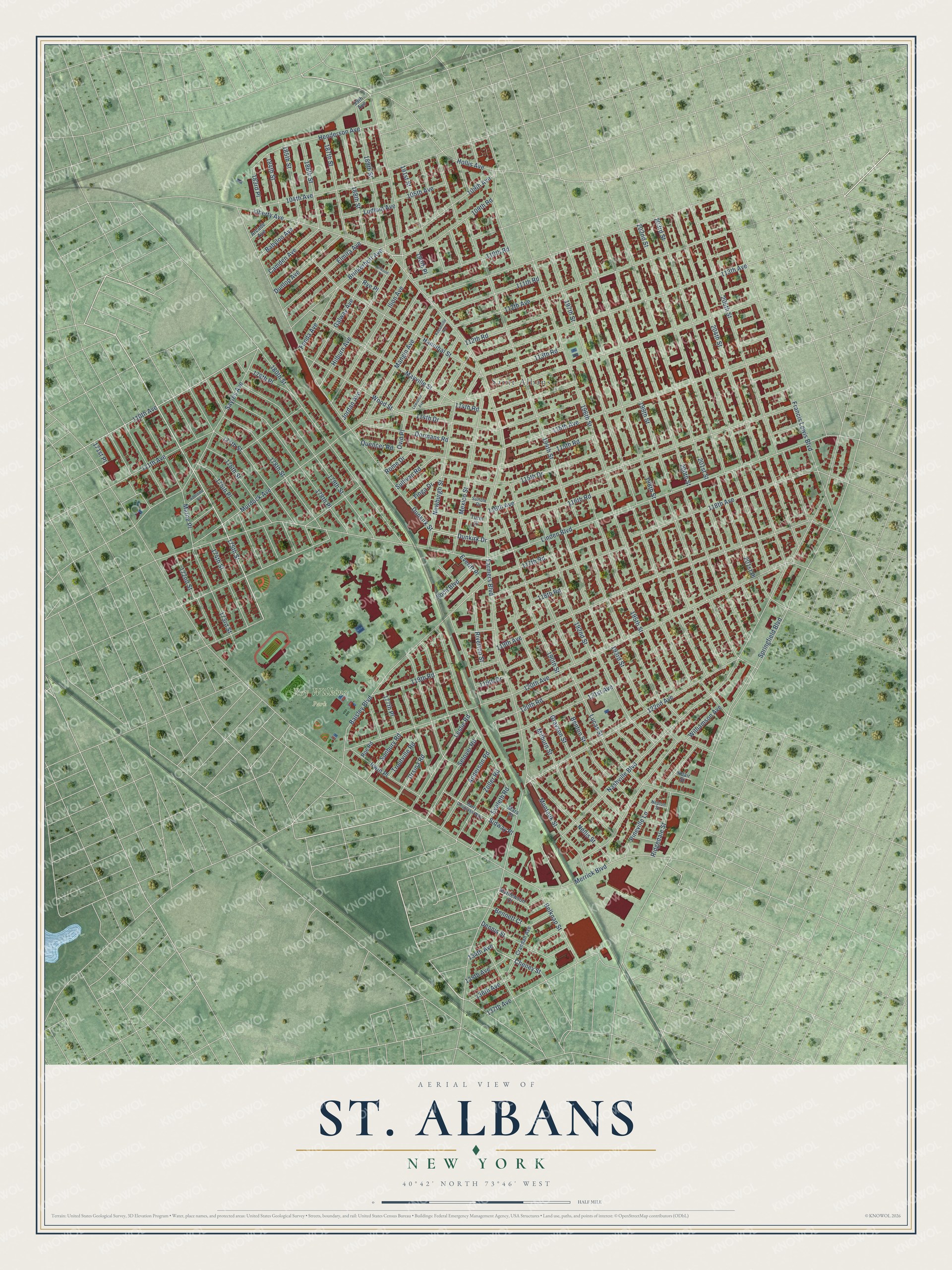
Names on this map
These names are printed on this map.
Places: Roy Wilkins Park and Saint Albans.
Streets and roads: 175th Street, Liberty Avenue, Hollis Avenue, Dunkirk Drive, Cheney Street, Farmers Boulevard, Linden Boulevard, Murdock Avenue, 194th Street, Merrick Boulevard, 120th Avenue, 197th Street.
More street names, A to Z
99th Avenue, 104th Avenue, 105th Avenue, 109th Avenue, 109th Road, 110th Avenue, 110th Road, 111th Avenue, 111th Road, 112th Avenue, 112th Road, 113th Avenue, 113th Road, 114th Drive, 114th Road, 115th Avenue, 115th Drive, 115th Road, 116th Avenue, 116th Road, 117th Road, 118th Avenue, 118th Road, 119th Avenue, 119th Drive, 119th Road, 120th Road, 121st Avenue, 122nd Avenue, 134th Avenue, 135th Avenue, 136th Avenue, 137th Avenue, 171st Place, 172nd Street, 173rd Street, 174th Street, 175th Place, 176th Street, 177th Place, 177th Street, 178th Place, 178th Street, 179th Place, 179th Street, 180th Street, 183rd Place, 184th Street, 185th Street, 186th Street, 187th Street, 188th Street, 189th Street, 190th Place, 190th Street, 191st Street, 192nd Street, 193rd Street, 195th Street, 196th Street, 198th Street, 199th Street, 200th Street, 201st Place, 201st Street, 202nd Street, 203rd Street, 204th Street, 205th Street, Adair Street, Adelaide Road, Anderson Road, Arcade Avenue, Babylon Avenue, Baisley Boulevard, Belknap Street, Bennett Court, Benton Street, Brinkerhoff Avenue, Camden Avenue, Crandall Avenue, Dennis Street, Dormans Road, Dunkirk Street, Dunlop Avenue, Elmira Avenue, Eveleth Road, Everitt Place, Firwood Place, Foch Boulevard, Fonda Avenue, Francis Lewis Boulevard, Galway Avenue, Grayson Street, Hannibal Street, Harry Douglass Way, Henderson Avenue, Hilburn Avenue, Ilion Avenue, Irwin Place, Jordan Avenue, Keeseville Avenue, Leslie Road, Lewiston Avenue, Lucas Street, Ludlum Avenue, Mangin Avenue, Marne Place, Mars Place, Mathewson Court, Mayville Street, Mexico Street, Milburn Street, Montauk Street, Nashville Boulevard, Nellis Street, Nepton Street, Newburgh Street, Ovid Place, Pineville Lane, Quencer Road, Ridgedale Street, Riverton Street, Roe Road, Rome Drive, Rye Place, Sayres Avenue, Selover Road, Sidway Place, Springfield Boulevard, Suffolk Drive, Sullivan Road, Sunbury Road, Tioga Drive, Troutville Road, Turin Drive, Ursina Road, Williamson Avenue, Wood Street, Zoller Road.
See it on a wall
The St. Albans map as a framed print. Swipe for more.


This beautifully detailed map of St. Albans makes an attractive addition to your office, library, or den, and it can even be used to teach children the geography and history of the area. It also makes a great gift for someone who left St. Albans and still calls it home. When you’re done exploring, click here to get your copy of the St. Albans map.