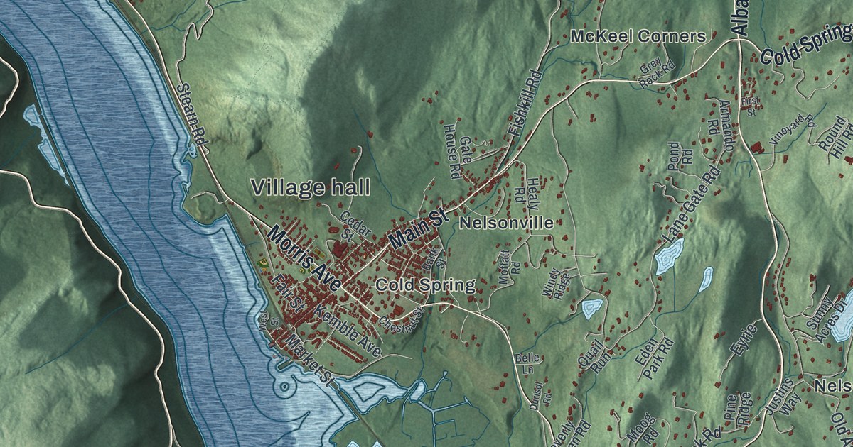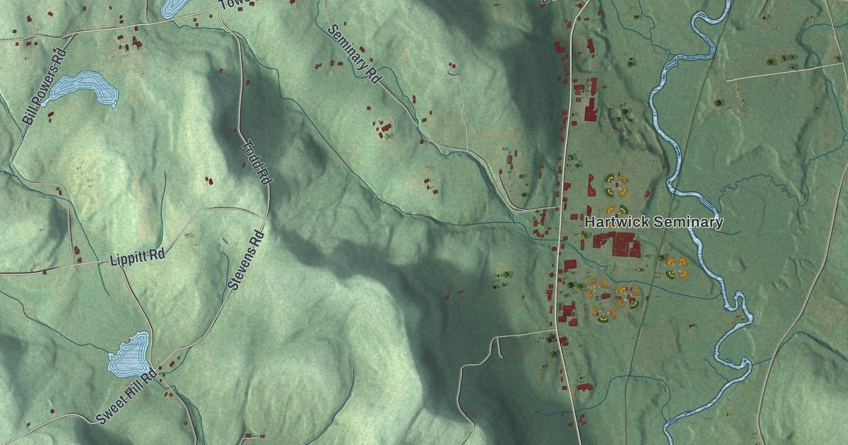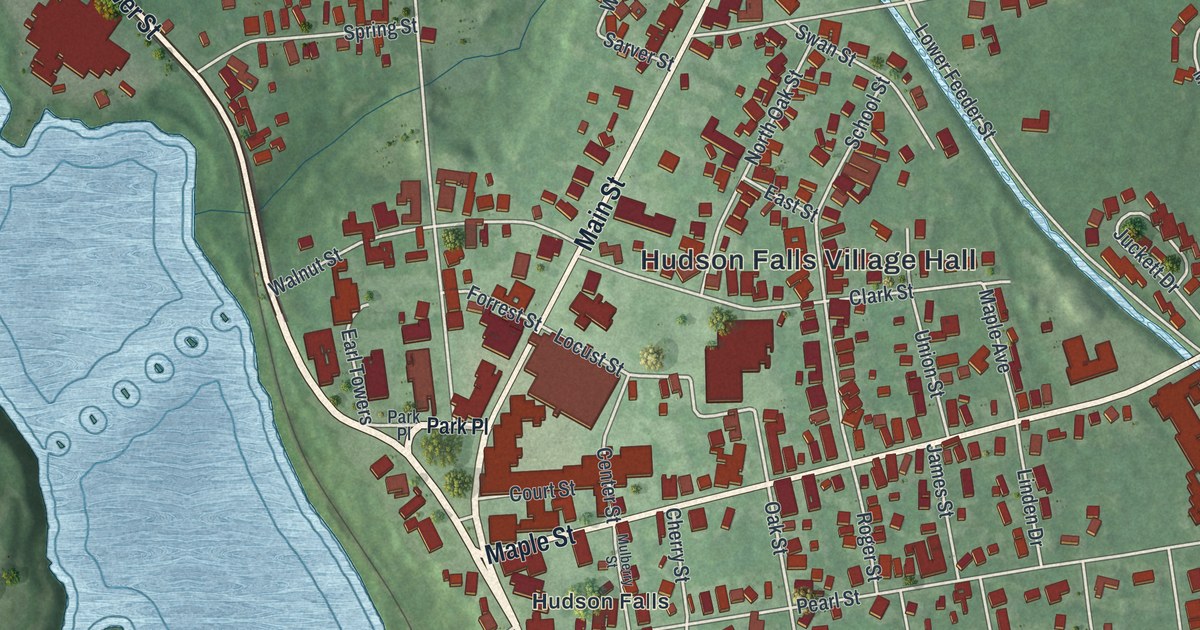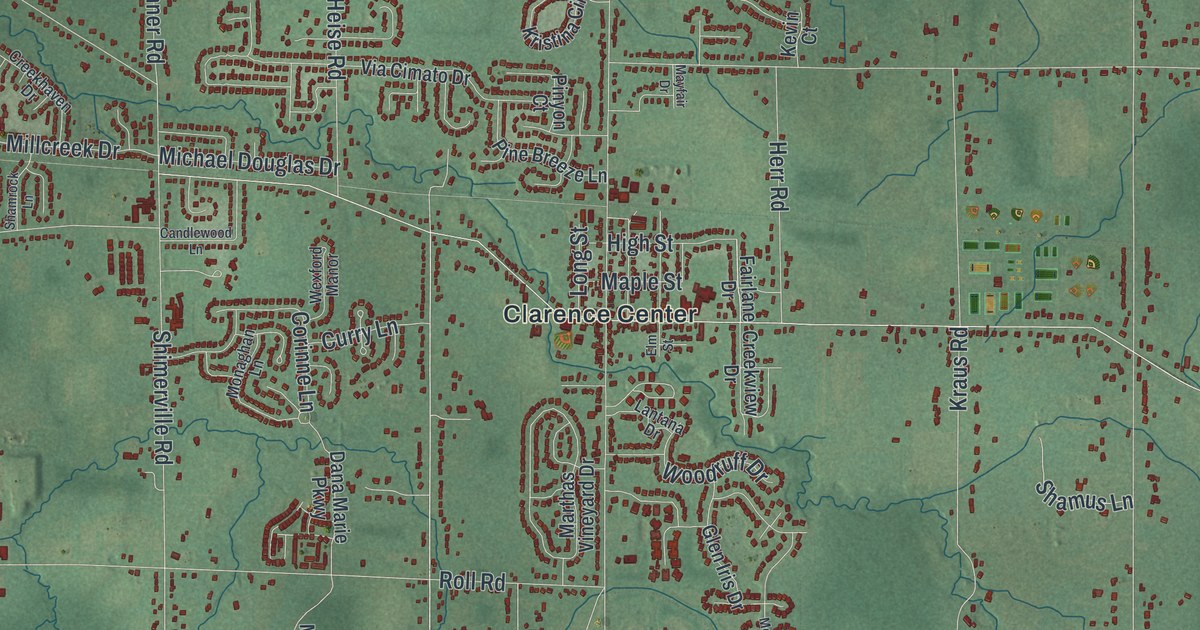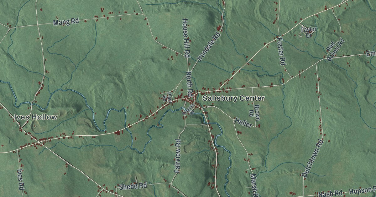
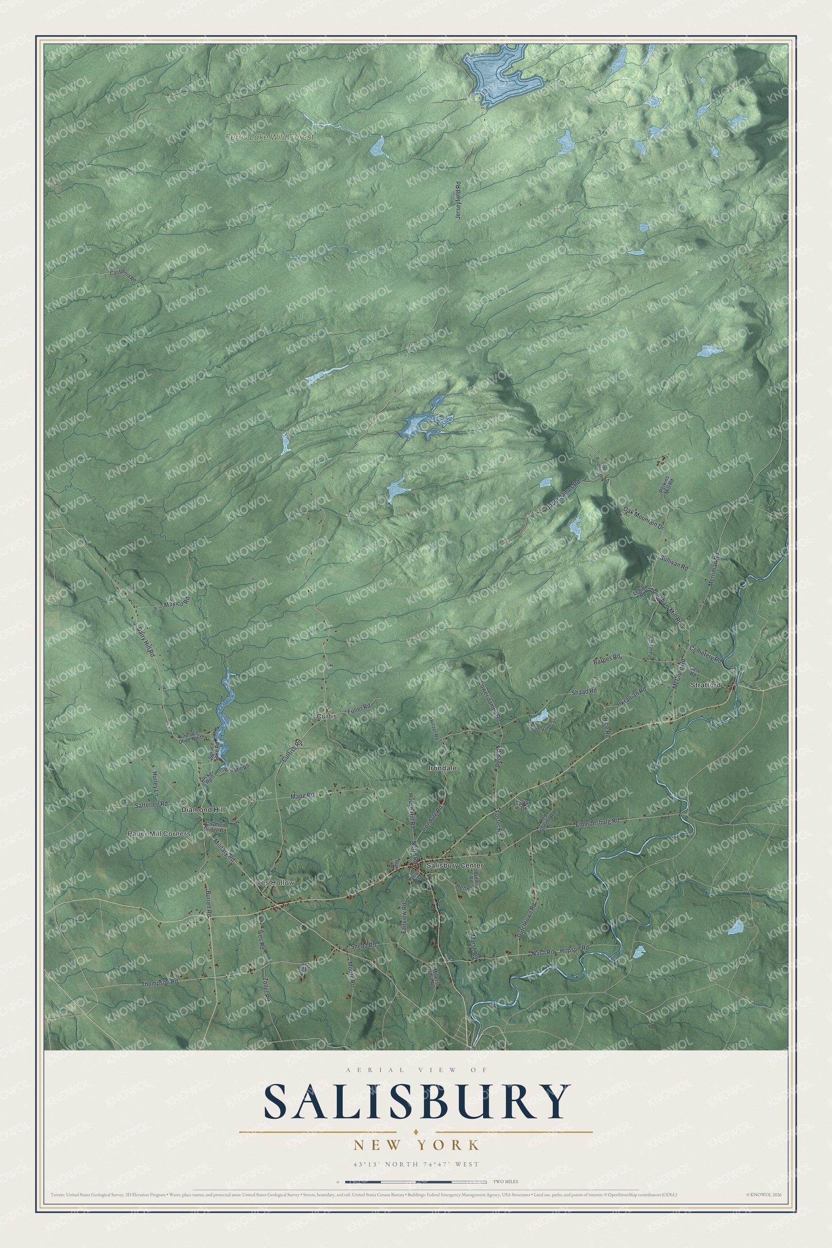
This beautifully detailed map of Salisbury, New York was created in 2026 using aerial imagery combined with modern topographical, census, street and landmark data. It’s a one-of-a-kind view of Salisbury that combines accurate data with a vintage aesthetic. The map shows every building in its true location, many of the roads carry their names, and the shaded topographic relief shows the shape of the land.
Explore an aerial view of Salisbury, New York
On the map you’ll find Ives Hollow, Paper Mill Corners, Curtis, Diamond Hill, Irondale, and Ferris Lake Wild Forest, along with Bingham Mill Road, Cemetery Road, Oak Mountain Drive, Military Road, Irondale Road, and more. If you look closely you can even find your house accurately drawn in its correct location. Zoom in on the preview to look for yours.
Did You Know?
The Salisbury Center Bridge was built in 1875. It is the only covered bridge in Herkimer County. The Burr truss span is 42 feet long and 16 feet wide, with board siding and a gable roof. It joined the National Register of Historic Places in 1972.
Take a closer look at the Salisbury map
Names on this map
These names are printed on this map.
Places: Ives Hollow, Paper Mill Corners, Ferris Lake Wild Forest, Curtis, Diamond Hill, Irondale, Salisbury Center and Stratford.
Streets and roads: Bingham Mill Road, Cemetery Road, Oak Mountain Drive, Military Road, Irondale Road, Mexico Road, Jerseyfield Road, Nash Road, Peck Road, Barnes Road, Dairy Hill Road, Emmonsburg Road.
More street names, A to Z
Brown Road, Burrell Road, California Road, Case Road, Covered Bridge Road, Curtiss Road, Daly Road, Dutchtown Road, Fairview Road, Foster Road, Fuller Road, Heller, Hopson Road, House Hill Road, Hurley Lane, Ives Road, Kingsley Road, Legion Road, Lower James Road, Mang Road, Marsh Road, McClure Road, Merriman Road, Millers Grove Road, Moore Road, North Road, Perkins Mill Road, Plant Road, Red Mill Road, Red School Road, Rice Road, Satterlee Road, Shaad Road, Shaver Road, Shedd Road, Spruce Drive North, Spruce Lake Road, Sullivan Road, Switzer Road, Taylor Drive, Thompson Road, Tucker Road, Ukranian Road, Upper Bungtown Road, Upper James Road, Winter Hawks Lane, Zoller Road.
See it on a wall
The Salisbury map as a framed print. Swipe for more.


This beautifully detailed map of Salisbury makes an attractive addition to your office, library, or den, and it can even be used to teach children the geography and history of the area. It also makes a great gift for anyone with Salisbury roots. When you’re done exploring, click here to get your copy of the Salisbury map.