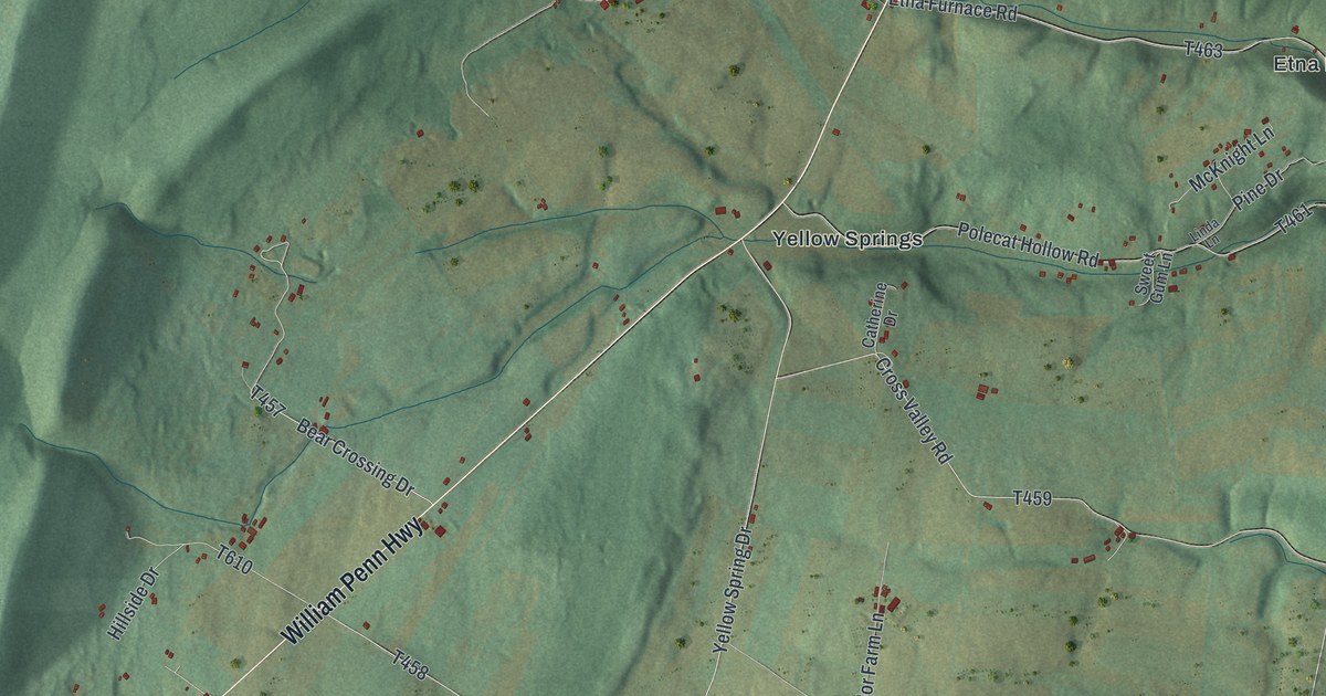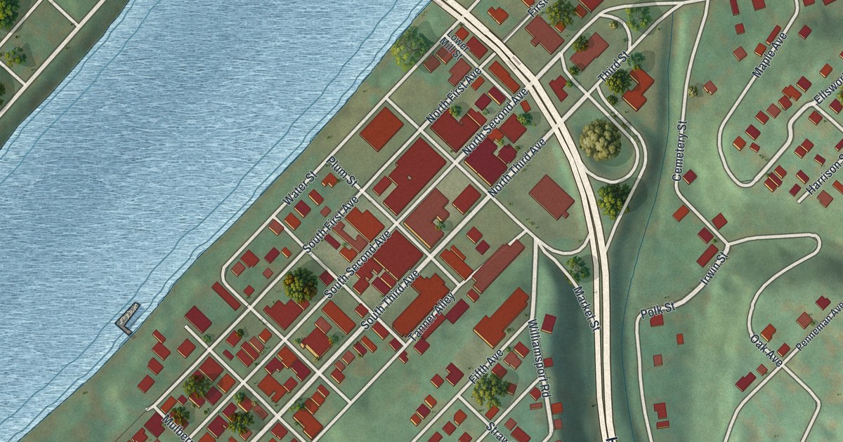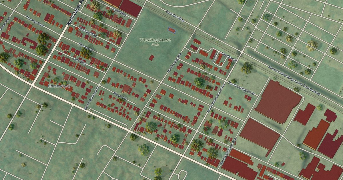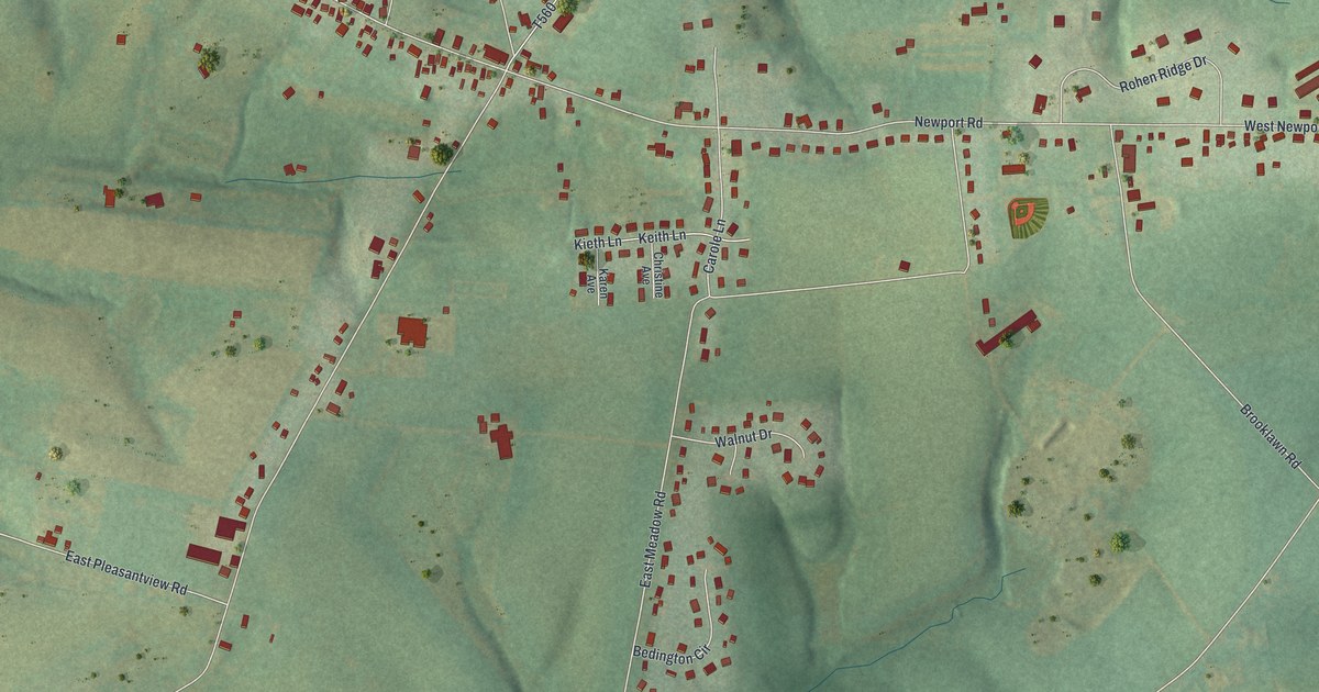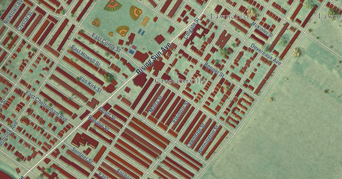
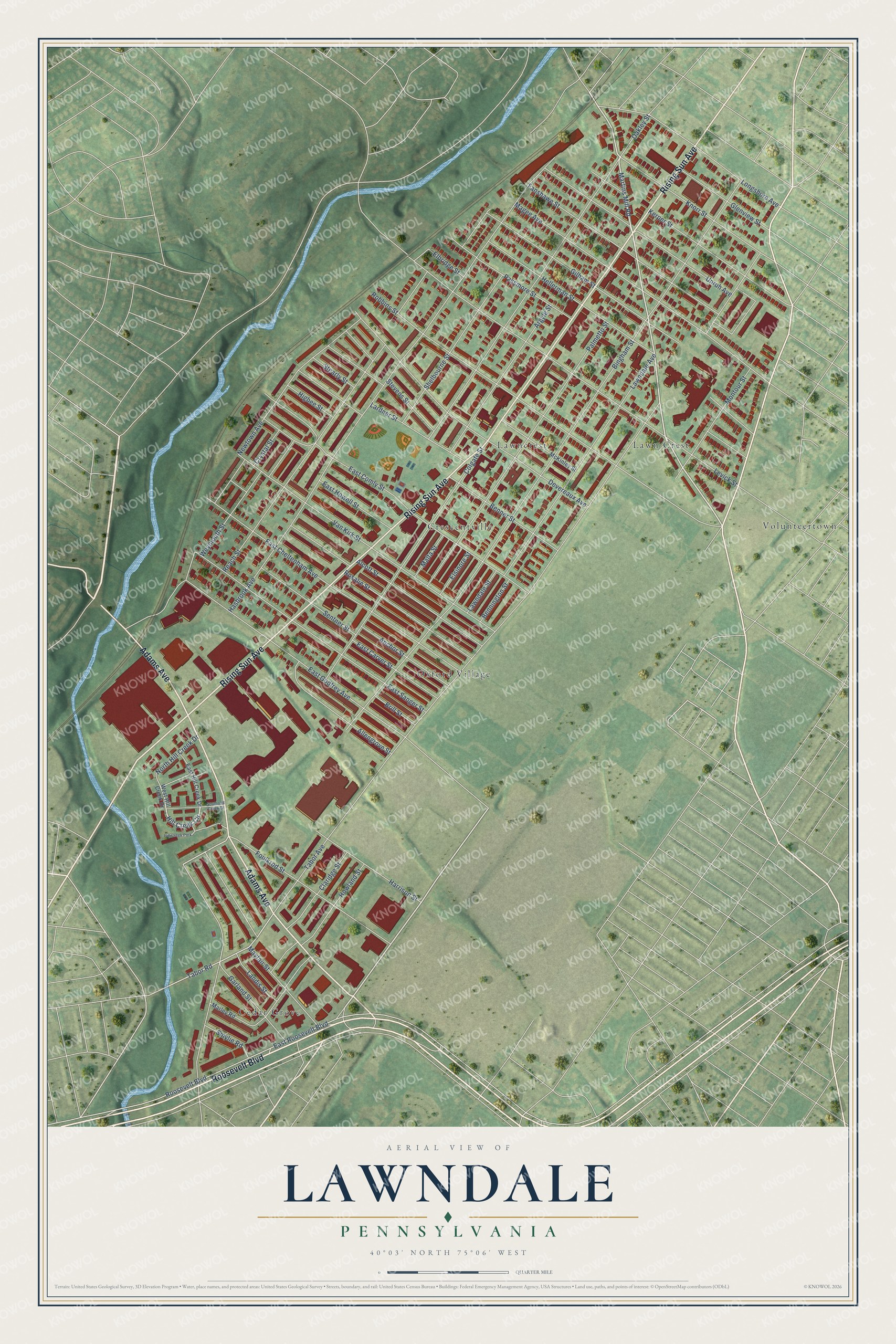
This beautifully detailed map of Lawndale, Pennsylvania was created in 2026 using aerial imagery combined with modern topographical, census, street and landmark data. It’s a one-of-a-kind view of Lawndale that combines accurate data with a vintage aesthetic. The map shows every building in its true location, many of the roads carry their names, and the shaded topographic relief shows the shape of the land.
Explore an aerial view of Lawndale, Pennsylvania
On the map you’ll find Oxford Village, Cedar Grove, Lawn Crest, Crescentville, and Volunteertown, along with Rising Sun Avenue, Adams Avenue, Roosevelt Boulevard, Martins Mill Road, Hill Creek Circle, Bingham Street, and more. If you look closely you can even find your house accurately drawn in its correct location. Zoom in on the preview to look for yours.
Take a closer look at the Lawndale map
Names on this map
These names are printed on this map.
Places: Oxford Village, Cedar Grove, Lawn Crest, Crescentville, Lawncrest, Volunteertown and Hill Creek Park.
Streets and roads: Rising Sun Avenue, Adams Avenue, Roosevelt Boulevard, Martins Mill Road, Hill Creek Circle, Bingham Street, Tabor Road, Hasbrook Avenue, Newtown Avenue, Levick Street, Oakley Street, East Comly Street.
More street names, A to Z
Alcott Street, Allengrove Street, Anchor Street, Argyle Street, Benner Street, Bennington Street, Brill Street, Claridge Street, Colgate Street, Crystal Street, Devereaux Avenue, East Carver Street, East Cheltenham Avenue, East Godfrey Avenue, East Hill Creek Drive, East Howell Street, East Roosevelt Boulevard, East Sanger Street, Elbridge Street, Elsinore Street, Fanshawe Street, Foulkrod Street, Garland Street, Gilham Street, Glenview Street, Harrison Street, Hellerman Street, Higbee Street, Howland Street, Kerper Street, Knorr Street, Landis Street, Lardner Street, Lawndale Avenue, Lawndale Street, Longshore Avenue, Magee Avenue, Malta Street, Marley Road, Mayfair Street, McKinley Street, Montour Street, North Hill Creek Drive, Palmetto Street, Passmore Street, Reach Street, Robbins Street, Rosalie Street, Sentner Street, Shelbourne Street, Smylie Road, South Hill Creek Drive, Stearly Street, Stevens Street, Tabor Avenue, Unruh Avenue, Van Kirk Street, West Hill Creek Drive, Weymouth Street.
See it on a wall
The Lawndale map as a framed print. Swipe for more.


This beautifully detailed map of Lawndale makes an attractive addition to your office, library, or den, and it can even be used to teach children the geography and history of the area. It also makes a great gift for anyone with Lawndale roots. When you’re done exploring, click here to get your copy of the Lawndale map.