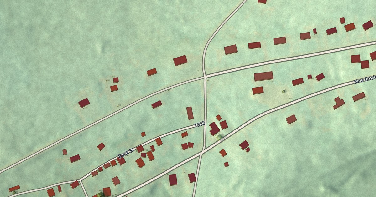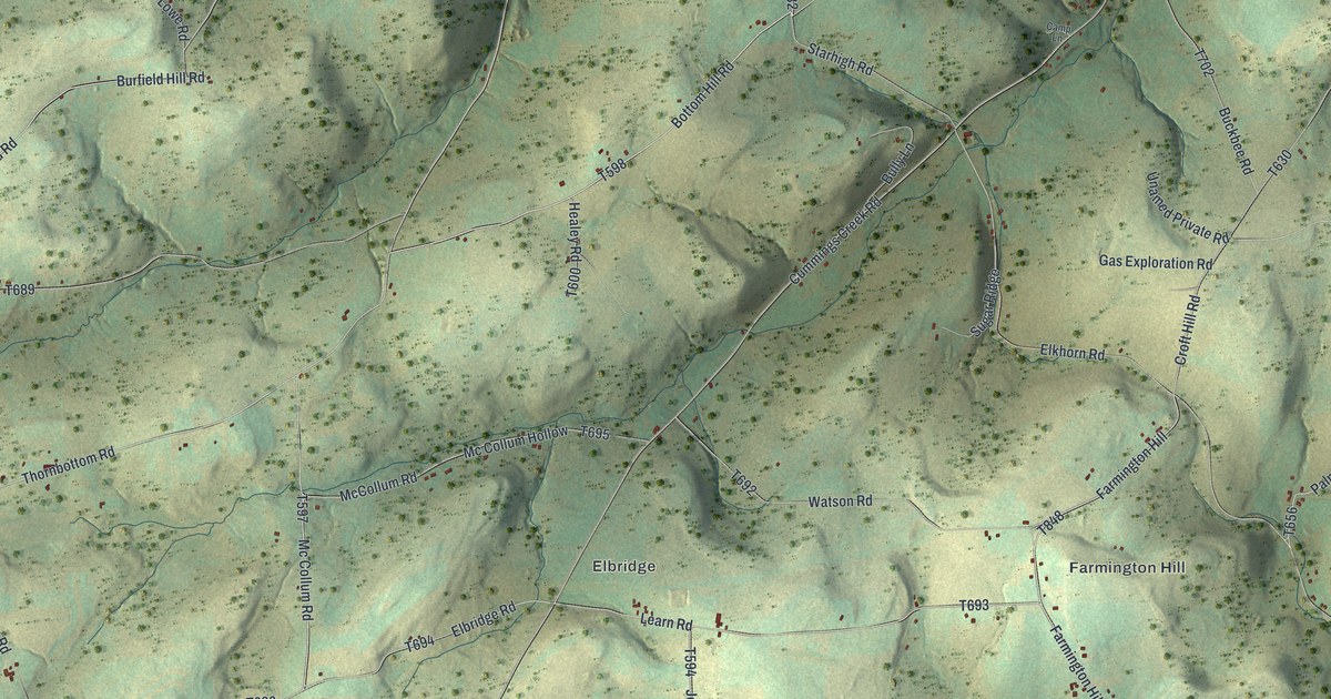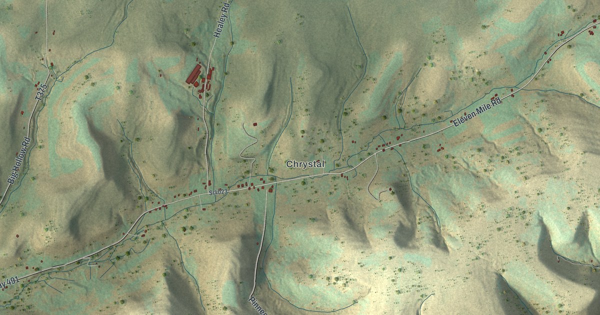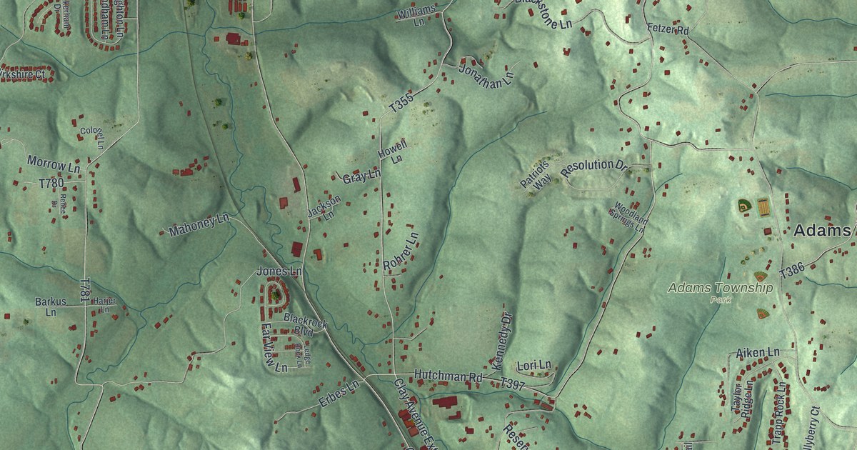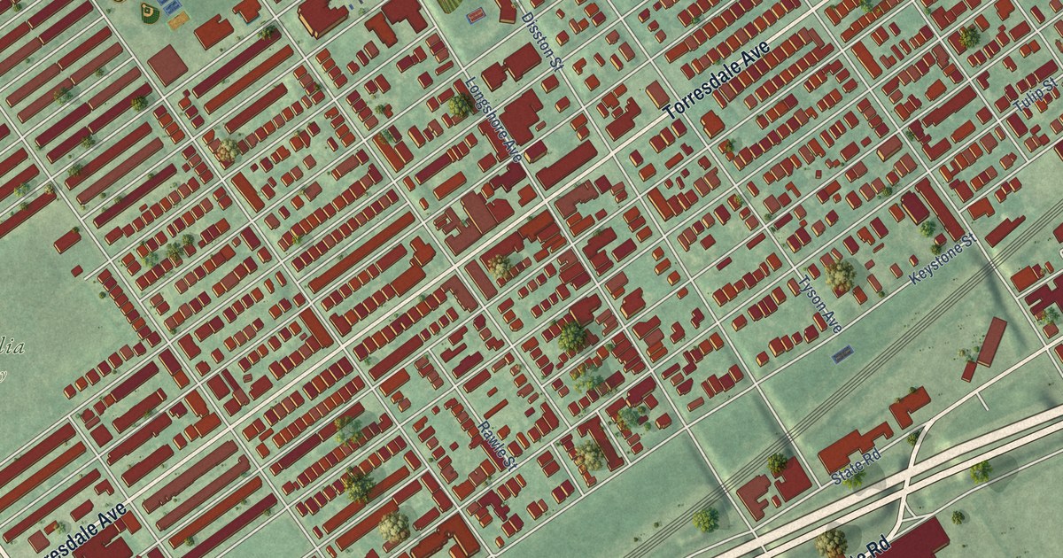
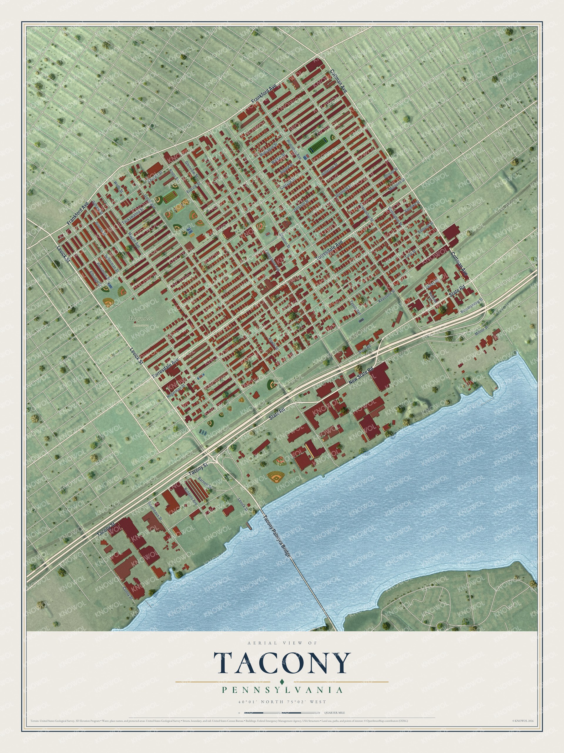
This beautifully detailed map of Tacony, Pennsylvania was created in 2026 using aerial imagery combined with modern topographical, census, street and landmark data. It’s a one-of-a-kind view of Tacony that combines accurate data with a vintage aesthetic. The map shows every building in its true location, many of the roads carry their names, and the shaded topographic relief shows the shape of the land.
Explore an aerial view of Tacony, Pennsylvania
On the map you’ll find Disston Park, Magnolia Cemetery, and Tacony Palmyra Bridge, along with Levick Street, State Road, New State Road, Tacony Street, Torresdale Avenue, Frankford Avenue, Cottman Avenue, Milnor Street, Unruh Avenue, and more. If you look closely you can even find your house accurately drawn in its correct location. Zoom in on the preview to look for yours.
Did You Know?
From Internet Archive: "Upon the Tacony creek which skirts it on the W. and S. are several valuable grist and saw mills, and an extensive calico printing works, established by Samuel Comly."
Tacony is a place in Philadelphia County.
Take a closer look at the Tacony map
Names on this map
These names are printed on this map.
Places: Disston Park and Magnolia Cemetery.
Streets and roads: Levick Street, Tacony Palmyra Bridge, State Road, New State Road, Tacony Street, Torresdale Avenue, Frankford Avenue, Cottman Avenue, Milnor Street, Unruh Avenue, Princeton Avenue, Cottage Street.
More street names, A to Z
Algard Street, Barnett Street, Charles Street, Comly Street, Devereaux Street, Disston Street, Ditman Street, Edmund Street, Elbridge Street, Erdrick Street, Friendship Street, Gilham Street, Gillespie Street, Glenloch Street, Glenview Street, Greeby Street, Hegerman Street, Hellerman Street, Jackson Street, James Street, Keystone Street, Knorr Street, Longshore Avenue, Magee Avenue, Marsden Street, Montague Street, National Street, Passmore Street, Rawle Street, Robbins Avenue, Tackawanna Street, Tulip Street, Tyson Avenue, Vandike Street, Walker Street, Wellington Street, Wells Street, Wissinoming Street.
See it on a wall
The Tacony map as a framed print. Swipe for more.


This beautifully detailed map of Tacony makes an attractive addition to your office, library, or den, and it can even be used to teach children the geography and history of the area. It also makes a great gift for anyone with Tacony roots. When you’re done exploring, click here to get your copy of the Tacony map.