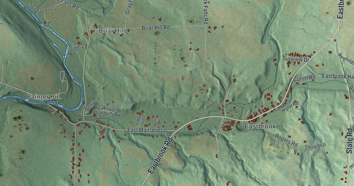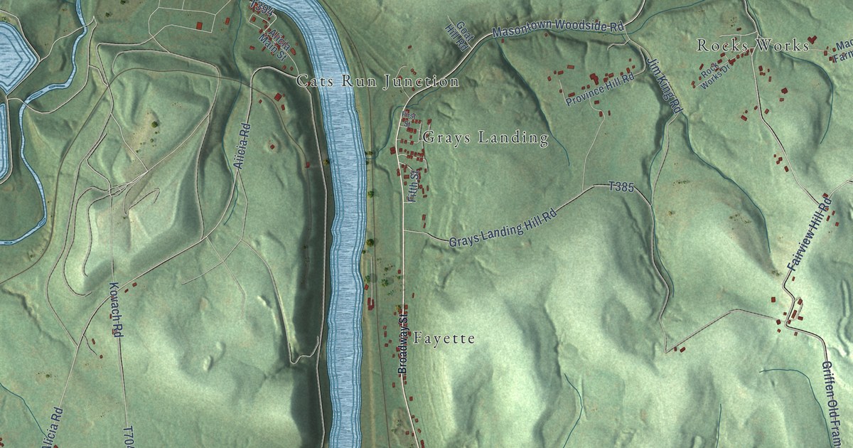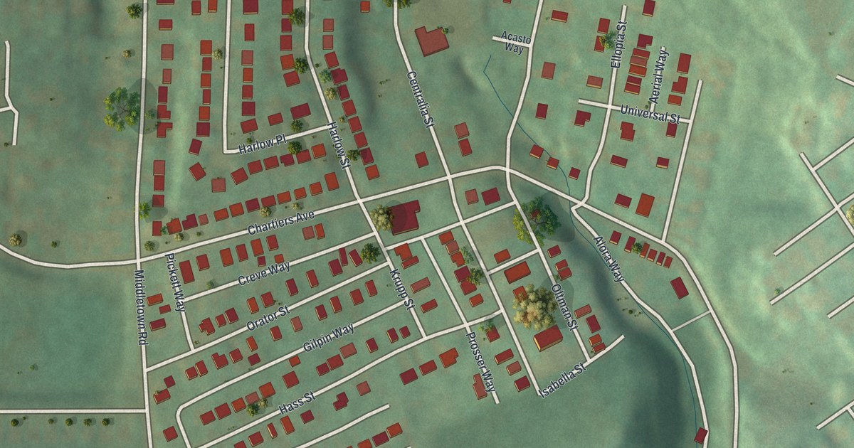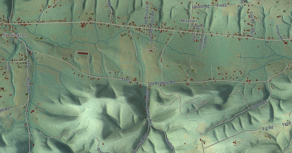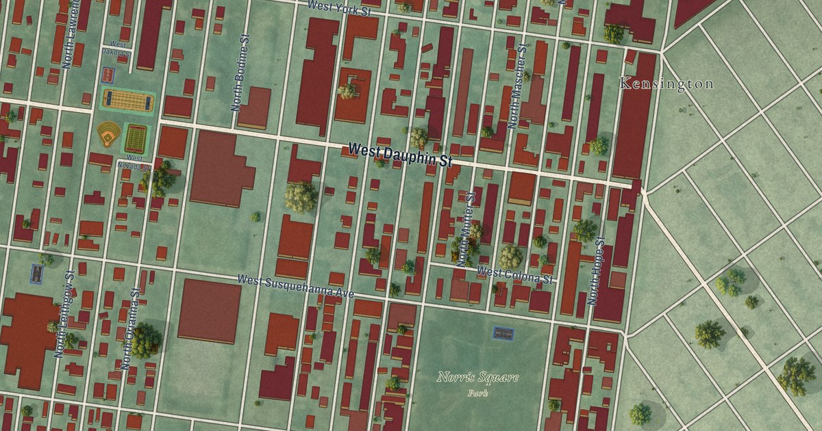
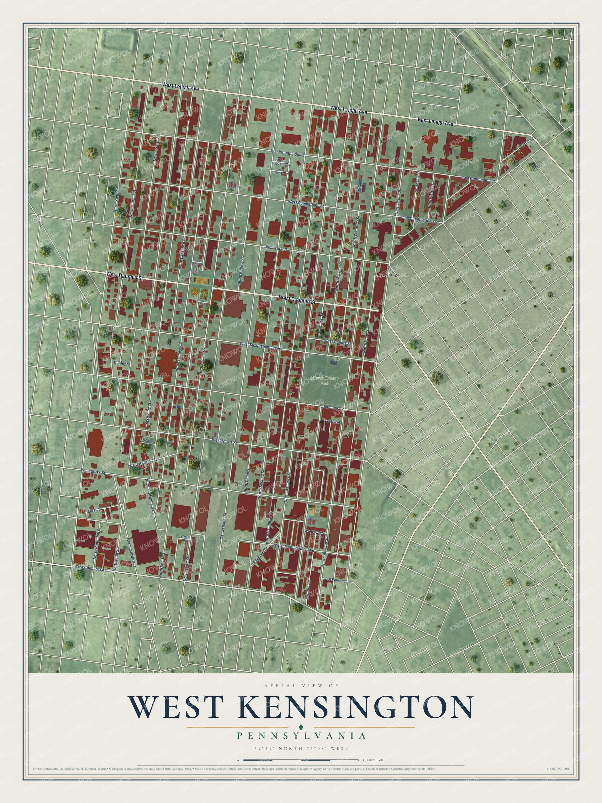
This beautifully detailed map of West Kensington, Pennsylvania was created in 2026 using aerial imagery combined with modern topographical, census, street and landmark data. It’s a one-of-a-kind view of West Kensington that combines accurate data with a vintage aesthetic. The map shows every building in its true location, many of the roads carry their names, and the shaded topographic relief shows the shape of the land.
Explore an aerial view of West Kensington, Pennsylvania
On the map you’ll find Norris Square Park and Kensington, along with West Dauphin Street, West Lehigh Avenue, East Lehigh Avenue, North Howard Street, North Third Street, Cadwallader Street, North Second Street, North Hancock Street, North Fifth Street, North Fourth Street, and more. If you look closely you can even find your house accurately drawn in its correct location. Zoom in on the preview to look for yours.
Did You Know?
From Internet Archive: "In 1854, the Trustees By-laws were approved and adopted by special Church Meetings, and. as before stated, were, on February 18, 1855, ordered to be printed in pamphlet form in connection with Rules and Regulations for Church Government together with the Constitution of the Philadelphia Bible-Christian Church, North Third Street, West Kensington."
West Kensington is a place in Philadelphia County.
Take a closer look at the West Kensington map
Names on this map
These names are printed on this map.
Places: Norris Square Park and Kensington.
Streets and roads: West Dauphin Street, West Lehigh Avenue, East Lehigh Avenue, North Howard Street, North Third Street, Cadwallader Street, North Second Street, North Hancock Street, North Fifth Street, North Fourth Street, North Palethorp Street, North Mascher Street.
More street names, A to Z
Arlington Street, Diamond Street, East Cumberland Street, East Huntingdon Street, Edgley Street, Fontain Street, Germantown Avenue, Morse Street, North Bodine Street, North Cadwallader Street, North Fairhill Street, North Front Street, North Hope Street, North Lawrence Street, North Lee Street, North Leithgow Street, North Mutter Street, North Orianna Street, North Orkney Street, North Philip Street, North Randolph Street, North Reese Street, North Sixth Street, North Waterloo Street, North Water Street, Orhan Street, Potter Street, Tilghman Street, Waterloo Street, West Berks Street, West Colona Street, West Columbia Avenue, West Cumberland Street, West Dakota Street, West Hazzard Street, West Hewson Street, West Huntingdon Street, West Montgomery Avenue, West Nevada Street, West Norris Street, West Palmer Street, West Sergeant Street, West Susquehanna Avenue, West Wilt Street, West York Street.
See it on a wall
The West Kensington map as a framed print. Swipe for more.


This beautifully detailed map of West Kensington makes an attractive addition to your office, library, or den, and it can even be used to teach children the geography and history of the area. It also makes a great gift for someone who left West Kensington and still calls it home. When you’re done exploring, click here to get your copy of the West Kensington map.