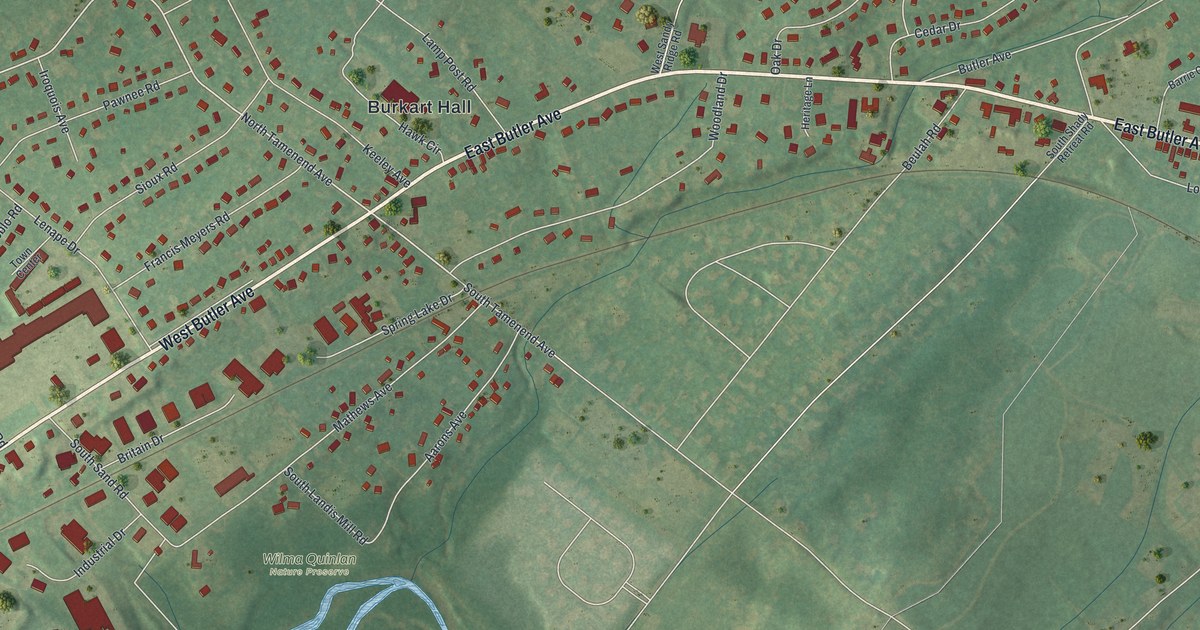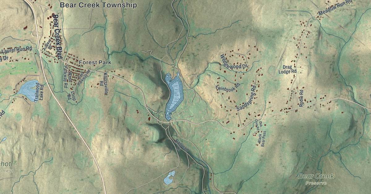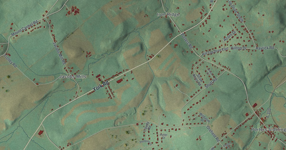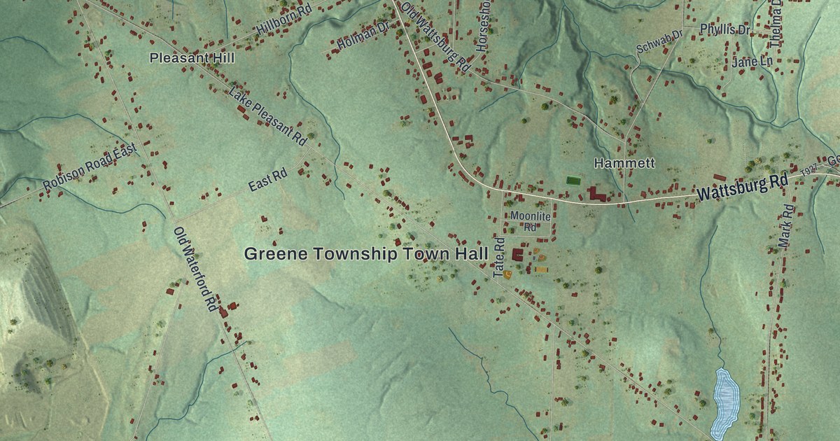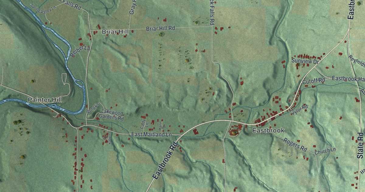
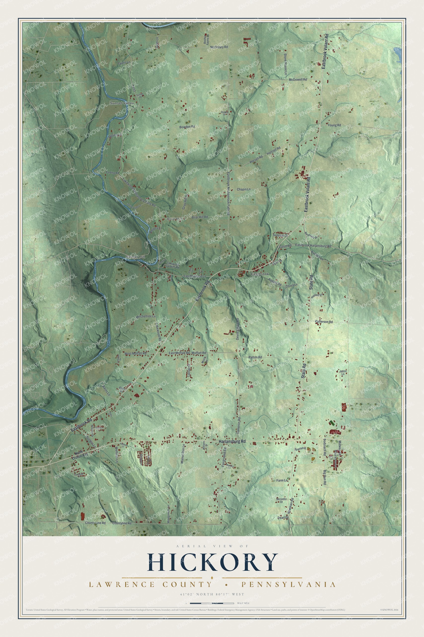
This beautifully detailed map of Hickory, Lawrence County, Pennsylvania was created in 2026 using aerial imagery combined with modern topographical, census, street and landmark data. It's a modern aerial view of Hickory, Lawrence County in Lawrence County, Pennsylvania, that combines modern data with a vintage aesthetic. The roads feature printed names, and if you look closely you can find your exact house accurately shown in its correct location.
Explore an aerial view of Hickory, Lawrence County, Pennsylvania
On this map you'll find Briar Hill, Eastbrook, Painter Hill, Sunset Valley, Eastbrook Road, Eastbrook Volant Road, State Road, Harlansburg Road, East Moffatt Road, Eastbrook Harlansburg Road, Cutoff Road, Devils Elbow Road, and more. Each red shape is a building, so zoom in on the preview and look for yours.
Here is a piece of Hickory, Lawrence County history, in the words of the record. The Internet Archive puts it this way: "About 1815-16 a school-house was built near the south line of what is now Hickory township, on the road running south from Neshannock United Presbyterian Church."
Hickory, Lawrence County is a place in Lawrence County. The Census Bureau counted 2,320 people here in 2020.
Take a closer look at the Hickory, Lawrence County map
Names on this map
These names are printed on this map.
Places: Briar Hill, Eastbrook, Painter Hill and Sunset Valley.
Streets and roads: Eastbrook Road, Eastbrook Volant Road, State Road, Harlansburg Road, East Moffatt Road, Eastbrook Harlansburg Road, Cutoff Road, Devils Elbow Road, West Moffatt Road, Hunters Lane, Lakewood Neshannock Falls Road, Eastbrook Neshannock Falls Road.
More street names, A to Z
Algoma Lane, Auction Lane, Audia Drive, Baker Drive, Barns Lane, Big Run Road, Bodziach Road, Booher Farms Lane, Bowden Road, Briar Hill Road, Byler Lane, Caldy Lane, Cameron Road, Carlsbad Place, Chapin Lane, Church Lane, Continental Lane, County Line Road, Countyline Road, Drespling Lane, East Maitland Lane, Fairground Road, Farm Lane, Fording Road, Gallaher Lane, Gray Hill Lane, Griffith Drive, Hartzell Road, Harvest Lane, Harzell Road, Hickory Drive, Justin Lane, Laclair Drive, Lakewood Gardens Road, Lakewood Road, Lemack Lane, Livestock Alley, Lockhart Drive, Lucky Lane, Lyons Lane, Mazur Lane, McCreary Road, McDowell Road, Midway Road, Misco Lane, Mitcheltree Lane, Moffatt Road, Montgomery Lane, Newman Road, North Croton Avenue, Patterson Road, Patton Road, Pearl Drive, Reiber Lane, Reynolds Drive, Rogers Road, Rung Lane, Servedio Drive, Spartan Drive, Spring Valley Lane, Stickle Drive, Stone House Lane, Sunview Drive, Taylor Road, Village Lane, Walnut Run Lane, Walters Lane, Wellman Lane, Williams Drive, Young Road.
Created by KNOWOL in 2026. The buildings are small red shapes, the roads carry their printed names, and shaded relief shows the shape of the land. The title panel reads "AERIAL VIEW OF HICKORY LAWRENCE COUNTY • PENNSYLVANIA" with 4, 1, °, 0, 2, ', , N, O, R, T, H, , 8, 0, °, 1, 7, ', , W, E, S, T.
It suits a den, a classroom or a front hall, and it makes a gift for anyone with Hickory, Lawrence County roots. Open the preview and find the block you know. See sizes and frames for the Hickory, Lawrence County map.