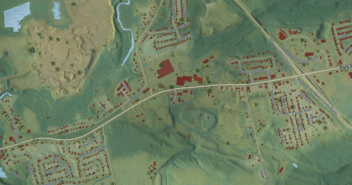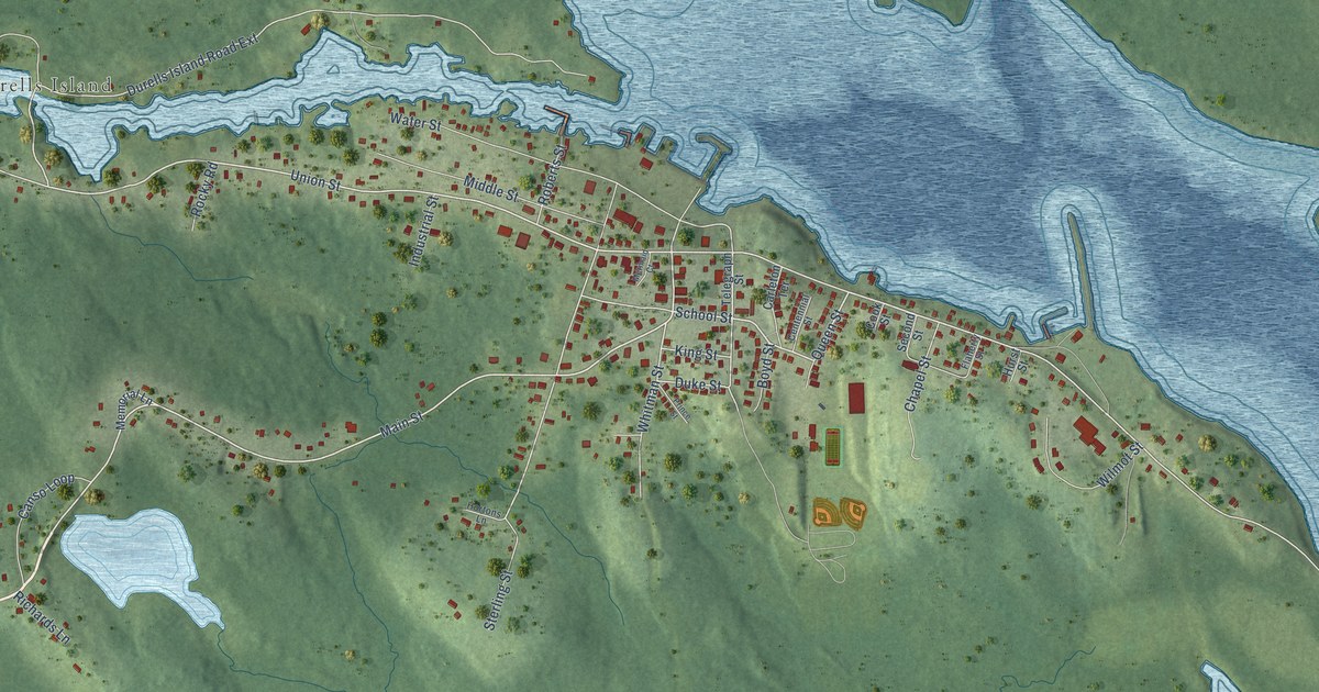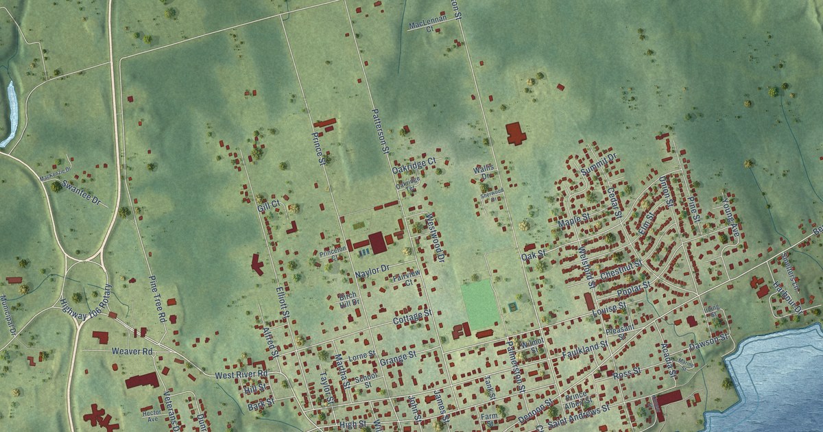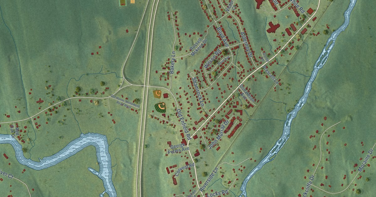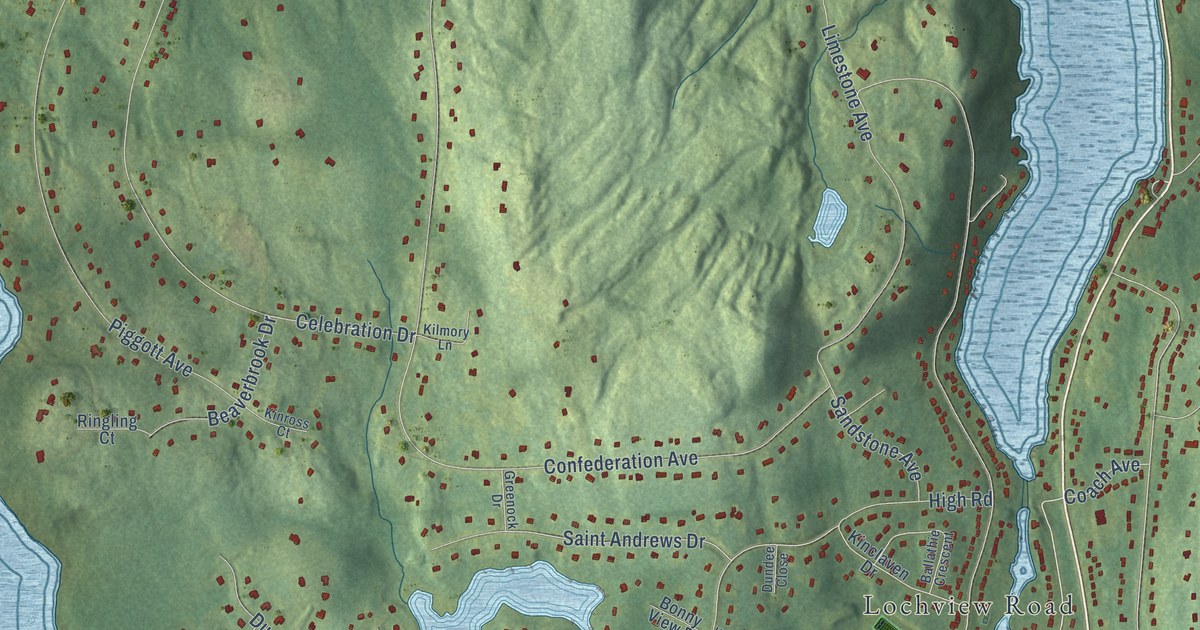
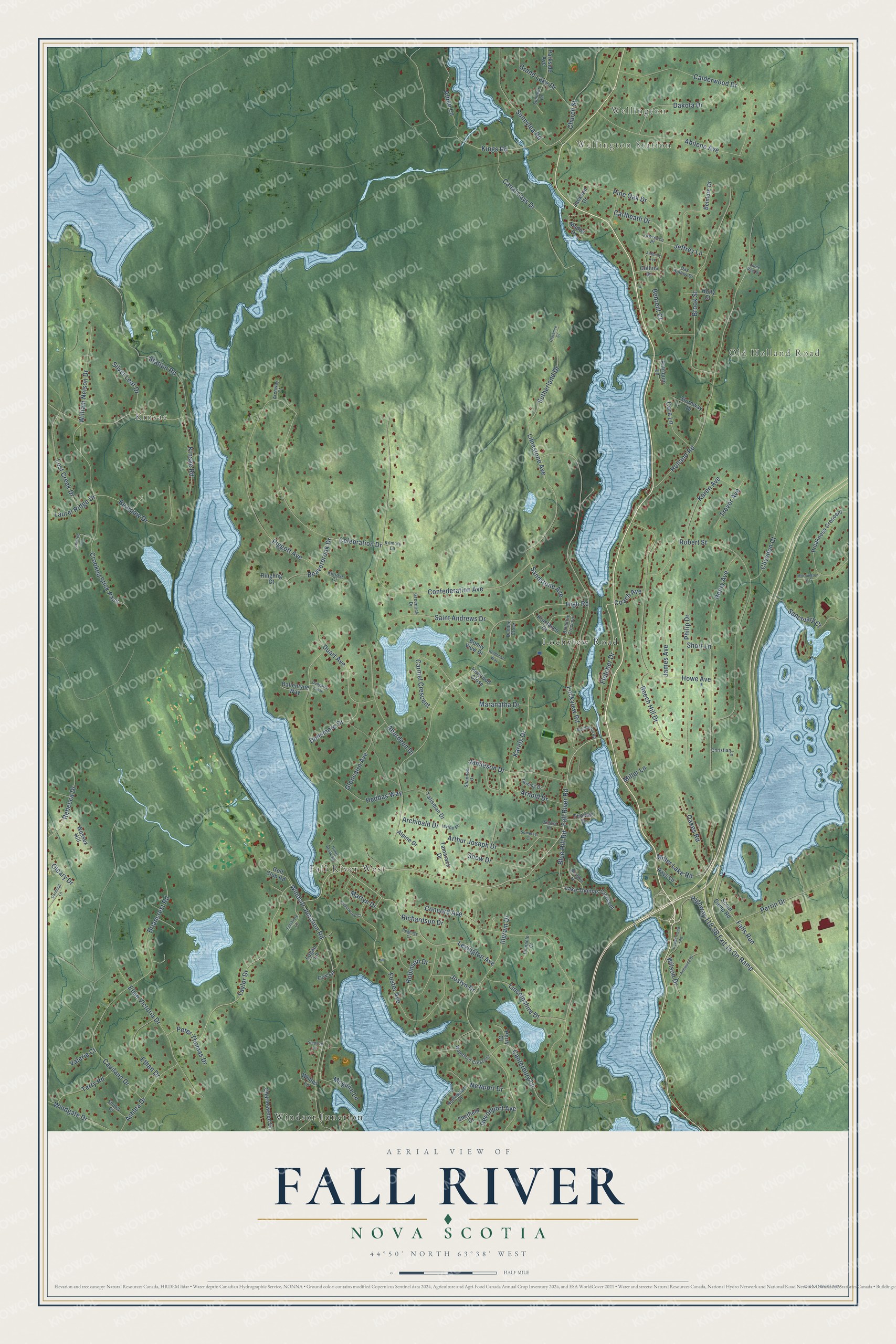
This beautifully detailed map of Fall River, Nova Scotia was created in 2026 using aerial imagery combined with modern topographical, census, street and landmark data. It’s a one-of-a-kind view of Fall River that combines accurate data with a vintage aesthetic. The map shows every building in its true location, many of the roads carry their names, and the shaded topographic relief shows the shape of the land.
Explore an aerial view of Fall River, Nova Scotia
On the map you’ll find Wellington, Wellington Station, Kinsac, Windsor Junction, and Fall River West, along with Old Holland Road, Lochview Road, Fall River Road, Fletcher Drive, Richardson Drive, Lockview Road, Sunnylea Road, and more. If you look closely you can even find your house accurately drawn in its correct location. Zoom in on the preview to look for yours.
Take a closer look at the Fall River map
Names on this map
These names are printed on this map.
Places: Wellington, Wellington Station, Old Holland Road, Kinsac, Windsor Junction, Fall River West and Lochview Road.
Streets and roads: Fall River Road, Fletcher Drive, Richardson Drive, Lockview Road, Sunnylea Road, Windsor Junction Road, Arthur Joseph Drive, Kings Road, Taylor Drive, Lexington Avenue, Peter Thomas Drive, Coach Avenue.
More street names, A to Z
Aberdeen Drive, Abilene Avenue, Alben Lane, Alpine Drive, Anthony Avenue, Archibald Drive, Archway Court, Arnold Drive, Ashlea Drive, Ashwood Drive, Ballathie Crescent, Ballentyne Way, Bearpaw Drive, Beaverbrook Drive, Beech Hill Drive, Behrent Court, Belmore Drive, Blue Hill Road, Bonny View Drive, Briancrest Road, Brook Street, Calderwood Drive, Canal Cays Drive, Canterbury Lane, Capilano Drive, Cardinal Lane, Carlheath Drive, Carmel Crescent, Cedarwood Court, Celebration Drive, Charleswood Drive, Christian Lane, Church Street, Clarence Court, Clivedon Court, Collins Drive, Concord Avenue, Confederation Avenue, Copperhead Road, Cora Lane, Cox Lane, Crooked Stick Pass, Dakota Drive, Day Hollow Drive, Devonport Avenue, Duart Avenue, Dundee Close, Dungarry Close, Dunsmore Drive, Elise Victoria Drive, Ethan Drive, Falls Run, Fenimore Lane, Foster Avenue, Glencairn Avenue, Golf Club Road, Grand Lake Drive, Greenock Drive, Heddas Way, Henry Avenue, High Road, Highway 118 SB Exit 14 On Ramp, Holland Road, Holly Court, Holyrood Close, Horobin Drive, Howe Avenue, Hunts Brook Road, Ingram Drive, Irvine Place, Jackson Drive, James Avenue, Jamieson Drive, Jeffrey Lane, Joslyn Drive, Karels Drive, Karen Avenue, Keldonan Way, Kilmory Lane, Kinclaven Drive, Kinross Court, Kinsac Road, Lake Thomas Crescent, Laurel Ridge Drive, Lawrence Place, Limestone Avenue, Lincolnshire Drive, Logan Lane, Lonetree Lane, Lorne Paul Drive, Lost Creek Drive, Mados Drive, Maranatha Drive, Martyn Drive, Mcguire Lane, Mcpherson Road, Miller Lake Road, Miller Lane, Mornington Court, Newport Drive, Nottingham Lane, Oakes Road, Oleary Drive, Parkside Avenue, Patriquin Lane, Perrin Drive, Perry Court, Philip Drive, Piggott Avenue, Pine Oak Drive, Pinnacle Court, Preakness Crescent, Rays Lane, Rebecca Drive, Regency Court, Ringling Court, Robert Street, Robinson Drive, Roland Road, Saint Andrews Drive, Sanctuary Court, Sandstone Avenue, Scout Camp Road, Shannon Drive, Sheffield Court, Shirley Court, Short Lane, Silver Leaf Drive, Snow Drive, Somerset Court, Station Road, Stephen Lane, Stornway Drive, Summer Lane, Sutherland Drive, Talisman Drive, Tamarack Drive, Terry Road, Thomas Drive, Trevor Avenue, Twining Drive, Valerie Court, Waterford Crescent, Wessex Hill, Whites Lane, William Nelson Drive, Wilson Drive, Windgate Drive.
See it on a wall
The Fall River map as an 18 x 24 inch print in a black frame.

This beautifully detailed map of Fall River makes an attractive addition to your office, library, or den, and it can even be used to teach children the geography and history of the area. It also makes a great gift for someone who left Fall River and still calls it home. When you’re done exploring, click here to get your copy of the Fall River map.