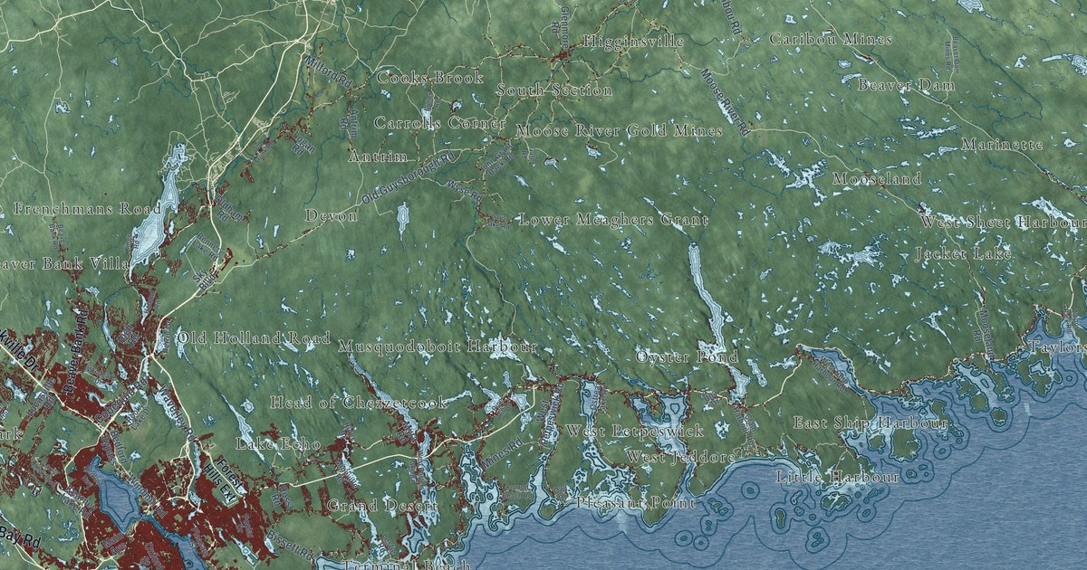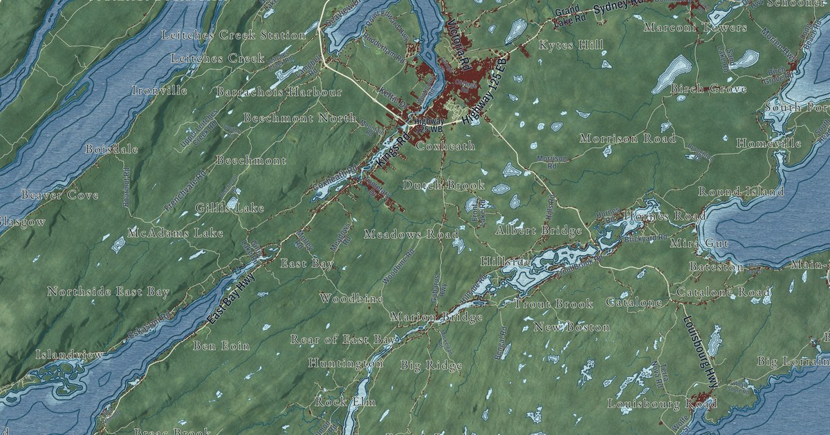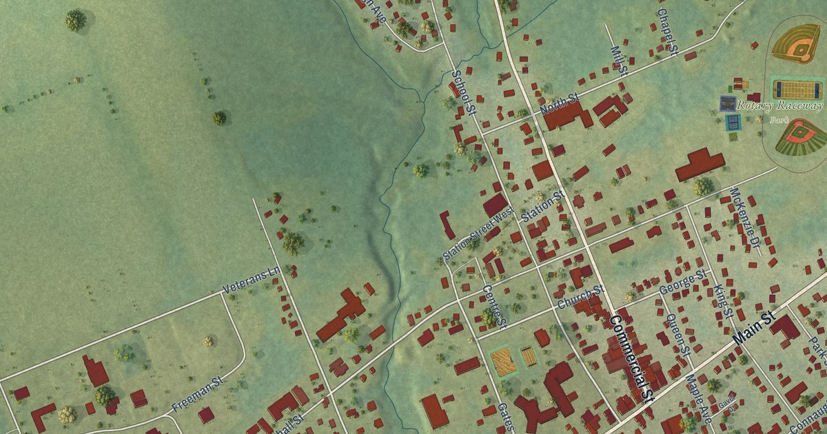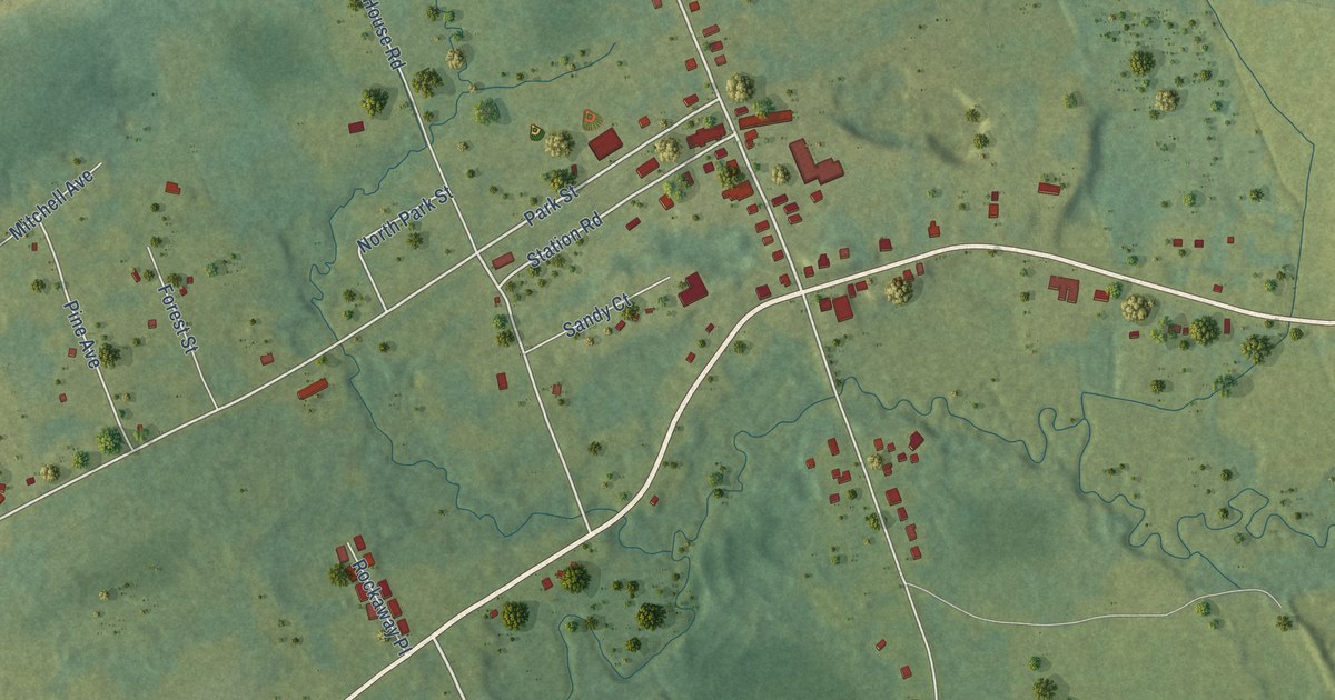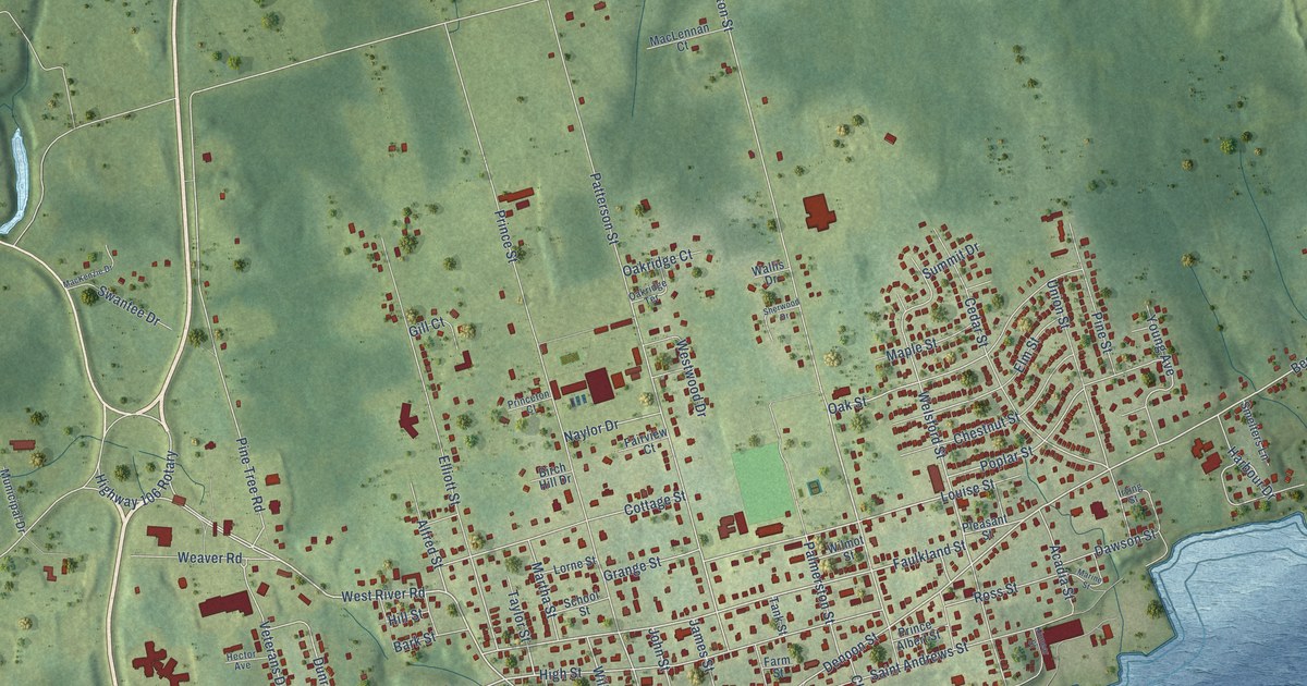
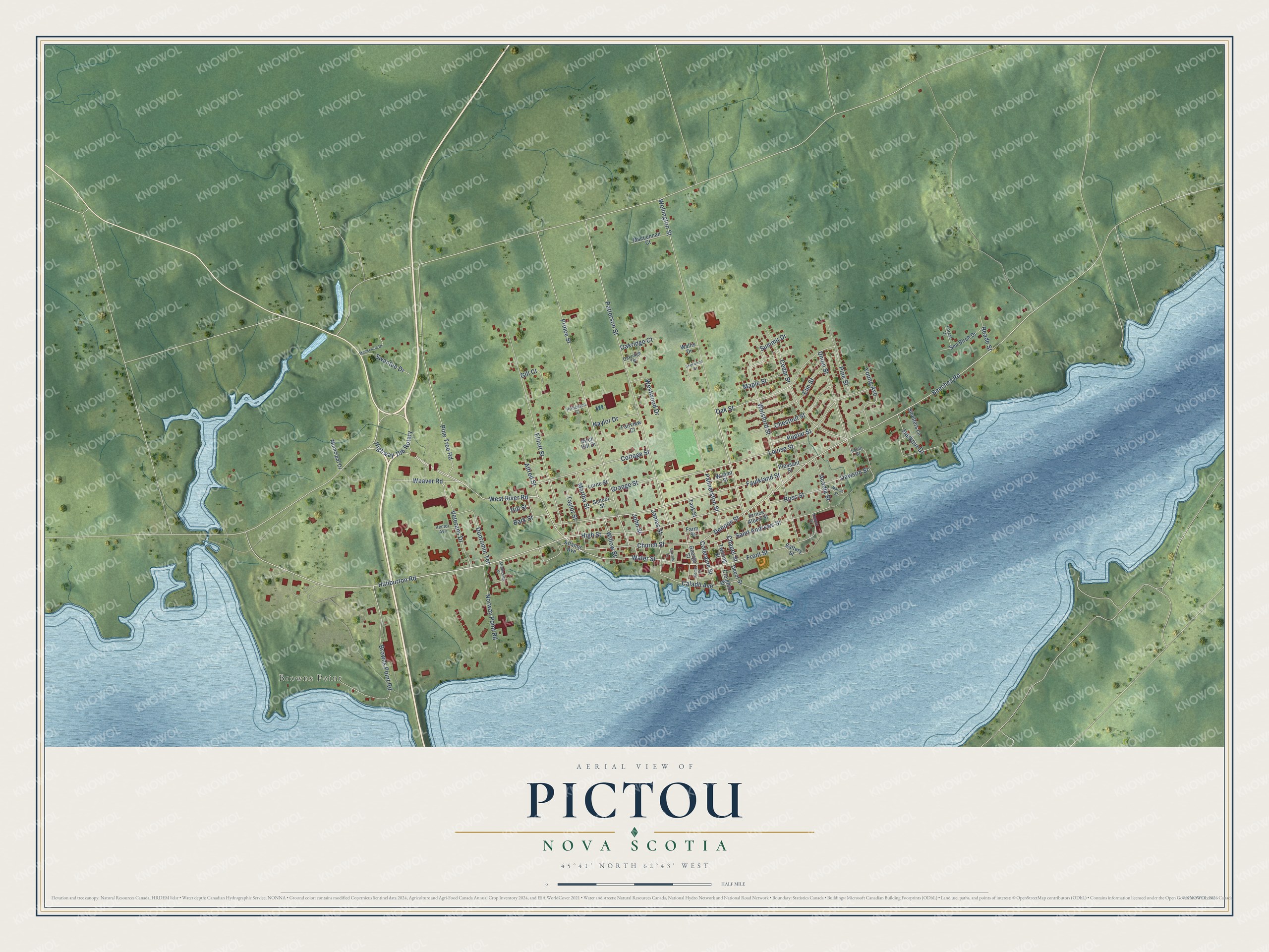
This beautifully detailed map of Pictou, Nova Scotia was created in 2026 using aerial imagery combined with modern topographical, census, street and landmark data. It’s a one-of-a-kind view of Pictou that combines accurate data with a vintage aesthetic. The map shows every building in its true location, many of the roads carry their names, and the shaded topographic relief shows the shape of the land.
Explore an aerial view of Pictou, Nova Scotia
On the map you’ll find Browns Point, along with Haliburton Road, West River Road, Faulkland Street, Beeches Road, High Street, Taylor Street, Denoon Street, Louise Street, Patterson Street, Welsford Street, Wellington Street, and more. If you look closely you can even find your house accurately drawn in its correct location. Zoom in on the preview to look for yours.
Take a closer look at the Pictou map
Names on this map
These names are printed on this map.
Places: Browns Point.
Streets and roads: Haliburton Road, West River Road, Faulkland Street, Beeches Road, High Street, Taylor Street, Denoon Street, Louise Street, Patterson Street, Welsford Street, Wellington Street, Oak Street.
More street names, A to Z
Acadia Street, Alfred Street, Atlantic Avenue, Bark Street, Battery Street, Birch Hill Drive, Browns Point Road, Caladh Avenue, Carrols Lane, Cedar Street, Chapel Street, Chestnut Street, Church Street, Coleraine Street, Cottage Street, Creighton Street, Dawson Street, Depot Street, Dunromin Terrace, Elliott Street, Elm Street, Fairview Court, Farm Street, Forest Drive, Front Street, George Street, Gill Court, Grange Street, Harbour Drive, Hector Avenue, Highway 106 Rotary, Hill Street, Irving Street, James Street, John Street, Kempt Street, Kinnear Street, Lorne Street, MacKenzie Drive, MacLennan Court, Maple Street, Marine Street, Martha Street, Municipal Drive, Naylor Drive, Norway Point Road, Oakridge Court, Oakridge Terrace, Palmerston Street, Pine Street, Pine Tree Road, Pleasant Street, Poplar Street, Prince Albert Street, Prince Street, Princeton Court, Reade Street, Ross Street, Saint Andrews Street, School Street, Sea Birch Drive, Sherwood Drive, Smelters Lane, Strathcona Place, Summit Drive, Swantee Drive, Tank Street, Twining Street, Union Street, Veterans Drive, Wallis Drive, Water Street, Weaver Road, Westwood Drive, Willow Street, Wilmot Street, Young Avenue.
See it on a wall
The Pictou map as an 18 x 24 inch print in a black frame.

This beautifully detailed map of Pictou makes an attractive addition to your office, library, or den, and it can even be used to teach children the geography and history of the area. It also makes a great gift for anyone who grew up in Pictou or moved away. When you’re done exploring, click here to get your copy of the Pictou map.