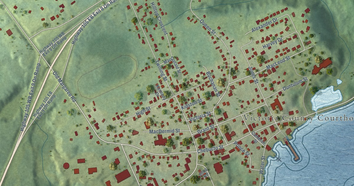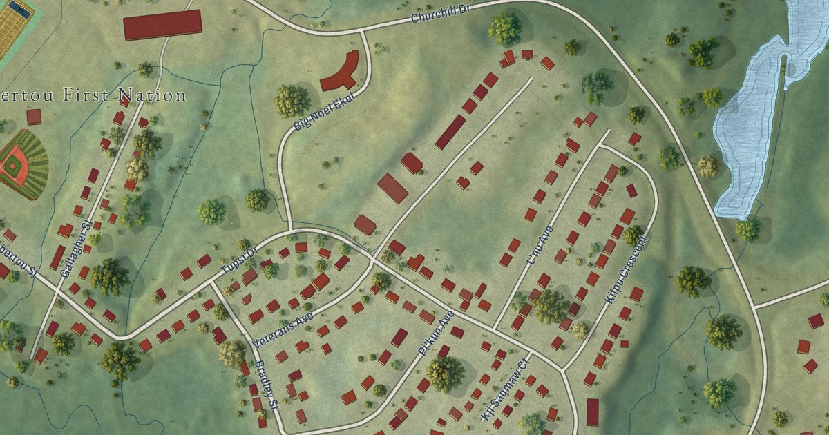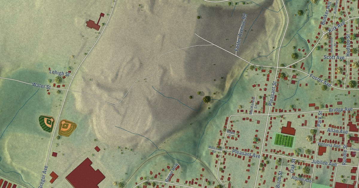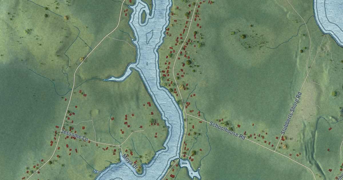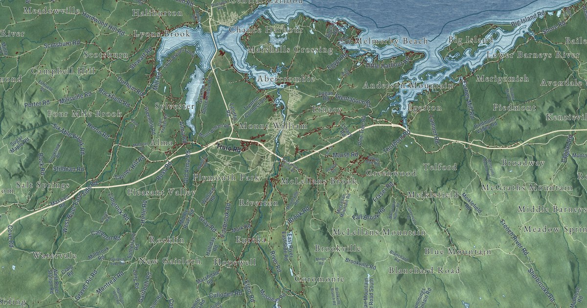
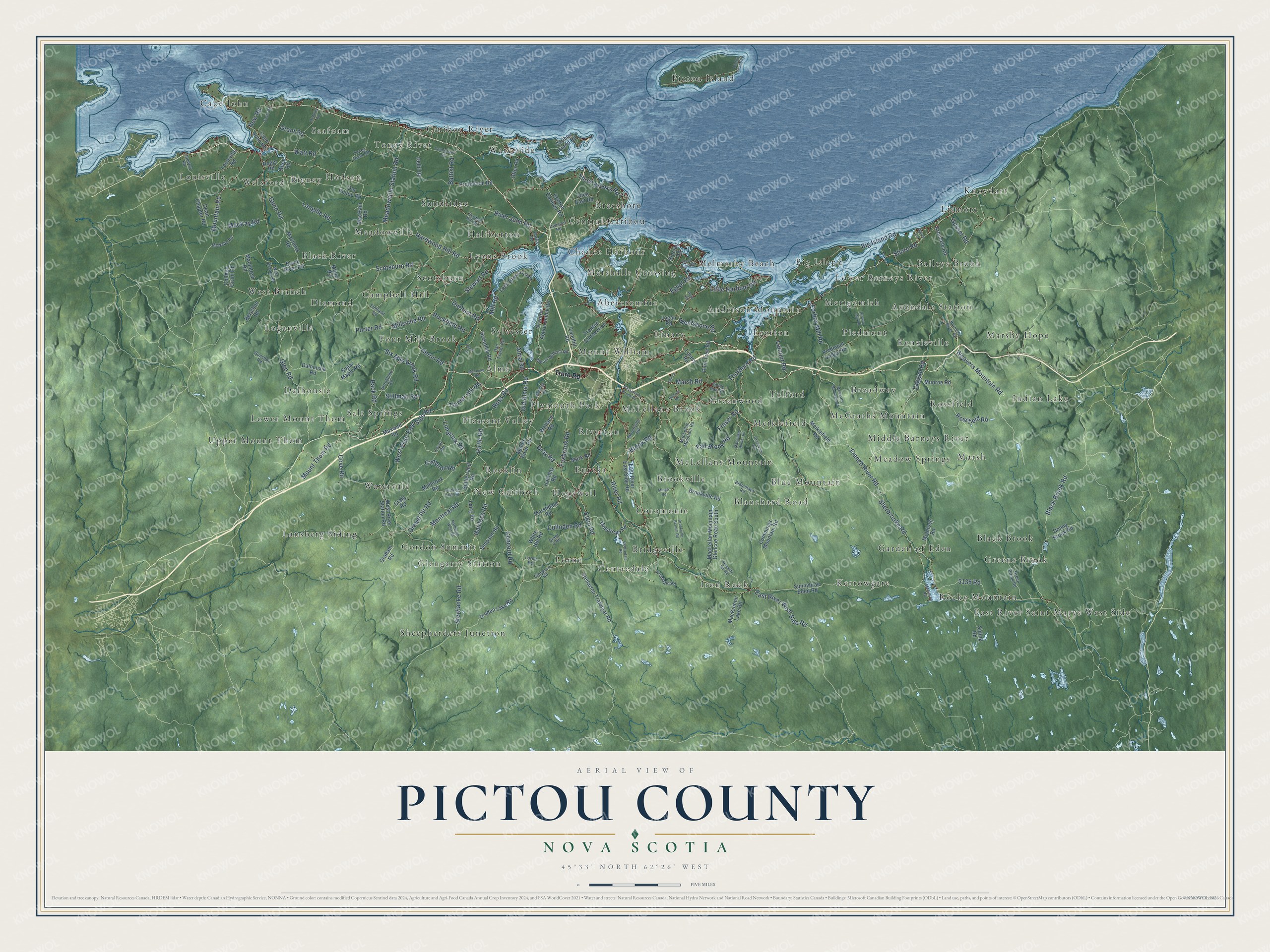
This beautifully detailed map of Pictou County, Nova Scotia was created in 2026 using aerial imagery combined with modern topographical, census, street and landmark data. It’s a one-of-a-kind view of Pictou County that combines accurate data with a vintage aesthetic. The map shows every building in its true location, many of the roads carry their names, and the shaded topographic relief shows the shape of the land.
Explore an aerial view of Pictou County, Nova Scotia
On the map you’ll find Linacy, Sheepherders Junction, Knoydart, Louisville, East River Saint Marys West Side, Iron Rock, Kenzieville, Toney River, Salt Springs, Pictou Island, Scotsburn, Braeshore, and more. If you look closely you can even find your house accurately drawn in its correct location. Zoom in on the preview to look for yours.
Take a closer look at the Pictou County map
Names on this map
These names are printed on this map.
Places: Linacy, Sheepherders Junction, Knoydart, Louisville, East River Saint Marys West Side, Iron Rock, Kenzieville, Toney River, Salt Springs, Pictou Island, Scotsburn, Braeshore, Riverton, Meadow Springs, Upper Mount Thom, Lorne, Blanchard Road, Baileys Brook, Egerton, West Branch, Haliburton, Cape John, Big Island, Gordon Summit, Marsh, Hodson, Four Mile Brook, Garden of Eden, Marshy Hope, Hopewell, Black River, Mount William, Waterside, Black Brook, Dalhousie, Kerrowgare, New Gairloch, McLellans Brook, Pleasant Valley, Coromonie, Melmerby Beach, Sundridge, Abercrombie, Avondale Station, McGraths Mountain, Meiklefield, Anderson Mountain, Seafoam, Indian Lake, Lansberg Siding, Alma, Glengarry Station, Rocklin, Welsford, Watervale, Merigomish, Rocky Mountain, Broadway, Lyons Brook, Brookville, Blue Mountain, Central Caribou, Bridgeville, Greens Brook, Marshalls Crossing, Meadowville, Lower Barneys River, Lower Mount Thom, Centredale, Diamond, Chance Harbour, Telford, Campbell Hill, Caribou River, Lismore, Rossfield, Plymouth Park, Greenwood, McLellans Mountain, Middle Barneys River, Sylvester, Eureka, Piedmont, Loganville and Bigney.
Streets and roads: Sherbrooke Road, Shore Road, Little Harbour Road, Gairloch Road, Glenfalloch Road, Scotsburn Road, Alma Road, River John Road, Durham Road, East River West Side Road, French River Road, Foxbrook Road.
More street names, A to Z
5138 Road, Allen Road, Arbuckle Road, Archibald Road, Back Road, Barneys River Road, Battist Road, Berichon Road, Big Island Road, Black Brook Road, Black Point Road, Black River Road, Brookland Road, Brook Road, Brookville Branch Road, Brookville Road, Browns Mill Road, Cameron Road, Cape John Road, Caribou Island Road, Carmichael Road, Central Caribou Road, Centredale Road, College Grant Road, Concord Road, Cove Road, Craig Road, Culloden Road, Cummings Mountain Road, Dalhousie Road, Danas Lane, Dan Fraser Road, Dean Chapter Road, Delhi Road, Division Road, Donny Brook Road, Dryden Lake Road, East River East Side Road, Egypt Road, Elgin Road, Elmfield Road, Fall Brook Road, Finlay Dan Road, Forbes Mill Road, Fraser Road, Gairloch Lake Road, Glen East Road, Glengarry Road, Glen Road, Graham Road, Grant 2 Road, Granton Abercrombie Road, Grant Road, Gravel Pit Road, Gray Road, Green Brook Road, Greenhill Road, Greenvale Road, Gunn Road, Gunshot Road, Gusset Road, Halliday Road, Hamilton Road, Hardwood Hill Road, Harris Road, Heron Road, Hirtle Road, Joudrey Road, Kennedy Hill Road, Laggan Road, Lairg Road, Lamont Road, Landfill Road, Langille Road, Leil Lane, Limerock Road, Linacy Road, Loch Broom Loop, Logan Road, Lorne Road, Louisville Road, Lovat Road, MacBain Road, MacInnis Road, MacIntosh Road, MacKay Road, MacKinnon Lake Road, MacLaren Road, MacLean Road, MacLellan Hunter Road, MacLellan Mountain Glencoe Road South, MacLellan Mountain Road, MacLellans Brook Road, Mark Road, Marshdale Road, Marsh Road, Matheson West Road, Maxwell Road, McAuley Road, McGraths Mountain Road, McIntosh Road, McNabb Road, Meadowville Station Road, Meiklefield Road, Middle River Road, Millbrook Road, Mill Road, Millstream Road, Millsville Road, Mingo Road, Minto Road, Montreal Road, Mountain Road, Mount Thom Road, Mountville Road, Mount William Road, Munroe Road, New Road, Old Alma Road, Old Pictou Road, Otter Road, Pictou Island Road, Piedmont Valley Road, Pine Tree Road, Porter Road, Protection Road, Rauh Drive, Reeves Road, Reid Road, River Road, Rockfield Road, Roger Road, Rossfield Road, Ross Road, Scotch Hill Road, Siding Road, Simpson Road, Sinclair Road, Six Mile Brook Road, Smith Road, Stellarton Trafalgar Road, Stewart Road, Stewiacke Road, Stillman Road, Sugar Maple Road, Sunnybrae Eden Road, Sutherland Road, Tanner Hill Road, Thorburn Road, Three Brooks Road, Toney River Road, Trenton Connection, Truro Road, Wallace Road, Watt Road, Weavers Mountain Road, West Branch Road, West River East Side Road, West River Station Road, White Hill Road.
See it on a wall
The Pictou County map as an 18 x 24 inch print in a black frame.

This beautifully detailed map of Pictou County makes an attractive addition to your office, library, or den, and it can even be used to teach children the geography and history of the area. It also makes a great gift for anyone with Pictou County roots. When you’re done exploring, click here to get your copy of the Pictou County map.