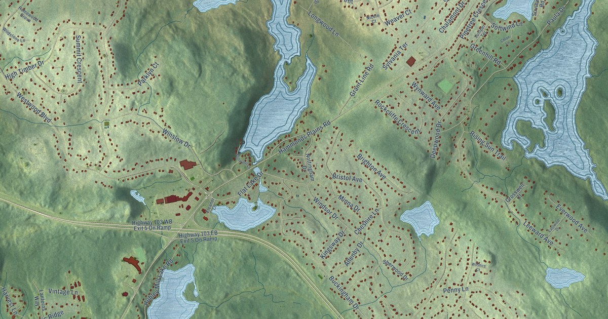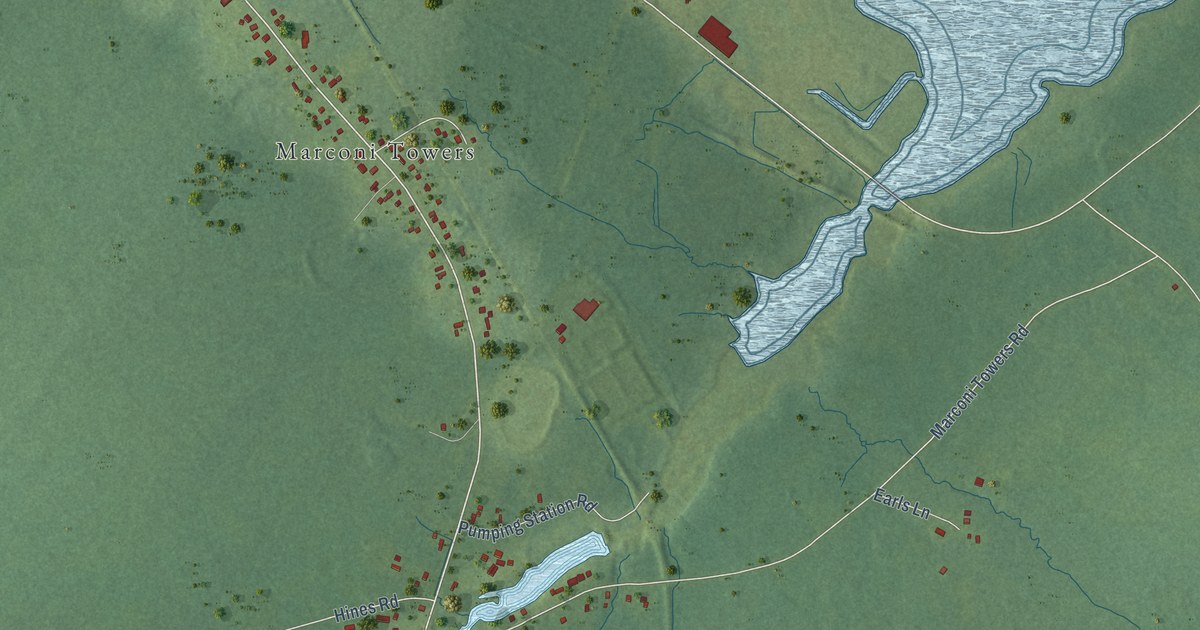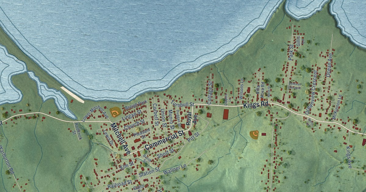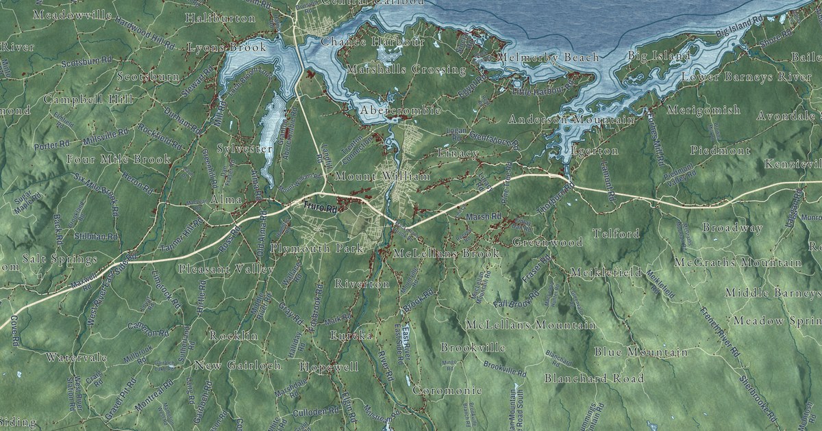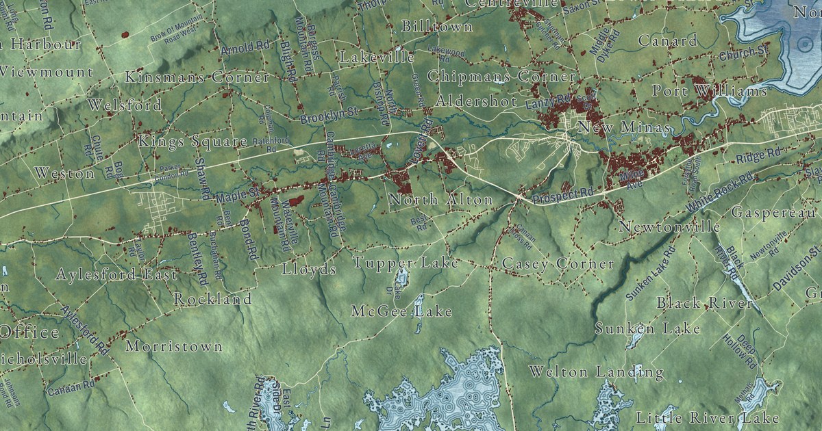
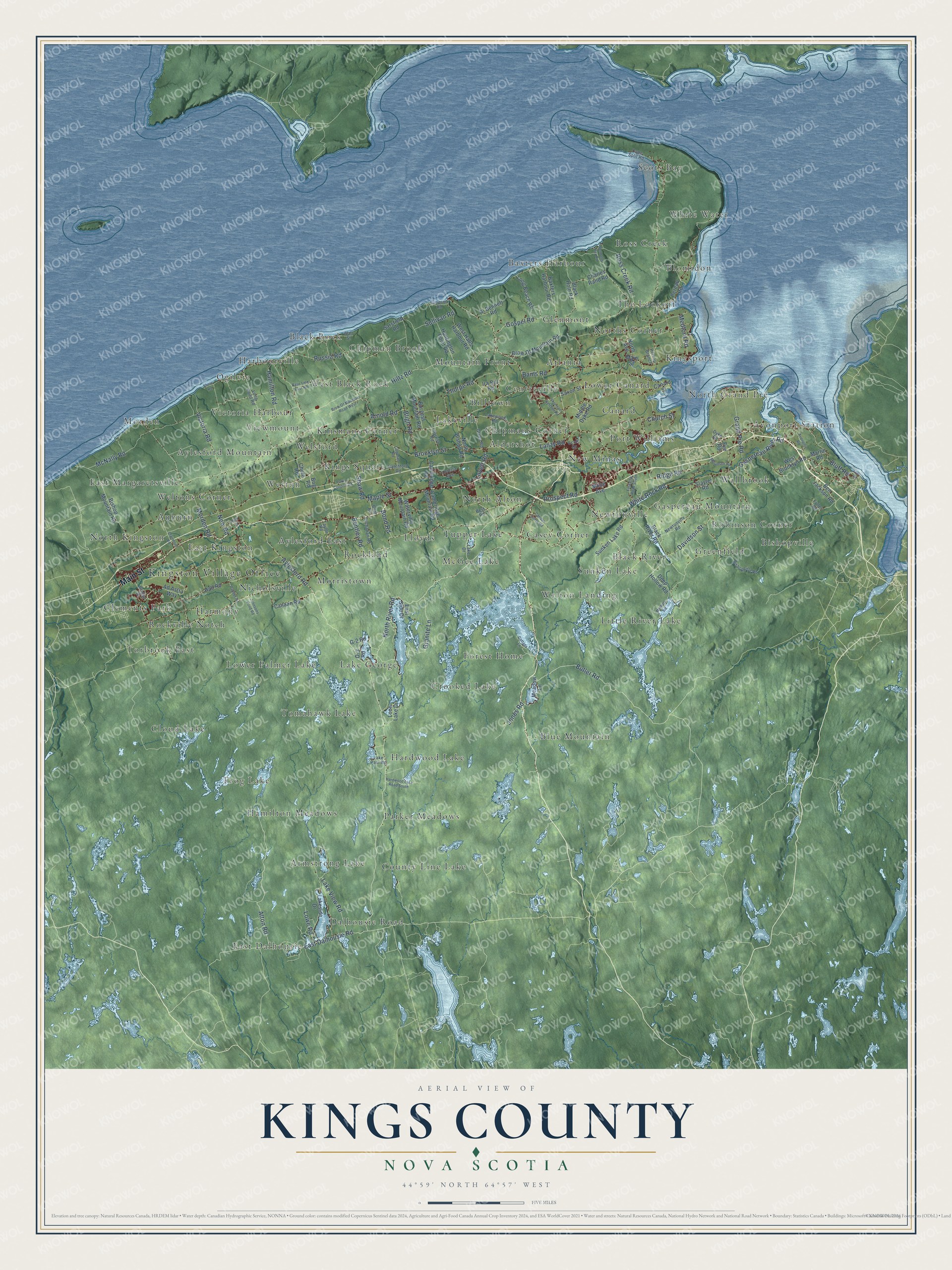
This beautifully detailed map of Kings County, Nova Scotia was created in 2026 using aerial imagery combined with modern topographical, census, street and landmark data. It’s a one-of-a-kind view of Kings County that combines accurate data with a vintage aesthetic. The map shows every building in its true location, many of the roads carry their names, and the shaded topographic relief shows the shape of the land.
Explore an aerial view of Kings County, Nova Scotia
On the map you’ll find Kingston Village Office, Scots Bay, Black River, East Dalhousie, Ogilvie, Blue Mountain, County Line Lake, The Lookoff, Rockland, Cloud Lake, Tomahawk Lake, Port Williams, and more. If you look closely you can even find your house accurately drawn in its correct location. Zoom in on the preview to look for yours.
Take a closer look at the Kings County map
Names on this map
These names are printed on this map.
Places: Kingston Village Office, Scots Bay, Black River, East Dalhousie, Ogilvie, Blue Mountain, County Line Lake, The Lookoff, Rockland, Cloud Lake, Tomahawk Lake, Port Williams, Lakeville, Weltons Corner, Welton Landing, Bishopville, Dalhousie Road, Black Rock, Kings Square, Lake George, Hamilton Meadows, Glenmont, North Grand Pré, East Margaretsville, Hardwood Lake, Centreville, Nicholsville, Torbrook East, Blomidon, New Minas, North Alton, Greenfield, Wallbrook, Morden, Weston, Forest Home, Lloyds, Welsford, East Kingston, Victoria Harbour, Chipman Brook, Harmony, Parker Meadows, Baxters Harbour, Casey Corner, Ross Creek, Lower Canard, Aylesford East, Atlanta, Little River Lake, Kinsmans Corner, Crooked Lake, Avonport Station, Harbourville, White Water, Billtown, Aylesford Mountain, Armstrong Lake, Lower Palmer Lake, Gaspereau Mountain, Newtonville, Norths Corner, West Black Rock, Sunken Lake, Chipmans Corner, Rockville Notch, Canard, Morristown, Mountain Front, Auburn, Viewmount, Tupper Lake, North Kingston, Clements Park, Aldershot, Frog Lake, Kingsport, Robinson Corner and McGee Lake.
Streets and roads: Main Street, Aylesford Road, North River Road, Prospect Road, Alton Road, Butler Road, East Dalhousie Road, White Rock Road, Brooklyn Street, Lovett Road, Victoria Road, Maple Street.
More street names, A to Z
Ad Astra Way, Al Bennett Road, Arnold Road, Avonport Road, Avon Street, Bains Road, Base Line East Road, Baxters Harbour Road, Ben Jackson Road, Bennetts Bay Road, Bentley Road, Bent Road, Best Road, Bishop Mountain Road, Bishopville Road, Black Hole Road, Black River Road, Bligh Road, Bluff Road, Bog Road, Bond Road, Bridge Street, Brow Of Mountain Road, Brow Of Mountain Road West, Buchanan Road, Burgess Mountain Road, Cambridge Mountain Road, Cambridge Road, Canaan Cross Road, Canaan Road, Canard Street, Cape Split Road, Charles Rand Road, Church Street, Chute Road, Clairmont Road, Coleman Road, Cottage Lane, Davidson Street, Deep Hollow Road, Dyke Road, East Side Drive, Eye Road, Forsythe Road South, Fuller Road, G-2 Road, Gaspereau River Road, Gospel Road, Grand Pre Road, Granite Lane, Green Road, Hall Road, Hamilton Road, Hardwood Lake Road South, Hiltz Road, Huntington Point Road, Ira Bill Road, Johnsons Pond Road, Jones Road, Lake Drive, Lake Paul Road, Lakeside Drive, Lake View Road, Lakewood Road, Lanzy Road, Long Beach Road, Long Point Road, Loon Lake Drive, Loretta Avenue, Lowe Road, Martin Road, McNally Road, Meadow Lane, Medford Road, Melanson Road, Methals Road, Middle Dyke Road, Milne Avenue, Morden Road, New Road, Newtonville Road, North Avenue, North Bishop Road, O-3 Road, Palmer Road, Parker Condon Road, Park Street, Parrish Road, Pereau Branch, Pereau Road, Ratchford Road, Ridge Road, Ross Creek Road, Russia Road, Sarsfield Road, Saxon Street, Scott Drive, Shaw Road, Sherman Belcher Road, Shore Road, Simpson Road, Slayter Road, Sullivan Road, Sunken Lake Road, Taylor Road, Thorpe Road, Wall Street, Waterville Mountain Road, West Brooklyn Road, West Halls Harbour Road.
See it on a wall
The Kings County map as an 18 x 24 inch print in a black frame.

This beautifully detailed map of Kings County makes an attractive addition to your office, library, or den, and it can even be used to teach children the geography and history of the area. It also makes a great gift for someone who left Kings County and still calls it home. When you’re done exploring, click here to get your copy of the Kings County map.