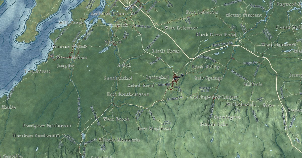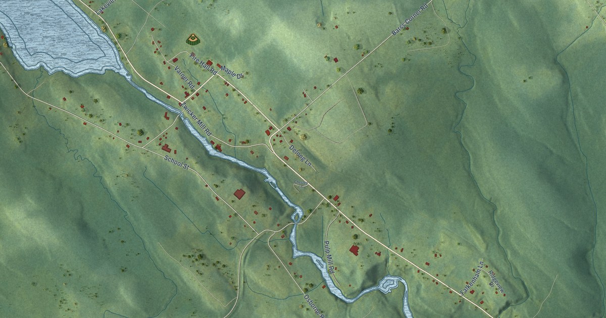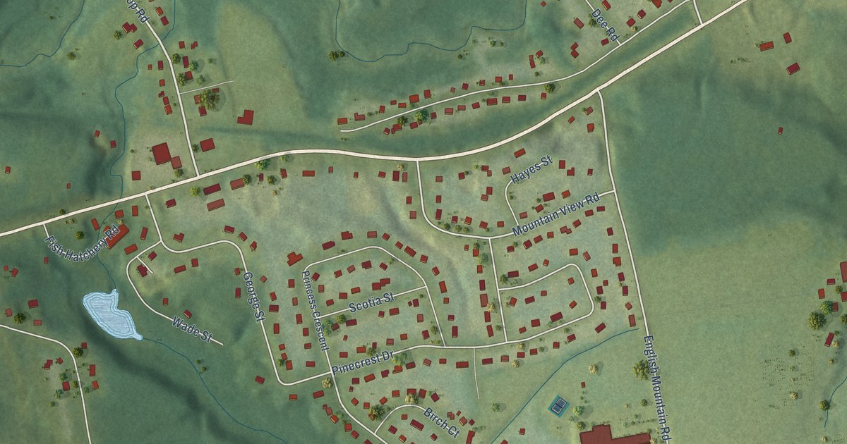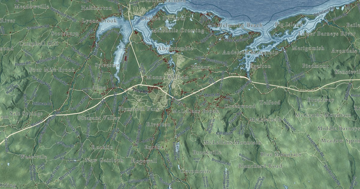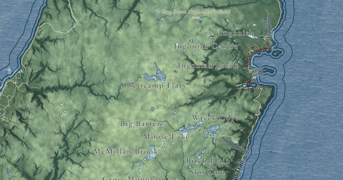
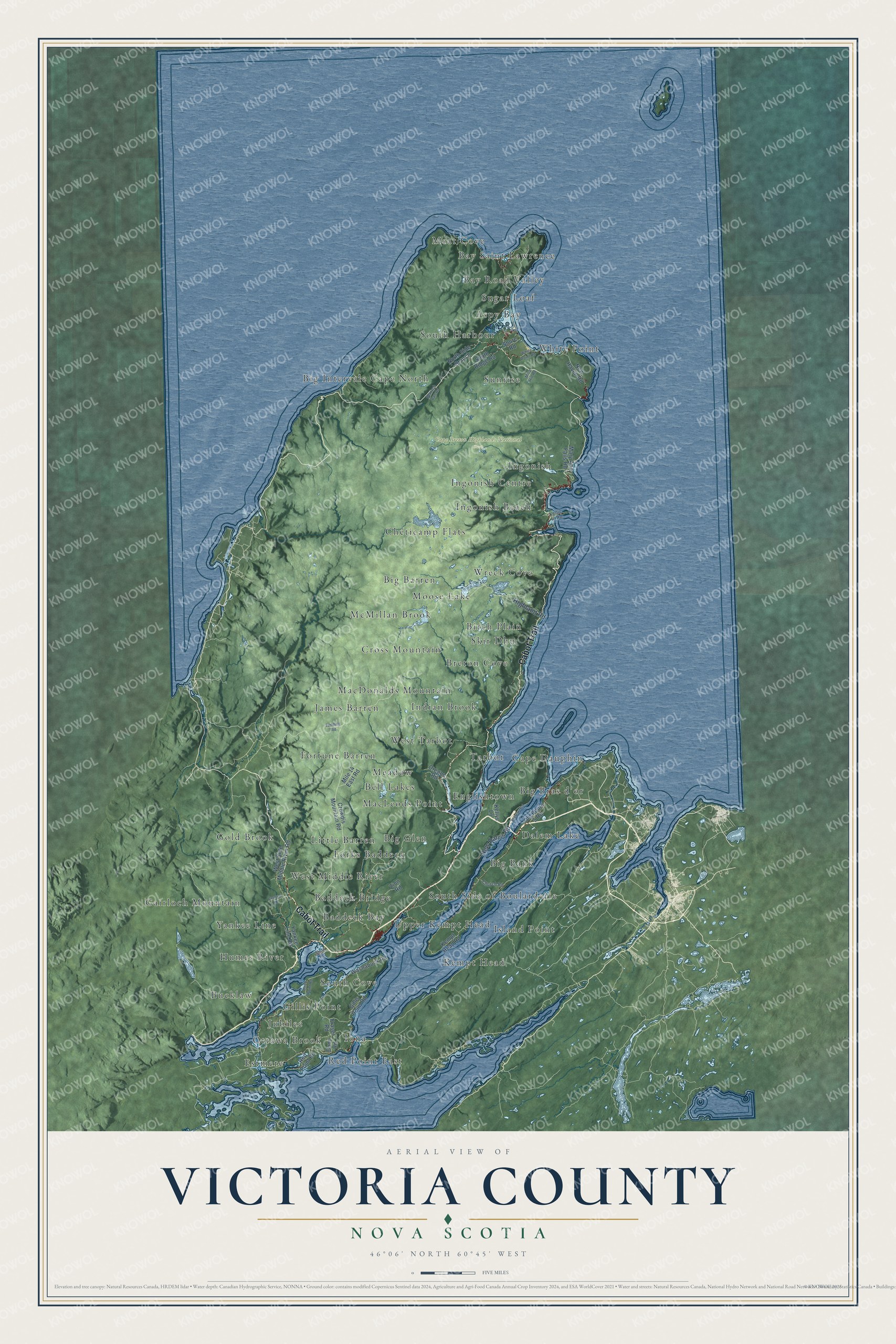
This beautifully detailed map of Victoria County, Nova Scotia was created in 2026 using aerial imagery combined with modern topographical, census, street and landmark data. It’s a one-of-a-kind view of Victoria County that combines accurate data with a vintage aesthetic. The map shows every building in its true location, many of the roads carry their names, and the shaded topographic relief shows the shape of the land.
Explore an aerial view of Victoria County, Nova Scotia
On the map you’ll find Cape Breton Highlands National Park, Cape Dauphin, Bay Saint Lawrence, Estmere, Fortune Barren, Big Barren, South Side of Boularderie, Humes River, Wreck Cove, MacDonalds Mountain, Little Barren, Englishtown, and more. If you look closely you can even find your house accurately drawn in its correct location. Zoom in on the preview to look for yours.
Take a closer look at the Victoria County map
Names on this map
These names are printed on this map.
Places: Cape Breton Highlands National Park, Cape Dauphin, Bay Saint Lawrence, Estmere, Fortune Barren, Big Barren, South Side of Boularderie, Humes River, Wreck Cove, MacDonalds Mountain, Little Barren, Englishtown, Breton Cove, Iona, Sunrise, Ingonish Beach, West Middle River, Aspy Bay, Chéticamp Flats, Upper Kempt Head, Ingonish, James Barren, Big Glen, West Tarbot, Jubilee, McMillan Brook, MacLeods Point, White Point, Yankee Line, Dalem Lake, Gold Brook, Birch Plain, Big Intervale Cape North, Meadow, Big Bank, South Cove, Bell Lakes, South Harbour, Cross Mountain, Meat Cove, Red Point East, Moose Lake, Indian Brook, Gillis Point, Baddeck Bay, Forks Baddeck, Gairloch Mountain, Bay Road Valley, Big Bras d'or, Ingonish Centre, Bucklaw, Kempt Head, Island Point, Ottawa Brook, Skir Dhu, Baddeck Bridge, Sugar Loaf and Tarbot.
Streets and roads: Cabot Trail, Highland Road, New Harris Road, Oregon Road, Crowdis Mountain Road, Kempt Head Road, Old Route 5 Road, Mile 14 East Road, Shore Road, New Haven Road, Gillis Point Road, Yankee Line Road.
More street names, A to Z
Beulach Ban Road, Birch Point Road, Central Road, Church Road, Dunn Road, Fielding Road, Fraser Road, Kellys Lane, Keltic In Road, Mary Ann Falls Road, Mica Hill Road, North Side Branch, Red Point Road, Smith Road, South Ridge Road, Stewart Road, Washabuck Road, West Side Middle River Road, White Point Road, Zion Road.
See it on a wall
The Victoria County map as an 18 x 24 inch print in a black frame.

This beautifully detailed map of Victoria County makes an attractive addition to your office, library, or den, and it can even be used to teach children the geography and history of the area. It also makes a great gift for anyone with Victoria County roots. When you’re done exploring, click here to get your copy of the Victoria County map.