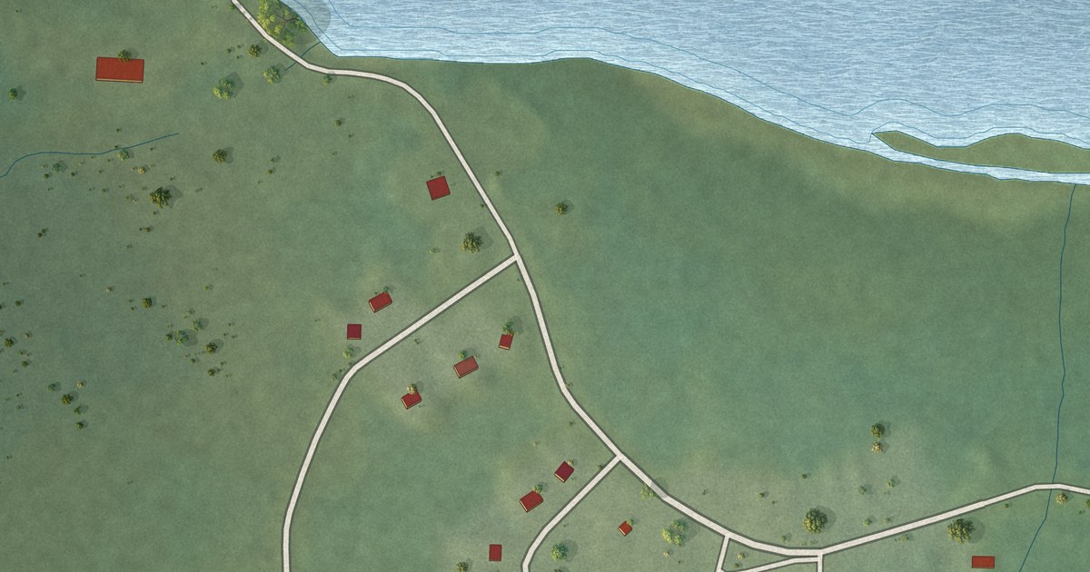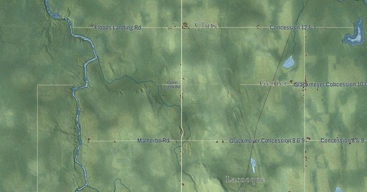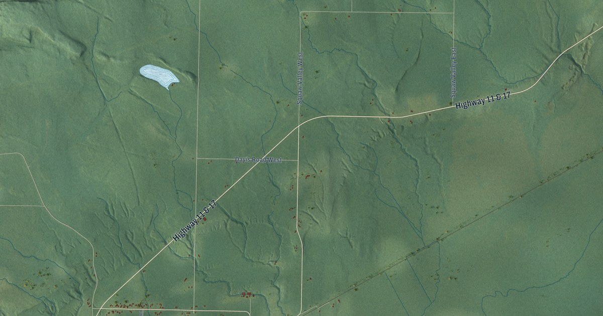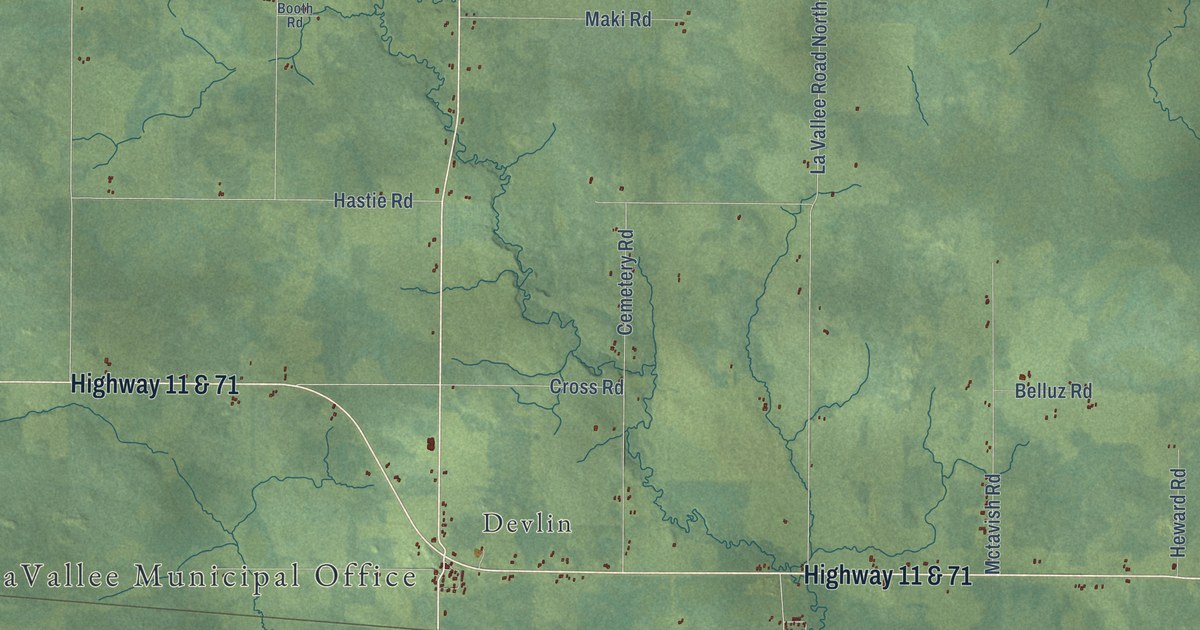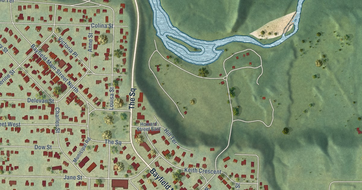
This beautifully detailed map of Bayfield, Ontario was created in 2026 using aerial imagery combined with modern topographical, census, street and landmark data. It’s a one-of-a-kind view of Bayfield that combines accurate data with a vintage aesthetic. The map shows every building in its true location, many of the roads carry their names, and the shaded topographic relief shows the shape of the land.
Explore an aerial view of Bayfield, Ontario
On the map you’ll find Bayfield Cemetery and The Square, along with Bluewater Highway, Bayfield Main Street South, Mill Road, Cameron Street, Lidderdale Street, Blair Street, Old River Road, Jane Street, John Avenue, Bunyan Avenue, and more. If you look closely you can even find your house accurately drawn in its correct location. Zoom in on the preview to look for yours.
Take a closer look at the Bayfield map
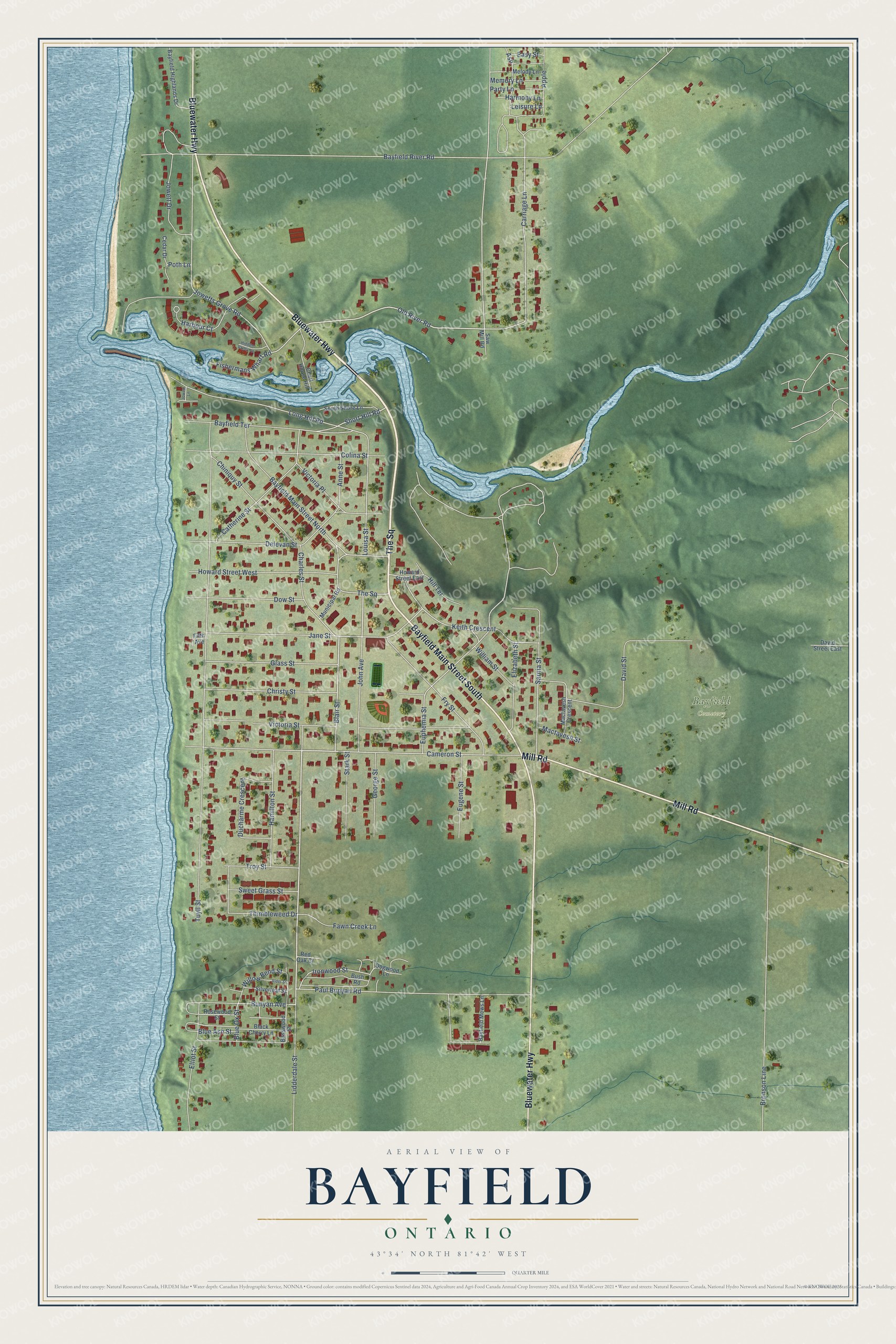
Names on this map
These names are printed on this map.
Places: Bayfield Cemetery.
Streets and roads: Bluewater Highway, The Square, Bayfield Main Street South, Mill Road, Cameron Street, Lidderdale Street, Blair Street, Old River Road, Jane Street, John Avenue, Bunyan Avenue, Jowetts Grove Road.
More street names, A to Z
Alder Street, Anne Street, Apple, Ash, Basswood Street, Bayfield Highlands Drive, Bayfield Main Street North, Bayfield Mews Lane, Bayfield River Road, Bayfield Terrace, Black Cherry Lane, Blue Ash Street, Blue Ox Street, Bronson Line, Bush Road, Carriage Lane, Catherine Street, Cedar Drive, Charles Street, Chart House Hill, Chiniquy Street, Christy Street, Colina Street, David Street, David Street East, Delevan Street, Dogwood Lane, Dow Street, Ducharme Crescent, Easy Street, Elizabeth Street, Elliot Street, Eugene Street, Euphemia Street, Fawn Creek Lane, Fifth Avenue, Fishermans Wharf Road, Fry Street, George Street, Glass Street, Hamilton Street, Harbour Court, Harmony Lane, Hidden Valley Lane, Hill Terrace, Howard Street East, Howard Street West, Ironwood Street, Jowett Drive, Jowett Lane, Keith Crescent, Leisure Lane, Long Hill Road, Louisa Street, Mactavesh Crescent, Mactavesh Street, Melody Lane, Memory Lane, Municipal Road, Party Lane, Paul Bunyan Road, Poth Lane, Red Oak Court, Rosewood Street, Sarnia Street, Saw Mill Road, Short Hill Road, Silverleaf Street, South Shore Lane, Stark Street, Sweet Grass Street, Thimbleweed Drive, Troy Street, Tuyll Street, Victoria Place, Victoria Street, William Street, Willow Bend Street.
See it on a wall
The Bayfield map as an 18 x 24 inch print in a black frame.

This beautifully detailed map of Bayfield makes an attractive addition to your office, library, or den, and it can even be used to teach children the geography and history of the area. It also makes a great gift for anyone who grew up in Bayfield or moved away. When you’re done exploring, click here to get your copy of the Bayfield map.