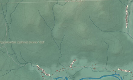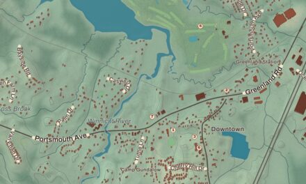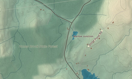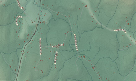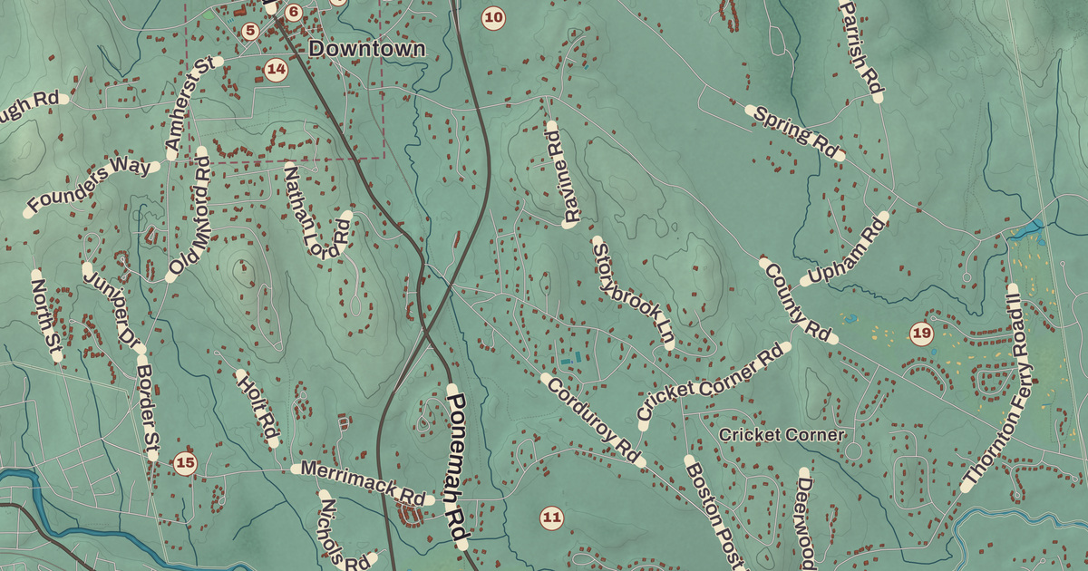
The common in Amherst village was laid out in the 1750s, and it’s still the place to start on this map. The Amherst Village Historic District, Amherst Town Hall, Chestnut Hill, Ponemah and Cricket Corner are all printed by name on this map of the town in 2026.
Amherst is in Hillsborough County, just west of Merrimack and north of Hollis.
KNOWOL made this map in 2026 from public survey data and gave it the look of an old atlas. The shaded slopes, from the Souhegan River up to Chestnut Hill on the northern line, come from United States Geological Survey elevation data. The roads and the town line come from the Census Bureau, right down to roads like Horace Greeley Road. The village district is listed on the National Register of Historic Places, and we checked it against National Park Service records.
Souhegan Number 3
Like many New England towns, Amherst began as a land grant to soldiers. In 1728 the land was granted to veterans of King Philip’s War, and five years later, in 1733, a settlement started here, first called Narragansett Number 3 and then Souhegan Number 3. The settlers formed a Congregational church in 1741 and hired a minister. On January 18, 1760, Governor Benning Wentworth chartered the town and named it for General Jeffery Amherst, the British commander in North America during the French and Indian War.
Amherst sat on the county’s main east-west road, and it became the first shire town, or county seat, of Hillsborough County. It did well through the Revolution and after. In 1790 its southwestern part became the town of Milford, and in 1803 the northwest left to become Mont Vernon. Water-powered mills let Milford grow at Amherst’s expense, and in the 1860s the county business moved away. The population stayed fairly flat until after World War II, when newcomers arrived and Amherst became part of the Greater Boston region. Today it’s a town of 11,753 people, as of the 2020 census.
The Village on the Green
The town common was laid out about 1755, and the village that grew up around it ranks as one of the best examples of a New England village center from the late 1700s and early 1800s. The first meeting house went up in 1749 on a hill northeast of the common and was moved down to the common after the town was chartered. A few houses built near it in 1750, one of them first used as a tavern, are still standing. The Congregational Church was begun about 1771, the brick Farmer’s Bank from 1806, and there’s a brick Greek Revival schoolhouse, the Amherst Brick School. The building you’ll find printed as Amherst Town Hall was built in 1825 as the county’s third courthouse. Most of the district is houses, Georgian, Federal and Greek Revival, and it joined the National Register in 1982.
Two famous names belong to this village. Franklin Pierce, later the 14th president, studied under Judge Edmund Parker in Amherst, and he married Jane Means Appleton in a house on the town green. Horace Greeley was born to a poor family in Amherst in 1811. He was apprenticed to a printer in Vermont, went to New York in 1831, and ten years later founded the New-York Tribune. He made popular the line “Go West, young man, and grow up with the country,” and in 1872 he ran for president against Ulysses S. Grant.
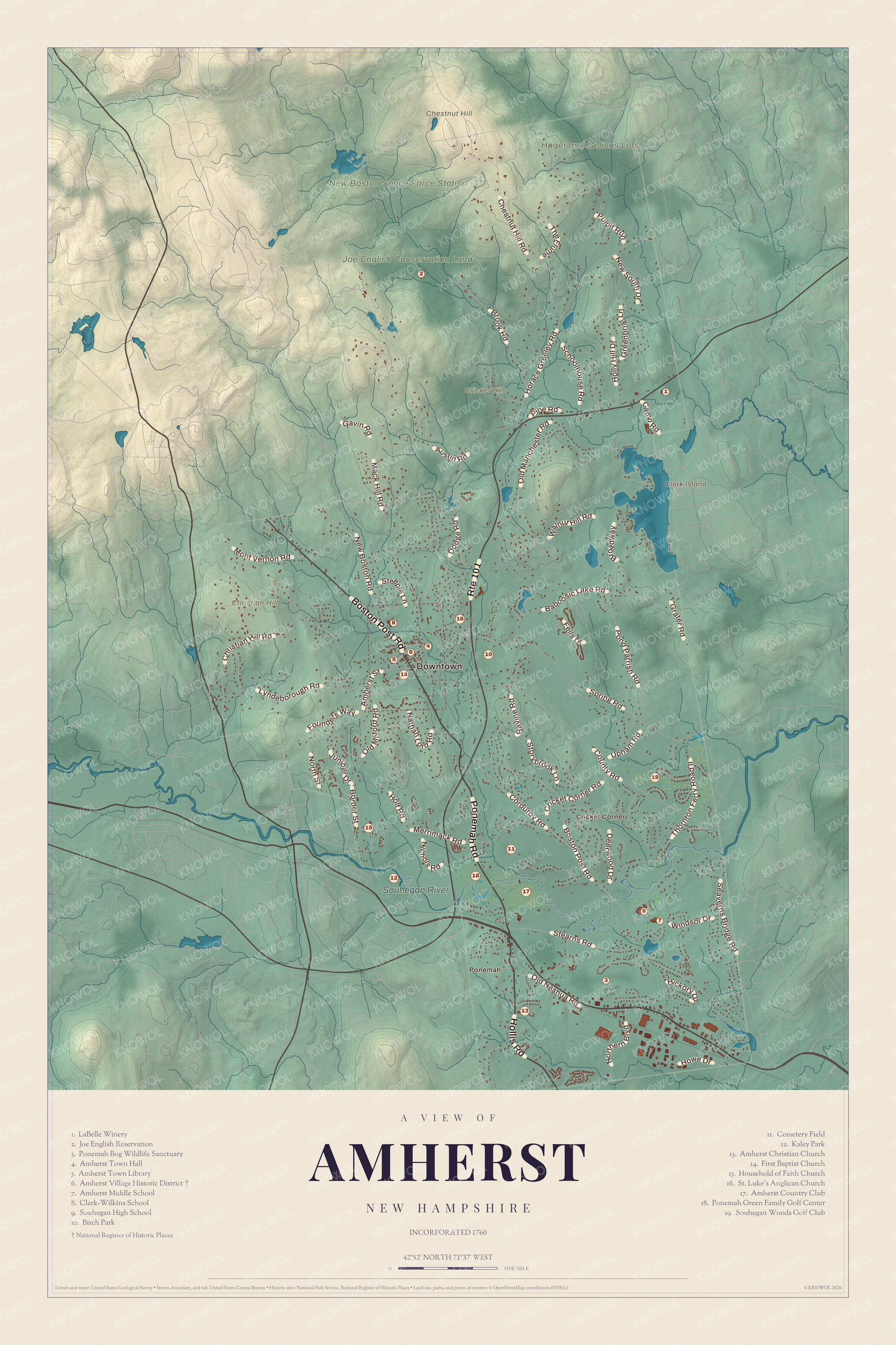
Click to explore a larger preview. The digital watermark does not appear on printed maps.
Names on this map
These names are printed on this map.
Places: Downtown, Ponemah, Cricket Corner, Chestnut Hill, Christian Hill, Clark Island, Cricket Hill, Souhegan River, New Boston Space Force Station, Joe English Conservation Land, Hager and Gelinas Lots, LaBelle Winery, Joe English Reservation, Ponemah Bog Wildlife Sanctuary, Amherst Town Hall, Amherst Town Library, Amherst Village Historic District, Amherst Middle School, Clark-Wilkins School, Souhegan High School, Birch Park, Cemetery Field, Kaley Park, Amherst Christian Church, First Baptist Church, Household of Faith Church, St. Luke's Anglican Church, Amherst Country Club, Ponemah Green Family Golf Center and Souhegan Woods Golf Club.
Streets and roads: Route 101, Boston Post Road, Ponemah Road, Hollis Road, Mack Hill Road, The Flume, County Road, Christian Hill Road, Merrimack Road, Horace Greeley Road, Amherst Street, Baboosic Lake Road.
More street names, A to Z
Austin Road, Border Street, Broadway, Brook Road, Camp Road, Chestnut Hill Road, Corduroy Road, Cricket Corner Road, Deerwood Drive, Dodge Road, Fells Drive, Founders Way, Gavin Road, Grater Road, Greenbriar Lane, Hickory Drive, Holly Hill Drive, Holt Road, Howe Drive, Juniper Drive, Lyndeborough Road, Mont Vernon Road, Nathan Lord Road, New Boston Road, New South Drive, Nichols Road, Northern Boulevard, North Street, Old Manchester Road, Old Milford Road, Old Nashua Road, Pine Road, Pond Parrish Road, Pulpit Run, Ravine Road, Schoolhouse Road, Seaverns Bridge Road, Spring Road, Stearns Road, Steeple Lane, Storybrook Lane, Thornton Ferry Road II, Upham Road, Walnut Hill Road, Windsor Drive.
Brooks, Bogs and Hills
All of Amherst drains to the Merrimack River. The Souhegan River runs east through the south of town, and its branch Beaver Brook flows through the middle and right through the main village. Up along the eastern border is Baboosic Lake, which Amherst shares with Merrimack. It was once a popular vacation spot for people who came out on the Boston and Maine’s Manchester and Milford branch, and it drains into Baboosic Brook. Amherst is home to Hodgman State Forest and the Joe English Reservation, and to the Ponemah Bog Wildlife Sanctuary. Look for the sanctuary, printed by name.
The highest ground is on Chestnut Hill, at the northern border, where the land reaches 865 feet. Look as well for Christian Hill, the Amherst Town Library, Birch Park and LaBelle Winery, all printed on the map.
This map of Amherst makes a handsome addition to a living room, office, library or den, and it can even help teach children the geography and history of the town. It’s a thoughtful gift for anyone who calls Amherst home, grew up near the green, or moved away and misses it. Created by KNOWOL in 2026, it’s printed on museum quality archival paper. Zoom in on the preview above to explore the details, then click here to get your copy of the Amherst map.

Sources