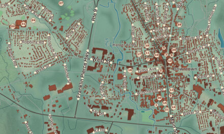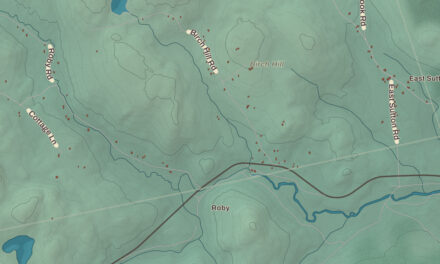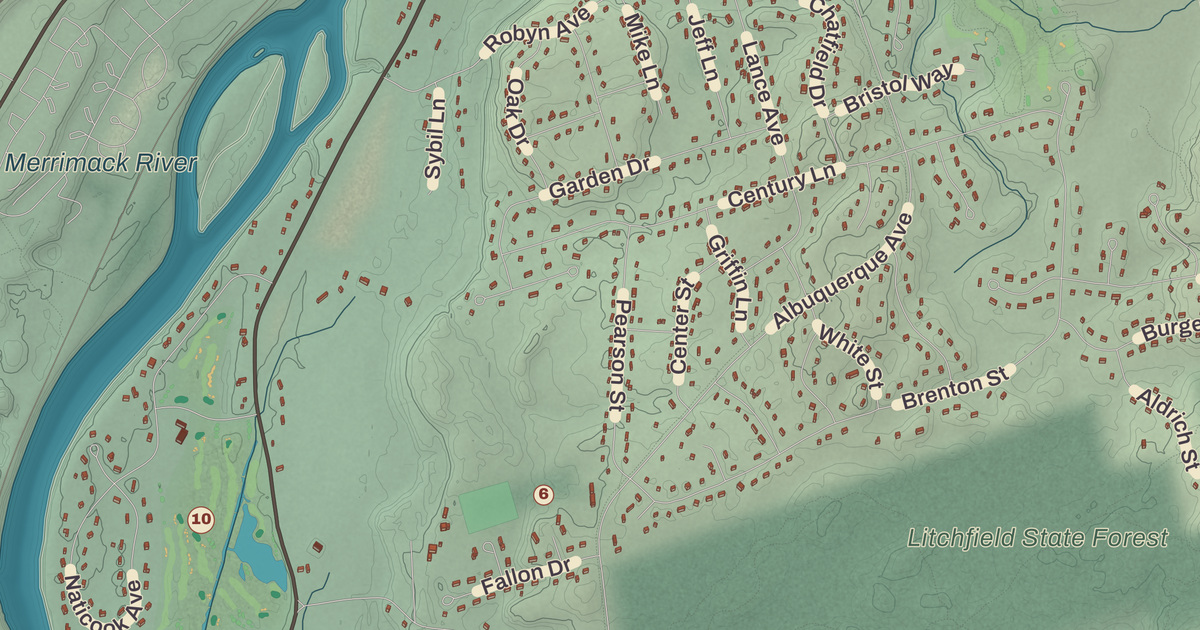
Route 3A runs the length of Litchfield close beside the Merrimack, and on that stretch, the Charles Bancroft Highway, the town’s first church still keeps company with the old town hall and fire station. This map prints the Litchfield Town Hall, the Aaron Cutler Memorial Library, Campbell High School, Roy Memorial Park and Litchfield Park at Sawmill Brook, with Rocky Hill, the Merrimack River and Nesenkeag Brook.
Litchfield is in Hillsborough County, across the Merrimack River from the towns of Merrimack and Nashua.
KNOWOL made this map in 2026 from public survey data and gave it the look of an old atlas. The shaded terrain around Rocky Hill and East Merrimack comes from United States Geological Survey elevation data; Rocky Hill, near the center of town in Litchfield State Forest, is the highest point, at 357 feet. The roads and the town line come from the Census Bureau, right down to Horizon Drive. Litchfield had 8,478 people at the 2020 census.
See it on a wall
The Litchfield map as a framed print. Swipe for more.


Naticook, Brenton’s Farm, Litchfield
Abenaki people lived here before European settlement, fishing and farming, and the New Hampshire Archaeological Society has found more than 30 Native American sites along the Merrimack’s shore in Litchfield, with artifacts several thousand years old. Most of the town was once part of Dunstable, a large town organized in the 1600s on both sides of the disputed line between New Hampshire and Massachusetts, and this part of it was first called Naticook. In the 1650s William Brenton, a colonial governor of Rhode Island, was granted land on the Merrimack that took in much of today’s Litchfield; his page calls the tract Brenton Farm, and in 1729 the name was changed to Brenton’s Farm.
Massachusetts incorporated the town in 1734, and its first town meeting met that July 29 at the house of Aquila Underwood to choose officers. In 1749 the land was granted to another group of settlers and named Litchfield, after George Henry Lee, Earl of Lichfield, and on June 5, 1749, Litchfield was incorporated in the Province of New Hampshire.
A town without a village
Litchfield has no main village or town center. It was farmland for most of its history, and its population climbed steeply from the 1970s on, along with the rest of southern New Hampshire, as it became a bedroom community for Greater Boston. The original town hall stood on Route 3A in the east-central part of town; the present Litchfield Town Hall is at the town’s geographic center, at Hillcrest Road and Albuquerque Avenue. The historical society and the Litchfield Community Television studio are on 3A, in and around the old town hall and fire station. A trolley ran through Litchfield in the early 20th century, and a stretch of rail trail and an old trolley bridge in Parker Park are left from it. Roy Memorial Park and Litchfield State Forest are open all year, and the conservation lands include Moore’s Falls, Parker Park, the Community Garden and the John Bryant River Access.
The town has three public schools: Griffin Memorial School, Litchfield Middle School and Campbell High School. Campbell is the only high school in town, and its page says it was the first school in New Hampshire to introduce core competencies; in the 2017-18 season its football team were undefeated state champions, the first Campbell team to earn that title.
People from Litchfield
Leroy Napoleon “Jack” McQuesten was born in Litchfield in 1836. His family moved west, to Illinois and then to California, where he was in time for the gold rush, and he became a trader and explorer in Alaska and the Yukon, where he and his partners founded the trading post of Fort Reliance; prospectors named the Fortymile and Sixtymile rivers by their distance from it. He founded Circle City, Alaska, in 1894, came to be known as the “Father of the Yukon,” and has a Yukon River tributary, the McQuesten River, named for him. Clifton Clagett began practicing law in Litchfield in 1787, served in Congress from 1803 to 1805, and later sat on the New Hampshire Supreme Court. The actress and singer Jennifer Simard, a three-time Tony Award nominee for her work in Broadway musicals, is from Litchfield.
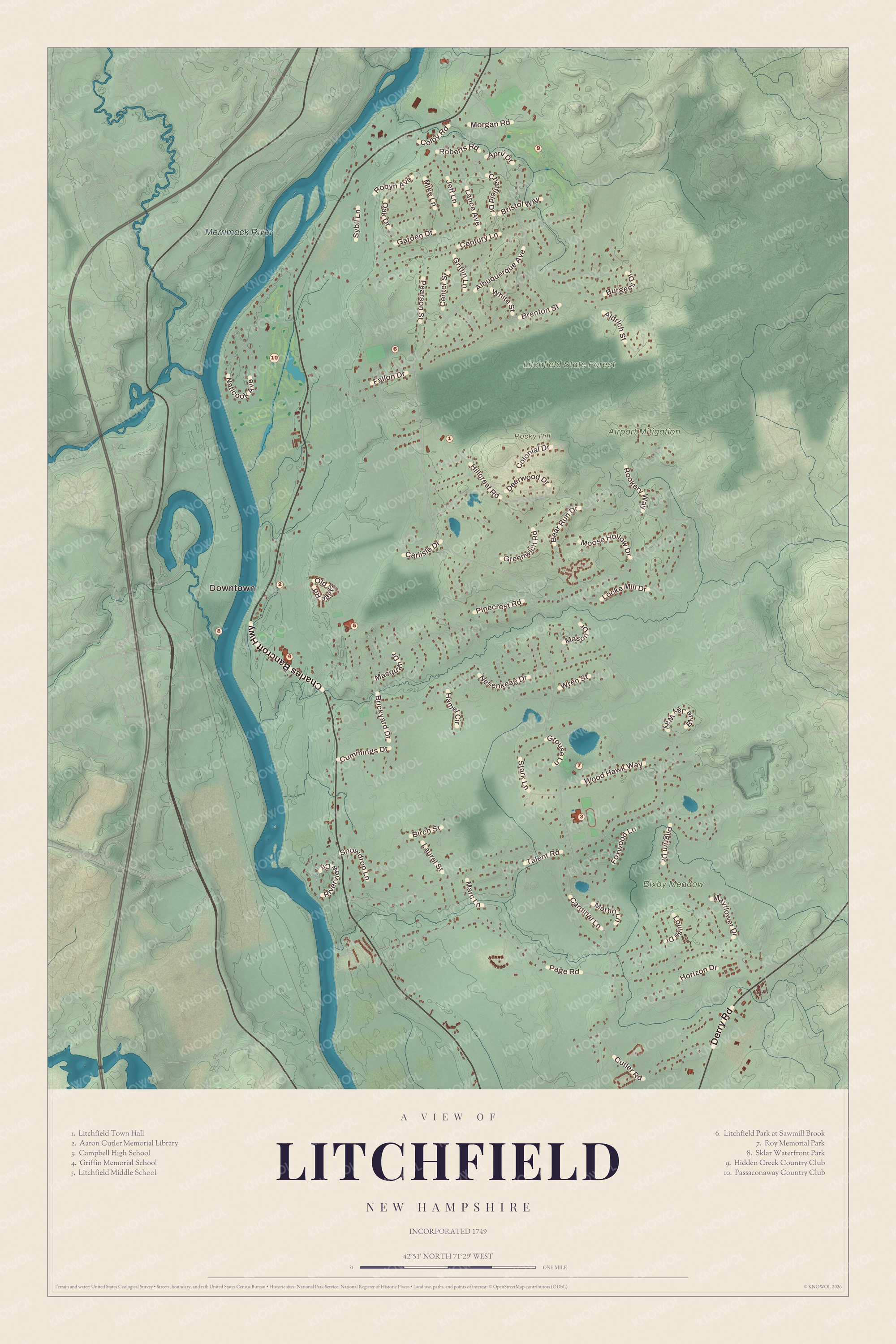
Click to explore a larger preview. The digital watermark does not appear on printed maps.
Names on this map
These names are printed on this map.
Places: Downtown, Rocky Hill, Merrimack River, Litchfield State Forest, Bixby Meadow, Airport Mitigation, Litchfield Town Hall, Aaron Cutler Memorial Library, Campbell High School, Griffin Memorial School, Litchfield Middle School, Litchfield Park at Sawmill Brook, Roy Memorial Park, Sklar Waterfront Park, Hidden Creek Country Club and Passaconaway Country Club.
Streets and roads: Charles Bancroft Highway, Derry Road, Albuquerque Avenue, Hillcrest Road, Page Road, Pinecrest Road, Talent Road, Brenton Street, Naticook Avenue, Nesenkeag Drive, Century Lane, Cutler Road.
More street names, A to Z
Aldrich Street, April Drive, Bear Run Drive, Birch Street, Blue Jay Way, Brickyard Drive, Bristol Way, Burgess Drive, Cardinal Lane, Carlisle Drive, Center Street, Chatfield Drive, Colby Road, Colonial Drive, Cummings Drive, Deerwood Drive, Fallon Drive, Foxwood Lane, Garden Drive, Greenwich Road, Griffin Lane, Grouse Lane, Hamel Circle, Horizon Drive, Jeff Lane, Lance Avenue, Laurel Street, Locke Mill Drive, Louise Drive, Marc Lane, Martin Lane, Mason Drive, Masquah Drive, Mayflower Drive, Mike Lane, Moose Hollow Drive, Morgan Road, Oak Drive, Old Stage Road, Pearson Street, Pilgrim Drive, Riverview Circle, Roberts Road, Robyn Avenue, Rookery Way, Snowdrop Lane, Stark Lane, Sybil Lane, White Street, Wood Hawk Way, Wren Street.
The river side of town
There is no bridge across the river from Litchfield to the town of Merrimack; the nearest crossings are to the south, between Nashua and Hudson, and to the north, between Manchester and Bedford. Two islands in the river lie within Litchfield’s borders, the northern one inside the town and the southern one split by the line with Merrimack, which owns both; they’ve been called Minnewawa and Nunnehaha, the Naticook Islands and Reed’s Islands. Hillcrest Road is the main way across the middle of town to Londonderry, and Route 102, Derry Road, crosses the far southeast corner. Nesenkeag Brook is printed on the map, along with Rocky Hill, the Litchfield Town Hall, the Aaron Cutler Memorial Library, Campbell High School, Roy Memorial Park and Litchfield Park at Sawmill Brook. The brook is one of several that drain the western side of Londonderry to the Merrimack. East Merrimack is on the map too. It’s a census-designated place in the neighboring town of Merrimack, on the far side of the river. Manchester lies to the north, Londonderry to the east and Hudson to the south.
This Litchfield map makes a fine addition to an office, library or den, and it can help teach children the geography and history of a river town that was Naticook and Brenton’s Farm before it was Litchfield. It’s made for people who call Litchfield home, from Rocky Hill to the banks of the Merrimack. KNOWOL created it in 2026, and it’s printed on museum quality archival paper. Zoom in on the preview above to explore the details, then click here to get your copy of the Litchfield map.

Sources