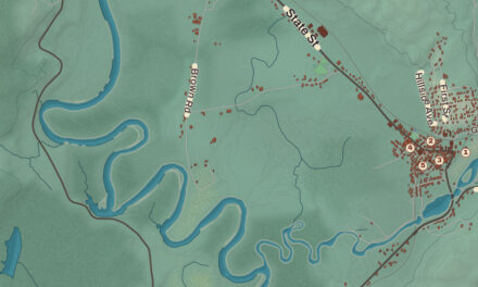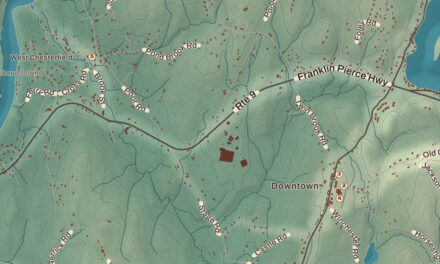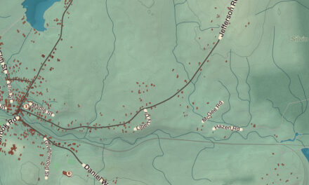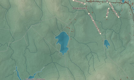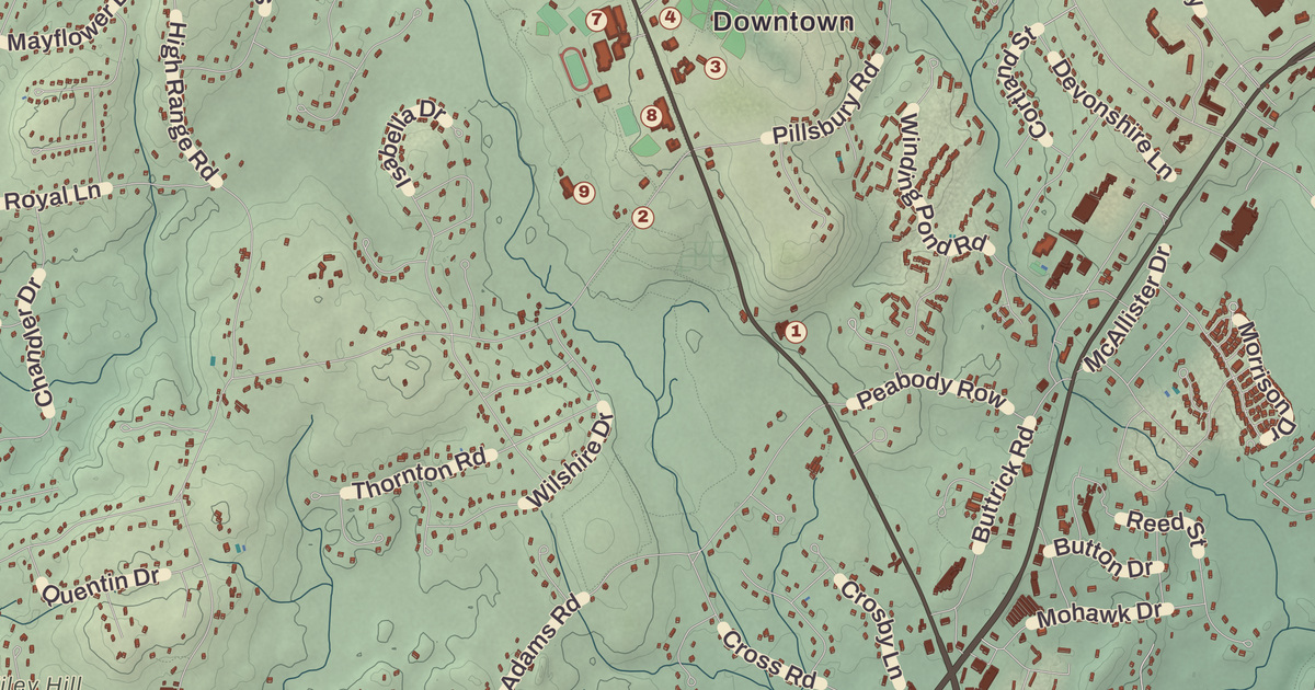
Londonderry’s town hall, library and high school face each other across Mammoth Road in the center of town, and the orchards of Mack’s Apples spread over some 400 acres close by. This map prints the Londonderry Town Hall, the Leach Library, Mack’s Apples, the Mason J Young House and Continental Park, along with North Londonderry, Moose Hill, Wilson and West Derry.
Londonderry is in Rockingham County, and it’s the county’s westernmost town.
KNOWOL made this map in 2026 from public survey data and gave it the look of an old atlas. The shaded terrain around Wilson and North Londonderry comes from United States Geological Survey elevation data; the highest point in town, 535 feet, is on Number Eight Hill north of the center, named for the schoolhouse that once stood on it. The roads and the town line come from the Census Bureau, right down to Button Drive. The Mason J Young House, listed as the Gen. Mason J. Young House, is on the National Register of Historic Places, and we checked it against National Park Service records. Londonderry had 25,826 people at the 2020 census.
See it on a wall
The Londonderry map as a framed print. Swipe for more.


Nutfield
The first name was Nutfield, for the thick woods of nut trees. Settlers came in the spring of 1719, and a state historical marker in Derry tells of the 16 Presbyterian Scotch-Irish families who settled that April in two rows of cabins along West Running Brook and planted a common field where, the marker says, the potato was first grown in North America. When they petitioned the province that September they counted about seventy families, from Ireland and from New England, and asked for land “ten miles square.” The town was chartered in the early 1720s and named Londonderry, after Londonderry in Ulster, in the north of Ireland.
The first town took in more land than today’s. Windham was set off in the early 1740s, a northwest portion became Derryfield, now Manchester, in 1751, and Derry was incorporated in 1827; the line with Hudson was settled in 1857. The stone town pound faces Mammoth Road, built in 1831, with its back to the Old Stage Road. Its state historical marker says that when the present boundaries were set in 1836, David Gilcreast built it of free-laid stones, land and materials included, for $30.00.
Matthew Thornton
Matthew Thornton, born in Ireland in 1714, came to America as a small child, studied medicine, and set up his practice in Londonderry. He served the town as a selectman, went to the provincial assembly and became its president, and helped draft New Hampshire’s plan of government after the royal government fell, the first state constitution adopted after the fighting with England began. He was elected to the Continental Congress after the debates on independence, reached Philadelphia in November 1776, and was given leave to sign the Declaration of Independence months after the formal signing. His house in Derry, then part of Londonderry, is on the National Register, and Londonderry’s Matthew Thornton Elementary School carries his name.
Orchards and farms
Londonderry is known for its apple orchards; Mack’s Apples, Sunnycrest Farm and Elwood Orchards are among them, and apple picking is a favorite fall outing. Mack’s Apples, also called Moose Hill Orchards, began in 1732, when John Mack came from Londonderry, Ireland. The Macks turned to apples in the 1800s and ran the farm for eight generations until they sold it in 2021, and its page calls it the oldest family-run farm in the state. It spreads over about 400 acres in the center of town, 100 of them in apples, and the town has bought conservation easements to keep it open land.
Off Route 102 at Young Road and Cross Road, the Gen. Mason J. Young House, also called the William Boyd House, stands on land farmed since 1757. Mason Boyd first settled it, and family accounts say William Boyd built the house in 1802. In the mid-1800s it became a dairy farm that shipped milk to Boston by rail, and in the 20th century it turned toward apples. In 1976 it was registered as a Bicentennial Farm, for more than 200 years in one family.
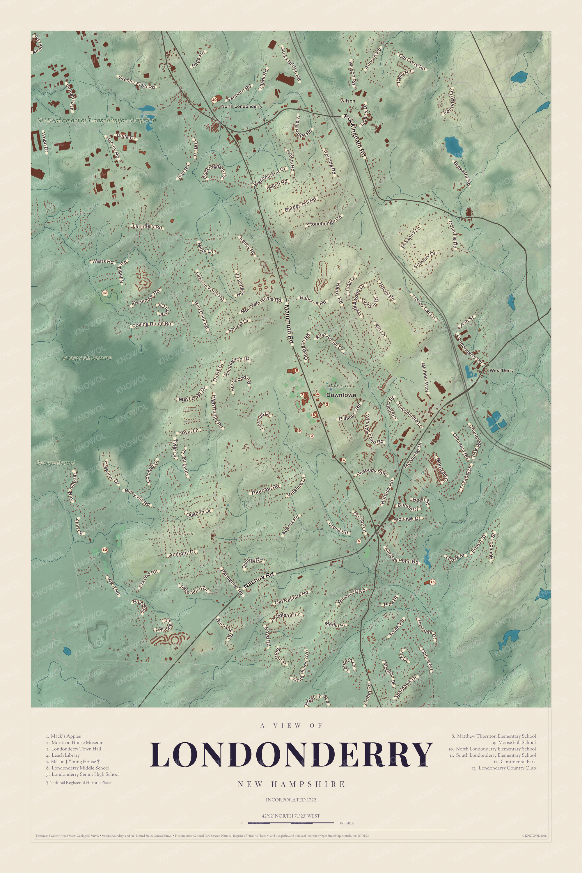
Click to explore a larger preview. The digital watermark does not appear on printed maps.
Names on this map
These names are printed on this map.
Places: Downtown, Wilson, North Londonderry, West Derry, Moose Hill, Wiley Hill, Musquash Swamp, NH Department of Transportation Mitigation, George Parcel, Mack's Apples, Morrison House Museum, Londonderry Town Hall, Leach Library, Mason J Young House, Londonderry Middle School, Londonderry Senior High School, Matthew Thornton Elementary School, Moose Hill School, North Londonderry Elementary School, South Londonderry Elementary School, Continental Park and Londonderry Country Club.
Streets and roads: Mammoth Road, Nashua Road, Rockingham Road, High Range Road, Pillsbury Road, South Road, Litchfield Road, Harvey Road, West Road, Gilcreast Road, Wiley Hill Road, Hardy Road.
More street names, A to Z
Adams Road, Airport Road, Alan Circle, Alexander Road, Anthony Drive, Ash Street, Auburn Road, Bancroft Road, Bartley Hill Road, Boyd Road, Brewster Road, Buckingham Drive, Burbank Road, Button Drive, Buttrick Road, Calla Road, Chandler Drive, Charleston Avenue, Chase Road, Clark Road, Colonial Drive, Cortland Street, Coteville Road, Crosby Lane, Cross Road, Davis Drive, Delta Drive, Devonshire Lane, Dianna Road, Elwood Road, Forest Street, Gordon Drive, Grenier Field Road, Griffin Road, Grove Street, Hall Road, Hazelnut Lane, Hemlock Street, Holstein Avenue, Hovey Road, Industrial Drive, Isabella Drive, Jacks Bridge Road, Jay Drive, Judy Drive, Justin Circle, Kelley Road, Kendall Pond Road, Kimball Road, King Arthur Drive, Kitt Lane, Lantern Lane, Lawson Farm Road, Liberty Drive, Londonderry Road, Lori Lane, Mayflower Drive, McAllister Drive, Merlin Place, Michels Way, Misty Lane, Mohawk Drive, Morrison Drive, Moulton Drive, Mountain Home Road, Noyes Road, Old Derry Road, Old Nashua Road, Otterson Road, Page Road, Parmenter Road, Partridge Lane, Peabody Row, Pendleton Lane, Perkins Road, Pine Street, Pleasant Drive, Preserve Drive, Priscilla Lane, Quentin Drive, Rainbow, Red Deer Road, Reed Street, Rolling Ridge Road, Royal Lane, Sanborn Road, Seasons Lane, Severance Drive, Shasta Drive, Sherwood Road, Sparhawk Drive, Stonehenge Road, Summer Drive, Sutton Place, Tanager Way, Thornton Road, Tokanel Drive, Trolley Car Lane, Tyler Drive, Vista Ridge Road, Watts Road, Webb Drive, Wedgewood Drive, Welch Road, Westminster Drive, White Plains Avenue, Wilshire Drive, Wilson Road, Wimbledon Drive, Winding Pond Road, Windsor Boulevard.
Mammoth Road and the town center
Mammoth Road is Route 128, the main north-south road through town, running from Windham up to Route 28 in North Londonderry. Near the town’s geographic center, the town hall and the schools stand along an otherwise rural stretch of it. Londonderry High School sits on a 135-acre campus across the road from the Leach Library, the police station, the Londonderry Town Hall and Fire Station 1, and its Lancer Marching Band, which its page calls the second largest in New England, has marched in the Tournament of Roses Parade, the New York St. Patrick’s Day Parade and two presidential inauguration parades, and on the Great Wall of China before the 2008 Olympics. The historic town center is near the top of Moose Hill, and the town’s kindergarten is the Moose Hill School. When the Manchester and Lawrence Railroad opened in 1849 it had depots at North Londonderry, Wilson’s Crossing, Derry and Windham. Today Interstate 93 crosses the east side of town, and half of Manchester-Boston Regional Airport, its main terminal included, lies in the northwest corner. Wilson, West Derry, Continental Park and the Mason J Young House are printed on the map too.
This Londonderry map is a fine addition to an office, library or den, and it can help teach children the geography and history of old Nutfield and its orchards. It’s made for anyone who calls Londonderry home, from Moose Hill to North Londonderry. KNOWOL created it in 2026, and it’s printed on museum quality archival paper. Zoom in on the preview above to explore the details, then click here to get your copy of the Londonderry map.

Sources
- Londonderry, New Hampshire, Wikipedia
- Londonderry (CDP), New Hampshire, Wikipedia
- List of New Hampshire historical markers (51 to 75), Wikipedia
- List of New Hampshire historical markers (151 to 175), Wikipedia
- Matthew Thornton, Wikipedia
- Mack’s Apples, Wikipedia
- Gen. Mason J. Young House, Wikipedia
- Londonderry High School, Wikipedia