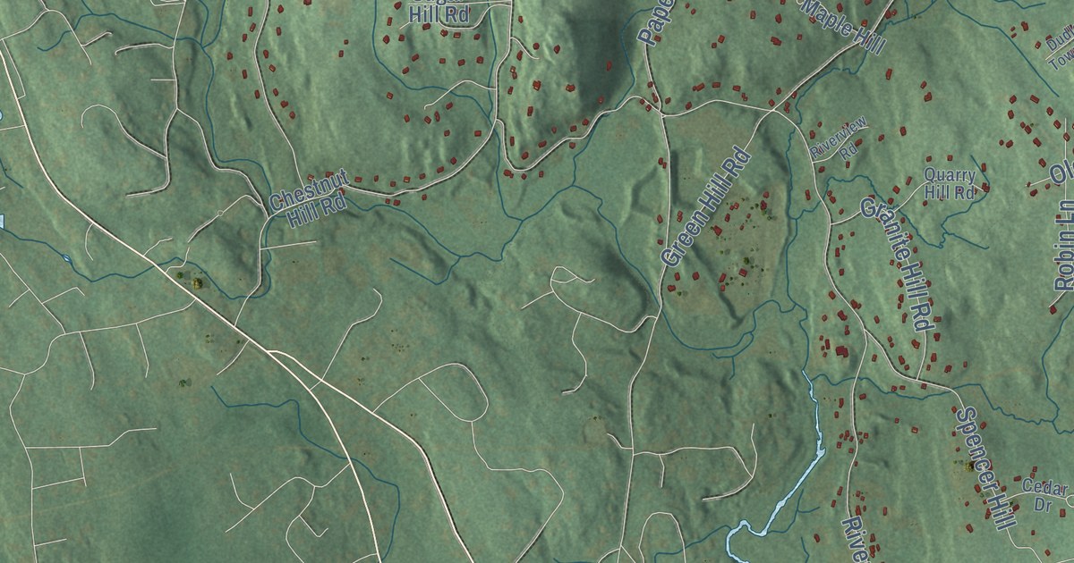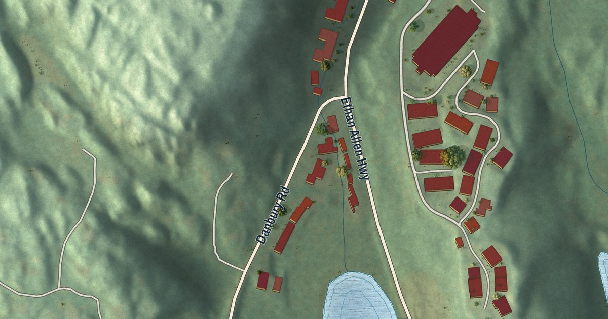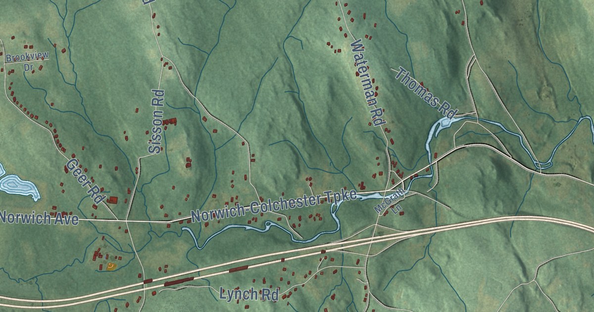
This beautifully detailed map of Lebanon, Connecticut was created in 2026 using aerial imagery combined with modern topographical, census, street and landmark data. It’s a one-of-a-kind view of Lebanon that combines accurate data with a vintage aesthetic. The map shows every building in its true location, many of the roads carry their names, and the shaded topographic relief shows the shape of the land.
See it on a wall
The Lebanon map as an 18 x 24 inch print in a black frame.

Explore an aerial view of Lebanon, Connecticut
On the map you’ll find Downtown, Babcock Hill, Bashon Hill, Blue Hill, Bourn Hill, Big Pond, Brousseous Pond, Bartlett Brook Wildlife Management Area, Mooween State Park, Village Hill, Exeter, Liberty Hill, and more. If you look closely you can even find your house accurately drawn in its correct location. Zoom in on the preview to look for yours. Click here to learn more about the history of Lebanon.
Take a closer look at the Lebanon map
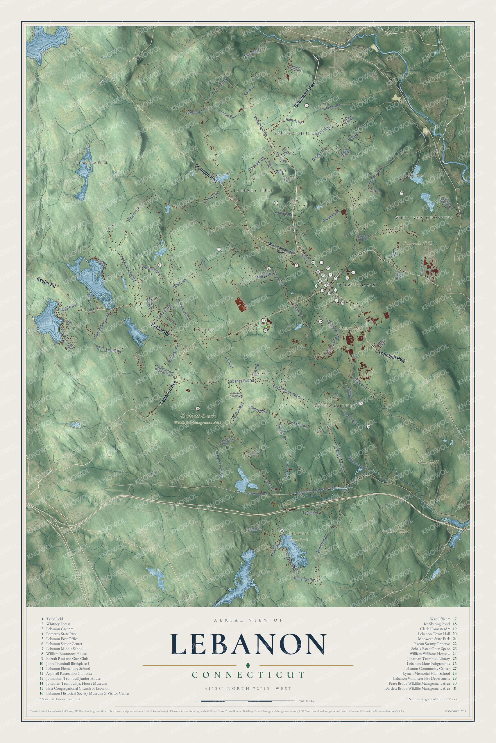
Click to explore a larger preview. The digital watermark does not appear on printed maps.
Names on this map
These names are printed on this map.
Places: Downtown, Babcock Hill, Bashon Hill, Blue Hill, Bourn Hill, Big Pond, Brousseous Pond, Bartlett Brook Wildlife Management Area, Mooween State Park, Village Hill, Exeter, Liberty Hill, Avery Corner and Williams Crossing.
Streets and roads: Beaumont Highway, Lebanon Avenue, Exeter Road, Trumbull Highway, Norwich Avenue, Kingsley Road, Goshen Hill Road, Waterman Road, Tobacco Street, Norwich-Colchester Turnpike, Clubhouse Road, Levita Road.
More street names, A to Z
Adams Heights Road, Babcock Hill Road, Barker Road, Bascom Road, Bender Road, Bogg Lane, Briggs Road, Brookview Drive, Browning Road, Burnham Road, Bush Hill Road, Camp Moween Road, Card Street, Chappell Road, Church Road, Clarke Road, Congdon Road, Cook Hill Road, Cove Road, Deepwood Drive, Dump Road, East Hebron Turnpike, First Street, Fowler Road, Francis Drive, Gates Farm Road, Gates Road, Geer Road, Goshen Heights Road, Goshen Hill Road Extended, Grand View Drive, Gregory Road, Hillcrest Heights, Horiska Road, Hoxie Road, Industrial Road, Jordan Road, Kick Hill Road, Krause Road, Lake Shore Drive, Lakeside Drive, Lakewood Drive, Ledge Road, Leonard Bridge Road, Lynch Road, Mack Road, Madley Road, McCall Road, McGrath Lane, Meadow Ridge Drive, North Street, Norwich-Hartford Turnpike, Old Colchester Road, Old Highway, Old Route 89, Olenick Road, Oliver Road, Rafferty Road, Randall Road, Reservoir Road, Roger Foote Road, Santa Anna Road, Schalk Road, Scott Hill Road, Seabury Road, Simons Road, Sisson Road, Smith Road, Spafford Road, Stagecoach Road, Synagogue Road, Taylor Bridge Road, Thomas Road, Valinsky Road, Village Hill Road, West Town Street, Williams Crossing Road, York Road.
This beautifully detailed map of Lebanon makes an attractive addition to your office, library, or den, and it can even be used to teach children the geography and history of the area. It also makes a great gift for someone who left Lebanon and still calls it home. When you’re done exploring, click here to get your copy of the Lebanon map.