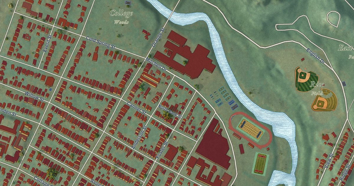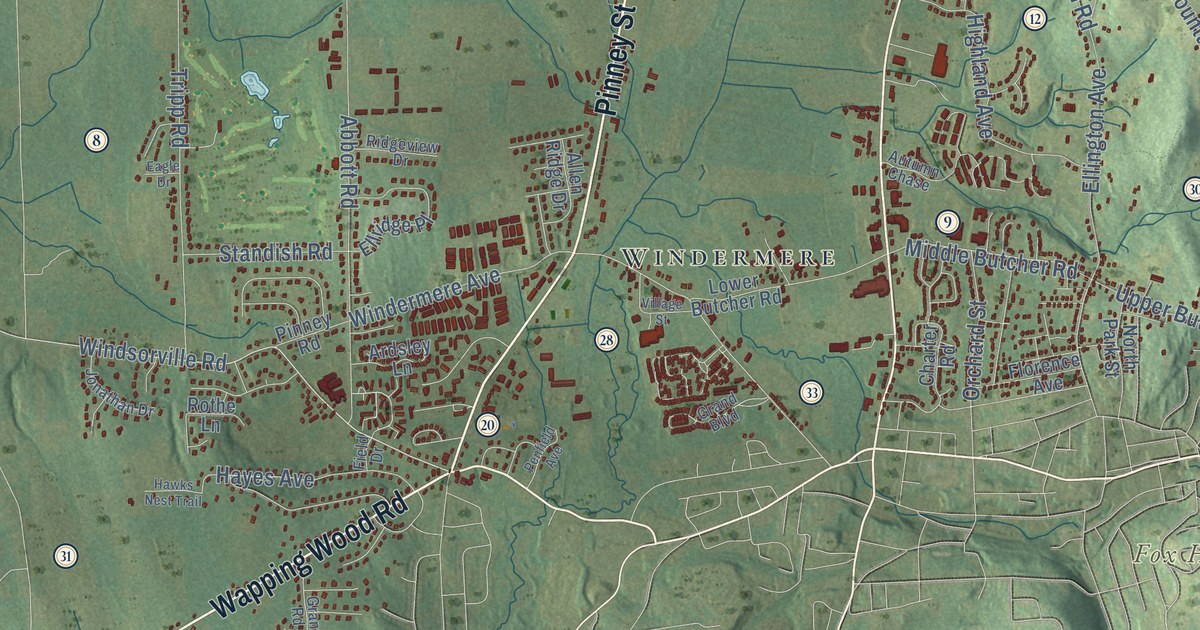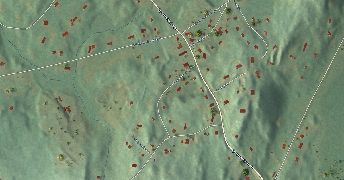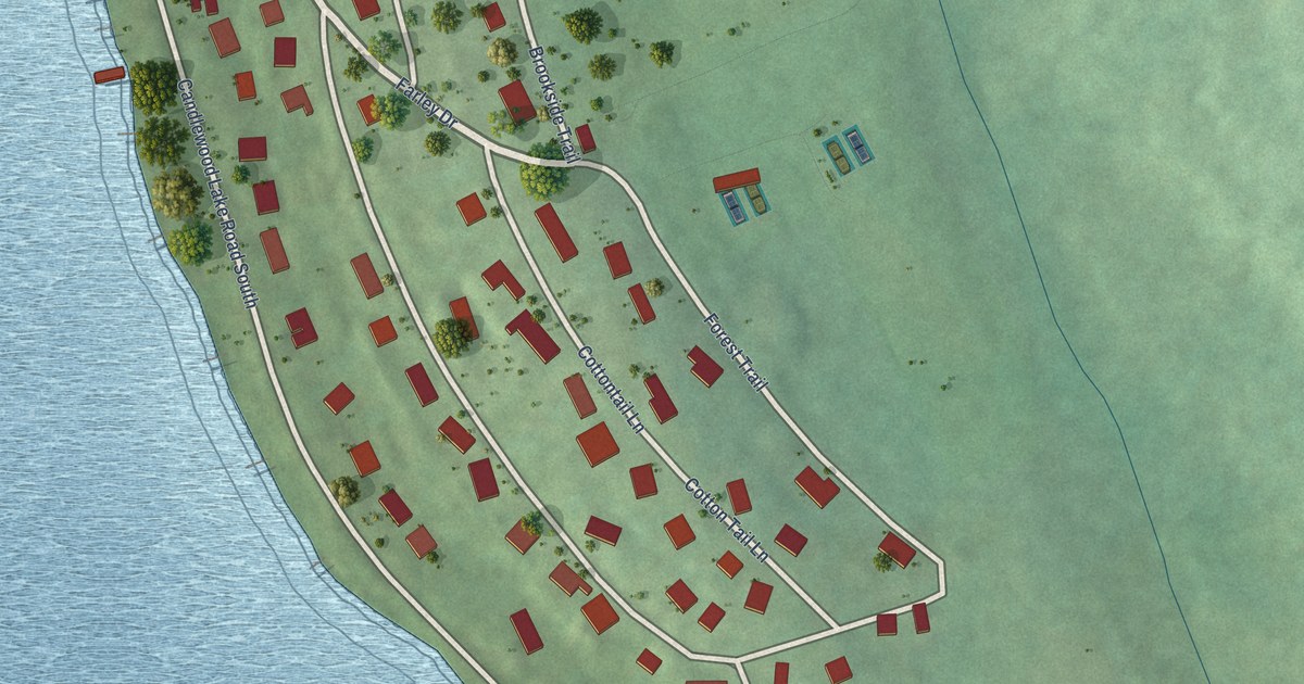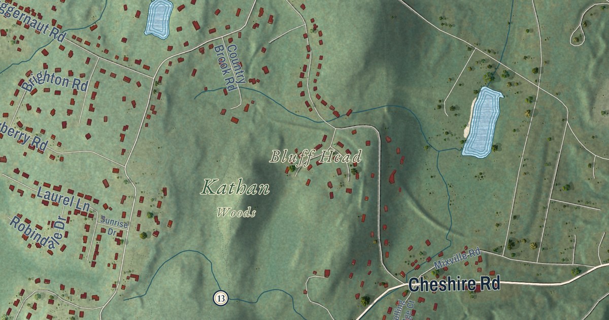
This beautifully detailed map of Prospect, Connecticut was created in 2026 using aerial imagery combined with modern topographical, census, street and landmark data. It’s a one-of-a-kind view of Prospect that combines accurate data with a vintage aesthetic. The map shows every building in its true location, many of the roads carry their names, and the shaded topographic relief shows the shape of the land.
See it on a wall
The Prospect map as an 18 x 24 inch print in a black frame.

Explore an aerial view of Prospect, Connecticut
On the map you’ll find Downtown, Beacon Cap, Bluff Head, Hopkins Hill, Beer Pond, Brooks Pond, Kathan Woods, and McGrath Park, along with Prospect Road, New Haven Road, Cheshire Road, Mountain Road, and more. If you look closely you can even find your house accurately drawn in its correct location. Zoom in on the preview to look for yours. Click here to learn more about the history of Prospect.
Take a closer look at the Prospect map
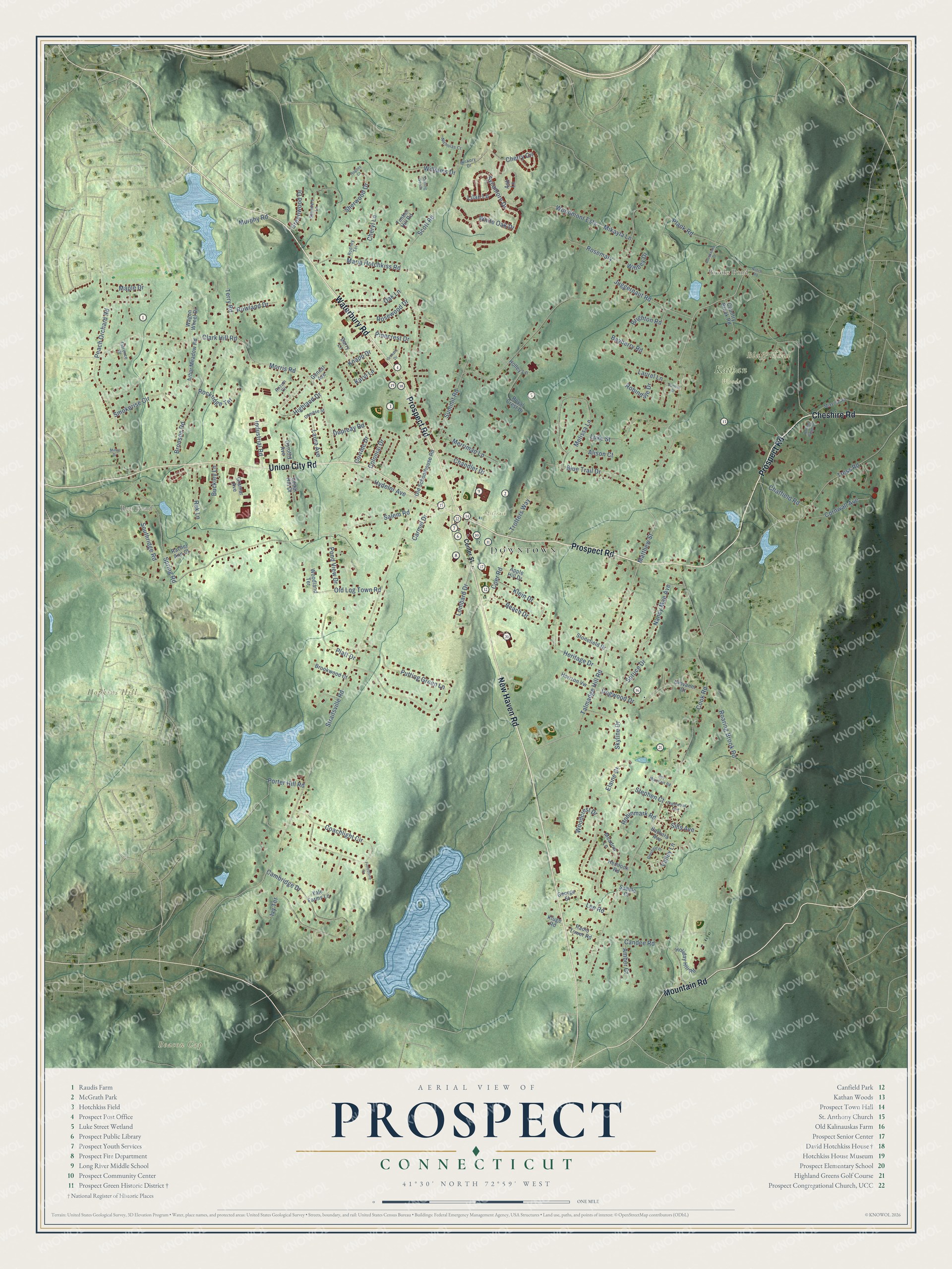
Click to explore a larger preview. The digital watermark does not appear on printed maps.
Names on this map
These names are printed on this map.
Places: Downtown, Beacon Cap, Bluff Head, Hopkins Hill, Beer Pond, Brooks Pond, Kathan Woods and McGrath Park.
Streets and roads: Prospect Road, New Haven Road, Cheshire Road, Mountain Road, Union City Road, Waterbury Road, Hydelor Avenue, Morris Road, Talmadge Hill Road, Matthew Street, Terry Road, Straitsville Road.
More street names, A to Z
Alison Court, Amber Court, Apple Hill Drive, Arbor Meadow Road, Ash Lane, Barbara Avenue, Barry Lane, Bayberry Road, Beach Drive, Blue Trail Drive, Brighton Road, Bronson Road, Brookshire Drive, Brookwood Court, Buckley Lane, Cambridge Drive, Candee Road, Carmel Drive, Cedar Hill Drive, Center Street, Chandler Drive, Chatfield Road, Cherry Circle, Cheryl Lane, Clark Hill Road, Coachlight Circle, Coer Road, Colonial Drive, Cook Road, Cornwall Avenue, Corrine Drive, Country Brook Road, Damase Street, Deerfield Drive, Dogwood Drive, Dorothy Avenue, Dupreay Road, Elaine Court, Englewood Avenue, Fieldstone Drive, Florence Drive, Genest Avenue, George Street, Giovanni Drive, Gramar Avenue, Greenwood Drive, Hemlock Road, Heritage Drive, Hickory Drive, Highland Drive, Holiday Hill Road, Holley Lane, Horizon Vw, Hughes Court, Industrial Road, Ivy Terrace, Juggernaut Road, Karyl Lane, Klein Drive, Kluge Road, Knapp Drive, Laura Avenue, Laurel Lane, Lee Road, Lilac Lane, Lombard Drive, Luke Street, Maple Drive, Maria Hotchkiss Road, Meadow Lane, Melissa Lane, Merriman Lane, Mikayla Lane, Miller Drive, Mixville Road, Murphy Road, Nancy Mae Avenue, Nicholas Court, Notch Road, Oak Lane, Old Log Town Road, Old Schoolhouse Road, Orchard Drive, Peach Orchard Road, Pinecrest Drive, Plank Road, Platt Drive, Pond View Drive, Porter Hill Road, Putting Green Lane, Rachel Ann Court, Radio Tower Road, Rek Lane, Roaring Brook Road, Robindale Drive, Robinmark Road, Rockridge Terrace, Rodney Terrace, Rolling Ridge Court, Rosemary, Rosewood Drive, Rowland Drive, Royal Crest Drive, Roy Mountain Road, Rozum Circle, Saddle Court, Salem Road, Saunders Lane, Scott Road, Sherwood Drive, Sills Avenue, Skyline Drive, Smokerise Circle, Southridge Road, Spring Road, Spruce Drive, Stephen Court, Sterling Woods, Stonefield Drive, Summit Road, Sunrise Drive, Sycamore Drive, Timber Hill Road, Tress Road, Trotters Way, Valley Lane, Wagon Wheel Drive, White Oak Drive, Wihbey Drive, Williams Drive, Woodcrest Drive, Woodland Terrace, Woodmont Ests, Yale Farms Lane.
This beautifully detailed map of Prospect makes an attractive addition to your office, library, or den, and it can even be used to teach children the geography and history of the area. It also makes a great gift for someone who left Prospect and still calls it home. When you’re done exploring, click here to get your copy of the Prospect map.