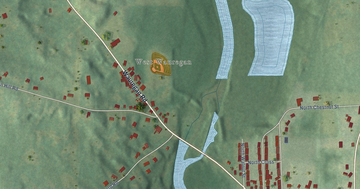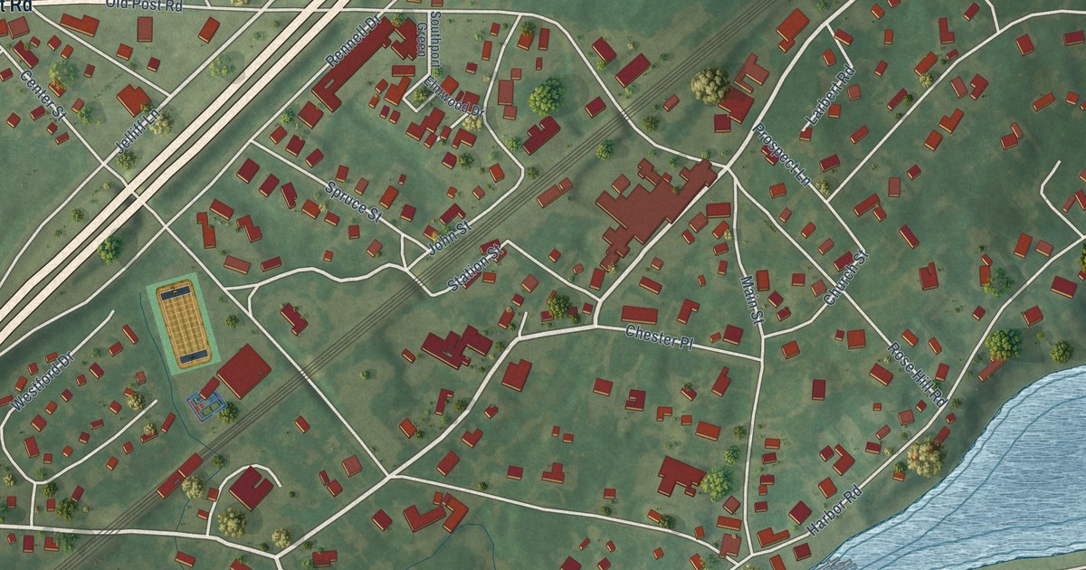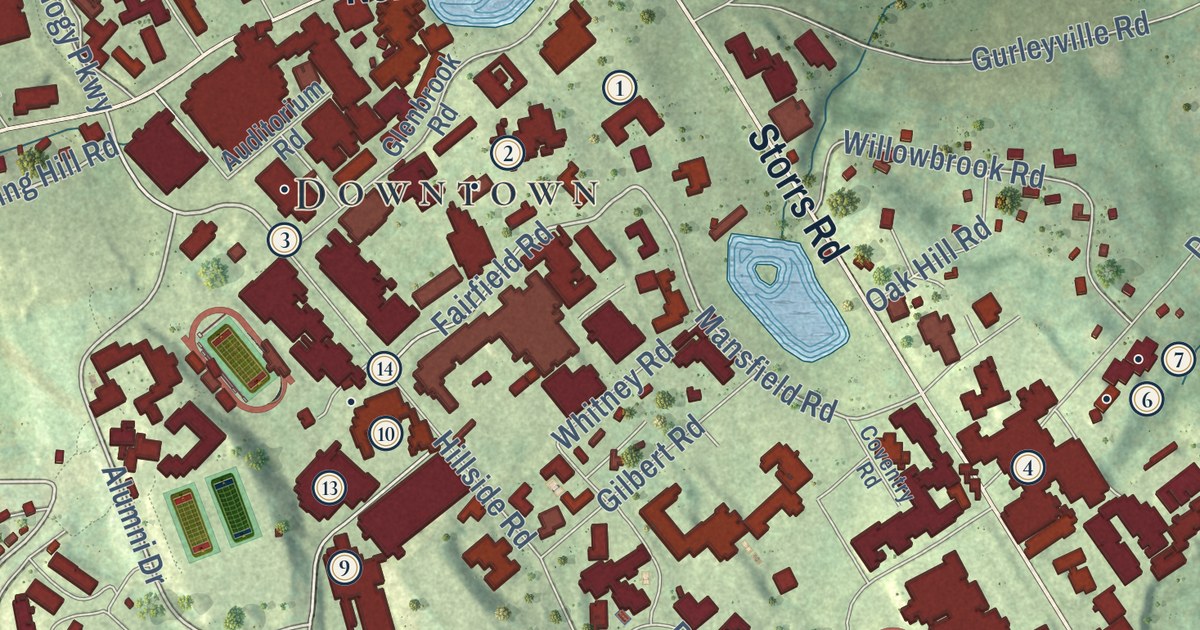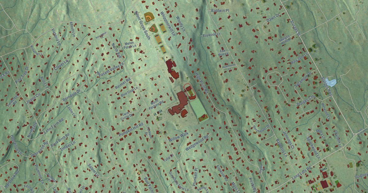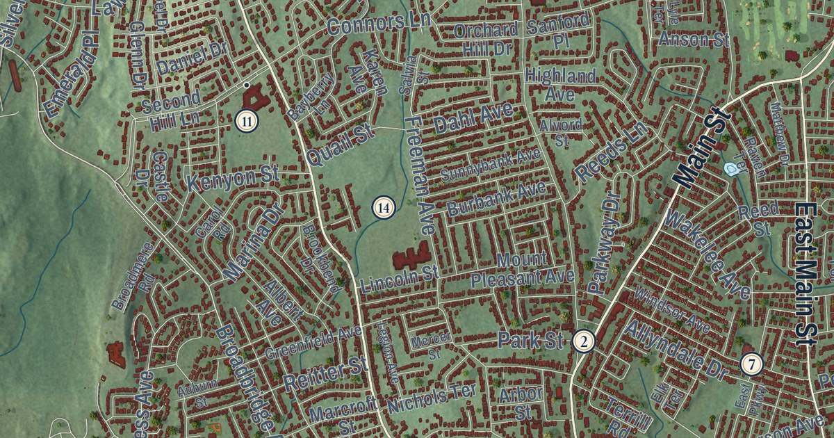
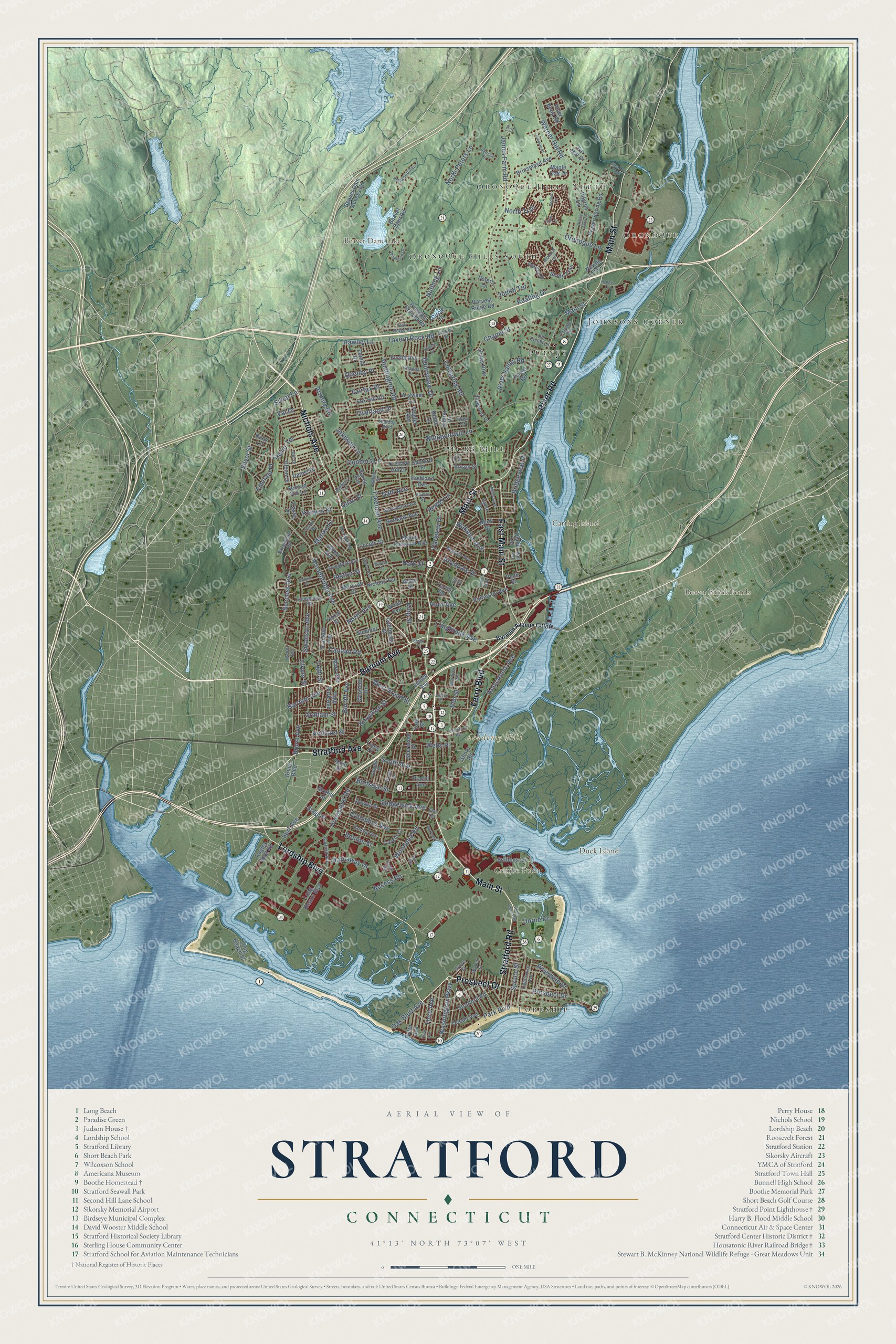
This beautifully detailed map of Stratford, Connecticut was created in 2026 using aerial imagery combined with modern topographical, census, street and landmark data. It’s a one-of-a-kind view of Stratford that combines accurate data with a vintage aesthetic. The map shows every building in its true location, many of the roads carry their names, and the shaded topographic relief shows the shape of the land.
Explore an aerial view of Stratford, Connecticut
On the map you’ll find Lordship, Oronoque Hills North, Oronoque, Academy Hill, Carting Island, Crimbo Point, Duck Island, Beaver Brook Ponds, Beaver Dam Lake, Putney, Pecks Mill, Johnsons Corner, and more. If you look closely you can even find your house accurately drawn in its correct location. Zoom in on the preview to look for yours. Click here to learn more about the history of Stratford.
Take a closer look at the Stratford map
Names on this map
These names are printed on this map.
Places: Lordship, Oronoque Hills North, Oronoque, Academy Hill, Carting Island, Crimbo Point, Duck Island, Beaver Brook Ponds, Beaver Dam Lake, Putney, Pecks Mill, Johnsons Corner and Oronoque Hills South.
Streets and roads: Main Street, Nichols Avenue, Barnum Avenue, Ferry Boulevard, Stratford Road, Prospect Drive, Stratford Avenue, River Road, East Main Street, Lordship Boulevard, Broadbridge Avenue, Warner Hill Road.
More street names, A to Z
Access Road, Adams Street, Agawam Drive, Albert Avenue, Allyndale Drive, Alvord Street, Anson Street, Arbor Street, Armory Road, Ashwood Terrace, Auburn Street, Avon Street, Barnum Avenue Cutoff, Bayberry Lane, Beaver Dam Access Road, Beaver Dam Road, Benton Street, Birdseye Street, Bridgeview Place, Brinsmayd Avenue, Broadmere Road, Brookbend Drive, Bruce Avenue, Bruce Boulevard, Bulldog Boulevard, Bunnyview Drive, Burbank Avenue, Burritt Avenue, California Street, Canaan Road, Carol Road, Castle Drive, Chanda Drive, Chapel Street, Circle Drive, Clover Street, Columbus Avenue, Connors Lane, Cutspring Road, Dahl Avenue, Daniel Drive, Del Drive, Dewey Street, Diane Terrace, Dodge Avenue, Dorne Drive, Dover Street, Eagles Nest Road, East Parkway, Elk Terrace, Elm Street, Elm Terrace, Emerald Place, Erie Lane, Essex Place, Euclid Avenue, Fairfax Drive, Far Mill Drive, Fifth Avenue, Flagler Avenue, Forest Road, Founders Way, Fox Hill Road, Franklin Avenue, Freeman Avenue, Garfield Avenue, Glenn Drive, Graham Street, Greenfield Avenue, Grove Street, Hall Road, Harding Avenue, Harvest Ridge Road, Hathaway Drive, Hawley Lane, Highland Avenue, High Park Avenue, Hilltop Drive, Hinman Street, Hollister Street, Honeyspot Road, Housatonic Avenue, Huntington Road, Hurd Avenue, James Farm Road, Johnson Lane, Judith Terrace, Judson Place, Karen Avenue, Keating Drive, Kenyon Street, Kings Row, King Street, Knowlton Street, Larkin Court, Lawlor Terrace, Legion Avenue, Leo Lane, Lighthouse Avenue, Light Street, Lilibeth Drive, Lincoln Street, Linden Avenue, Lines Place, Linton Street, Long Beach Boulevard, Long Beach Street, Longbrook Avenue, Lyle Terrace, Maple Oak Drive, Marcroft Street, Marina Drive, Mary Avenue, Matthew Drive, McPadden Drive, Mercer Street, Midwood Trail, Moffitt Street, Mount Pleasant Avenue, Navajo Lane, Nichols Terrace, North Avenue, North Peters Lane, North Trail, Nutmeg Lane, Oak Bluff Avenue, Oak Ridge Road, Ocean Avenue, Old Coach Lane, Orchard Hill Drive, Oronoque Lane, Overland Drive, Park Boulevard, Park Street, Parkway Drive, Patricia Drive, Patterson Avenue, Peace Acre Lane, Peck Street, Pequot Lane, Peters Lane, Pilgrim Lane, Pine Tree Trail, Placid Avenue, Prayer Spring Road, Pumpkin Ground Road, Quail Street, Quenby Place, Raven Terrace, Reeds Lane, Reed Street, Reitter Street, River Bend Road, Riverdale Drive, River Valley Road, Robin Lane, Rosebrook Drive, Ruby Lane, Ryan Avenue, Ryders Lane, Salvia Street, Sanford Place, Second Hill Lane, Sedgewick Avenue, Shea Terrace, Sherwood Place, Shore Road, Short Beach Road, Silver Lane, Silver Street, Sniffens Lane, South Avenue, South Trail, Spruce Street, Stagg Street, Stonybrook Road, Success Avenue, Summer Street, Sunnybank Avenue, Surf Avenue, Swanson Avenue, Tavern Rock Road, Terrill Road, Third Avenue, Val Drive, Wakelee Avenue, Walnut Street, Warwick Avenue, Washington Parkway, Weber Avenue, Wells Place, West Broad Street, Whippoorwill Lane, Wigwam Lane, Wildwood Drive, Windsor Avenue, Winfield Drive, Wood Avenue, Woodend Road, Yale Street, Yukon Street, Zenith Drive.
See it on a wall
The Stratford map as an 18 x 24 inch print in a black frame.

This beautifully detailed map of Stratford makes an attractive addition to your office, library, or den, and it can even be used to teach children the geography and history of the area. It also makes a great gift for anyone with Stratford roots. When you’re done exploring, click here to get your copy of the Stratford map.