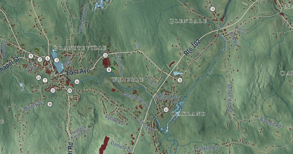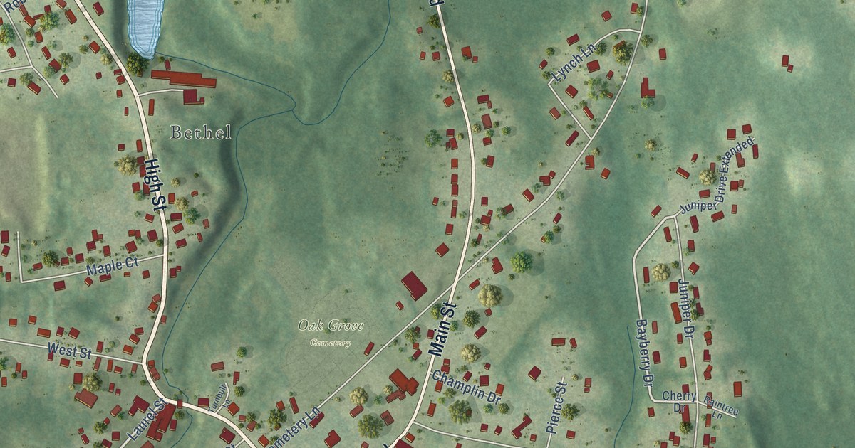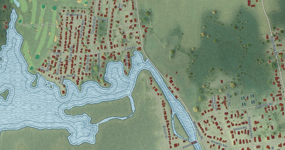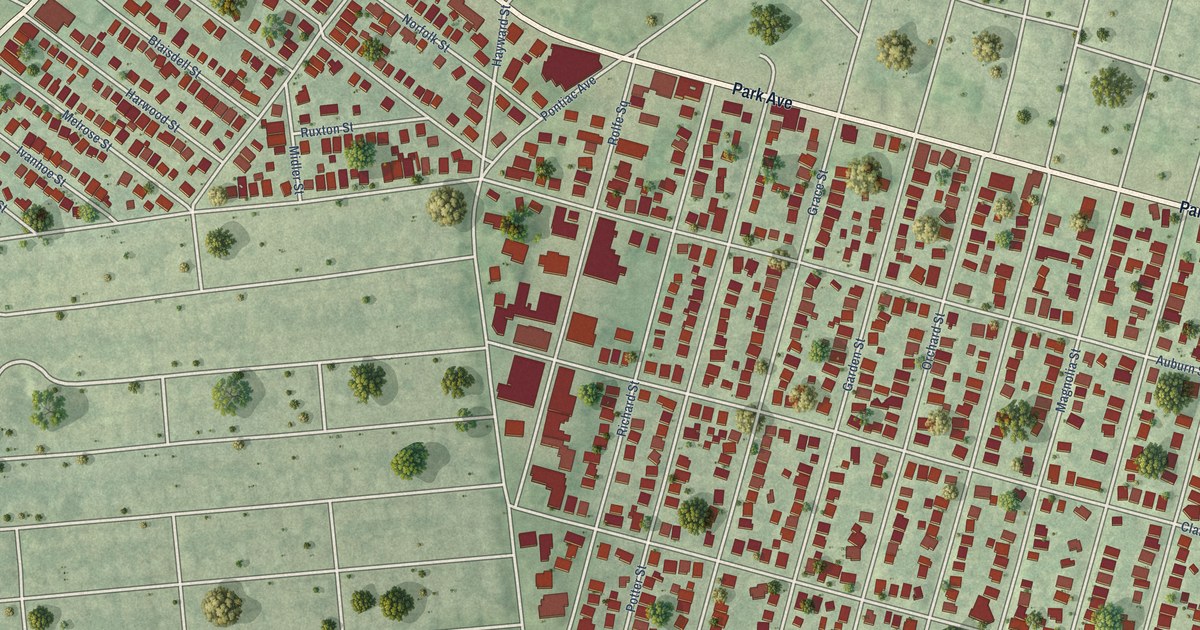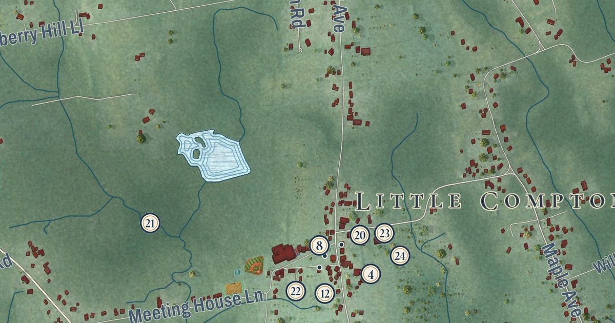
This beautifully detailed map of Little Compton, Rhode Island was created in 2026 using aerial imagery combined with modern topographical, census, street and landmark data. It’s a one-of-a-kind view of Little Compton that combines accurate data with a vintage aesthetic. The map shows every building in its true location, many of the roads carry their names, and the shaded topographic relief shows the shape of the land.
See the Little Compton, Rhode Island map on a wall
The Little Compton map as an 18 x 24 inch print in a black frame.

Explore an aerial view of Little Compton, Rhode Island
On the map you’ll find Little Compton Town Hall, Adamsville, Sakonnet, Pottersville, Bahia Corner, and Eight Rod Farm, along with West Main Road, Sakonnet Point Road, Stone Church Road, Maple Avenue, Brownell Road, Shaw Road, and more. If you look closely you can even find your house accurately drawn in its correct location. Zoom in on the preview to look for yours.
Did you know this piece of Little Compton, Rhode Island history?
Little Compton began as Sakonnet, the home of the Sakonnet people and their female sachem, Awashonks. In King Philip’s War she let some of her soldiers join the English. In return the English promised not to sell the women and children into slavery. In 1682 Plymouth Colony incorporated Sakonnet as Little Compton.
Take a closer look at the Little Compton map
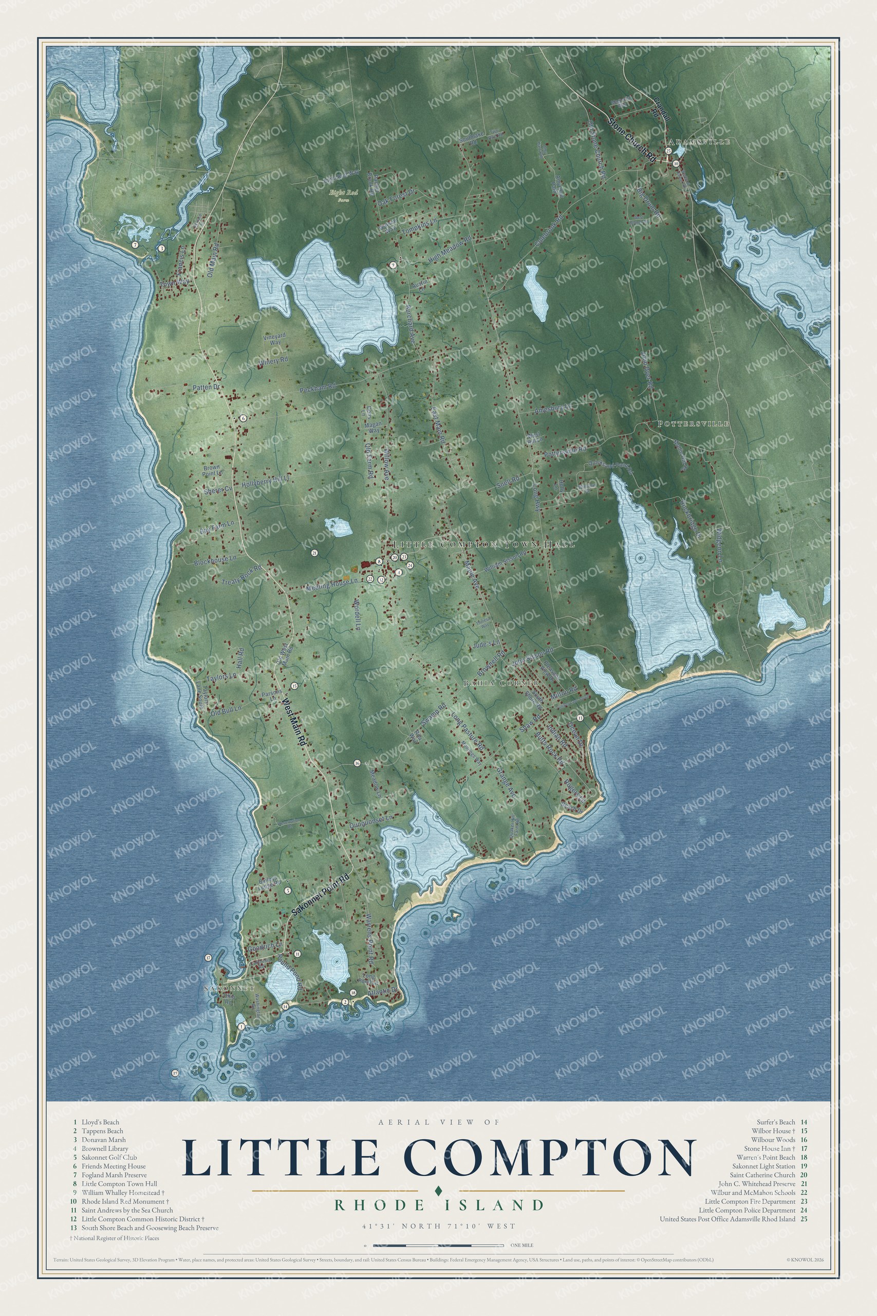
Click to explore a larger preview. The digital watermark does not appear on printed maps.
Street and place names on the Little Compton, Rhode Island map
These names are printed on the map of Little Compton, Rhode Island.
Places: Little Compton Town Hall, Adamsville, Sakonnet, Pottersville, Bahia Corner and Eight Rod Farm.
Streets and roads: West Main Road, Sakonnet Point Road, Stone Church Road, Maple Avenue, Brownell Road, Shaw Road, Warrens Point Road, Long Highway, Peckham Road, John Dyer Road, Colebrook Road, East Main Road.
More street names, A to Z
Amesbury Lane, Amy Hart Path, Amy Hart Pth, Atlantic Drive, Austin Lane, Baileys Ledge Road, Bay Farm Lane, Beach Drive, Bernard Lane, Big Drum Road, Blockhouse Lane, Brown Point Lane, Burchard Avenue, Butts Rock Road, California Road, Crandall Road, Dons Lane, Eight Rod Way, Francis Lane, Goodrich Lane, Grange Avenue, Hall Road, High Meadow Road, Hollyberry Hill Ll, Holly Lane, Indian Road, John Sisson Road, Jude's Lane, Long Pasture Road, Long Pond Lane, Magan Way, Magnolia Way, Meadow Lane, Meeting House Lane, Milton Road, Moorings Way, Mullin Hill Road, Oak Forest Drive, Ocean Drive, Ohio Road, Old Bull Lane, Old Farm Road, Old Main Road, Old Stone Church Road, Old West Main Road, Pachet Brook Road, Parsons Lane, Patten Drive, Pleasant View Drive, Pottersville Road, Quaker Hill Farm Road, Quicksand Pond Road, Quoquonset Lane, Reservation Road, Rita Way, Rockbridge Drive, Rogers Lane, Round Pond Road, Sherer Cv, Snell Road, Southlake Road, South Shore Road, Swamp Road, Taylors Lane, Taylors Lane South, Theresa Way, Tompkins Lane, Town Way, Treaty Rock Road, Tuniper Lane South, Two Rod Road, Vineyard Way, Washington Road, Watson Way, West Branch Road, West Hill Lane, Westport Harbor Road, Widgeon Lane, William Sisson Road, Willow Avenue, Winery Road, Winslow Road, Wordell Lane.
This beautifully detailed map of Little Compton makes an attractive addition to your office, library, or den, and it can even be used to teach children the geography and history of the area. It also makes a great gift for anyone with Little Compton roots. When you’re done exploring, click here to get your copy of the Little Compton map.