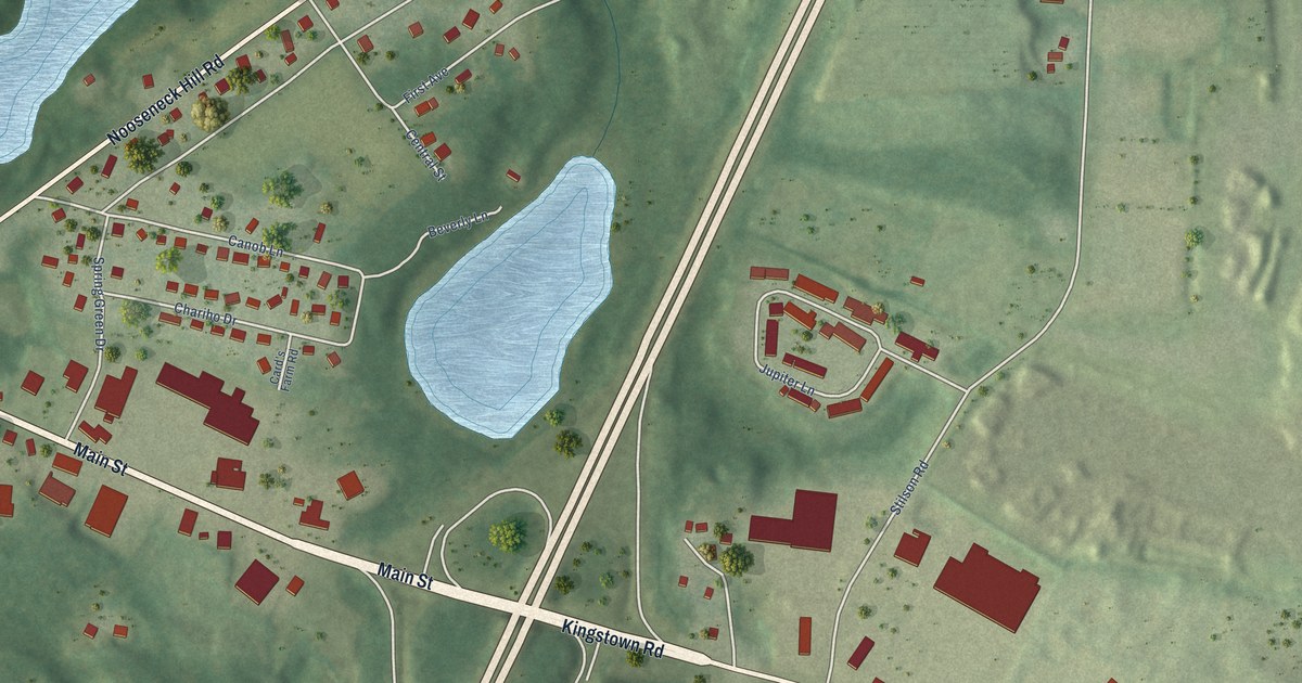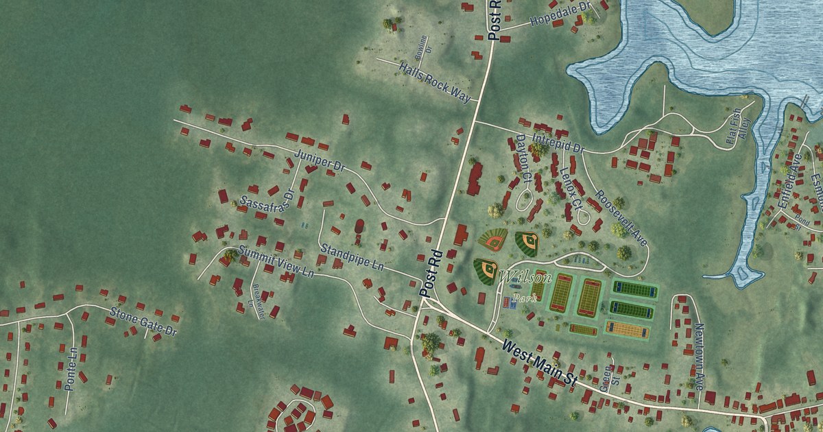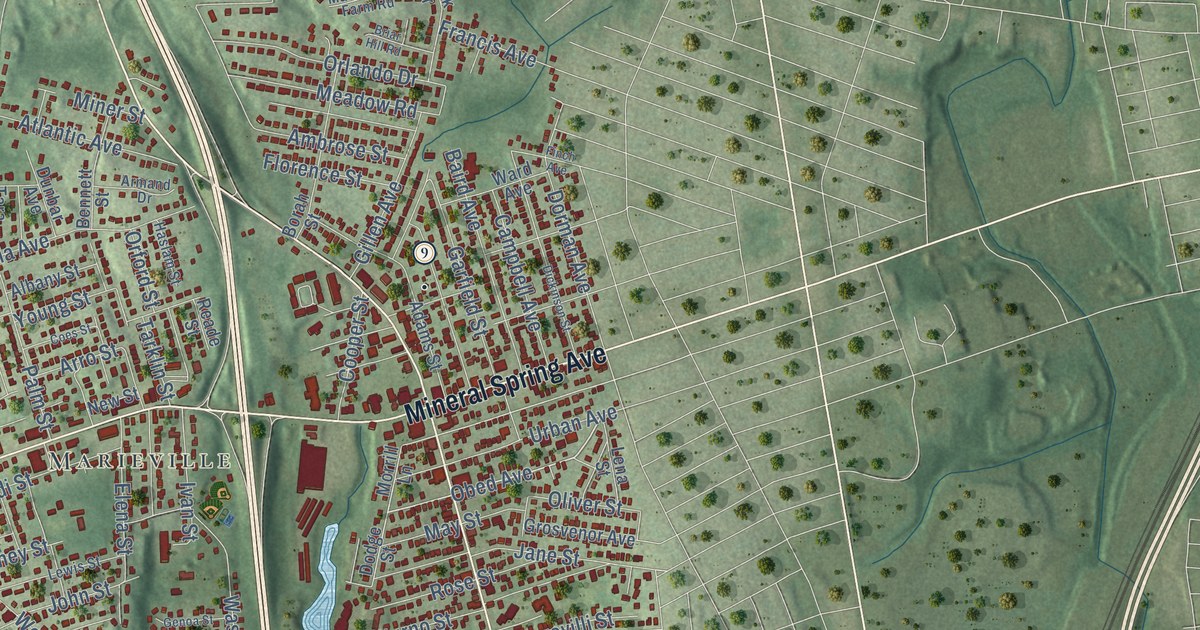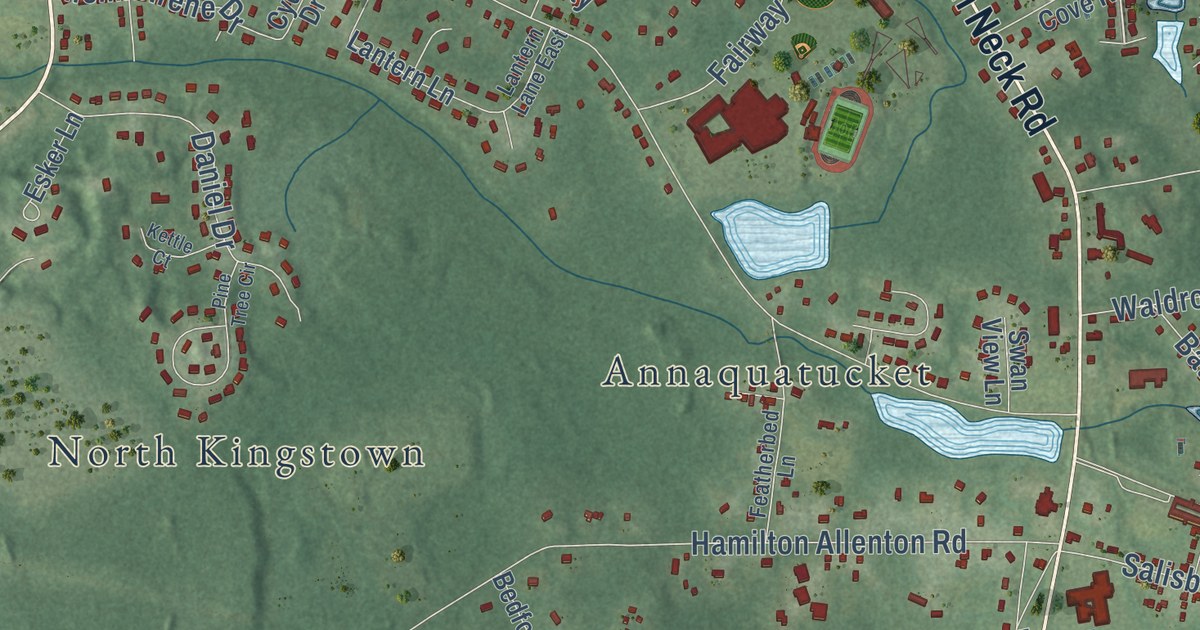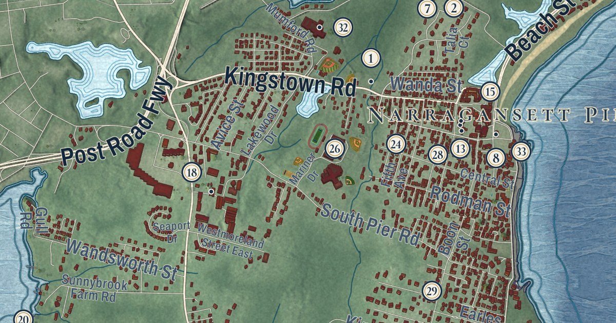
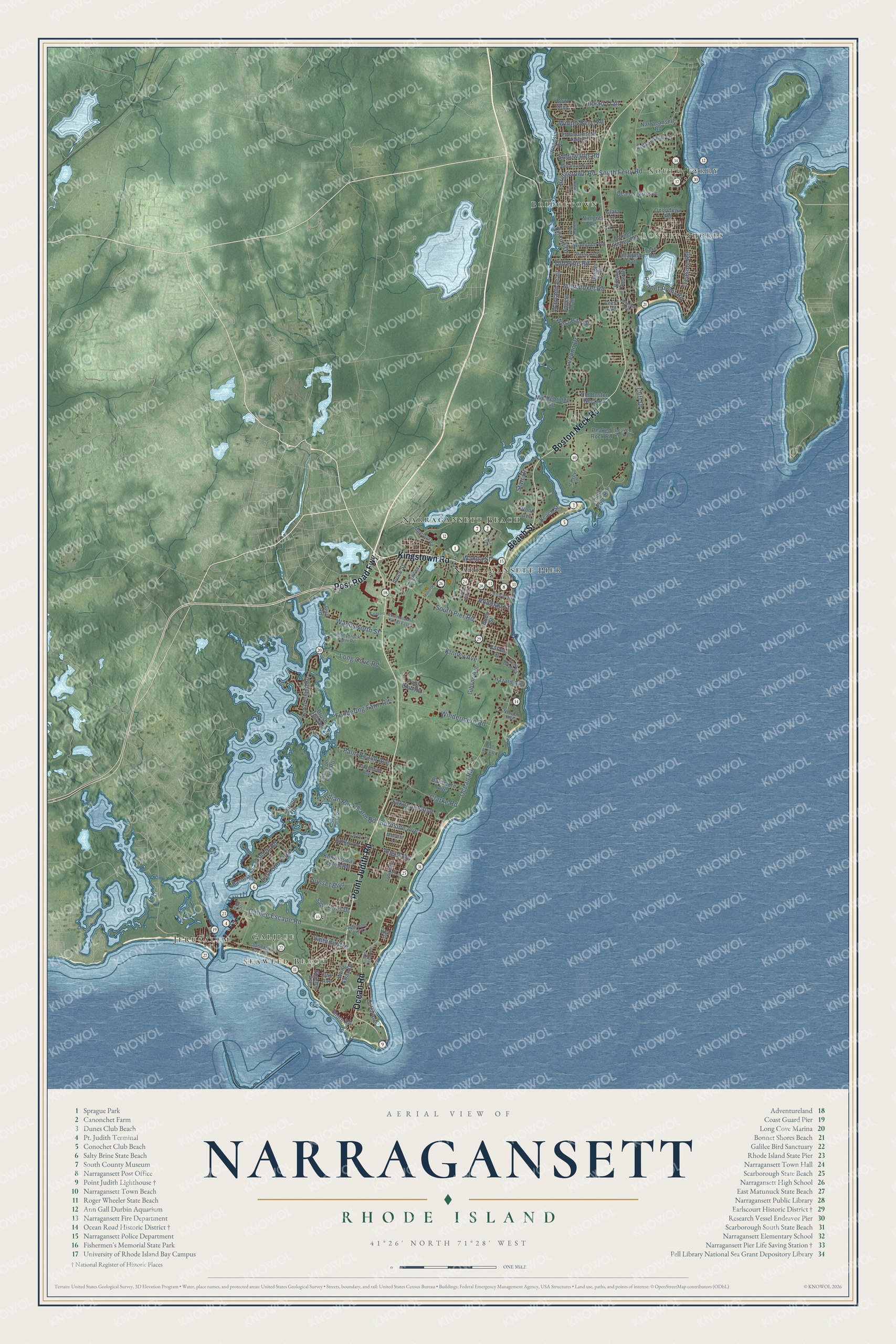
This beautifully detailed map of Narragansett, Rhode Island was created in 2026 using aerial imagery combined with modern topographical, census, street and landmark data. It’s a one-of-a-kind view of Narragansett that combines accurate data with a vintage aesthetic. The map shows every building in its true location, many of the roads carry their names, and the shaded topographic relief shows the shape of the land.
See the Narragansett, Rhode Island map on a wall
The Narragansett map as an 18 x 24 inch print in a black frame.

Explore an aerial view of Narragansett, Rhode Island
On the map you’ll find South Ferry, Bonnet Shores, Jerusalem, Narragansett Beach, Narragansett Pier, Bridgetown, Seaweed Beach, Galilee, and Post Road Fwy, along with Point Judith Road, Kingstown Road, Boston Neck Road, and more. If you look closely you can even find your house accurately drawn in its correct location. Zoom in on the preview to look for yours.
Did you know this piece of Narragansett, Rhode Island history?
The town took its name from the Narragansett nation. It split from South Kingstown in 1888 and became its own town in 1901. Its ocean beaches made it a summer resort, and southerly Atlantic swells draw surfers to its shore.
Take a closer look at the Narragansett map
Click to explore a larger preview. The digital watermark does not appear on printed maps.
Street and place names on the Narragansett, Rhode Island map
These names are printed on the map of Narragansett, Rhode Island.
Places: South Ferry, Bonnet Shores, Jerusalem, Narragansett Beach, Narragansett Pier, Bridgetown, Seaweed Beach and Galilee.
Streets and roads: Point Judith Road, Kingstown Road, Post Road Fwy, Boston Neck Road, Beach Street, Ocean Road, Old Pine Road, East Shore Road, West Bay Drive, Mettatuxet Road, Galilee Escape Road, South Pier Road.
More street names, A to Z
Allagash Trail, Angell Road, Anna Olivo Court, Avice Street, Baltimore Avenue, Basin Road, Bass Rock Road, Birchwood Drive, Bonnet Point Road, Bonnet Shores Road, Bonnet View Drive, Boon Street, Bow Run, Bridgetown Road, Brush Hill Road, Burnside Avenue, Calef Avenue, Carver Lane, Cedar Island Road, Central Street, Circuit Drive, Clara Lane, Clarke Road, Cliff Drive, Conch Road, Crest Avenue, Crosswynds Drive, Dean Knauss Drive, Durkin Drive, Earles Court, Edgewater Road, Fifth Avenue, Foddering Farm Road, Gibson Avenue, Gull Road, Harvey Lane, Hazard Avenue, High Street, Indian Rock Farm Road, Indian Trail, Johnson Avenue, Joy Lane, Juniper Trail, Kenyon Farm Road, Kinney Avenue, Knowlesway Extended, Lake Road, Lakewood Drive, Lakeworth Avenue, Leeann Drive, Long Cove Road, Longview Drive, Marine Drive, Mariner Drive, Melville Lane, Middlebridge Road, Montauk Road, Mumford Road, Narragansett Road, Newton Avenue, Ninigret Road, Oak Avenue, Old Boston Neck Road, Old Ocean Road, Onondega Road, Palm Beach Avenue, Peaked Rock Lane, Peaked Rock Road, Pettaquamscutt Lake Road, Polo Club Road, Pontiac Road, Rodman Street, Rye Point Road, Sakonnet Boulevard, Saltaire Avenue, Salty Acres Drive, Sand Hill Cove Road, Saybrook Avenue, Schooner Cove Lane, Seaport Drive, Shore Road, South Ferry Road, Stanton Avenue, Starr Drive, State Street, Sunnybrook Farm Road, Sunset Boulevard, Talia Court, Thule Cove Road, Treasure Road, Tupelo Trail, Wampum Road, Wanda Street, Wandsworth Street, Wayland Trail, Westmoreland Street East, White Swan Drive, Windermere Road, Winter Berry Road, Wood Avenue, Woodsia Road.
This beautifully detailed map of Narragansett makes an attractive addition to your office, library, or den, and it can even be used to teach children the geography and history of the area. It also makes a great gift for anyone who grew up in Narragansett or moved away. When you’re done exploring, click here to get your copy of the Narragansett map.