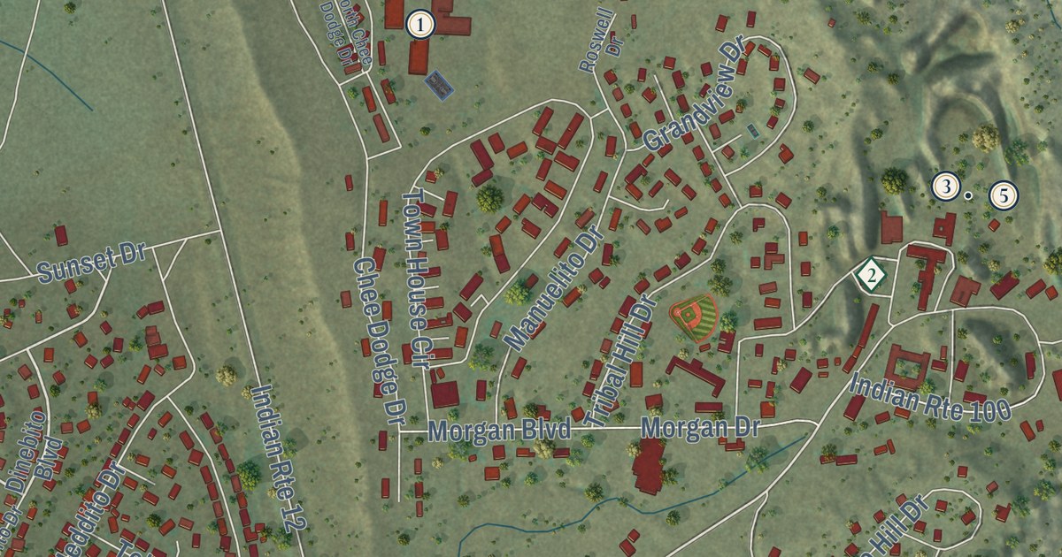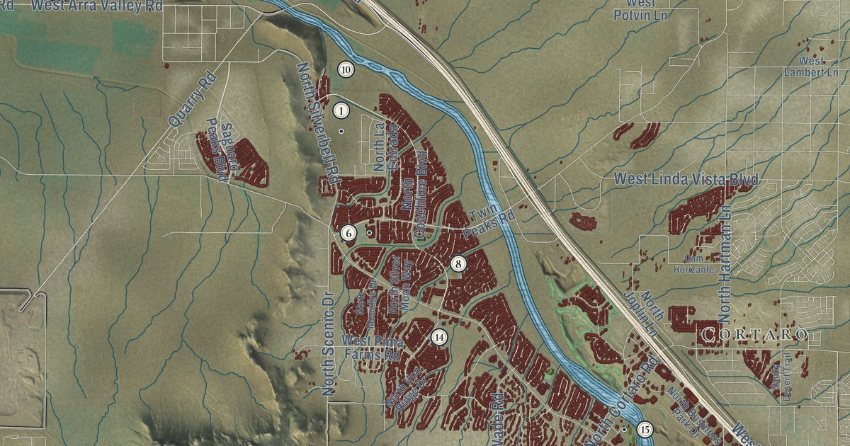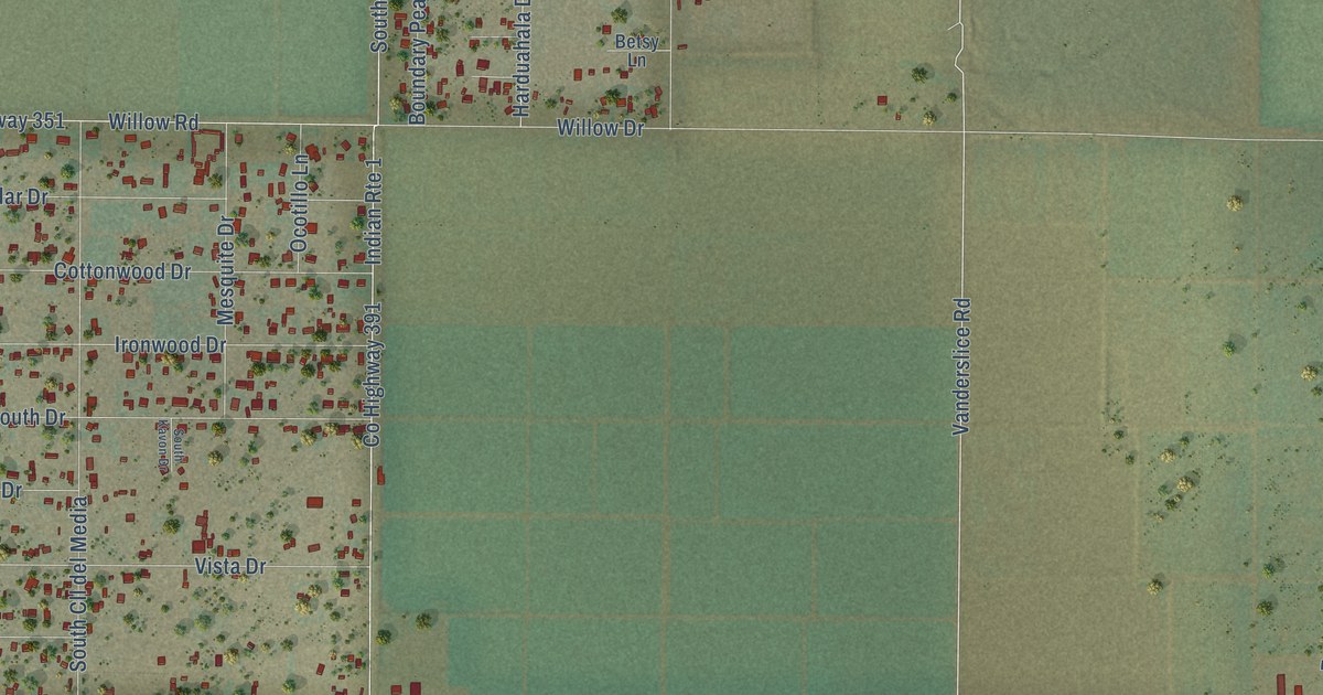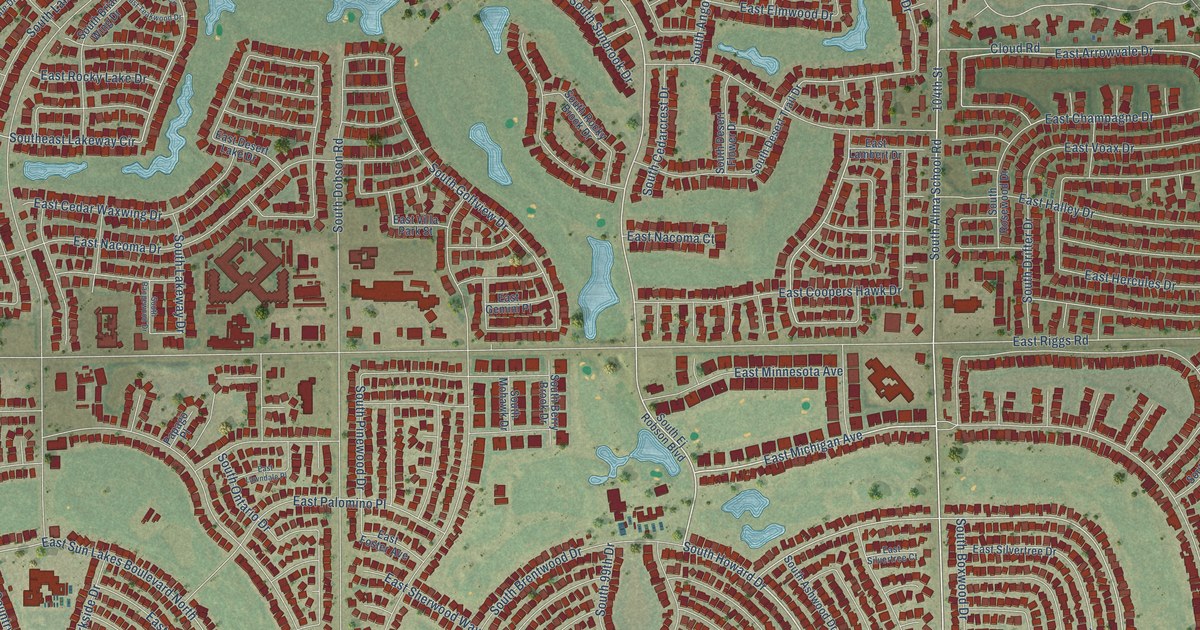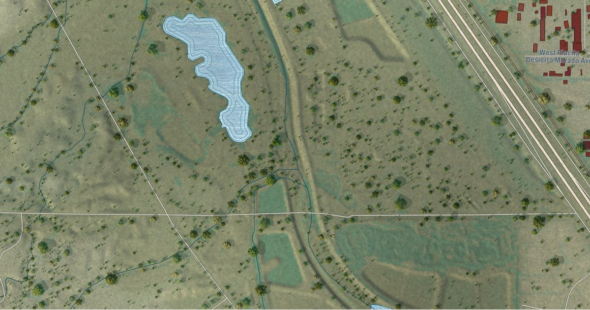
This beautifully detailed map of Flowing Wells, Arizona was created in 2026 using aerial imagery combined with modern topographical, census, street and landmark data. It’s a one-of-a-kind view of Flowing Wells that combines accurate data with a vintage aesthetic. The map shows every building in its true location, many of the roads carry their names, and the shaded topographic relief shows the shape of the land.
See the Flowing Wells, Arizona map on a wall
The Flowing Wells map as an 18 x 24 inch print in a black frame.

Explore an aerial view of Flowing Wells, Arizona
On the map you’ll find Jaynes, Iroquis, Chipawa, Casita, and Suza, along with West Hadley Street, West Diamond Street, North Frontage Road, North Emerald Avenue, West River Road, North Casa Grande Highway, West Ruthrauff Road, and more. If you look closely you can even find your house accurately drawn in its correct location. Zoom in on the preview to look for yours.
Take a closer look at the Flowing Wells map
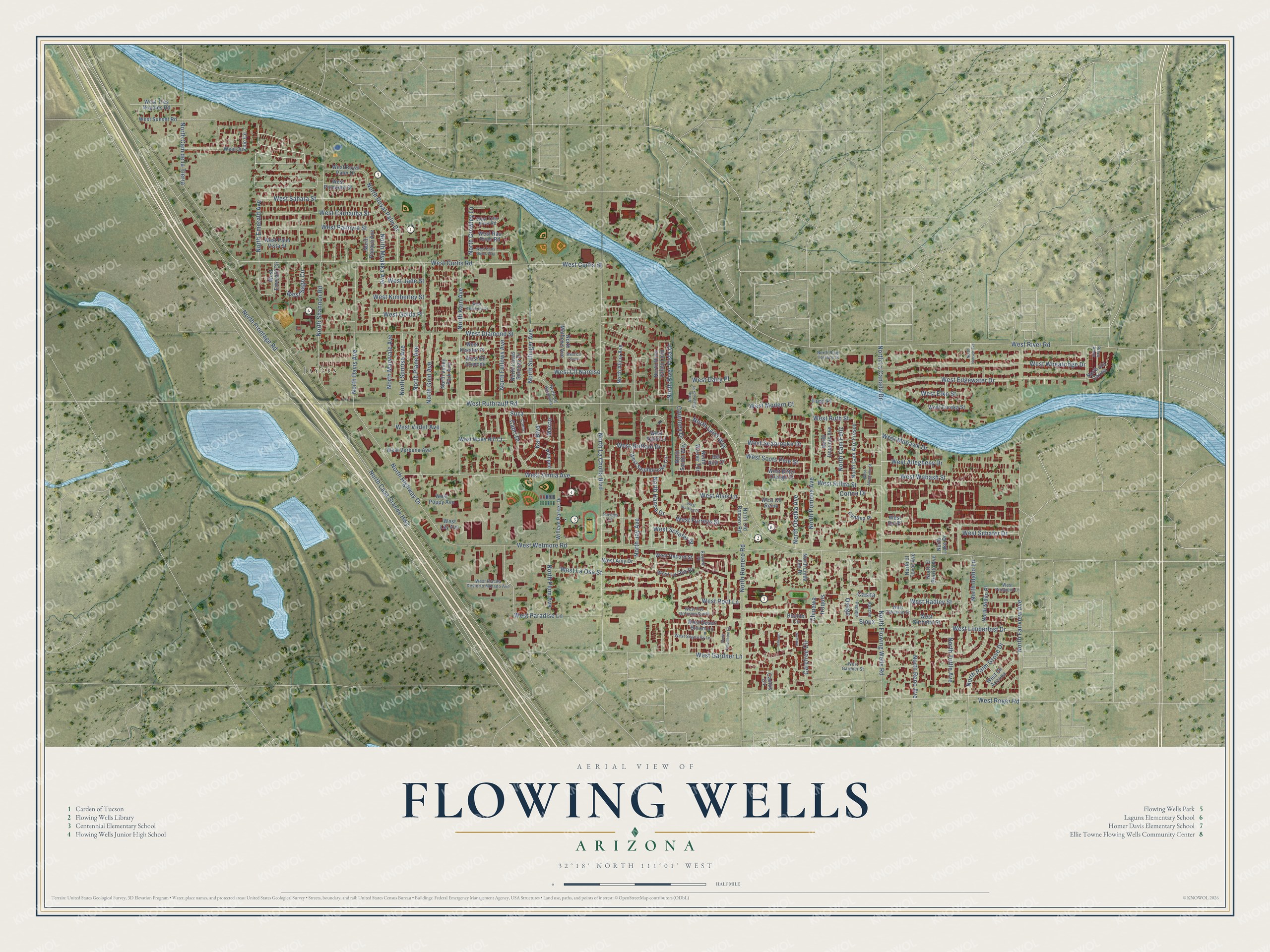
Click to explore a larger preview. The digital watermark does not appear on printed maps.
Street and place names on the Flowing Wells, Arizona map
These names are printed on the map of Flowing Wells, Arizona.
Places: Jaynes.
Streets and roads: West Hadley Street, Iroquis, Chipawa, West Diamond Street, Casita, North Frontage Road, North Emerald Avenue, Suza, West River Road, North Casa Grande Highway, West Ruthrauff Road, West Wetmore Road.
More street names, A to Z
Allison, Apache, Bel Aire Court, Boulder Circle, Cactus Circle, Capri Drive, Carefree Circle, Como, Corina Drive, Courtney Drive, Cynthia Place, Ford Place, Furreys Lane, Kai Boulevard, Marco, North Alicia Avenue, North Cam Aire Fresco, North Cam de la Tierra, North Cam Feliz, North Casas Serenas Drive, North Cll Harmonia, North Columbine Lane, North Crowley Lane, North Davis Avenue, North El Burrito Avenue, North El Tovar Avenue, North Fairview Avenue, North Fellows Avenue, North Flowing Wells Road, North Gold Avenue, North Hansa Drive, North Hansen Avenue, North Highway Drive, North Idaho Lane, North Iroquois Avenue, North Jay Avenue, North Kain Avenue, North La Canada Drive, North La Cholla Boulevard, North Laird Way, North Lake Drive, North Linda Lee Drive, North Maryvale Avenue, North Mathews Avenue, North Myakka Avenue, North Nidito Place, North Obetka Avenue, North Old Romero Road, North Palm Grove Drive, North Papaya Avenue, North Plane Avenue, North Plum Avenue, North Pomona Avenue, North Reno Avenue, North River Terrace Drive, North River Valley Loop, North River Vista Drive, North Romero Road, North Royal Palm Drive, North Sardis Way, North Shamrock Place, North Shannon Road, North Sullinger Avenue, North Sunrise Avenue, North Tuttle Avenue, North Valley Park Avenue, North Via Carina, North Warner Terrace, Osage, Papago, Plaza Amor, Pompeii, Record Place, Sioux, Summit, West Allegheny Drive, West Allegheny Street, West Alsis Lane, West Amy Drive, West Bitter Orange Street, West Brittain Drive, West Carnauba Street, West Chris Oliver Way, West Cll Arizona, West Cll Comodo, West Cll Cusco, West Cll Narciso, West Cll Reina, West Curtis Road, West Curtis Street, West Dairy Place, West Desert Broom Lane, West Edgewater Drive, West Elko Street, West Emerald Circle, West Eureka Street, West Furreys Street, West Gardner Lane, West Gardner Street, West Garnette Street, West Golda Place, West Jade Street, West Jusnic Circle, West Katie Lane, West Kessler Place, West Kimberley Place, West Kimberley Street, West La Osa Drive, West La Osa Street, West Lily Avenue, West Limberlost Drive, West Modern Court, West Mohawk Drive, West Palmetto Street, West Palm Vista Street, West Palmyra Street, West Paradise Lane, West Placita Desierto Morado Avenue, West Poppy Avenue, West Prospect Lane, West Pso Reforma South, West Rau River Road, West Record Street, West Rillito Street, West Roger Road, West Root Lane, West Royal Palm Drive, West Ruth Street, West Sago Circle, West Sahara Street, West Schafer Drive, West Schafer Street, West Scots Pine Street, West Seabrooke Drive, West Sego Lily Lane, West Sol Place, West Southbrooke Circle, West Sunset Road, West Talisman Street, West Tres Nogales Road, West Tyler River Road, West Verbena Avenue, West Violet Avenue, West Wabash Street, West Walking Place, West Wave Hill Court, West Wheatridge Drive, West Zinnia Avenue, William Parker Drive.
This beautifully detailed map of Flowing Wells makes an attractive addition to your office, library, or den, and it can even be used to teach children the geography and history of the area. It also makes a great gift for someone who left Flowing Wells and still calls it home. When you’re done exploring, click here to get your copy of the Flowing Wells map.