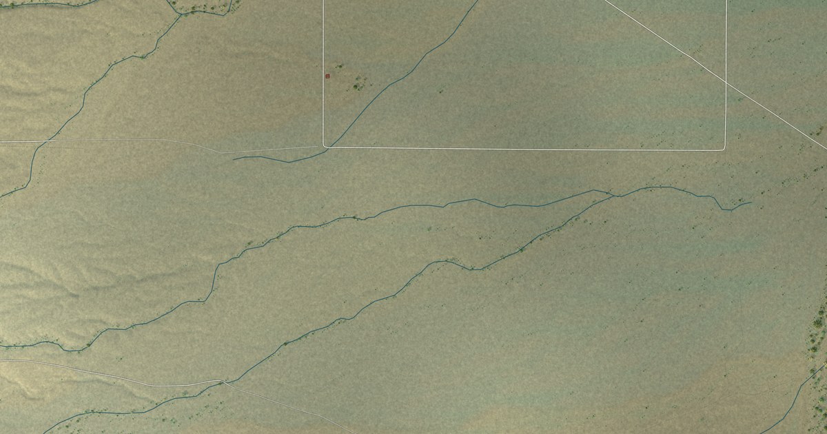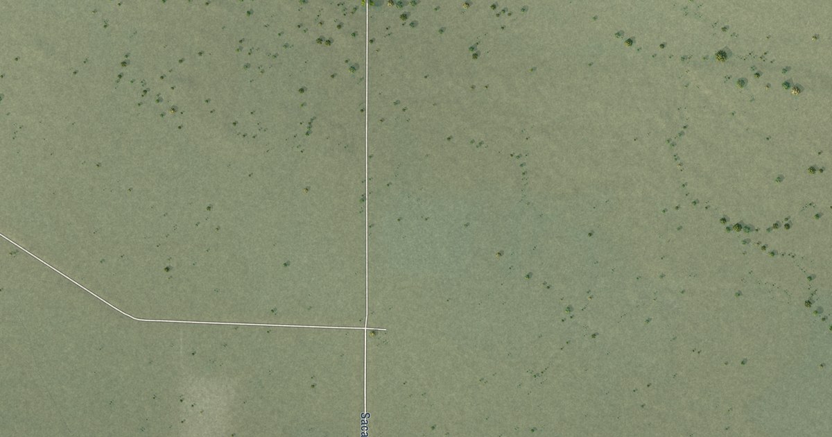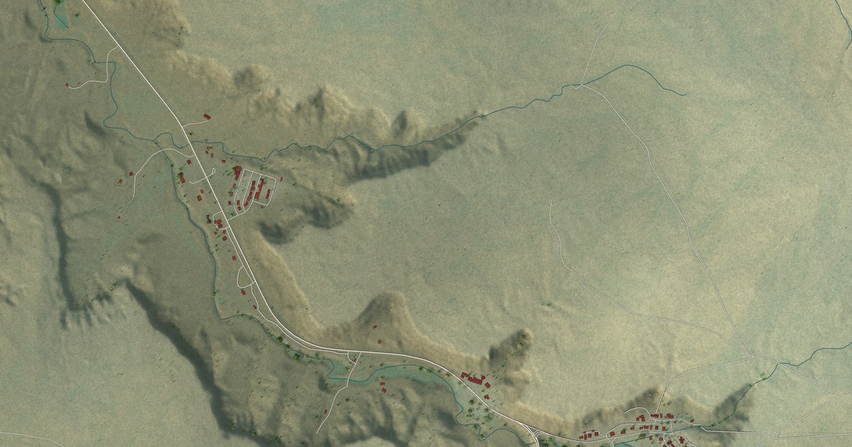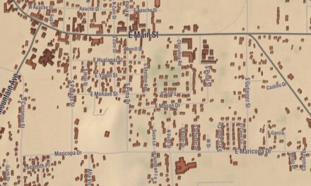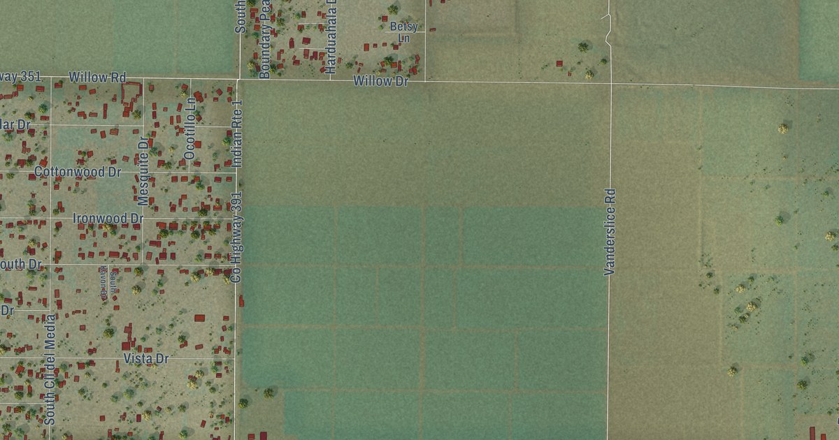
This beautifully detailed map of Mohave Valley, Arizona was created in 2026 using aerial imagery combined with modern topographical, census, street and landmark data. It’s a one-of-a-kind view of Mohave Valley that combines accurate data with a vintage aesthetic. The map shows every building in its true location, many of the roads carry their names, and the shaded topographic relief shows the shape of the land.
Explore an aerial view of Mohave Valley, Arizona
On the map you’ll find Topock-Davis Dam Road, Courtwright Road, Flamingo Road, Centavo Avenue, Vanderslide Drive, Peso Avenue, Vanderslice Road, Verde Avenue, Hulet Avenue, Indian Lane, Hulet Drive, Saguaro Drive, and more. Mohave Valley sits about 3 miles south of Mojave Ranch Estates, 3 miles north of Arizona Village and 4 miles southeast of Willow Valley. If you look closely you can even find your house accurately drawn in its correct location. Zoom in on the preview to look for yours.
Take a closer look at the Mohave Valley map
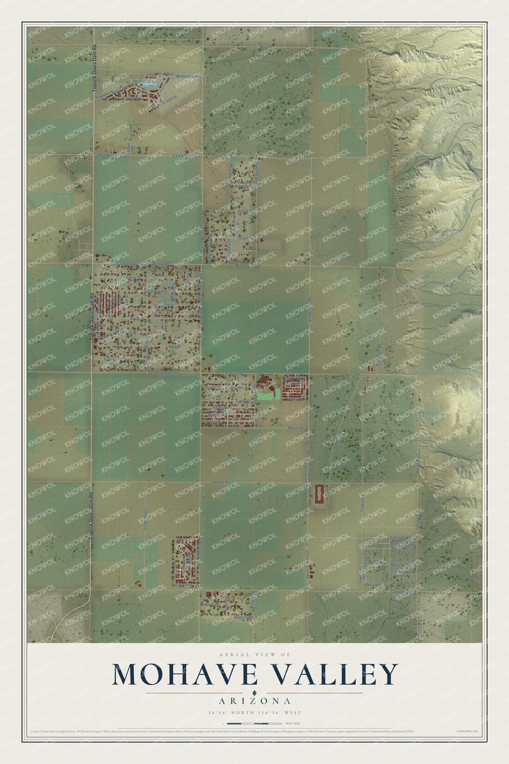
Names on this map
These names are printed on this map.
Streets and roads: Topock-Davis Dam Road, Courtwright Road, Flamingo Road, Centavo Avenue, Vanderslide Drive, Peso Avenue, Vanderslice Road, Verde Avenue, Hulet Avenue, Indian Lane, Hulet Drive, Saguaro Drive.
More street names, A to Z
Acacia Road, Aguila Drive, Aquarius Drive, Aquarius Road, Arditto Place, Arizona Drive, Ash Street, Betsy Lane, Boundary Peak Road, Brown Road, Cabot Drive, Cedar Street, Cimarron Boulevard, Cll del Media, Cottonwood Drive, County Highway 347, County Highway 351, County Highway 353, County Highway 391, Desert Bloom Drive, Desert Flora Drive, Desoto Drive, East Bluff Road, East Cimarron Boulevard, East Cupa de Oro Drive, East King Street, East Valley Drive, East Winterhaven Drive, Elm Street, Emily Drive, Hackamore Drive, Harduahala Drive, Harquahala Drive, Indian Route 1, Indian Route 4, Indian Route 5, Indian Route 6, Ironwood Drive, Juniper Street, Kent Road, Kingman Drive, Laguna Drive, Laguna Road, Lone Star Drive, Magellan Drive, Maverick Drive, Mesa de Oro Drive, Mesquite Drive, Mountain View Road, Mustang Drive, Oatman Place, Ocotillo Lane, Palo Verde Drive, Peacock Mountain Drive, Pecan Lane, Pescador Drive, Phoenix Drive, Poplar Drive, Prescador Drive, Prescott Drive, Regents Road, Rio de Oro, Rio de Oro Drive, Romance Lane, Sage Drive, Silver Mesa Drive, South Aquarius Drive, South Cll del Media, South Drive, South Kavon Drive, South Mountain View Road, Superstition Drive, Sycamore Street, Tropicana, Tropicana Avenue, Valley Parkway, Vanderslice Drive, Van Der Slice Road, Vista de la Mesa Drive, Vista del Rio Drive, Vista Drive, Warwick Road, Willow Drive, Willow Road, Winterhaven Drive, Winter Haven Drive.
See it on a wall
The Mohave Valley map as a framed print. Swipe for more.


This beautifully detailed map of Mohave Valley makes an attractive addition to your office, library, or den, and it can even be used to teach children the geography and history of the area. It also makes a great gift for anyone who grew up in Mohave Valley or moved away. When you’re done exploring, click here to get your copy of the Mohave Valley map.