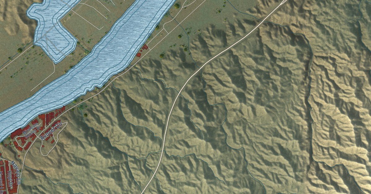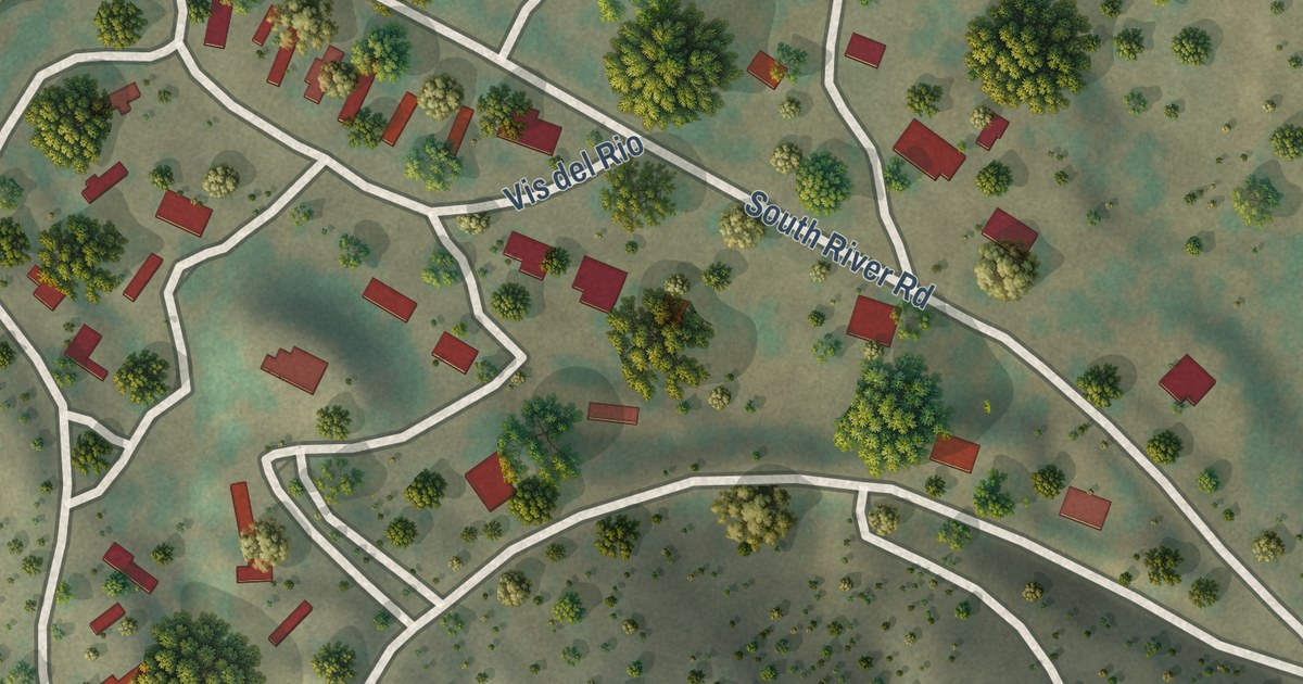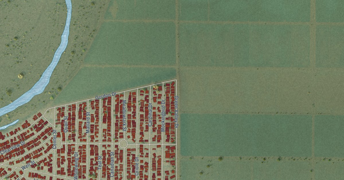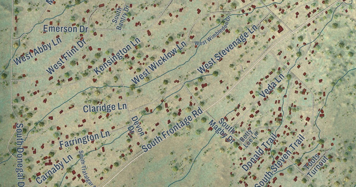
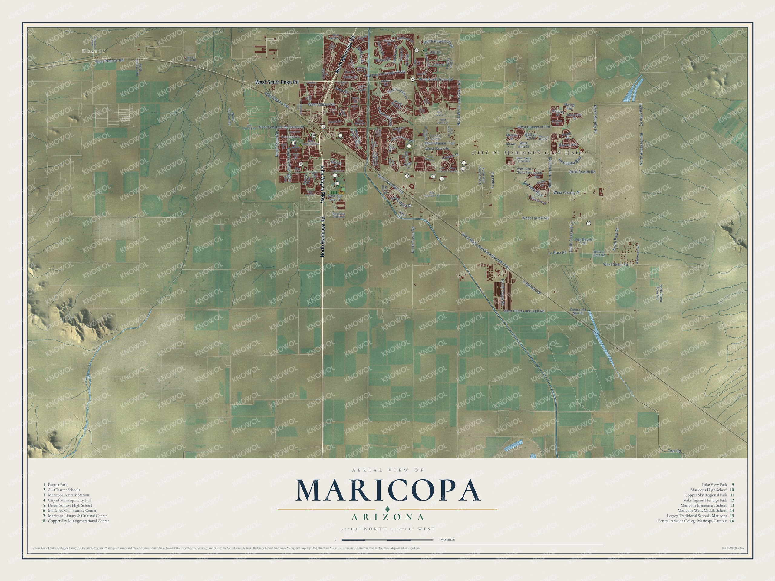
This beautifully detailed map of Maricopa, Arizona was created in 2026 using aerial imagery combined with modern topographical, census, street and landmark data. It’s a one-of-a-kind view of Maricopa that combines accurate data with a vintage aesthetic. The map shows every building in its true location, many of the roads carry their names, and the shaded topographic relief shows the shape of the land.
See the Maricopa, Arizona map on a wall
The Maricopa map as an 18 x 24 inch print in a black frame.

Explore an aerial view of Maricopa, Arizona
On the map you’ll find City of Maricopa City Hall and Heaton, along with North Maricopa Road, John Wayne Parkway, West Smith Enke Road, North Porter Road, Hogenes Boulevard, West Bowlin Road, West Blazen Trail, Snow Drive, West Farrell Road, West Peters and Nall Road, and more. If you look closely you can even find your house accurately drawn in its correct location. Zoom in on the preview to look for yours.
Did you know this piece of Maricopa, Arizona history?
The city began as Maricopa Wells, a desert oasis of watering holes about eight miles north of today’s city. It was a key relay stop on the Butterfield Overland Mail route. During the early 1880s the town was rebuilt as Maricopa Junction for a new railroad. The first train left for Phoenix on July 4, 1887.
Take a closer look at the Maricopa map
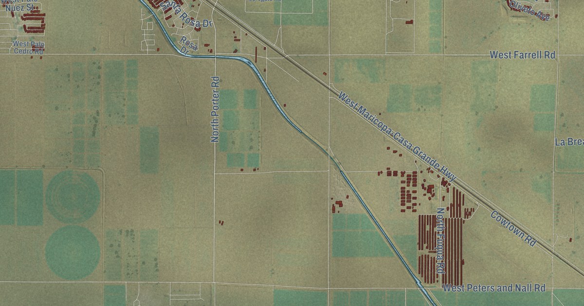
Click to explore a larger preview. The digital watermark does not appear on printed maps.
Street and place names on the Maricopa, Arizona map
These names are printed on the map of Maricopa, Arizona.
Places: City of Maricopa City Hall and Heaton.
Streets and roads: North Maricopa Road, John Wayne Parkway, West Smith Enke Road, North Porter Road, Hogenes Boulevard, West Bowlin Road, West Blazen Trail, Snow Drive, West Farrell Road, Indian Route 97, West Peters and Nall Road, West Garvey Avenue.
More street names, A to Z
Abbey Road, Allen Stephen Parkway, Alterra Parkway, Amalfi Avenue, Anderson Road, Anne Lane, Arbor Drive, Bailey Drive, Balboa Drive, Barbara Lane, Bradford Drive, Bravo Drive, Caven Drive, Celtic Avenue, Cheyenne Drive, Cielo Lane, Colby Drive, Cowtown Road, Cypress Lane, Delia Boulevard, Dirk Street, Dutchman Drive, El Creco Street, Elm Drive, Falcon Lane, Fuqua Road, Giallo Lane, Goles Drive, Hall Drive, High Desert Trail, Hillman Drive, Holly Drive, Jill Avenue, Jones Drive, Kirkland Drive, La Brea Road, Lauren Road, Lemon Drop Drive, Liles Lane, Lindgren Drive, Little Drive, Lococo Street, Madrid Avenue, Maricopa Groves Parkway, Maron Avenue, Mary Lou Drive, Merced Street, Mescal Street, Miller Way, Neely Drive, Nina Street, North Anderson Road, North Arbor Drive, North Freeland Lane, North Fuqua Road, North Green Road, North Hartman Road, North High Lonesome Drive, North Jericho Road, North Murphy Road, North Pala Road, North Powers Parkway, North Rachael Road, North Ralston Road, North Roosevelt Avenue, North Rosa Drive, North Santa Rosa Avenue, North Santa Rosa Parkway, North Toya Street, North Warren Road, North Whisker Road, North White and Parker Road, North White Road, Oliveto Avenue, Paraiso Lane, Peters and Nall Road, Picasso Street, Powers Parkway, Prado Street, Province Parkway, Rancho el Dorado Parkway, Reis Drive, Rio Drive, Rosa Drive, Roth Road, Sage Brush Drive, Santa Rosa Drive, Santa Rosa Parkway, Sky Lane, Sorrento Boulevard, Sunland Drive, Sunset Drive, Teel Road, Terragona Boulevard, Van Loo Drive, Vargas Drive, Velazours Drive, Venture Road, West Adobe Circle, West Applegate Road, West Charity Place, West Cowtown Road, West Edison Road, West Edwards McDavid Road, West Friendly Place, West Helen Court, West Honeycutt Avenue, West Honeycutt Road, West James Lane, West Jenna Lane, West La Brea Road, West La Paz Drive, West La Paz Street, West Lucera Lane, West Maricopa-Casa Grande Highway, West McDavid Road, West Neely Drive, West Nina Street, West Palo Cedro Road, West Palo Nuez Street, West Prancer Road, West Rio Bravo Drive, West San Sisto Avenue, West Santa Clara Avenue, West Santi Road, West Seven Ranch Road, West Steen Road, Windmill Drive, Zion Road.
This beautifully detailed map of Maricopa makes an attractive addition to your office, library, or den, and it can even be used to teach children the geography and history of the area. It also makes a great gift for someone who left Maricopa and still calls it home. When you’re done exploring, click here to get your copy of the Maricopa map.