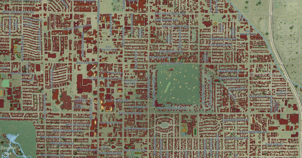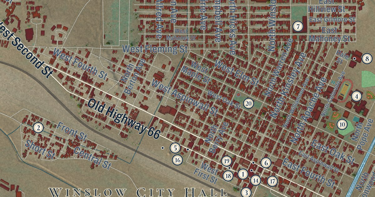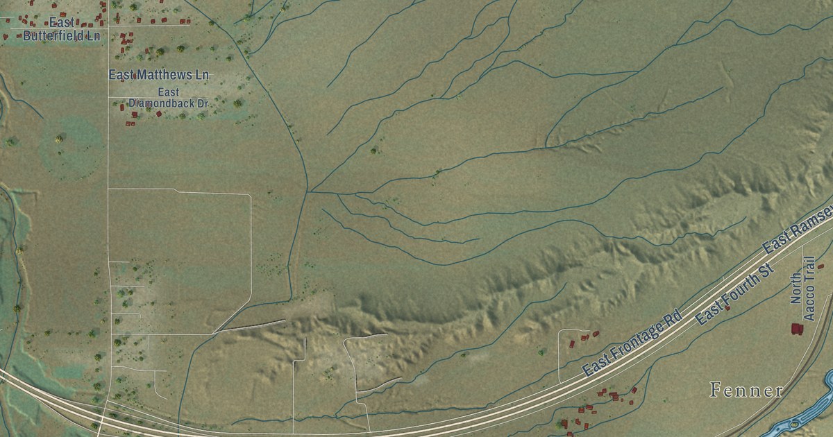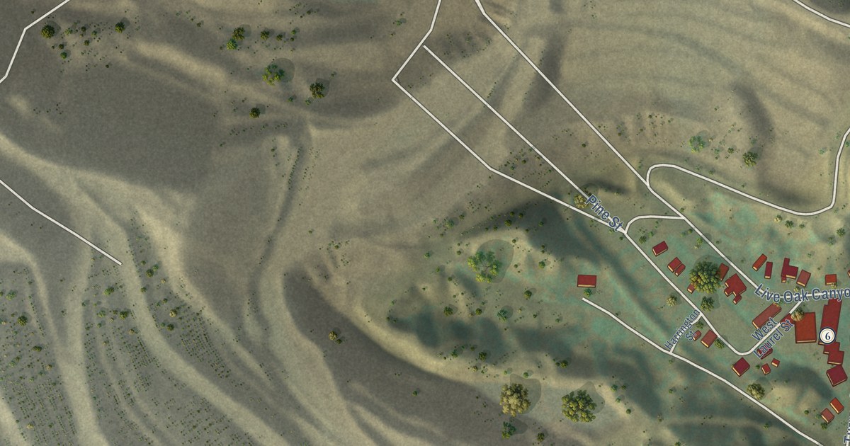
This beautifully detailed map of Miami, Arizona was created in 2026 using aerial imagery combined with modern topographical, census, street and landmark data. It’s a one-of-a-kind view of Miami that combines accurate data with a vintage aesthetic. The map shows every building in its true location, many of the roads carry their names, and the shaded topographic relief shows the shape of the land.
See the Miami, Arizona map on a wall
The Miami map as an 18 x 24 inch print in a black frame.

Explore an aerial view of Miami, Arizona
On the map you’ll find Miami Town Hall, along with Live Oak Street, West Live Oak Street, Cactus Alley, West Merritt Street, West Olive Street, Prospect Avenue, Miami Avenue, Kenney Drive, Adonis Avenue, Sunnyslope Street, Latham Boulevard, and more. If you look closely you can even find your house accurately drawn in its correct location. Zoom in on the preview to look for yours.
Take a closer look at the Miami map
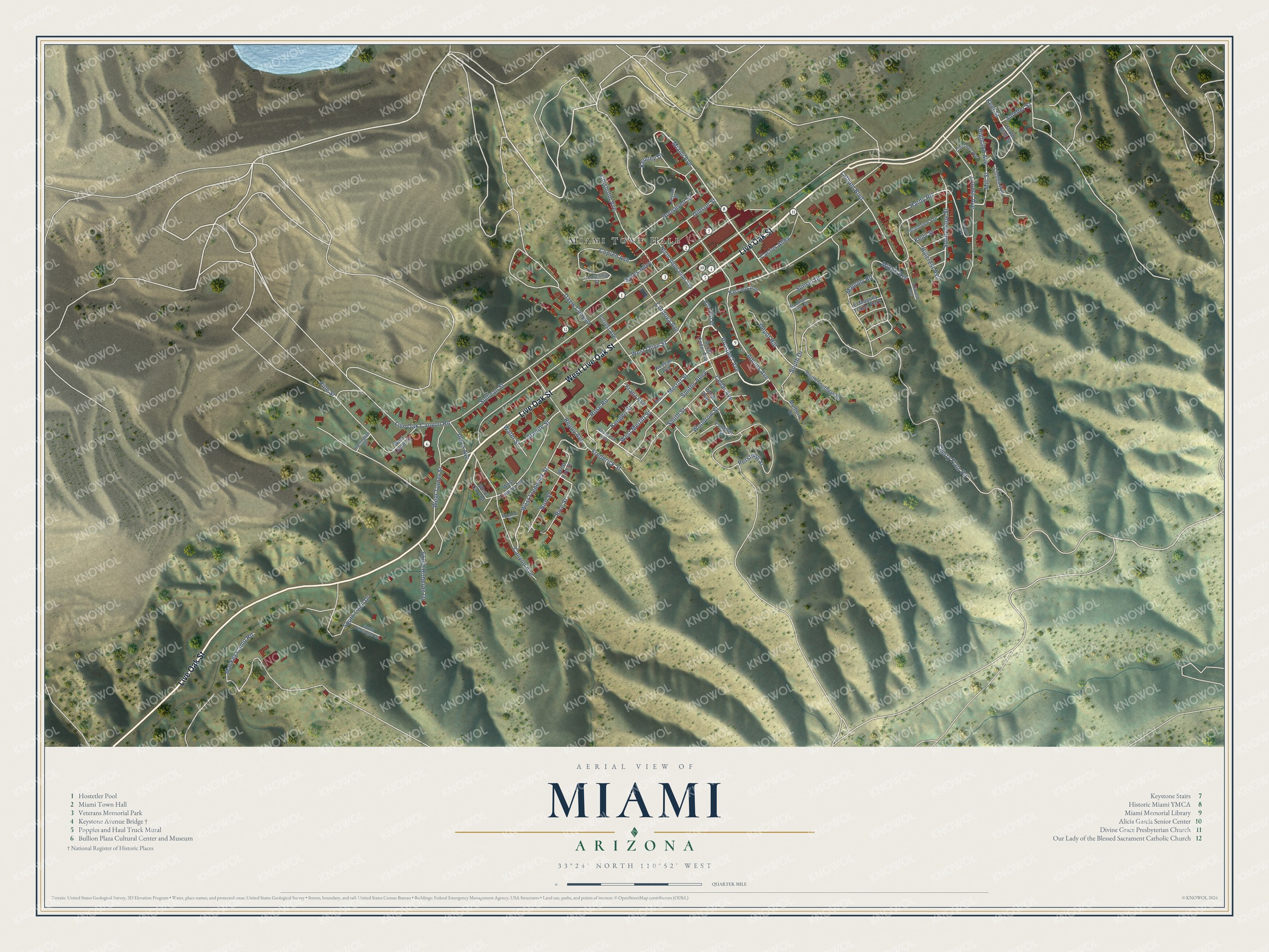
Click to explore a larger preview. The digital watermark does not appear on printed maps.
Street and place names on the Miami, Arizona map
These names are printed on the map of Miami, Arizona.
Places: Miami Town Hall and El Maquey Trailer Park.
Streets and roads: Live Oak Street, West Live Oak Street, Cactus Alley, West Merritt Street, West Olive Street, Prospect Avenue, Miami Avenue, Kenney Drive, Adonis Avenue, Sunnyslope Street, Latham Boulevard, Mill Street.
More street names, A to Z
Altarest Avenue, Apache Street, Bacchus Avenue, Bird Street, Canyon Avenue, Cedar Avenue, Cherry Flats Road, Chisholm Avenue, Churchhill Street, Coplen Avenue, Corcoran Avenue, Cordova Avenue, Davis Canyon, Depot Hill, Forrest Avenue, Franz Avenue, Frederick Street, Funston Street, Gibson Street, Grandview Avenue, Granite Street, Gregory Avenue, Hardy Road, Harrington Street, Highland Avenue, Hillcrest Avenue, Hillcrest Place, Keegan Avenue, Keegen Street, Kelly Street, Kent Street, Linden Avenue, Live Oak Canyon Road, Loomis Avenue, Mackey Camp Road, Maquey Road, Merrit Street, Merritt Street, Milton Avenue, Mountain View Street, Mulberry Drive, North Inspiration Avenue, Pershing Street, Pinal Avenue, Pine Street, Plaza Avenue, Reppy Avenue, Rice Street, Roosevelt Street, Rose Road, Skyline Drive, Smelter Street, Smiths Alley, Smith Street, South Cecil Drive, South Cedar Avenue, South Drive, South Kent Street, South Persinger Drive, South Roberds Drive, South Southern Drive, Sullivan Street, Sunset Drive, Sykes Alley, Water Street, Wentworth Avenue, West Bird Street, West Canyon, West Canyon Avenue, West Frederick Street, West Laurel Street, West Turner Street, Woodrow Street.
This beautifully detailed map of Miami makes an attractive addition to your office, library, or den, and it can even be used to teach children the geography and history of the area. It also makes a great gift for someone who left Miami and still calls it home. When you’re done exploring, click here to get your copy of the Miami map.