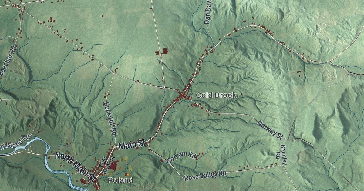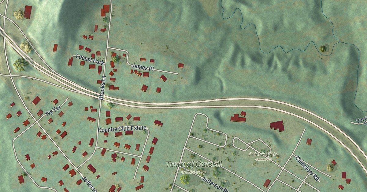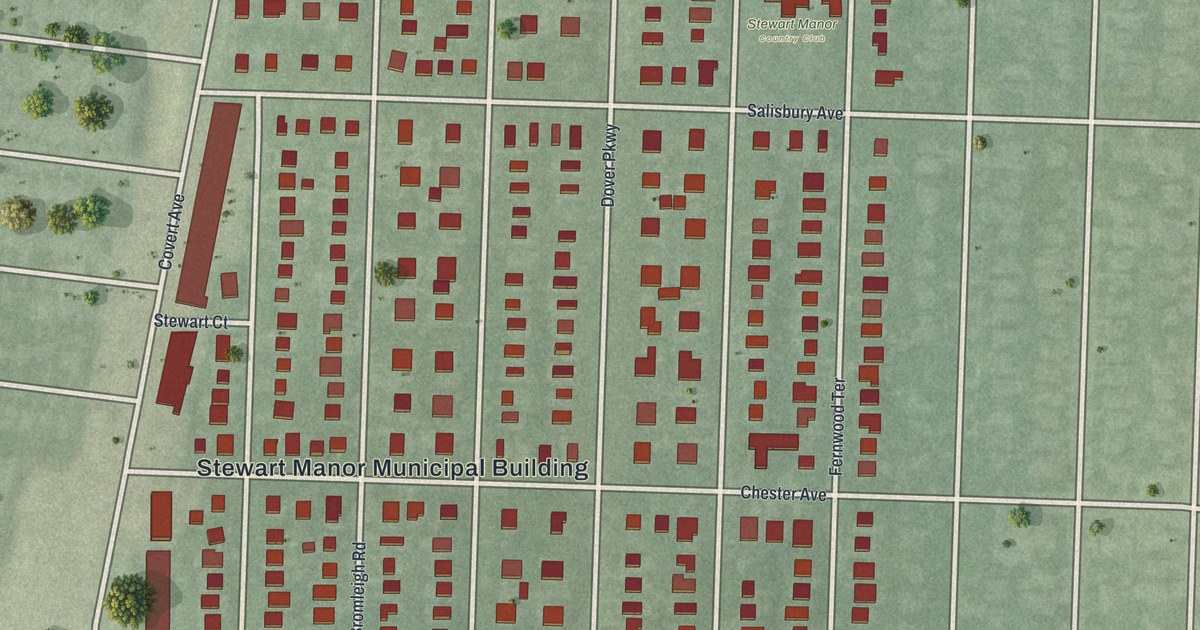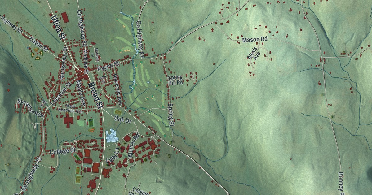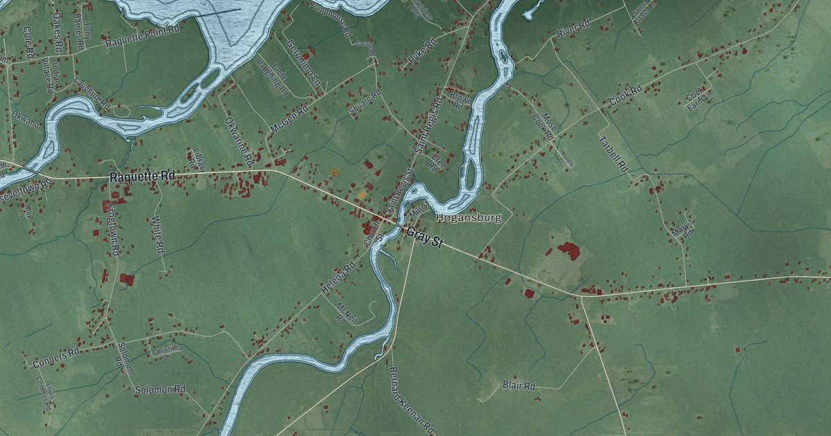
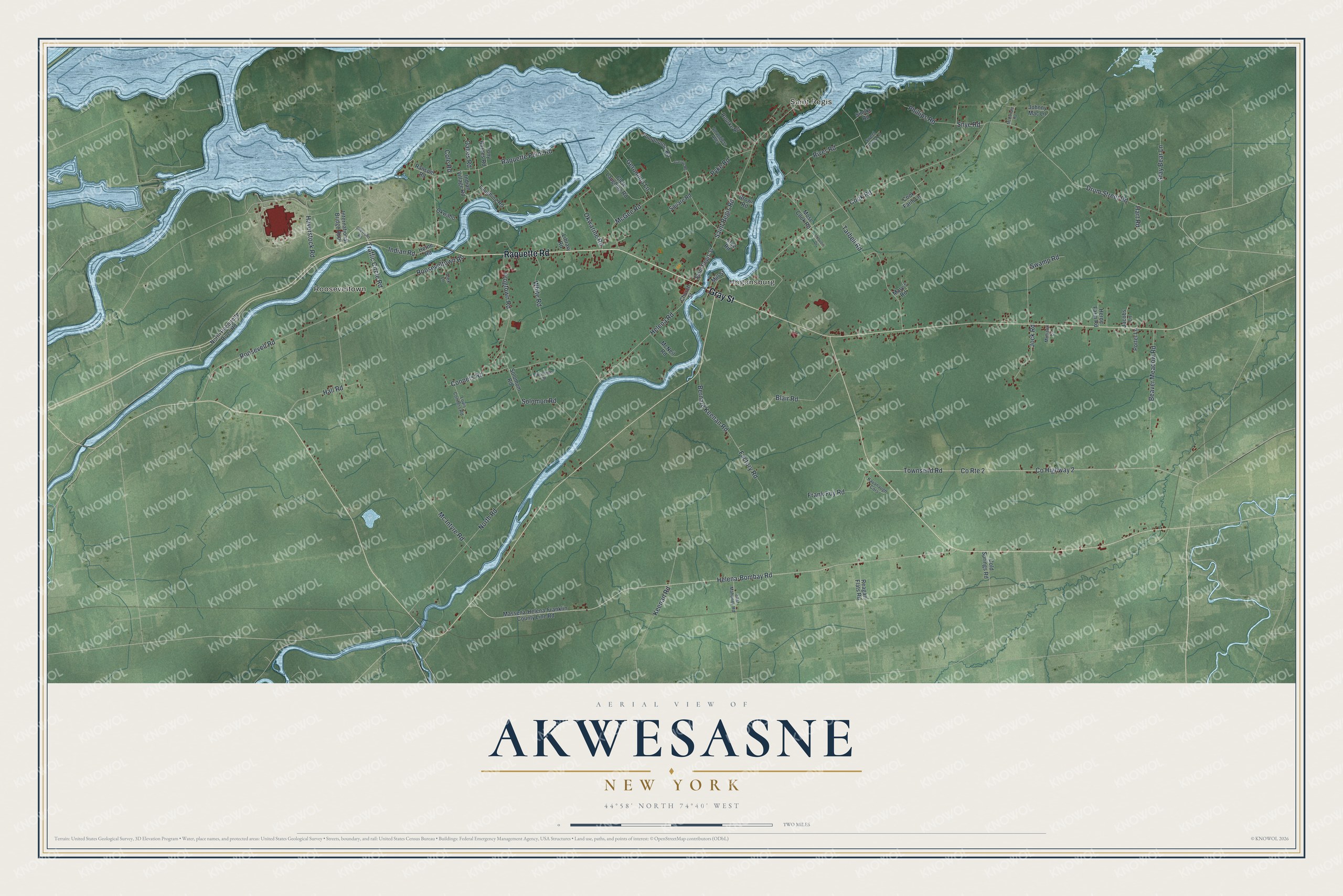
This beautifully detailed map of Akwesasne, New York was created in 2026 using aerial imagery combined with modern topographical, census, street and landmark data. It’s a one-of-a-kind view of Akwesasne that combines accurate data with a vintage aesthetic. The map shows every building in its true location, many of the roads carry their names, and the shaded topographic relief shows the shape of the land.
Explore an aerial view of Akwesasne, New York
On the map you’ll find Rooseveltown, Saint Regis, and Hogansburg, along with Raquette Road, Gray Street, Traffic Circle Road, Drum Street Road, Pyke Road, and more. If you look closely you can even find your house accurately drawn in its correct location. Zoom in on the preview to look for yours.
Did You Know?
Akwesasne is a Mohawk community whose name means Land Where the Partridge Drums. The name points to the plentiful wildlife here. When the United States and Canada settled their border in the early 1800s, the territory was split. The New York side became the St. Regis Mohawk Reservation.
Take a closer look at the Akwesasne map
Names on this map
These names are printed on this map.
Places: Rooseveltown, Saint Regis and Hogansburg.
Streets and roads: Raquette Road, Gray Street, Traffic Circle Road, Drum Street Road, Pyke Road, River Road, Helena-Bombay Road, Helena Road, Snye Road, Cook Road, County Highway 2, County Route 2.
More street names, A to Z
Alex Lane, Beaver Meadow Road, Bernard Keenan Road, Blair Road, Brown Road, Chevrolet Road, Christine Drive, Church Street, Clete Laughing Road, Cold Springs Road, Cole Road, Conners Road, Cook Farm Lane, Cree Road, East Mahoney Road, Factory Road, Frank Foy Road, Frogtown Road, Garrow Road, Geronimo Lane, Gray Bear Lane, Hall Road, Hart Road, Haverstock Road, Herne Farm Road, Herne Road, Indian Road, Indian Village Road, International Bridge Appr, Iroquois Drive, Jacobs Lane, Jock Road, Johnny Mac Lane, Kavanaugh Cors, Keenan Road, Laughing Road, Library Road, Louis Conners Road, Mary's Road, Massena-Helena-Franklin County Line Road, McDonald Road, McGee Road, Mc Intyre Road, McNeil Road, Mill Street, Mohawk Lane, Mose Cook Road, North Racquette River Road, North Road, Oakes Road, Okwaho, Okwarine Road, Phillips Road, Porter Lane, Pumphouse Road, Ransom Road, Raquette Point Road, Reagan Flats Road, Rooseveltown Road, Roosevelt Road, Rourke Road, Saint Regis Road, Saint Regis Street, Smoke Road, Smugglers Alley, Solomom Road, Solomon Road, Square Road, Swamp Road, Sweet Grass Lane, Tarbell Road, Tony Barnes Road, Townsend Road, White Road.
See it on a wall
The Akwesasne map as a framed print. Swipe for more.


This beautifully detailed map of Akwesasne makes an attractive addition to your office, library, or den, and it can even be used to teach children the geography and history of the area. It also makes a great gift for someone who left Akwesasne and still calls it home. When you’re done exploring, click here to get your copy of the Akwesasne map.