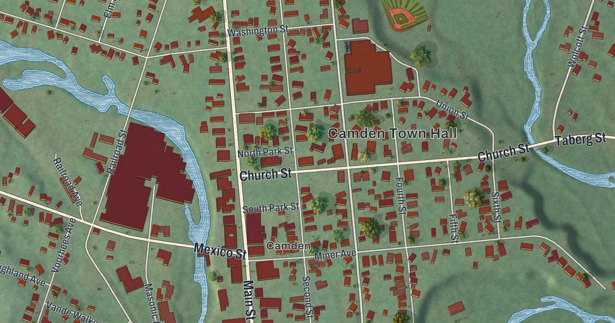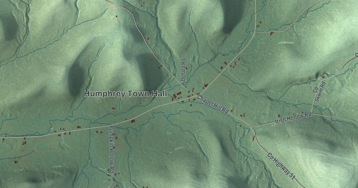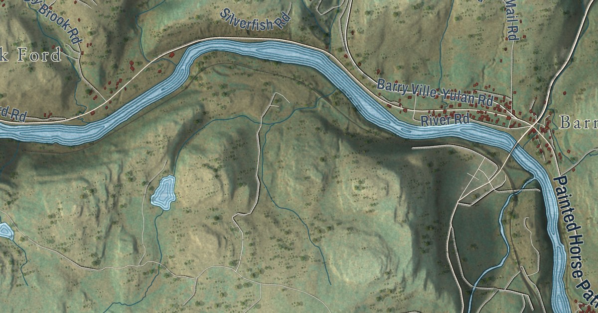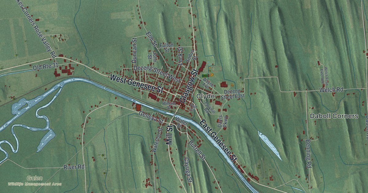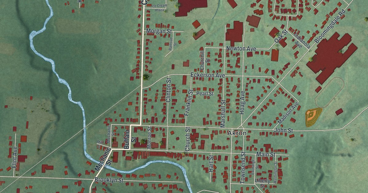
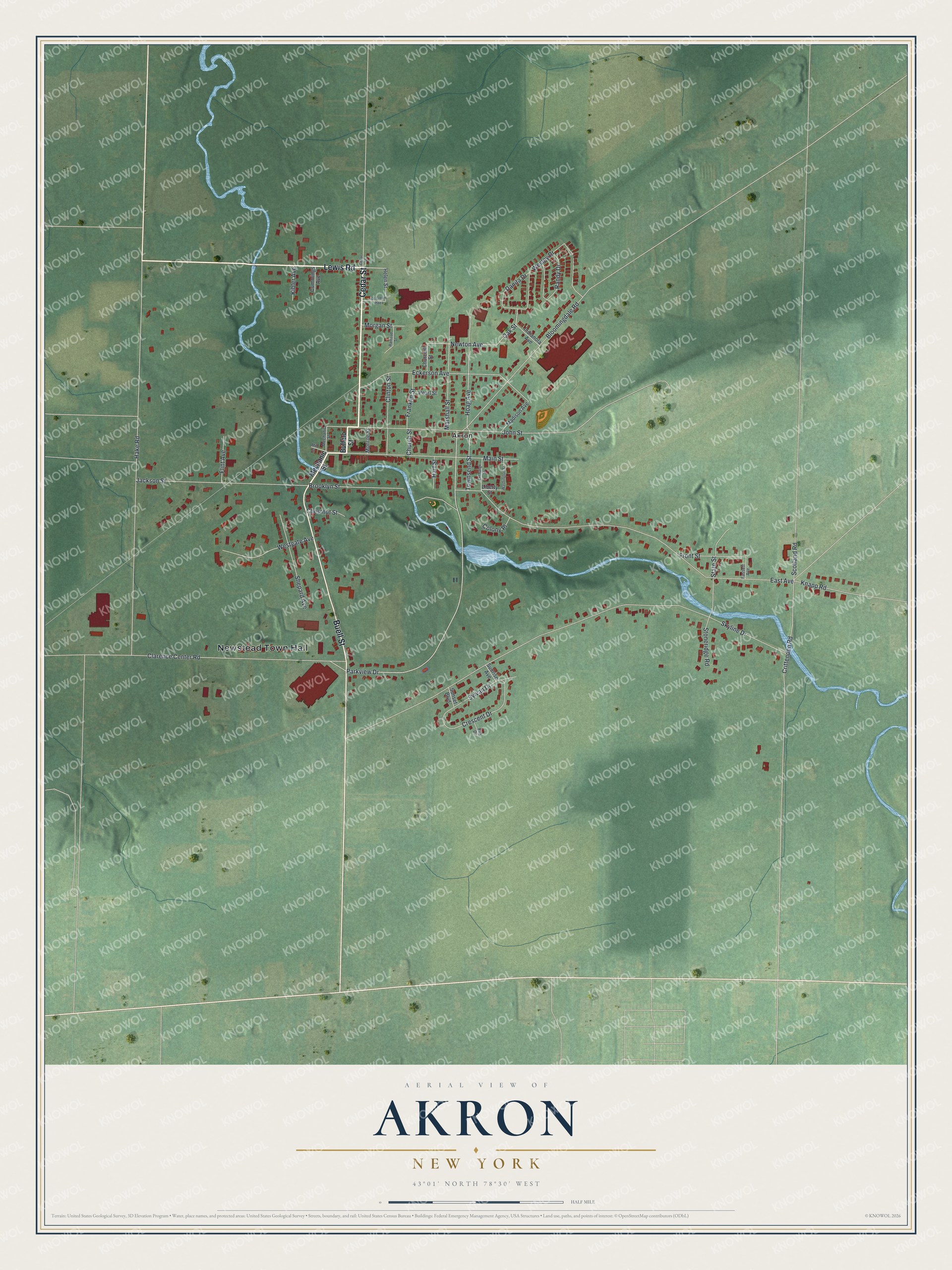
This beautifully detailed map of Akron, New York was created in 2026 using aerial imagery combined with modern topographical, census, street and landmark data. It’s a one-of-a-kind view of Akron that combines accurate data with a vintage aesthetic. The map shows every building in its true location, many of the roads carry their names, and the shaded topographic relief shows the shape of the land.
Explore an aerial view of Akron, New York
On the map you’ll find Newstead Town Hall, along with Cedar Street, Lewis Road, Buell Street, Buffalo Street, and more. If you look closely you can even find your house accurately drawn in its correct location. Zoom in on the preview to look for yours.
Did You Know?
Akron took its name from a Greek word meaning a summit or high point. Settlers arrived around 1829 and built beside Akron Falls, which gave them water power. By 1880 the village was an important cement maker, thanks to local gypsum deposits.
Take a closer look at the Akron map
Names on this map
These names are printed on this map.
Places: Newstead Town Hall and Akron.
Streets and roads: Cedar Street, Lewis Road, Buell Street, Oak Street, Newton Avenue, Clarence Center Road, Crittenden Road, Hoag Avenue, Skyline Drive, East Avenue, Hake Road, Parkview Drive.
More street names, A to Z
Bloomingdale Road, Brooklyn Street, Buffalo Street, Chestnut Street, Churchill Street, Church Street, Clinton Street, Colony Place, Crescent Drive, Cummings Avenue, Danita Drive, Eckerson Avenue, Ella Drive, Exchange Street, Fassett Avenue, Flint Avenue, Franklin Street, Front Street, Hart Street, Helen Street, Ice Cream Plaza, Indianola Avenue, Jackson Street, John Street, Kibler Avenue, Knapp Road, Liberty Street, Madison Avenue, Main Street, Marshall Street, Mechanic Street, Mill Street, Monroe Street, Morgan Street, Pearl Street, Railroad Street, Randy Drive, Scotland Road, Shepard Avenue, State Street, Stoneridge Road, Sunrise Avenue, Sunset Boulevard, Sylvan Drive, Townsend Street, Washington Street, Wesley Drive, Westgate Avenue.
See it on a wall
The Akron map as a framed print. Swipe for more.


This beautifully detailed map of Akron makes an attractive addition to your office, library, or den, and it can even be used to teach children the geography and history of the area. It also makes a great gift for anyone with Akron roots. When you’re done exploring, click here to get your copy of the Akron map.