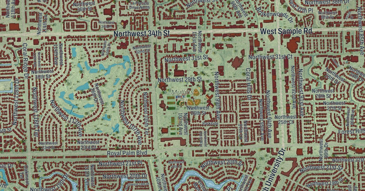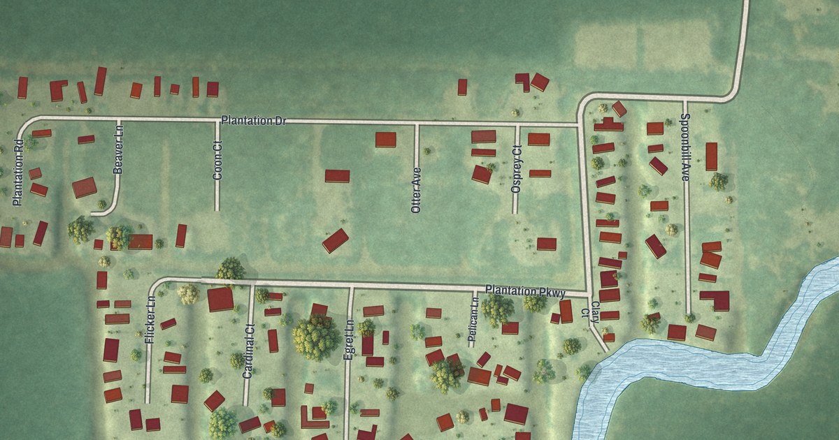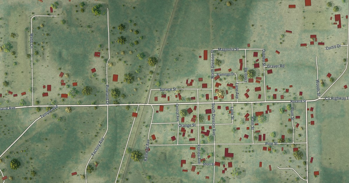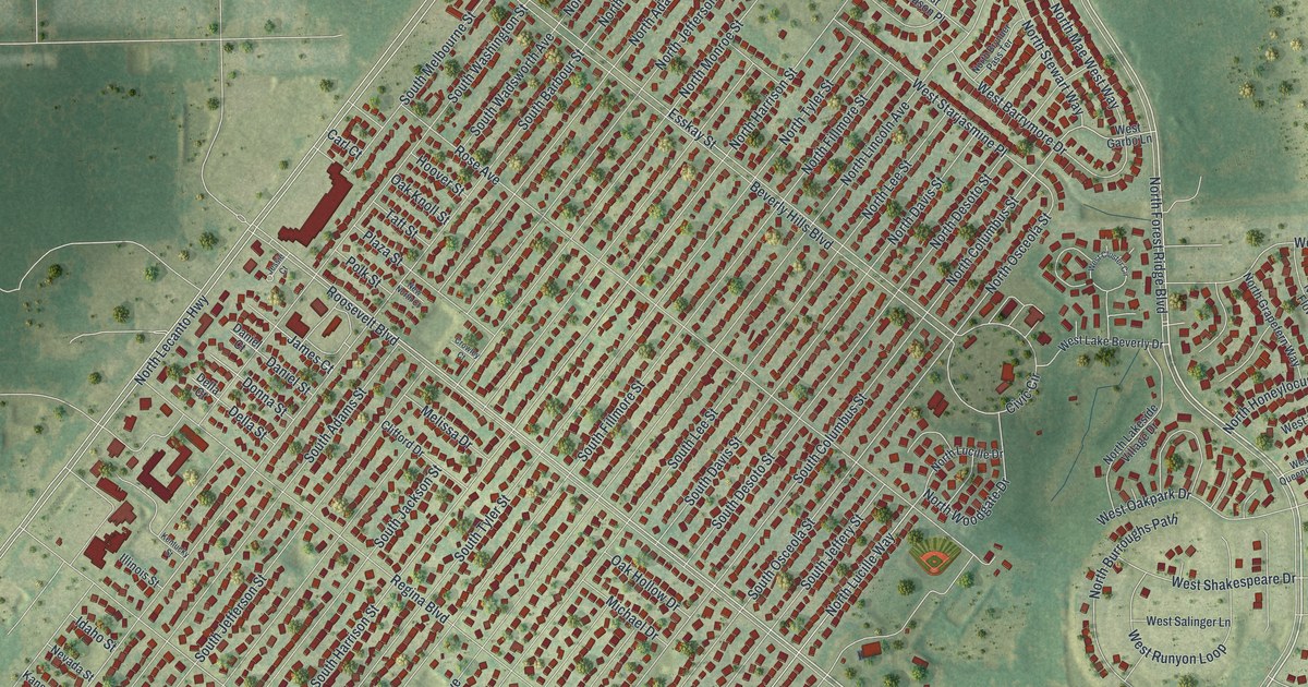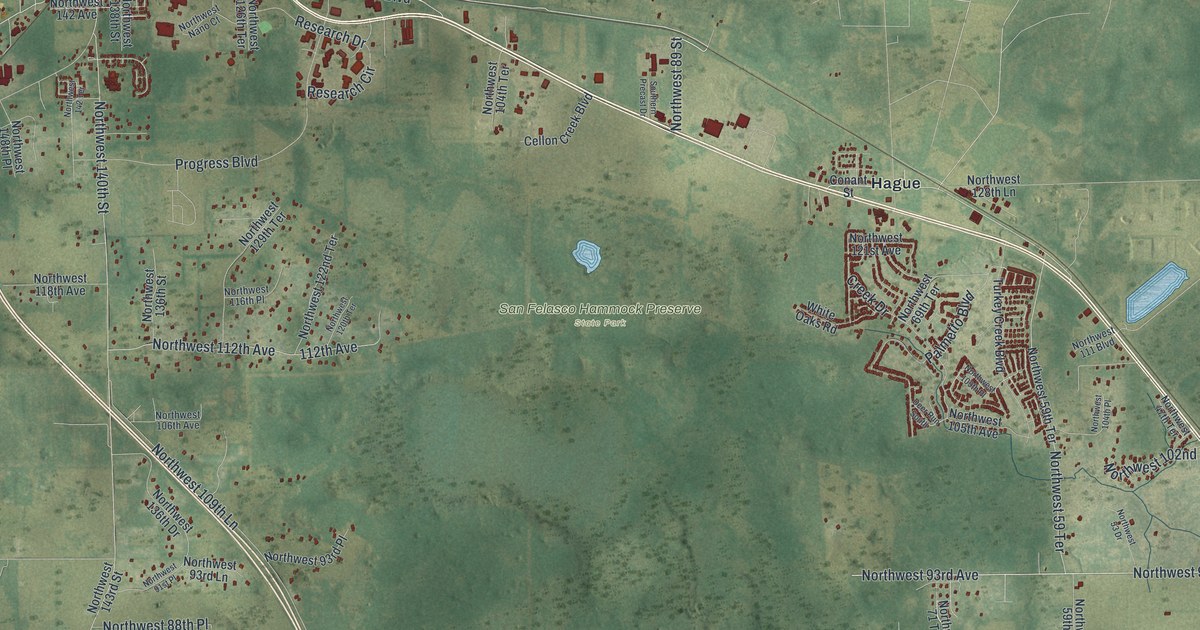
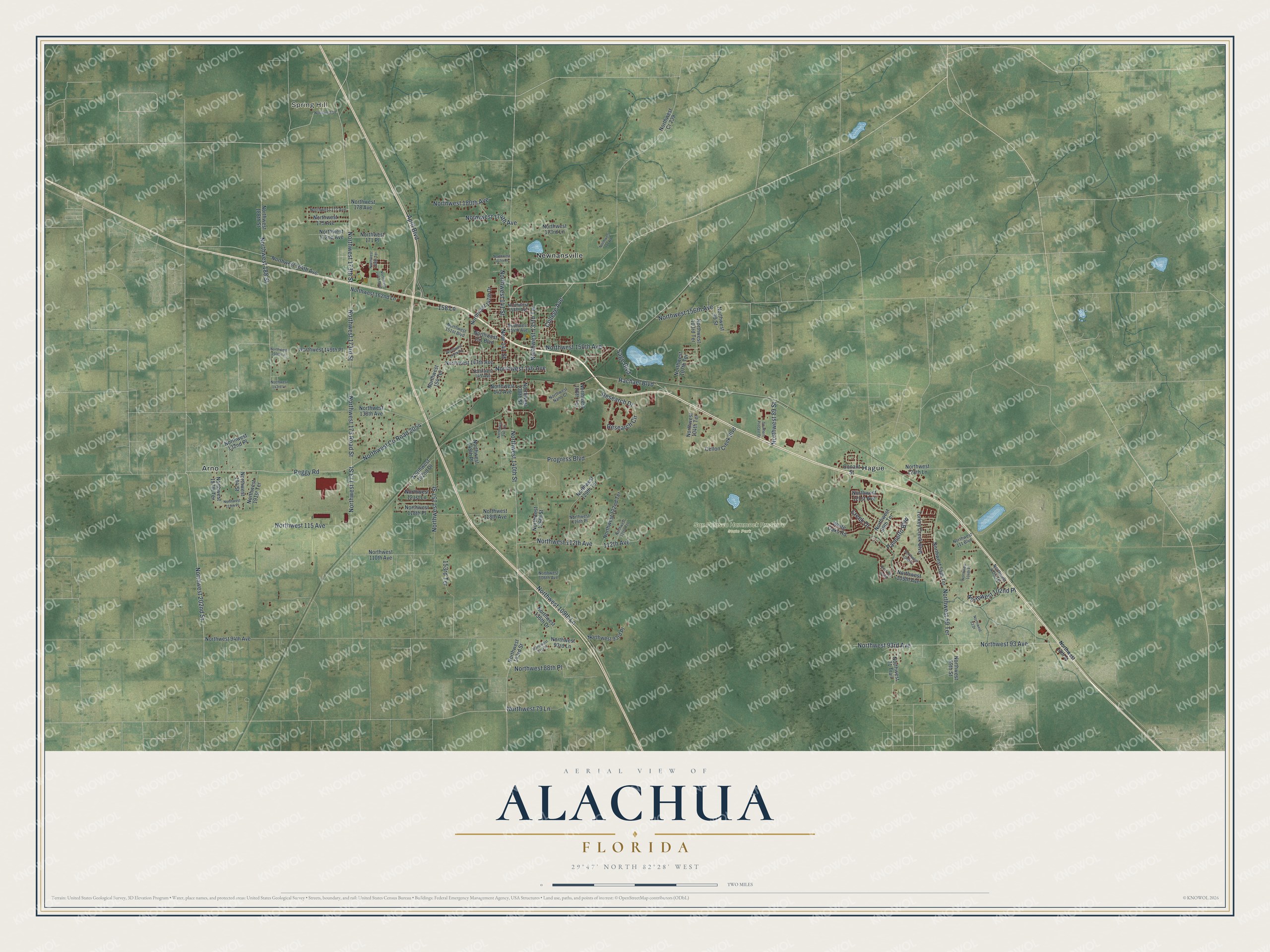
This beautifully detailed map of Alachua, Florida was created in 2026 using aerial imagery combined with modern topographical, census, street and landmark data. It’s a one-of-a-kind view of Alachua that combines accurate data with a vintage aesthetic. The map shows every building in its true location, many of the roads carry their names, and the shaded topographic relief shows the shape of the land.
Explore an aerial view of Alachua, Florida
On the map you’ll find Spring Hill, Burnetts Lake, San Felasco Hammock Preserve State Park, Arno, Hague, and Newnansville, along with Northwest 93rd Avenue, Sage Boulevard, Northwest 202nd Street, Northwest 89 Street, Northwest 146 Avenue, Northwest 173 Road Street, and more. If you look closely you can even find your house accurately drawn in its correct location. Zoom in on the preview to look for yours.
Did You Know?
Newnansville, first called Dell’s Courthouse, was among Florida’s oldest American settlements. In the early 1880s, a new railroad missed it by about a mile and a half. Residents moved beside the tracks, and Newnansville became a ghost town. Their new community, Alachua, was founded in 1884.
Take a closer look at the Alachua map
Names on this map
These names are printed on this map.
Places: Spring Hill, San Felasco Hammock Preserve State Park, Arno, Hague and Newnansville.
Streets and roads: Northwest 93rd Avenue, Sage Boulevard, Northwest 202nd Street, Northwest 89 Street, Northwest 146 Avenue, Northwest 173 Road Street, Northwest 173th Street, Northwest 93 Avenue, Peggy Road, Northwest County Road 2054, Northwest 140th Street, Northwest 173 Street.
More street names, A to Z
112th Avenue, 153rd Terrace, 158 Lane, April Boulevard, Cellon Creek Boulevard, College Avenue, Conant Street, Creek Drive, Deer Run South, Nnw 141 Street, Northwest 13th Street, Northwest 18, Northwest 47th Terrace, Northwest 53 Drive, Northwest 59 Terrace, Northwest 59th Street, Northwest 59th Terrace, Northwest 69th Terrace, Northwest 71 Trail, Northwest 79 Lane, Northwest 88th Place, Northwest 91st Place, Northwest 93rd Lane, Northwest 93rd Place, Northwest 94th Avenue, Northwest 99 Street, Northwest 102nd Place, Northwest 103rd Terrace, Northwest 104th Place, Northwest 104th Terrace, Northwest 105th Avenue, Northwest 106th Avenue, Northwest 107th Terrace, Northwest 109th Lane, Northwest 109th Place, Northwest 110th Avenue, Northwest 111 Boulevard, Northwest 112th Avenue, Northwest 115 Avenue, Northwest 116th Place, Northwest 118th Avenue, Northwest 118th Place, Northwest 119th Place, Northwest 120th Terrace, Northwest 121st Avenue, Northwest 121st Lane, Northwest 122nd Terrace, Northwest 126th Terrace, Northwest 128th Lane, Northwest 129th Terrace, Northwest 132nd Place, Northwest 135th Terrace, Northwest 136th Drive, Northwest 136th Street, Northwest 138th Avenue, Northwest 138th Street, Northwest 141 Street, Northwest 142 Avenue, Northwest 142 Terrace, Northwest 143rd Lane, Northwest 143rd Street, Northwest 145 Avenue, Northwest 147th Avenue, Northwest 147th Drive, Northwest 148th Place, Northwest 149th Place, Northwest 149th Road, Northwest 150th Avenue, Northwest 150th Lane, Northwest 151 Boulevard, Northwest 151st Boulevard, Northwest 154 Terrace, Northwest 154th Avenue, Northwest 156th Avenue, Northwest 157 Street, Northwest 158th Avenue, Northwest 162nd Drive, Northwest 162nd Lane, Northwest 164th Avenue, Northwest 167th Boulevard, Northwest 167th Place, Northwest 168th Terrace, Northwest 171 Place, Northwest 171 Road, Northwest 172nd Avenue, Northwest 173rd Lane, Northwest 173rd Street, Northwest 174th Avenue, Northwest 175 Avenue, Northwest 177 Avenue, Northwest 178 Avenue, Northwest 180th Avenue, Northwest 188 Street, Northwest 188th Street, Northwest 191st Terrace, Northwest 194 Street, Northwest 197th Terrace, Northwest Cr 239, Northwest Nano Court, Palmetto Boulevard, Progress Boulevard, Rachael Boulevard, Research Circle, Research Drive, Southern Precast Drive, Turkey Creek Boulevard, White Oaks Road.
See it on a wall
The Alachua map as a framed print. Swipe for more.


This beautifully detailed map of Alachua makes an attractive addition to your office, library, or den, and it can even be used to teach children the geography and history of the area. It also makes a great gift for anyone who grew up in Alachua or moved away. When you’re done exploring, click here to get your copy of the Alachua map.