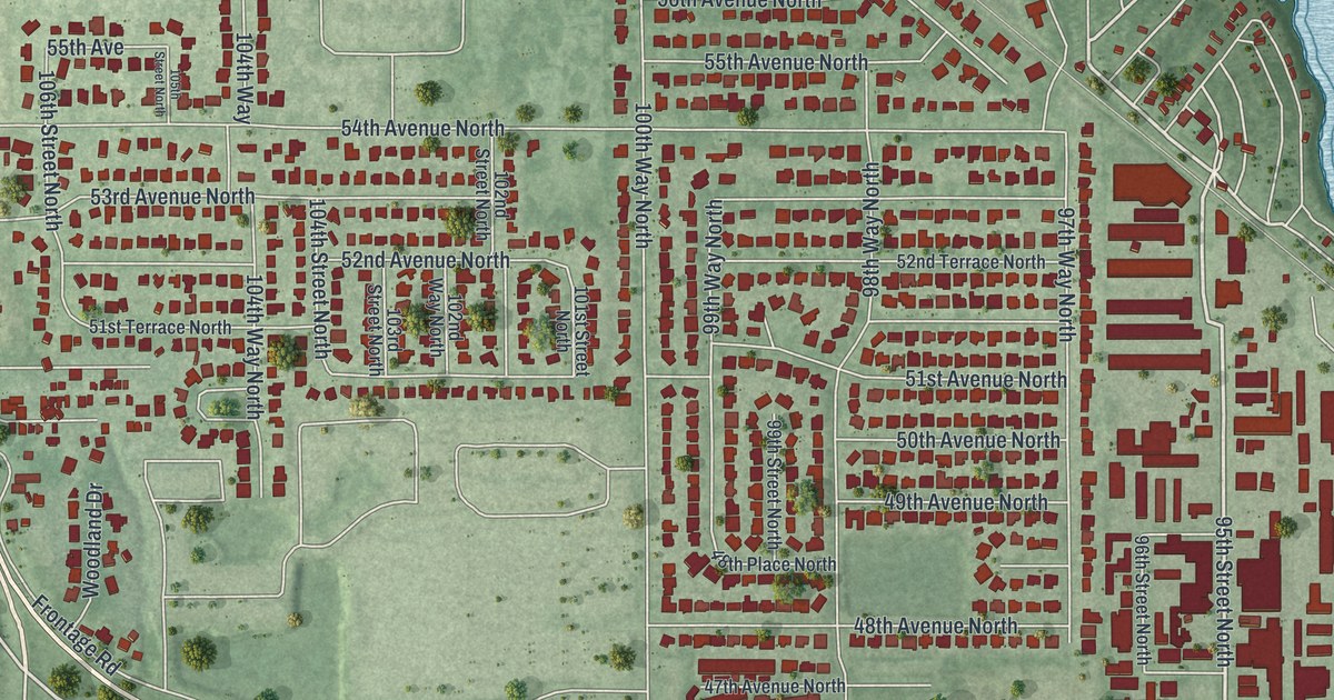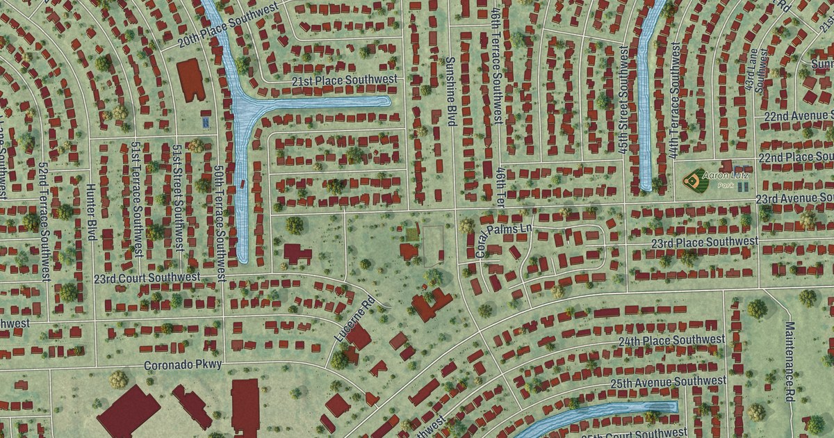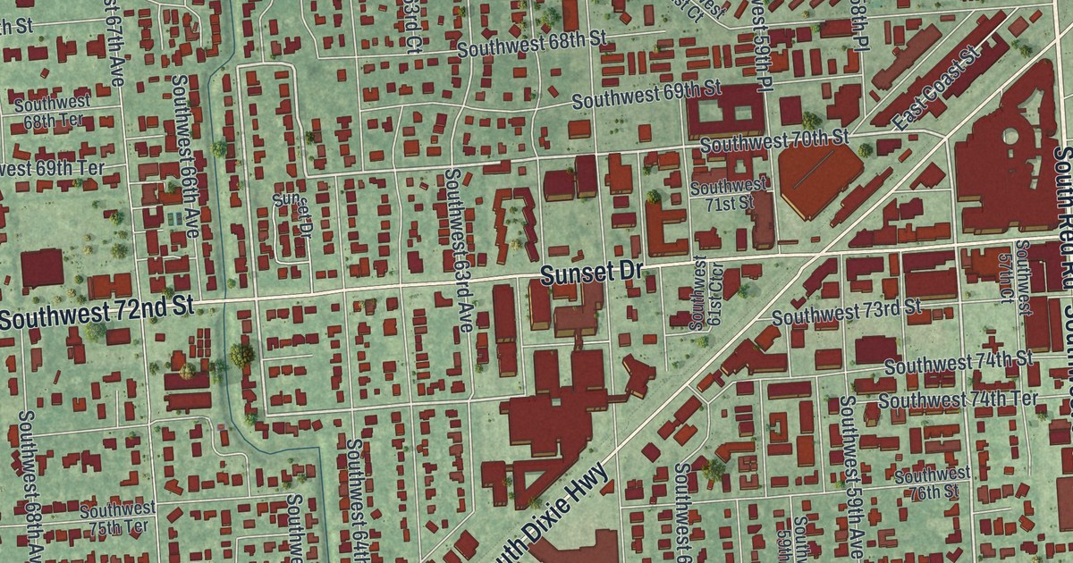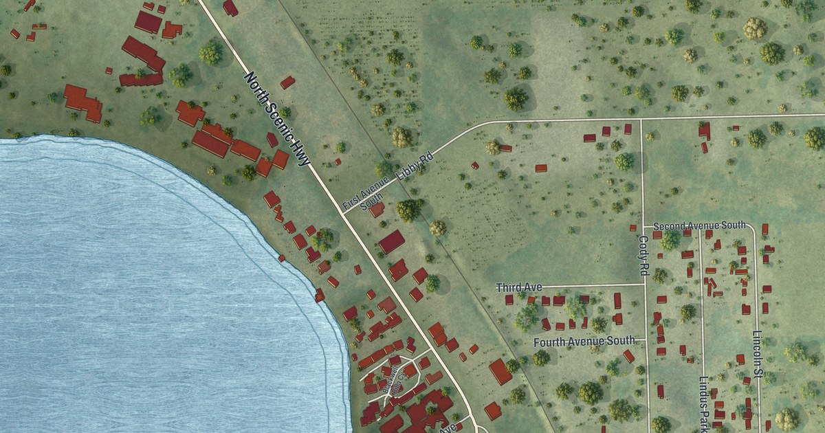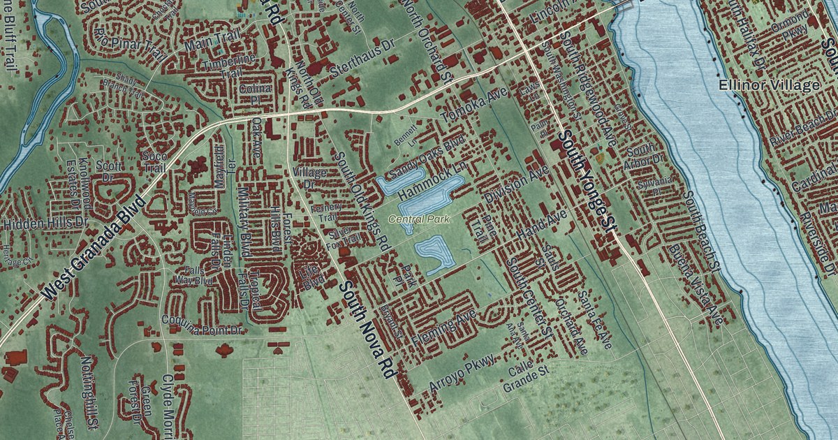
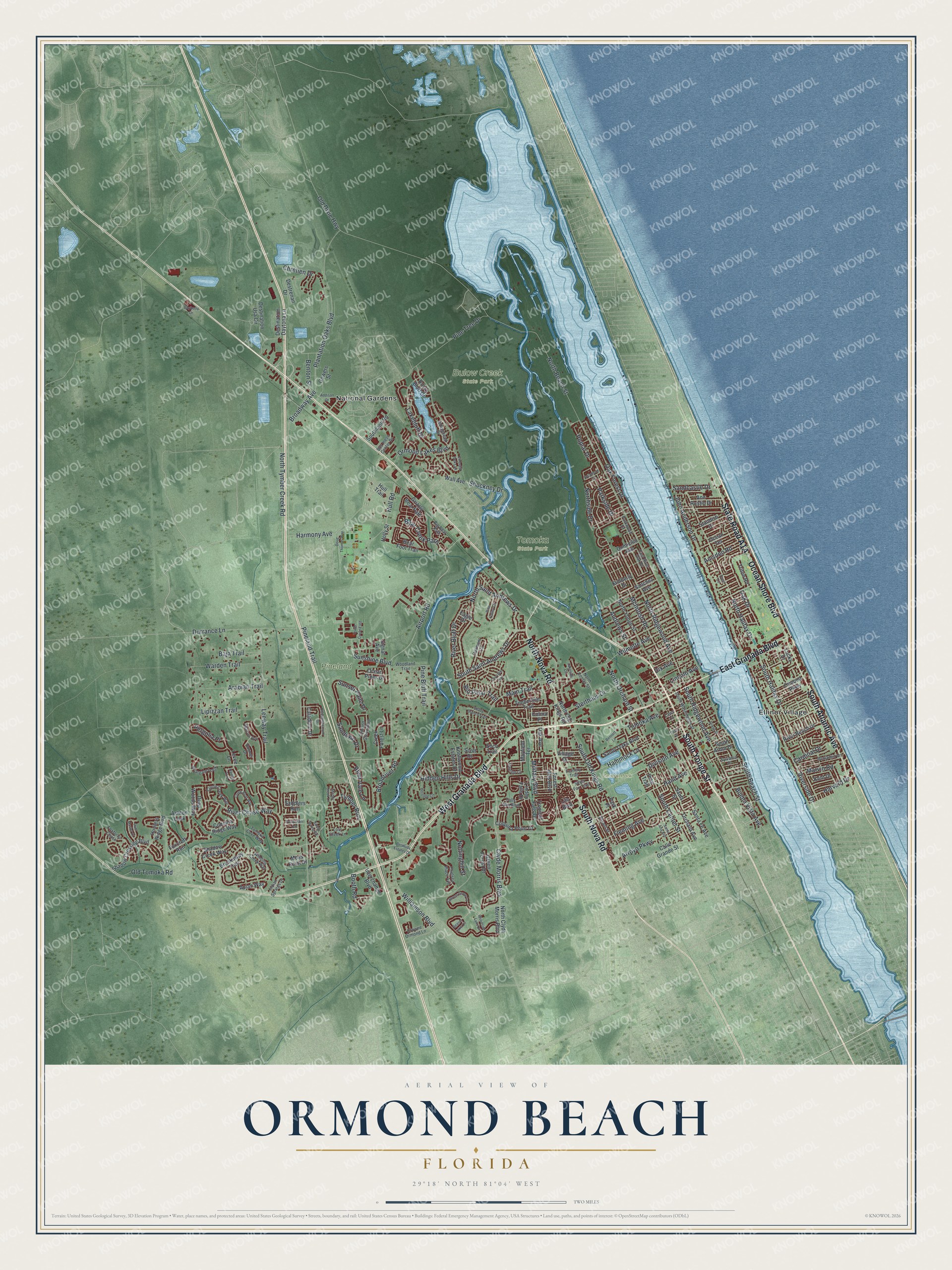
This beautifully detailed map of Ormond Beach, Florida was created in 2026 using aerial imagery combined with modern topographical, census, street and landmark data. It’s a one-of-a-kind view of Ormond Beach that combines accurate data with a vintage aesthetic. The map shows every building in its true location, many of the roads carry their names, and the shaded topographic relief shows the shape of the land.
Explore an aerial view of Ormond Beach, Florida
On the map you’ll find Bulow Creek State Park, Central Park, Pineland, Tomoka State Park, Ellinor Village, and National Gardens, along with West Granada Boulevard, South Yonge Street, South Atlantic Avenue, South Nova Road, State Road A1A, Ocean Shore Boulevard, and more. If you look closely you can even find your house accurately drawn in its correct location. Zoom in on the preview to look for yours.
Did You Know?
Starting in 1902, drivers raced some of the first automobiles on the packed sand from Ormond to Daytona Beach. Ransom Olds and Alexander Winton tested their machines there. Timing equipment arrived in 1903, and the area became known as the Birthplace of Speed. In 1907, Glenn Curtiss rode a motorcycle 136.36 miles per hour, an unofficial world record.
Take a closer look at the Ormond Beach map
Names on this map
These names are printed on this map.
Places: Bulow Creek State Park, Central Park, Pineland, Tomoka State Park, Ellinor Village and National Gardens.
Streets and roads: West Granada Boulevard, South Yonge Street, South Atlantic Avenue, South Nova Road, Ocean Shore Boulevard, North Nova Road, East Granada Boulevard, North Tymber Creek Road, Hand Avenue, Tymber Run, Clyde Morris Boulevard, Main Trail.
More street names, A to Z
Abacus Avenue, Addison Drive, Airport Road, Amsden Road, Andrews Street, Ann Rustin Drive, Apian Way, Arabian Trail, Arroyo Parkway, Ashton Look, Baja Trail, Bayberry Drive, Bear Creek Path, Bear Foot Trail, Beaver Lake Circle, Benjamin Drive, Bennett Lane, Benton Street, Bermuda Estates Drive, Big Bear Path, Booth Road, Breakaway Trail, Briargate Look, Broadriver Road, Broadway Avenue, Bryant Street, Buena Vista Avenue, Bus Iness Center Drive, Caladium Drive, Calle Grande Street, Cardinal Drive, Chelsea Place Avenue, Choctaw Trail, Chretien Drive, Chrysanthemum Drive, Circle Creek Way, Colina Place, Coquina Point Drive, Coquina Ridge Way, Creek Bluff Way, Creek Forest Lane, Crowne Ormond Lane, Cypress Grove Lane, Deep Woods Way, Destination Daytona Lane, Destination Usa Circle, Destrenan Drive, Division Avenue, Dix Avenue, Domicilio Avenue, Dormer Drive, Doug Thomas Way, Druid Circle, Durrance Lane, Eagle Drive, East River Oak Drive, Emerald Oaks Lane, Falls Way Boulevard, Fernery Trail, Fleming Avenue, Forest Hills Boulevard, Foxcroft Run, Foxfords Chase, Gowers Street, Green Forest Drive, Grizzly Bear Path, Grove Street, Hamlet Trce, Hammock Lane, Harmony Avenue, Harvard Drive, Heritage Circle, Hidden Hills Drive, Holly Street, Hull Road, Hull Trail, Hunters Ridge Boulevard, Hunt Master Court, Indianhead Drive, Indian Springs Drive, Interchange Boulevard, John Anderson Drive, Kent Drive, Kimberly Drive, Knollwood Estates Drive, Lakebluff Drive, Lakeside Circle, Laws Lane, Leeway Trail, Levee Lane, Life Boulevard, Lincoln Avenue, Linden Falls Drive, Lipizzan Trail, Lost Creek Lane, Lucky Drive, Marvin Road, Mayfield Circle, Mayfield Terrace, McIntosh Road, Military Boulevard, Moss Point Drive, Muddy Creek Lane, North Beach Street, North Center Street, North Clyde Morris Boulevard, North Halifax Drive, North Old Kings Road, North Orchard Street, North Ridgewood Avenue, North Saint Andrews Drive, Northside Drive, North Yonge Street, Nottinghill Street, Oak Avenue, Oak Drive, Oak Forest Drive, Oakmont Circle, Ocean Pines Drive, Ocean Terrace, Old Dixie Highway, Old Tomoka Road, Orchard Avenue, Ormond Green Boulevard, Ormond Lakes Boulevard, Ormond Parkway, Palm Place, Park Place, Parkside Drive, Parkwood Drive, Pergolia Place, Peruvian Lane, Pine Bluff Trail, Pineland Trail, Pine Trail, Pine Tree Drive, Pine Valley Circle, Plantation Oaks Boulevard, Poplar Drive, Rio Pinar Trail, River Beach Drive, River Bluff Drive, River Chase Way, Riverside Drive, River Vale Lane, Rocky Bluff Drive, Saddlers Run, Sanchez Avenue, Sandcastle Drive, Sandoval Drive, Sandy Oaks Boulevard, Sandy Spring Road, Santa Ana Avenue, Santa Fe Avenue, Sauls Street, Scott Drive, Shadow Creek Way, Shadow Crossing Boulevard, Shady Branch Trail, Shockney Drive, Signal Avenue, Silver Fox Trail, Soco Trail, South Arbor Drive, South Beach Street, South Center Street, South Halifax Drive, Southland Road, South Old Kings Road, South Ridgewood Avenue, South Saint Andrews Drive, South Washington Street, Standish Drive, Sterthaus Drive, Sunset Point Drive, Sunshine Boulevard, Sycamore Circle, Sylvania Place, Timberline Trail, Tomoka Avenue, Tomoka Cove Way, Tower Circle East, Triton Road, Tropical Falls Drive, Village Drive, Wall Avenue, Warden Trail, Williamson Boulevard, Wilmette Avenue, Winding Creek Way, Woodland Trail, Woodside Lake Drive.
See it on a wall
The Ormond Beach map as a framed print. Swipe for more.


This beautifully detailed map of Ormond Beach makes an attractive addition to your office, library, or den, and it can even be used to teach children the geography and history of the area. It also makes a great gift for someone who left Ormond Beach and still calls it home. When you’re done exploring, click here to get your copy of the Ormond Beach map.