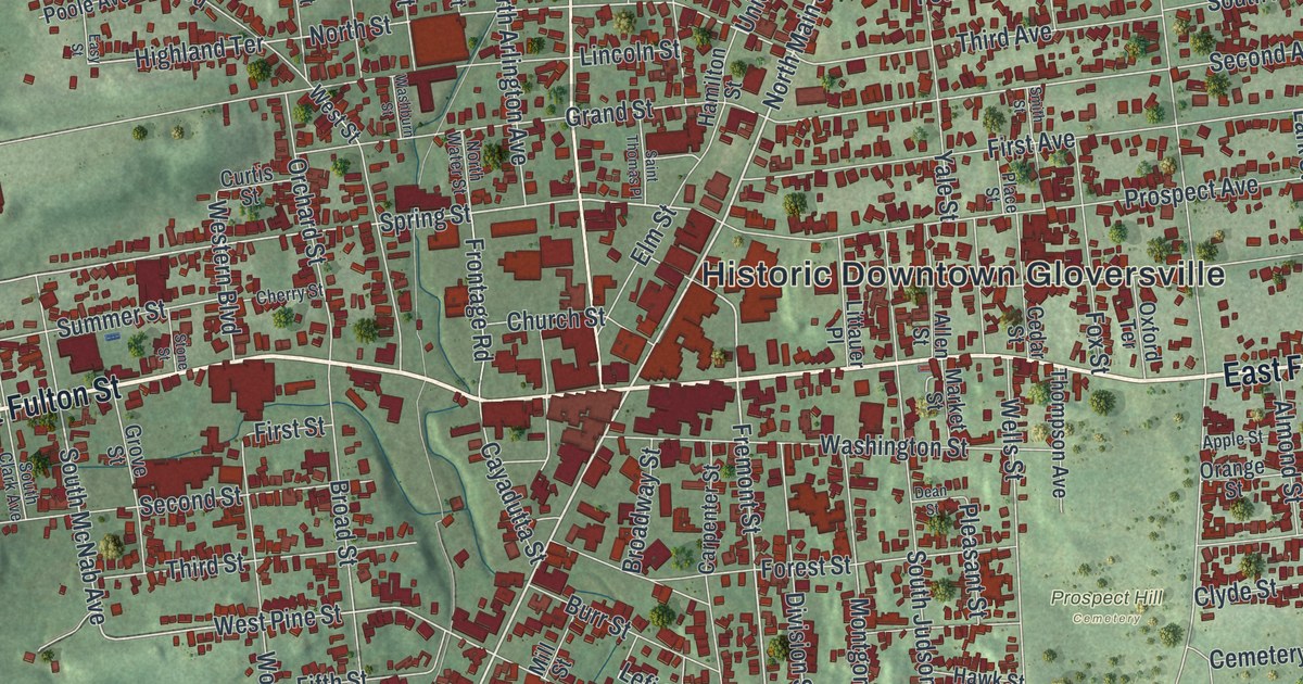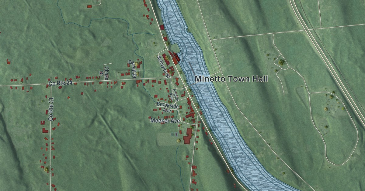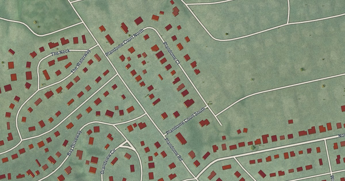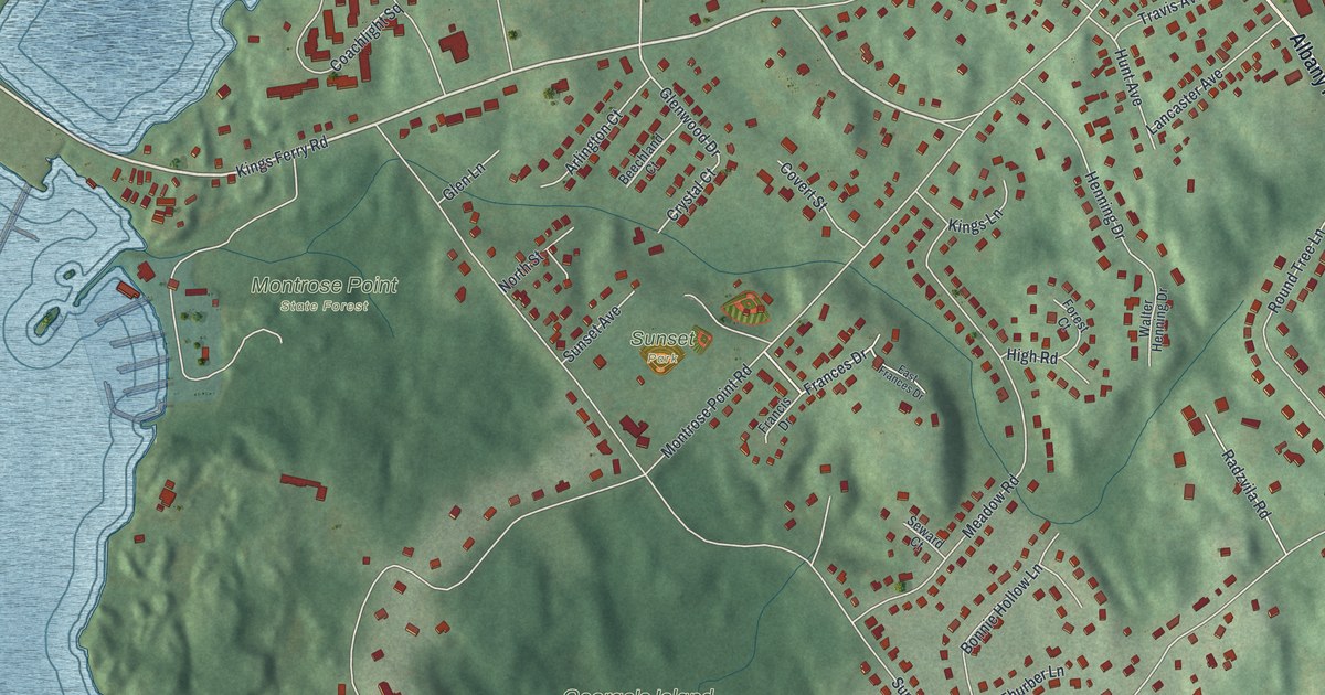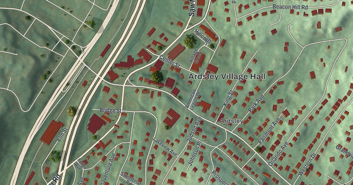
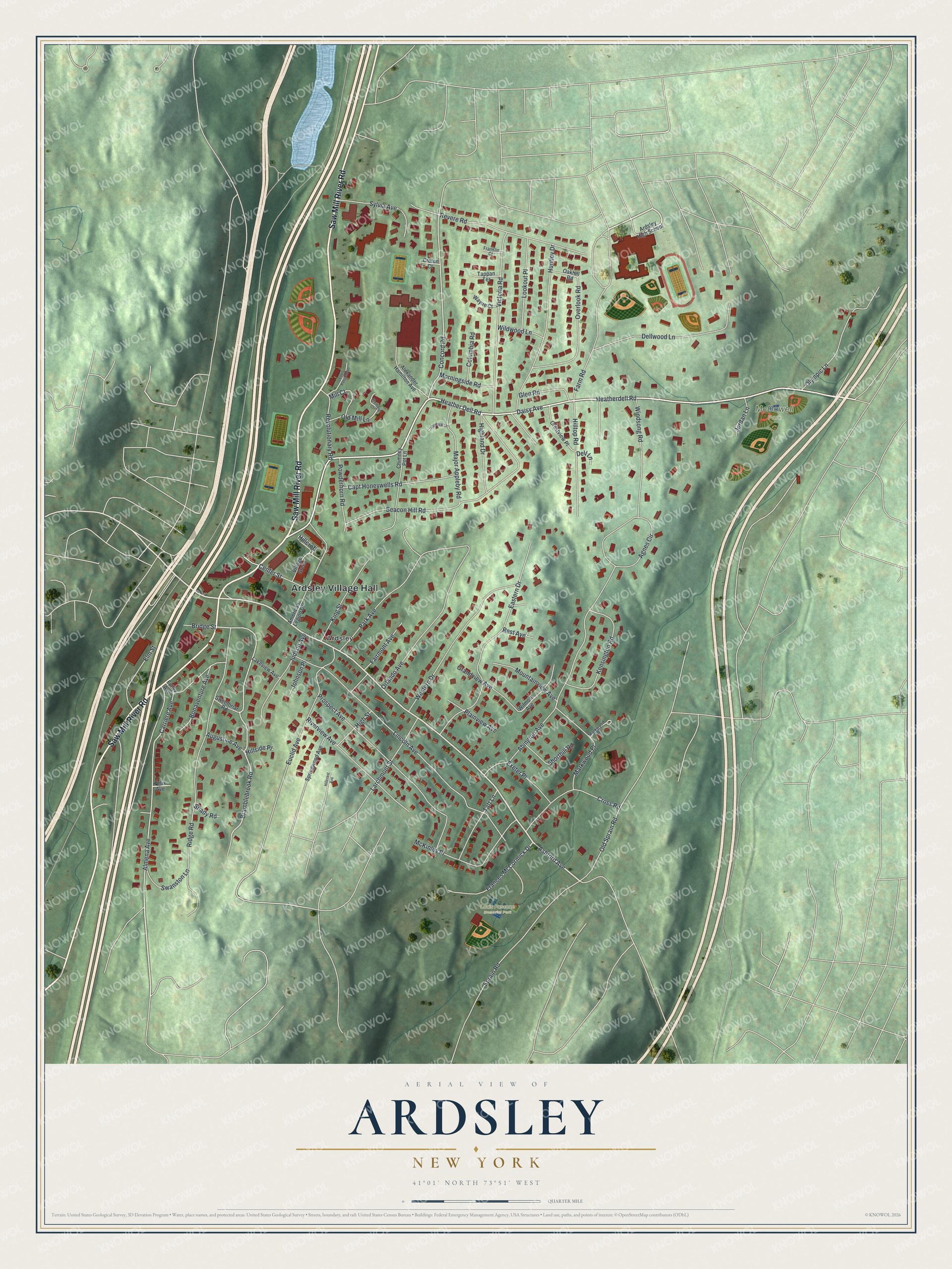
This beautifully detailed map of Ardsley, New York was created in 2026 using aerial imagery combined with modern topographical, census, street and landmark data. It’s a one-of-a-kind view of Ardsley that combines accurate data with a vintage aesthetic. The map shows every building in its true location, many of the roads carry their names, and the shaded topographic relief shows the shape of the land.
Explore an aerial view of Ardsley, New York
On the map you’ll find Ardsley Village Hall, Louis Pascone Memorial Park, and McDowell Park, along with Saw Mill River Road, Heather Dell Road, Daisy Avenue, Ashford Avenue, and more. If you look closely you can even find your house accurately drawn in its correct location. Zoom in on the preview to look for yours.
Did You Know?
The village was first called Ashford. New York already had an Ashford post office, so the village needed a new name to get its own. It chose Ardsley, after the estate of Cyrus West Field. He named that estate for East Ardsley in Yorkshire, birthplace of his ancestor Zechariah, who came to America in 1629.
Take a closer look at the Ardsley map
Names on this map
These names are printed on this map.
Places: Ardsley Village Hall, Louis Pascone Memorial Park, McDowell Park and Ardsley.
Streets and roads: Saw Mill River Road, Heather Dell Road, Daisy Avenue, Ashford Avenue, Farm Road, Heatherdell Road, Bramblebrook Road, Concord Road, Almena Avenue, Lincoln Avenue, Abington Avenue, Beacon Hill Road.
More street names, A to Z
Agnes Circle, Alexander Hamilton Avenue, American Legion Drive, Ardsley High School, Augustine Avenue, Bonaventure Avenue, Bridge Street, Capt Honeywells Road, Carriere Avenue, Center Street, Chimney Pot Lane, Columbia Road, Crestview Place, Cross Road, Croton Court, Dell Lane, Dellwood Lane, Eastern Drive, Elm Street, Euclid Avenue, Exeter Place, Fairmont Avenue, Felix Avenue, Flintlock Lane, Frances McCormick Drive, Franklin Court, Fuller Avenue, Glen Road, Grandview Avenue, Highland Drive, High Street, Hillcrest Avenue, Hillcroft, Hillside Place, Hilltop Road, Huntley Drive, Johnson Place, Jordan Lane, Judson Avenue, Kensington Road, King Street, Lakeview Avenue, Larchmont Street, Lookout Place, Louis Pascone Lane, Major Appleby Road, Markwood Place, Markwood Road, McKinley Place, Mill Court, Morningside Road, Mountainview Avenue, Oakhill Road, Old Mill Lane, Old Sprain Road, Olympic Lane, Orlando Avenue, Overlook Road, Park Avenue, Plainview Avenue, Powderhorn Road, Prospect Avenue, Rest Avenue, Revere Road, Revolutionary Road, Ridge Road, Riverview Avenue, Shady Road, Sheffield Court, Shorthill Road, Sprain Road, Springwood Avenue, Swanston Lane, Sweetbriar Road, Sylvia Avenue, Taft Lane, Tappan Terrace, Victoria Road, Village Green, Wayne Court, Western Drive, Wildwood Lane, Wilmoth Avenue, Windsong Road.
See it on a wall
The Ardsley map as a framed print. Swipe for more.


This beautifully detailed map of Ardsley makes an attractive addition to your office, library, or den, and it can even be used to teach children the geography and history of the area. It also makes a great gift for anyone with Ardsley roots. When you’re done exploring, click here to get your copy of the Ardsley map.