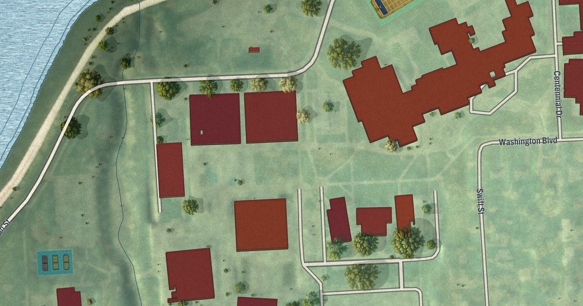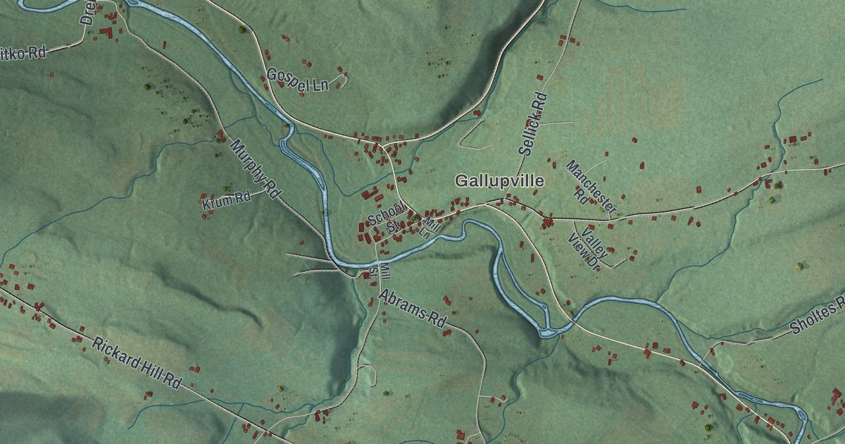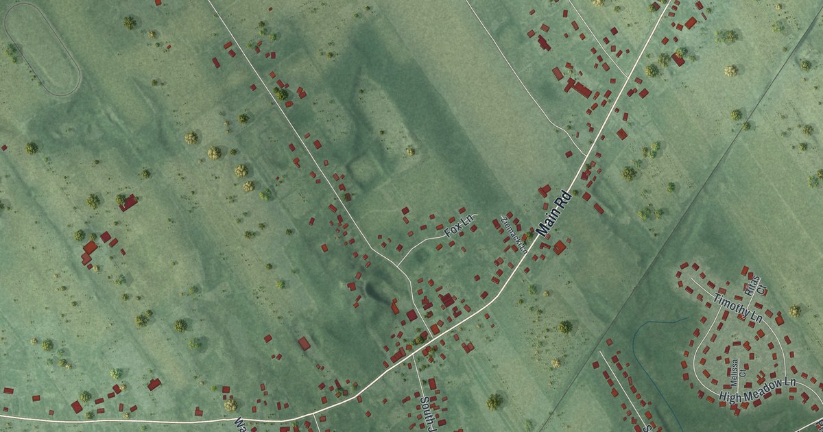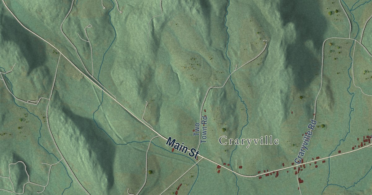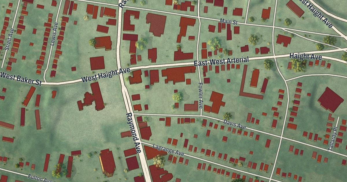
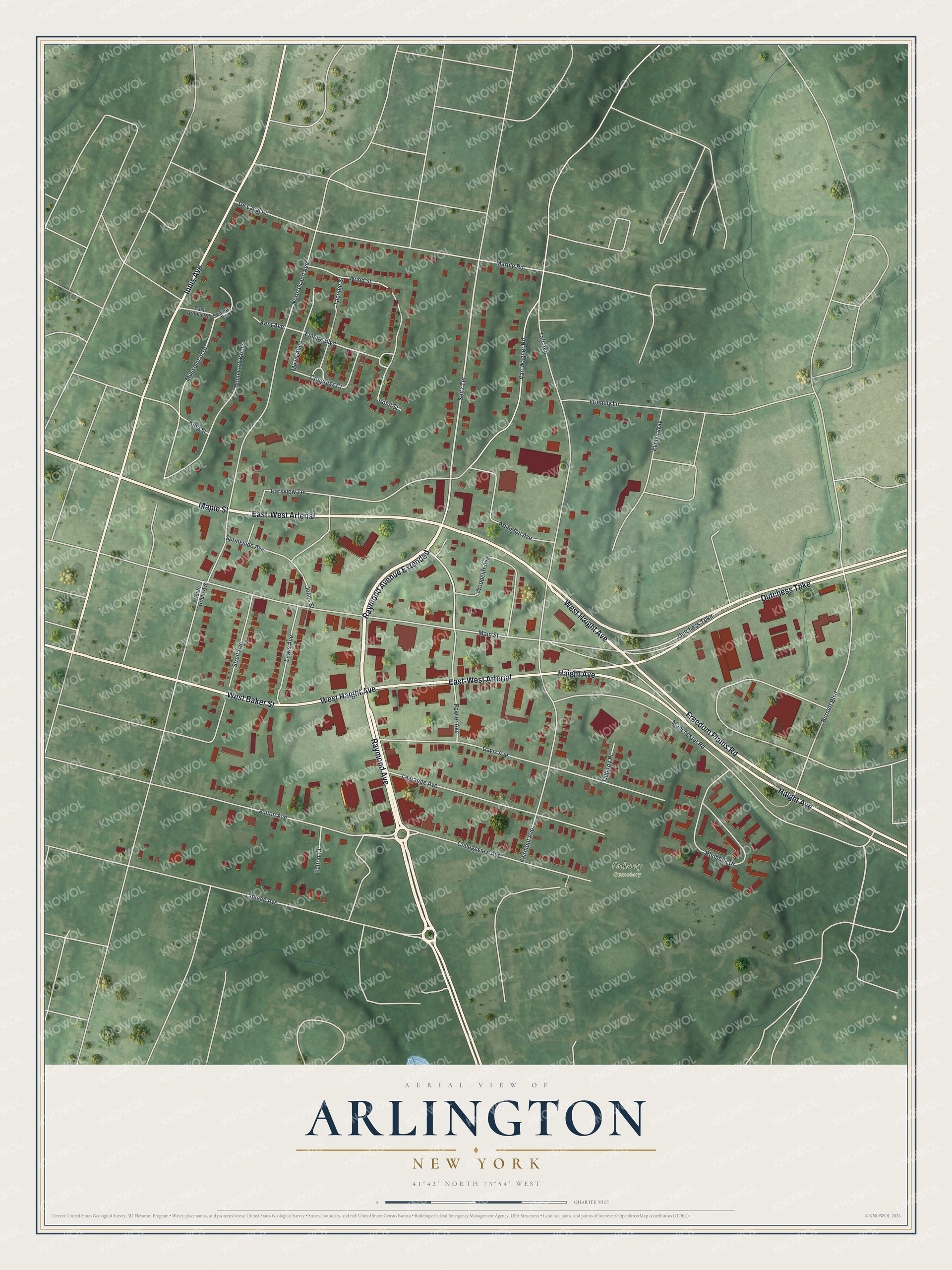
This beautifully detailed map of Arlington, New York was created in 2026 using aerial imagery combined with modern topographical, census, street and landmark data. It’s a one-of-a-kind view of Arlington that combines accurate data with a vintage aesthetic. The map shows every building in its true location, many of the roads carry their names, and the shaded topographic relief shows the shape of the land.
Explore an aerial view of Arlington, New York
On the map you’ll find Raymond Avenue Extended, East-West Arterial, and Calvary Cemetery, along with Raymond Avenue, Haight Avenue, Freedom Plains Road, and more. If you look closely you can even find your house accurately drawn in its correct location. Zoom in on the preview to look for yours.
Did You Know?
Arlington Speedway, also called Airport Speedway, opened in 1951 as a quarter-mile dirt oval. It held stock car races as the sport boomed in Dutchess County after World War II. The last races ran in 1962. The land then became the site of a radio station.
Take a closer look at the Arlington map
Names on this map
These names are printed on this map.
Places: Calvary Cemetery.
Streets and roads: Raymond Avenue, Raymond Avenue Extended, East-West Arterial, West Haight Avenue, Freedom Plains Road, Dutchess Turnpike, Maple Street, Haight Avenue, Innis Avenue, West Baker Street, Van Wagner Road, Fulton Avenue.
More street names, A to Z
Arlington Avenue, Boulevard Knolls, Burnett Boulevard, College Avenue, Collegeview Avenue, Congress Court, Davis Avenue, De Laval Place, East Arnold Road, Empire Boulevard, Evelyn Way, Fairmont Avenue, Fowler Avenue, Friendly Lane, Fulton Court, Jones Street, Kent Avenue, King Street, Lagrange Avenue, Lewis Avenue, Main Street, Manchester Road, Marple Road, Mews Alley, Musselman Drive, North Grand Avenue, Parkview Terrace, Pond Street, Rhobella Drive, Seabury Terrace, Seitz Terrace, South Grand Avenue, Springside Avenue, Streit Avenue, Taconic Street, Taft Avenue, Tallardy Place, Woodcliff Avenue, Wood Street.
See it on a wall
The Arlington map as a framed print. Swipe for more.


This beautifully detailed map of Arlington makes an attractive addition to your office, library, or den, and it can even be used to teach children the geography and history of the area. It also makes a great gift for anyone with Arlington roots. When you’re done exploring, click here to get your copy of the Arlington map.