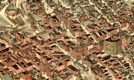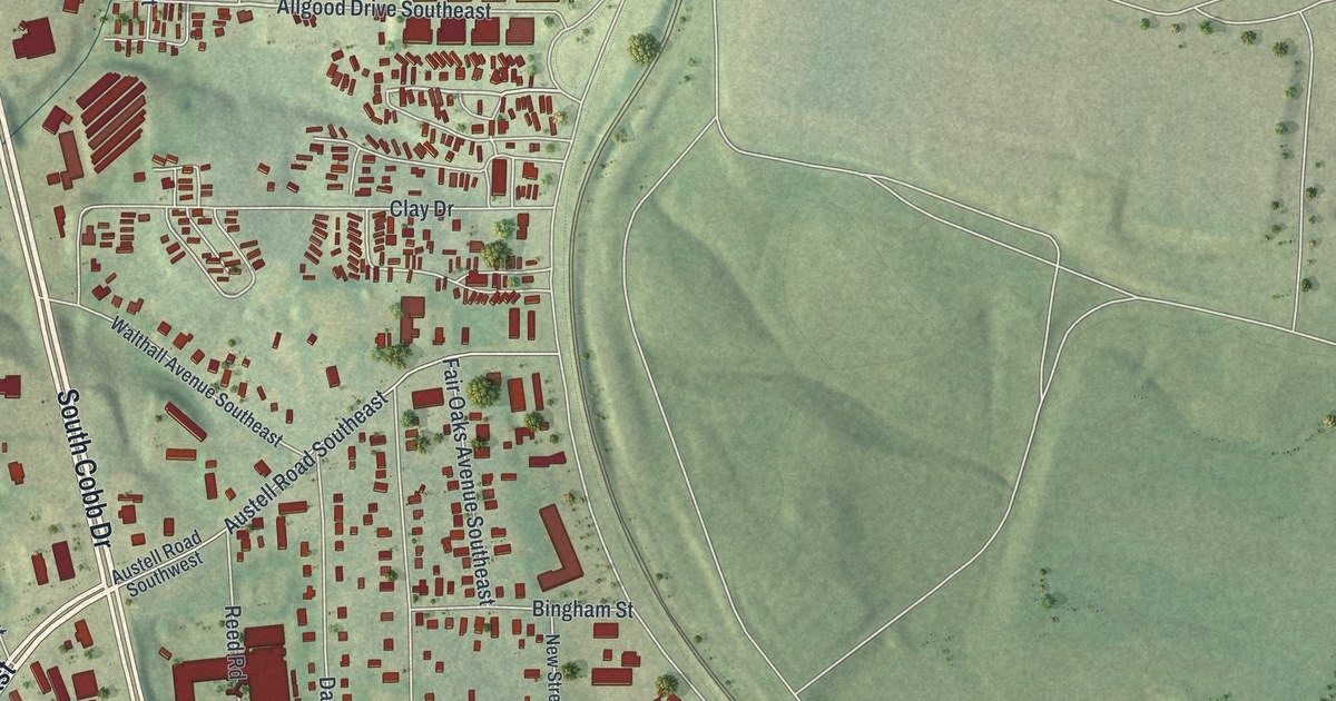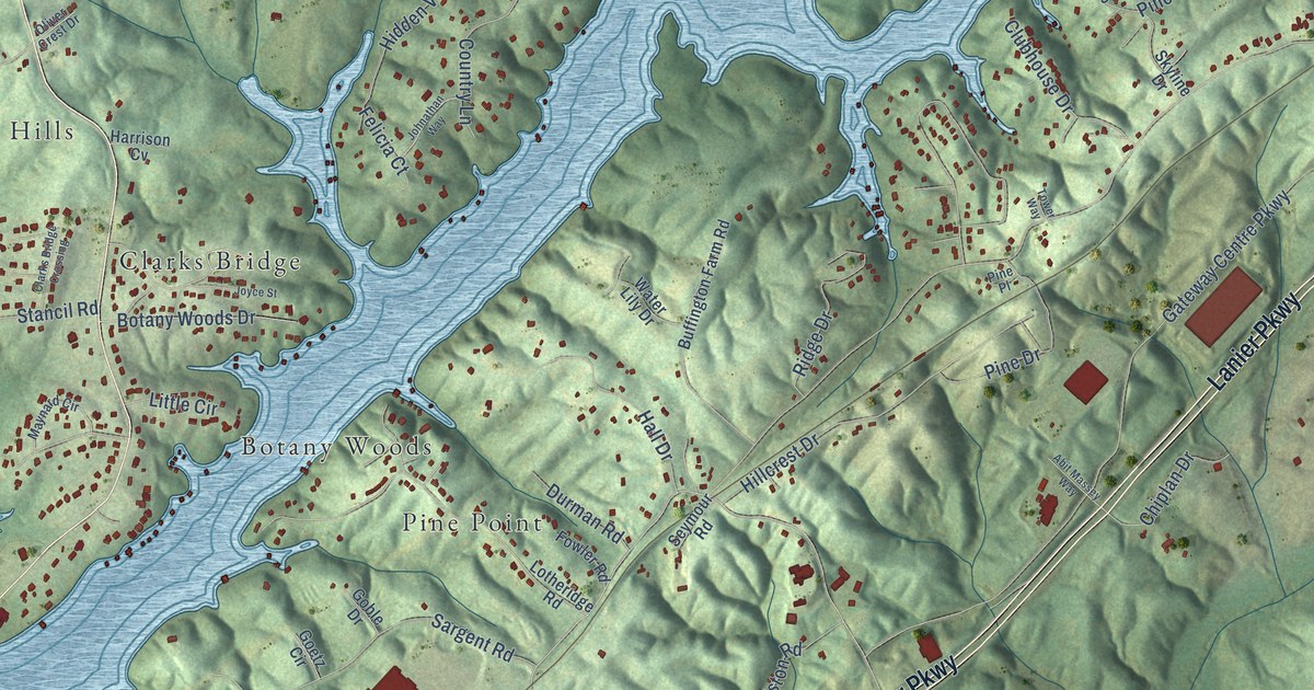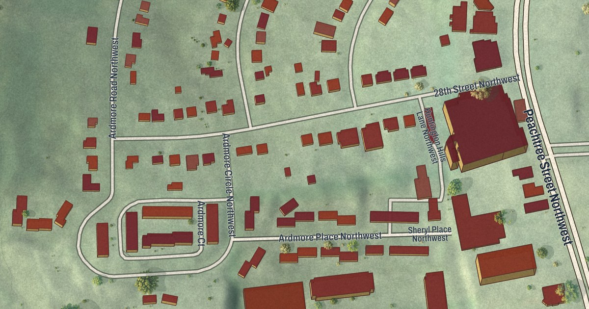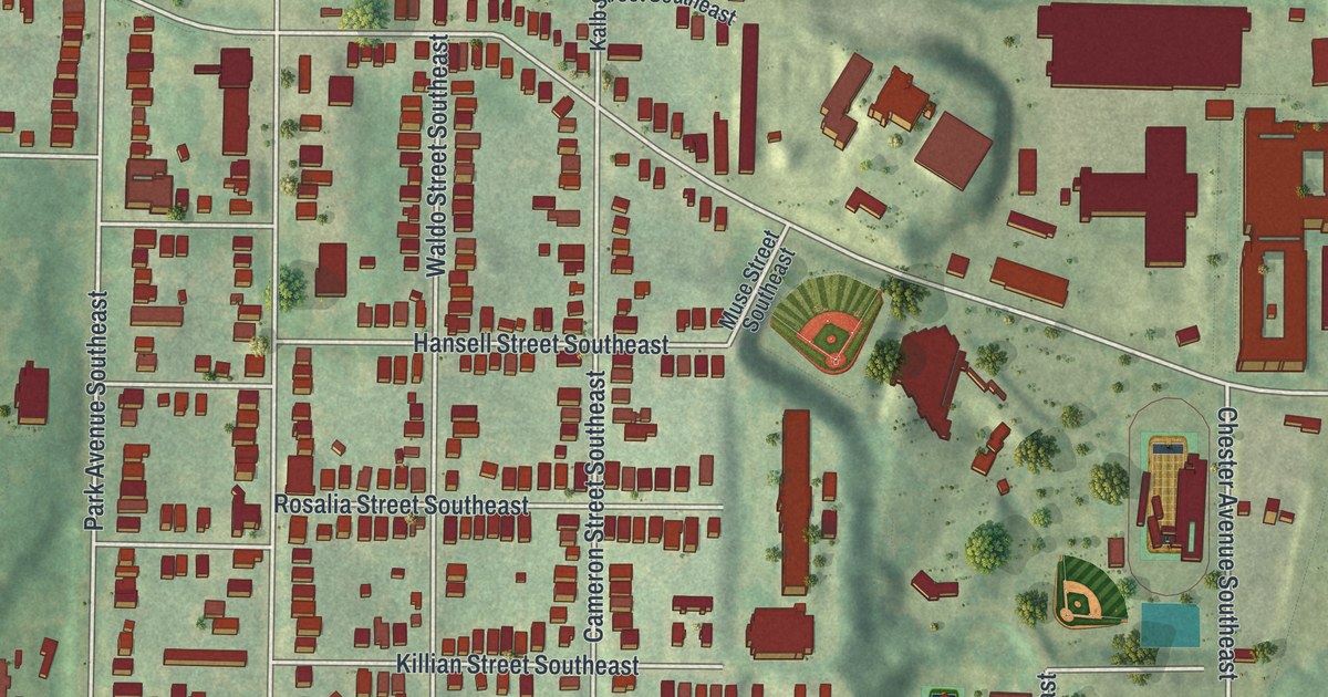
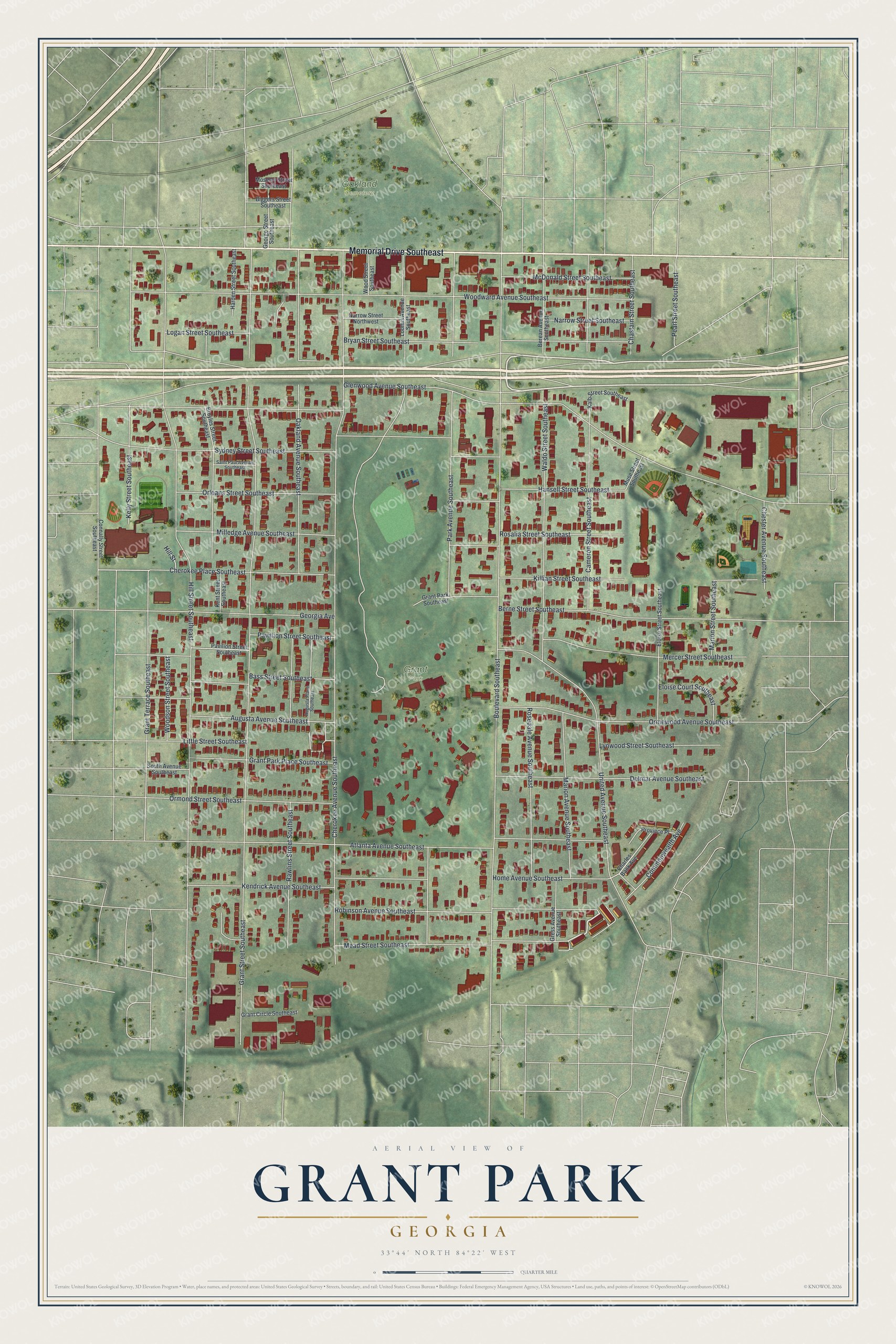
This beautifully detailed map of Grant Park, Georgia was created in 2026 using aerial imagery combined with modern topographical, census, street and landmark data. It’s a one-of-a-kind view of Grant Park that combines accurate data with a vintage aesthetic. The map shows every building in its true location, many of the roads carry their names, and the shaded topographic relief shows the shape of the land.
Explore an aerial view of Grant Park, Georgia
On the map you’ll find Oakland Cemetery, along with Memorial Drive, Mead Street, Grant Street, Boulevard Southeast, Hill Street, and more. If you look closely you can even find your house accurately drawn in its correct location. Zoom in on the preview to look for yours.
Did You Know?
Grant Park is Atlanta’s oldest city park. It began in 1883, when engineer Lemuel P. Grant gave the city 100 acres near his home. The park and neighborhood both carry his name. His 1858 mansion is the oldest house in Atlanta still standing on its first site.
Take a closer look at the Grant Park map
Names on this map
These names are printed on this map.
Places: Grant Park and Oakland Cemetery.
Streets and roads: Memorial Drive Southeast, Mead Street Southeast, Grant Street Southeast, Boulevard Southeast, Hill Street Southeast, Glenwood Avenue Southeast, Cherokee Avenue Southeast, Woodward Avenue Southeast, Oakland Avenue Southeast, Atlanta Avenue Southeast, Park Avenue Southeast, Sydney Street Southeast.
More street names, A to Z
Augusta Avenue Southeast, Augusta Place Southeast, Bass Street Southeast, Berean Avenue Southeast, Berne Street Southeast, Biggers Street Southeast, Broyles Street Southeast, Bryan Street Southeast, Cameron Street Southeast, Charles Bank Avenue, Chastain Street Southeast, Cherokee Place Southeast, Chester Avenue Southeast, Commonwealth Avenue, Connally Street Southeast, Delmar Avenue Southeast, Eloise Court Southeast, Eloise Street Southeast, George Street Southeast, Georgia Avenue, Grant Circle Southeast, Grant Park Place Southeast, Grant Park Southeast, Grant Terrace Southeast, Gress Avenue Southeast, Hansell Street Southeast, Harden Street Southeast, Hill Street, Home Avenue Southeast, Kalb Street Southeast, Kelly Street Southeast, Kendrick Avenue Southeast, Kent Street Southeast, Killian Street Southeast, Little Street Southeast, Logan Street Southeast, Loomis Avenue Southeast, Lynwood Street Southeast, Marion Avenue Southeast, Marion Street Southeast, McDonald Street Southeast, Mercer Street Southeast, Milledge Avenue Southeast, Moseley Street Southeast, Muse Street Southeast, Narrow Street Northwest, Narrow Street Southeast, Orleans Street Southeast, Ormewood Avenue Southeast, Ormond Street Southeast, Pavilion Street Southeast, Pavillion Street Southeast, Pearl Street Southeast, Province Place, Rawlins Street Southeast, Robinson Avenue Southeast, Rosalia Street Southeast, Rosedale Avenue Southeast, Saint Paul Avenue Southeast, South Avenue Southeast, United Avenue Southeast, Waldo Street Southeast, Woodson Street Southeast, Wood Street Southeast.
See it on a wall
The Grant Park map as a framed print. Swipe for more.


This beautifully detailed map of Grant Park makes an attractive addition to your office, library, or den, and it can even be used to teach children the geography and history of the area. It also makes a great gift for anyone who grew up in Grant Park or moved away. When you’re done exploring, click here to get your copy of the Grant Park map.