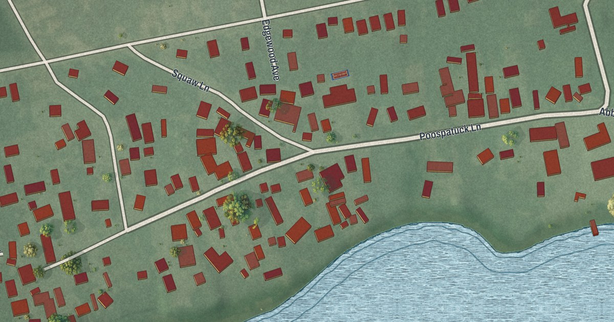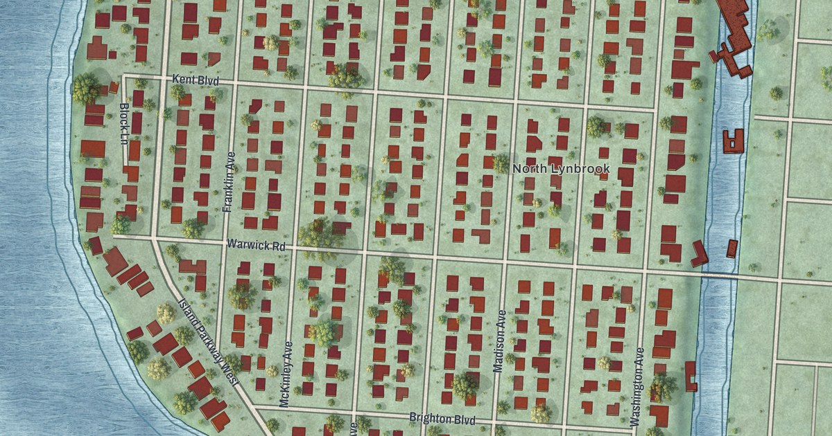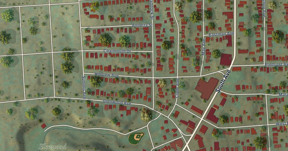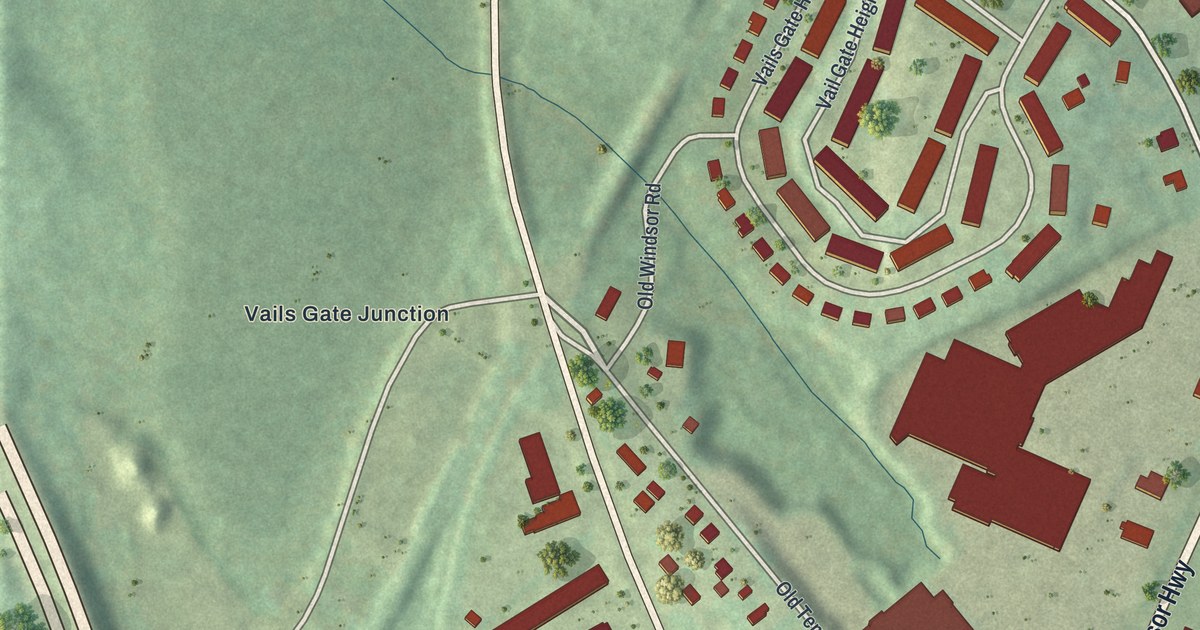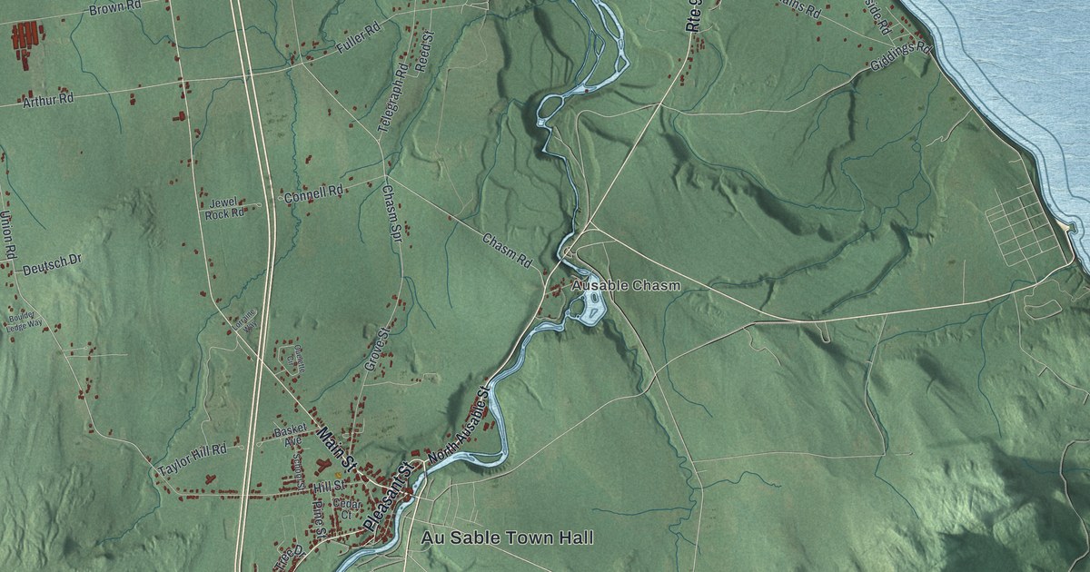
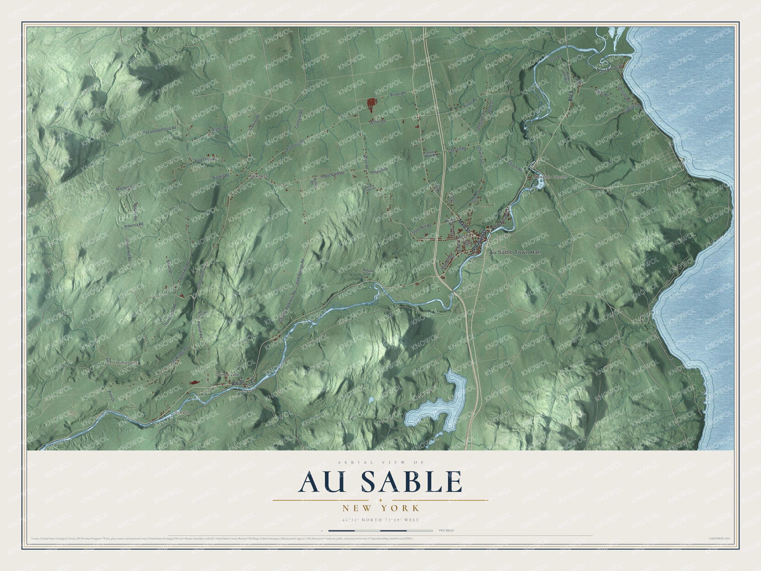
This beautifully detailed map of Au Sable, New York was created in 2026 using aerial imagery combined with modern topographical, census, street and landmark data. It’s a one-of-a-kind view of Au Sable that combines accurate data with a vintage aesthetic. The map shows every building in its true location, many of the roads carry their names, and the shaded topographic relief shows the shape of the land.
Explore an aerial view of Au Sable, New York
On the map you’ll find Au Sable Town Hall, Rogers, Ausable Chasm, Thomasville, Clintonville, and Harkness, along with Main Street, Pleasant Street, Ausable Street, Sand Road, and more. If you look closely you can even find your house accurately drawn in its correct location. Zoom in on the preview to look for yours.
Did You Know?
Au Sable takes its name from the Ausable River, which flows through the town. The name means of sand. Settlers, mostly of English descent, arrived around 1795. Part of Peru became the new town in 1839.
Take a closer look at the Au Sable map
Names on this map
These names are printed on this map.
Places: Au Sable Town Hall, Rogers, Ausable Chasm, Thomasville, Clintonville and Harkness.
Streets and roads: Main Street, Route 9, Pleasant Street, Sand Road, Giddings Road, Hallock Hill Road, Calkins Road, Hibernia Road, Thomasville Road, Chasm Spr, Union Road, Clintonville Road.
More street names, A to Z
Allen Hill Road, Arnold Hill Road, Arthur Road, Ausable Beach Road, Balsam Drive, Basket Avenue, Big Hill Road, Boulder Ledge Way, Brown Road, Buck Hill Road, Canovan Road, Cedar Court, Charles Harkness Road, Chasm Road, Cold Springs Road, Connell Road, Deep Well Way, Deutsch Drive, Dry Bridge Road, Fred Thew Road, Fuller Road, Gray Road, Grove Street, Harkness Road, Hill Street, Hilltop Drive, Jewel Rock Road, Lakeside Road, Lorraine Way, Lower Road, Martin Road, Mitchell Road, Murphy Road, North Ausable Street, Old County Road, Ouelette Circle, Parrish Road, Pine Drive, Pine Street, Pine Tree Drive, Plains Road, Reed Street, Rod and Gun Club Road, School Street, Signor Road, Silver Street, Taylor Hill Road, Telegraph Road.
See it on a wall
The Au Sable map as a framed print. Swipe for more.


This beautifully detailed map of Au Sable makes an attractive addition to your office, library, or den, and it can even be used to teach children the geography and history of the area. It also makes a great gift for anyone with Au Sable roots. When you’re done exploring, click here to get your copy of the Au Sable map.