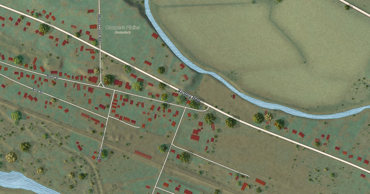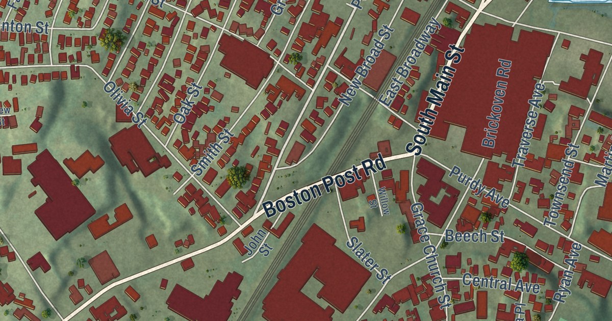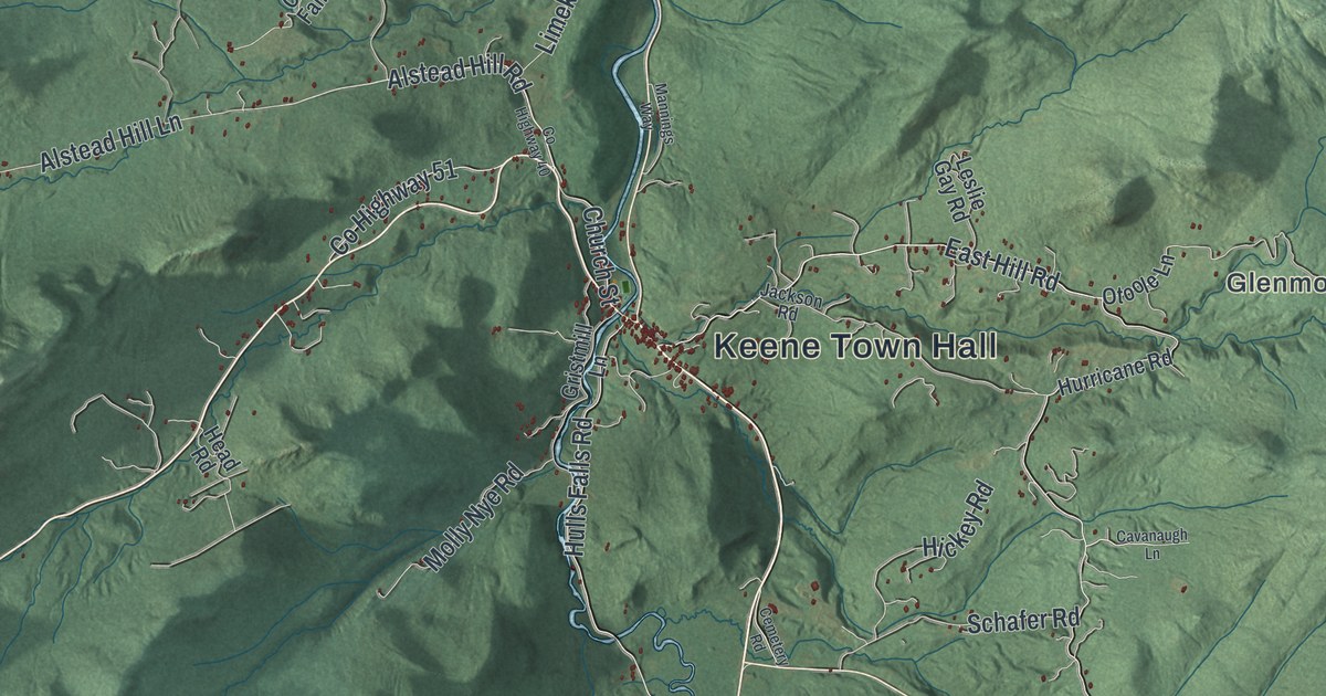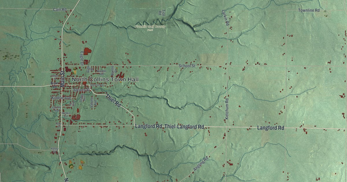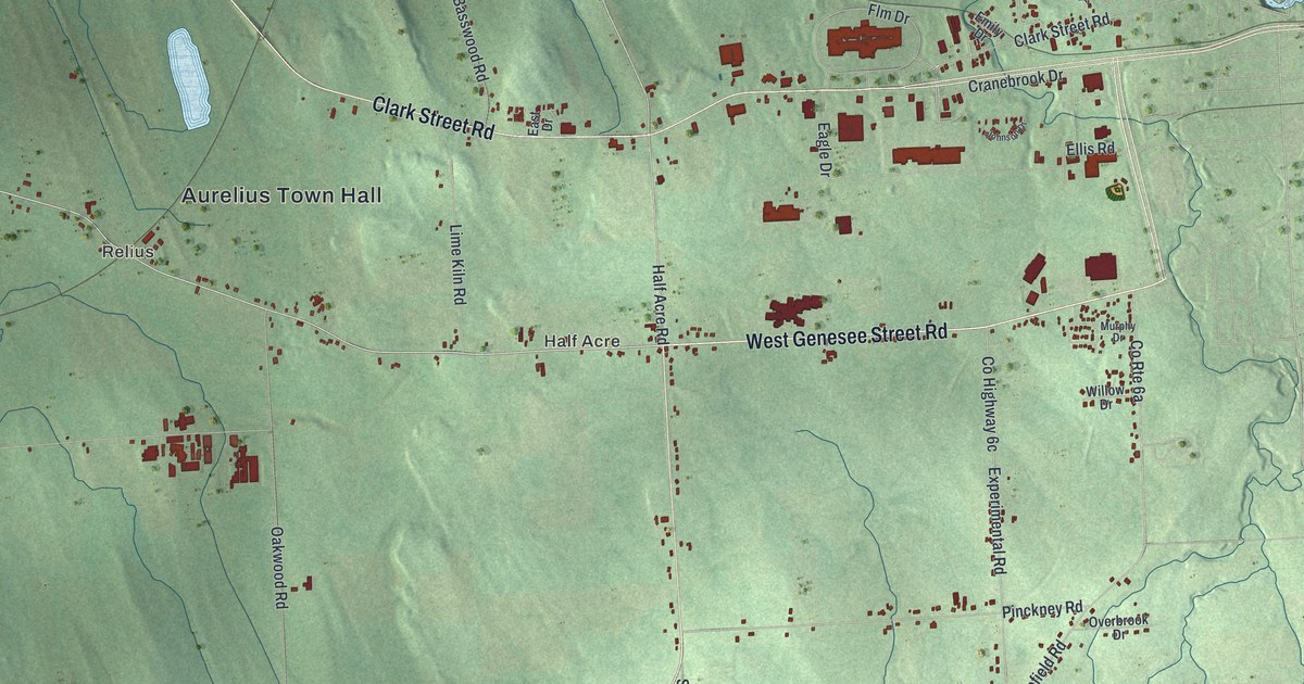
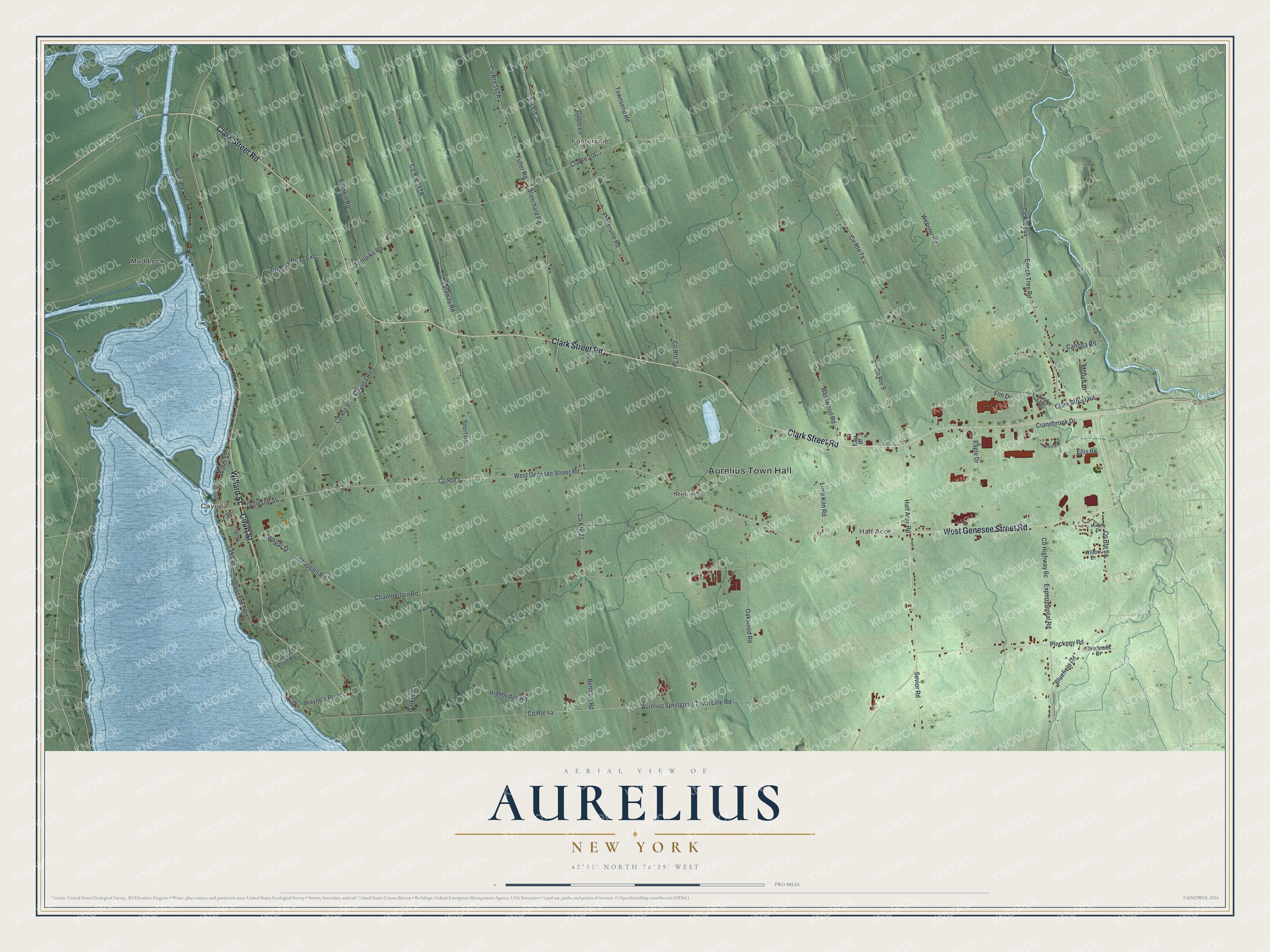
This beautifully detailed map of Aurelius, New York was created in 2026 using aerial imagery combined with modern topographical, census, street and landmark data. It’s a one-of-a-kind view of Aurelius that combines accurate data with a vintage aesthetic. The map shows every building in its true location, many of the roads carry their names, and the shaded topographic relief shows the shape of the land.
Explore an aerial view of Aurelius, New York
On the map you’ll find Aurelius Town Hall, Cayuga, Half Acre, Fosterville, Relius, and Mud Lock, along with Genesee Street Road, Willard Street, Clark Street Road, Court Street, and more. If you look closely you can even find your house accurately drawn in its correct location. Zoom in on the preview to look for yours.
Did You Know?
Aurelius takes its name from the Roman emperor Marcus Aurelius. Its land lay in the Central New York Military Tract, which repaid New York soldiers for their service in the Revolution. The town was formed in 1789. Later the town of Auburn was carved from part of it.
Take a closer look at the Aurelius map
Names on this map
These names are printed on this map.
Places: Aurelius Town Hall, Cayuga, Half Acre, Fosterville, Relius and Mud Lock.
Streets and roads: West Genesee Street Road, Willard Street, Clark Street Road, Court Street, County Route 1, Genesee Street, Half Acre Road, Water Street, River Road, Cranebrook Drive, Pinckney Road, Turnpike Road.
More street names, A to Z
Aurelius Springport Town Line Road, Baldwin Road, Basswood Road, Beech Tree Road, Benham Road, Blanchard Road, Bluefield Road, Cadet Lane, Canoga Road, Cayuga Road, Center Street, Chamberlain Road, Chappell Road, County Route 8, County Route 9, County Route 21, County Route 144, Davis Point Road, Eagle Drive, East Drive, Ellis Road, Emily Drive, Experimental Road, Flm Drive, Fosterville Road, Fuller Road, Gable Lane, Highbridge Road, Johnson Drive, Lake Street, Laraway Road, Lime Kiln Road, Lower Lake Road, Mullen Drive, Murphy Drive, Oakwood Road, Overbrook Drive, Sevior Road, Short Road, Townsend Road, Turnpike Road Extension, Walker Road, Wayne's Point, Waynes Point, Webster Road, Wheat Street, Willow Drive.
See it on a wall
The Aurelius map as a framed print. Swipe for more.


This beautifully detailed map of Aurelius makes an attractive addition to your office, library, or den, and it can even be used to teach children the geography and history of the area. It also makes a great gift for someone who left Aurelius and still calls it home. When you’re done exploring, click here to get your copy of the Aurelius map.