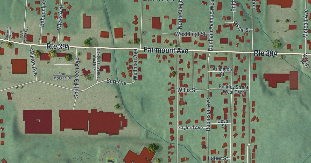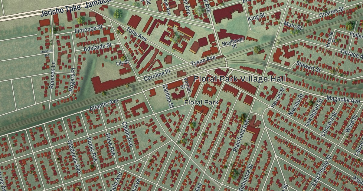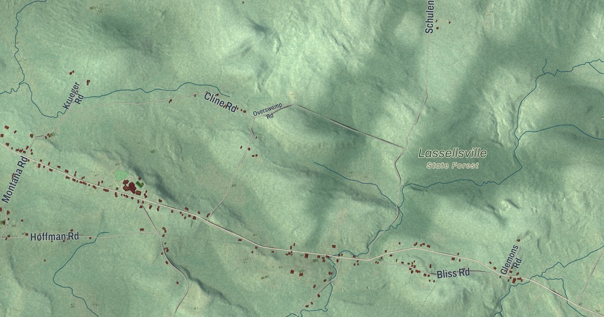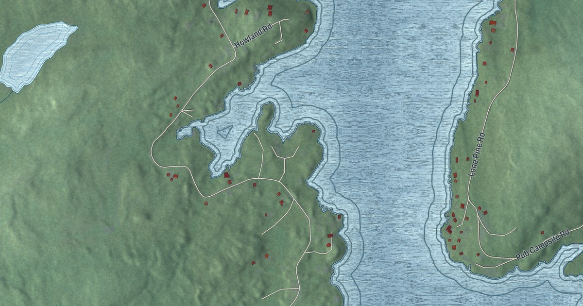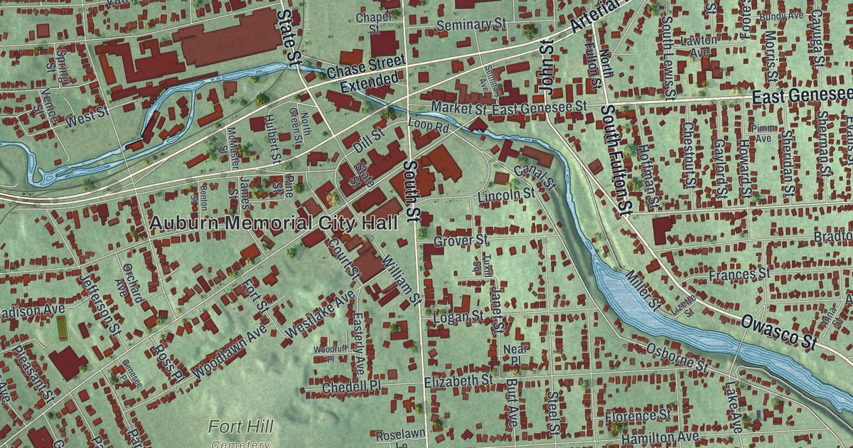
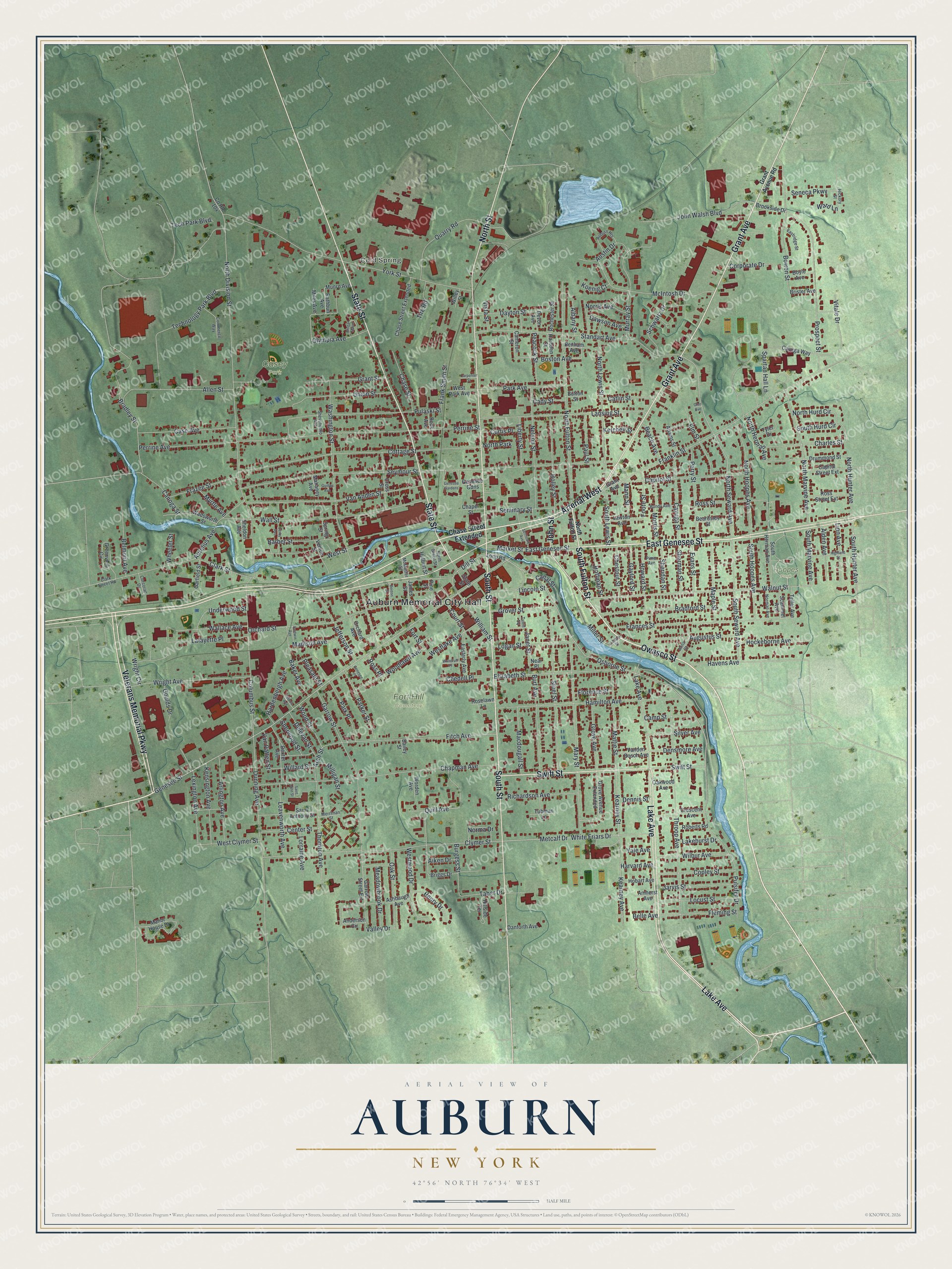
This beautifully detailed map of Auburn, New York was created in 2026 using aerial imagery combined with modern topographical, census, street and landmark data. It’s a one-of-a-kind view of Auburn that combines accurate data with a vintage aesthetic. The map shows every building in its true location, many of the roads carry their names, and the shaded topographic relief shows the shape of the land.
Explore an aerial view of Auburn, New York
On the map you’ll find Auburn Memorial City Hall, Cold Spring, Casey Park, Fort Hill Cemetery, and Hoopes Park, along with Genesee Street, Fulton Street, Lake Avenue, Veterans Memorial Parkway, and more. If you look closely you can even find your house accurately drawn in its correct location. Zoom in on the preview to look for yours.
Did You Know?
Auburn was founded in 1793 by John L. Hardenbergh. He had fought in the Sullivan-Clinton campaign during the Revolution. The community grew around his gristmill and sawmill and was first called Hardenbergh’s Corners. Becoming the county seat in 1805, it was renamed Auburn.
Take a closer look at the Auburn map
Names on this map
These names are printed on this map.
Places: Auburn Memorial City Hall, Cold Spring, Casey Park, Fort Hill Cemetery, Hoopes Park and North Park.
Streets and roads: East Genesee Street, South Fulton Street, Lake Avenue, Veterans Memorial Parkway, Grant Avenue, Owasco Street, John Street, State Street, North Street, South Street, Swift Street, Arterial West.
More street names, A to Z
Adams Street, Aiken Drive, Albany Street, Alden Avenue, Allen Street, Amherst Avenue, Anderson Circle, Anna Street, Arch Street, Arlington Avenue, Ashbaugh Avenue, Auburn Heights, Augustus Street, Aurelius Avenue, Austin Drive, Bailey Street, Baker Avenue, Baldwin Avenue, Barber Street, Beach Avenue, Beardsley Street, Belle Avenue, Belmont Avenue, Benham Avenue, Benton Street, Boston Avenue, Bowen Street, Boyle Avenue, Bradford Street, Bradley Street, Briggs Drive, Brister Avenue, Brogan Manor, Brookside Drive, Bundy Avenue, Burgess Street, Burt Avenue, Button Street, Cady Street, Cameron Street, Camp Street, Canal Street, Canoga Street, Capitol Street, Capitol Street Extension, Carpenter Street, Case Avenue, Catlin Street, Cayuga Street, Cayuga Way, Center Street, Chapel Street, Chapman Avenue, Charles Street, Chase Street, Chase Street Extended, Chedell Place, Chestnut Street, Clark Street, Clark Street Road, Clymer Street, Columbus Street, Commerce Way, Copley Street, Corcoran Drive, Corporate Drive, Cottage Street, County Route 104, Court Street, Crescent Avenue, Cross Street, Curtis Place, Danforth Avenue, Dawson Avenue, Dayton Street, Delevan Street, Dennis Street, Densmore Avenue, Derby Avenue, Devon Avenue, Dexter Avenue, Dill Street, Drummond Street, Dunning Avenue, Easterly Avenue, Eastridge Street, Elizabeth Street, Elm Street, Evans Street, Fitch Avenue, Fleming Street, Florence Street, Foote Street, Fort Street, Frances Street, Franklin Street, Frank Smith Street, Frazee Street, Garfield Street, Garrow Street, Garrow Street Extension, Gaylord Street, Genesee Gardens, Genesee Gdns, Genesee Place, Genesee Street, Glen Avenue, Goulds Drive, Grant Avenue Road, Grant Street, Greenview Circle, Grove Avenue, Grove Avenue Extended, Grover Street, Guilfoil Avenue, Hamilton Avenue, Hardenbergh Avenue, Harnden Street, Harvard Avenue, Havens Avenue, Henry Drive, Hickory Street, Highland Street, Hillside Terrace, Hobart Avenue, Hockeborne Avenue, Hoffman Street, Holley Street, Howard Street, Hulbert Street, James Street, Janet Street, Jarvis Street, Jefferson Street, John Walsh Boulevard, Kearney Avenue, Kearney Street, Kensington Avenue, Ketchell Street, Koenig Court, Lafayette Place, Lakehurst Drive, Lansing Street, Lawton Avenue, Leavenworth Avenue, Lexington Avenue, Liberty Street, Lincoln Street, Linn Avenue, Lizette Street, Locust Street, Logan Street, Loop Road, Lorraine Avenue, Macdougall Street, Madison Avenue, Mahaney Avenue, Mann Street, Manor House Drive, Maple Street, Market Street, Mary Street, Mattie Street, McIntosh Drive, McMaster Street, Meadowbrook Drive, Merriman Street, Metcalf Drive, Miles Avenue, Miller Street, Milligan Street, Morris Street, Munro Avenue, Murray Street, Myrtle Avenue, Near Place, Nelson Street, Norma Drive, Norman Avenue, Norris Avenue, North Division Street, North Fulton Street, North Green Street, North Herman Avenue, North Hoopes Avenue, North Hunter Avenue, North Hurd Circle, North Lewis Street, North Marvine Avenue, North Seward Avenue, Oak Street, Oakwood Avenue, Olympia Avenue, Orchard Avenue, Orchard Street, Osborne Street, Park Avenue, Parker Street, Park Place, Paul Street, Peacock Street, Pearce Avenue, Perrine Avenue, Perrine Street, Perry Street, Pimm Avenue, Pine Street, Pleasant Street, Prospect Street, Pulaski Street, Pulsifer Drive, Quarry Road, Quill Avenue, Rathbun Avenue, Richardson Avenue, Roberts Road, Rochester Street, Rock Avenue, Roselawn Lane, Ross Place, Ross Street, Ross Street Extension, Saint Anthony Street, Saint John Street, Scammel Avenue, Schwartz Drive, Seminary Avenue, Seminary Street, Seneca Parkway, Seymour Street, Sheldon Avenue, Sheridan Street, Sherman Street, Sherwood Street, Shevchenko Avenue, Silver Avenue, South Herman Avenue, South Hoopes Avenue, South Hunter Avenue, South Hurd Circle, South Lewis Street, South Marvine Avenue, South Seward Avenue, Spartan Hall Lane, Spring Street, Standart Avenue, Steel Street, Taber Drive, Technology Park Boulevard, Tech Park Boulevard, Teller Avenue, Thornton Avenue, Throop Avenue, Tire Road, Tubman Lane, Tuxill Square, Tyler Drive, Underwood Street, Union Street, Valley Drive, Van Anden Street, Vanden Bosch Avenue, Van Patten Street, Venice Street, Vista Street, Vitale Drive, Wadsworth Street, Wallace Avenue, Wall Street, Walnut Street, Ward Lane, Washington Street, West Clymer Street, Westlake Avenue, West Park Avenue, West Street, Westwood Drive, Wheeler Street, White Friars Drive, Wilbur Avenue, Willard Street, Willey Street, William Street, Woodlawn Avenue, Woodruff Place, Wood Street, Worden Avenue, Wright Avenue, Wright Circle, Yale Avenue, York Street.
See it on a wall
The Auburn map as a framed print. Swipe for more.


This beautifully detailed map of Auburn makes an attractive addition to your office, library, or den, and it can even be used to teach children the geography and history of the area. It also makes a great gift for anyone who grew up in Auburn or moved away. When you’re done exploring, click here to get your copy of the Auburn map.